


MapSherpa Catalog
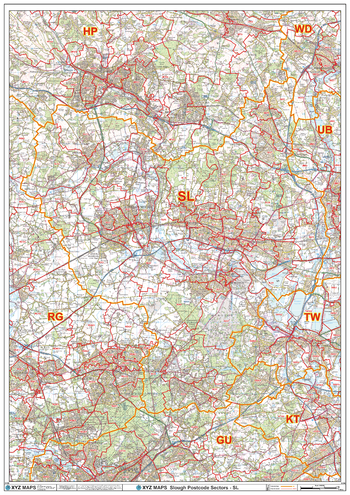
Slough - SL - Postcode Wall Map
XYZ Maps
The Slough Postcode Sector Wall Map shows detailed postcode sector boundaries (SL1 1, SL1 2) on a comprehensive background and is perfect for determining postcode boundaries for sales areas, planning mailshots and also an excellent reference for logistics. This wall map covers the whole of the SL Postcode Area.
Page Size: 33.25 x 47 in (841 x 1189 mm)
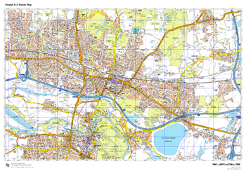
Slough A-Z Street Map
A-Z Maps
This up-to-date A-Z street map covers Slough, including the town centre together with the surrounding districts of Britwell, Chalvey, Cippenham, Colnbrook, Langley and Manor Park. Coverage also extends to neighbouring areas including Datchet and Eaton.
Page Size: 33.25 x 23.5 in (841 x 594 mm)
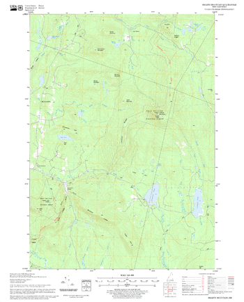
Smarts Mountain Quadrangle, New Hampshire-Vermont
United States Forest Service
United States Forestry Service topographical map of Smarts Mountain, New Hampshire-Vermont
Page Size: 21.75 x 27 in (552 x 686 mm)
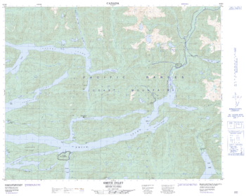
Smith Inlet - 92 M/6 - British Columbia
Natural Resources Canada
Canadian topographic map of Smith Inlet, British Columbia. NTS sheet 092M06 Edition 2.
Page Size: 31.25 x 25 in (792 x 632 mm)
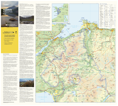
Snowdonia National Park Map - North
Collins
With clear mapping and a high level of detail, explore Snowdonia National Park easily with maps from Collins. This map identifies key park, tourist, and travel information, presented alongside a selection of photographs, making it an ideal companion for those exploring this beautiful area of West Wales.
Page Size: 25 x 22.25 in (630 x 560 mm)
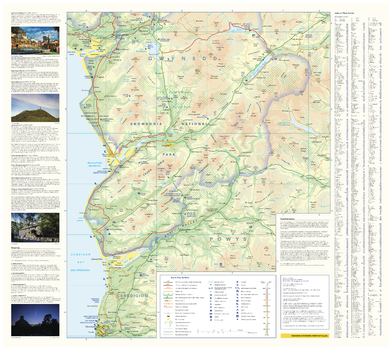
Snowdonia National Park Map - South
Collins
With clear mapping and a high level of detail, explore Snowdonia National Park easily with maps from Collins. This map identifies key park, tourist, and travel information, presented alongside a selection of photographs, making it an ideal companion for those exploring this beautiful area of West Wales.
Page Size: 25 x 22.25 in (630 x 560 mm)
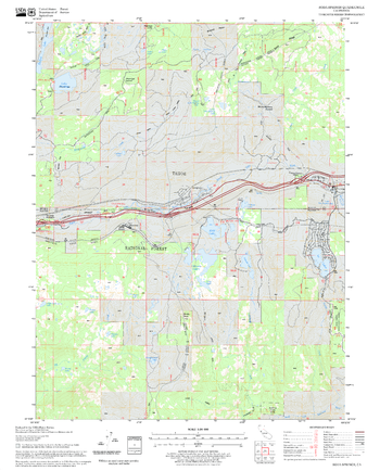
Soda Springs Quadrangle, California
United States Forest Service
United States Department of Agriculture Forestry Service topographical map of Soda Springs, Tahoe National Forest, California.
Page Size: 21.75 x 27 in (552 x 686 mm)
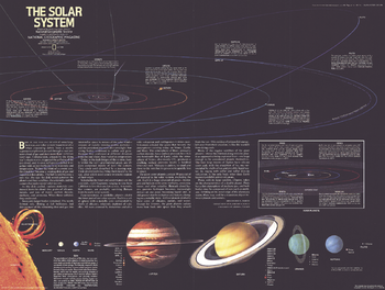
Solar System - Published 1981
National Geographic
Published in July 1981 with a map of Saturn and the article "Voyager 1 at Saturn: Riddles of the Rings," this stunning illustration of the solar system contains information about the sun and the planets, as well as an extensive introduction about the formation of the solar system.
Page Size: 22.5 x 17 in (569 x 429 mm)
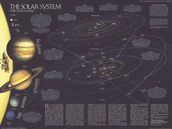
Solar System - Published 1990
National Geographic
This fascinating map of the solar system is teeming with information about the sun, the planets, their satellites, the formation of the solar system and makeup of the celestial bodies. Published in August 1990 with two articles, "Neptune: Voyager's Last Picture Show" and "Voyage of the Century," this map accompanied another work entitled "Portraits of our Celestial Family."
Page Size: 24.25 x 18.25 in (613 x 459 mm)

Solar System Wall Map
Geo4Map
The fascinating world of astronomy illustrated in detailed charts of the solar system.
Page Size: 38.75 x 27 in (980 x 680 mm)

Solar System Wall Map - Italian
Geo4Map
The fascinating world of astronomy illustrated in detailed charts of the solar system in Italian.
Page Size: 38.75 x 27 in (980 x 680 mm)
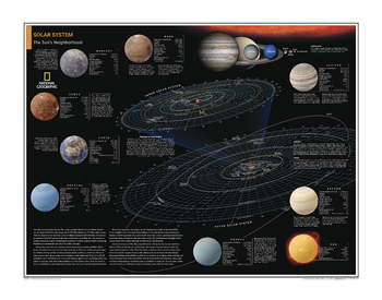
Solar System: The Sun's Neighborhood - Atlas of the World, 10th Edition
National Geographic
Page Size: 28 x 22 in (711 x 559 mm)
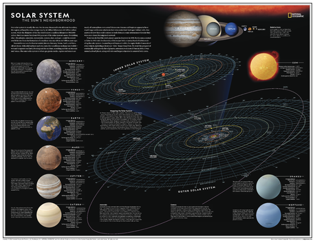
Solar System: The Sun's Neighborhood - Atlas of the World, 11th Edition
National Geographic
Our solar system is mostly the sun. Not in area, perhaps: Measured to its ultimate boundary, the region suffused by solar energy may be 46 billion kilometers (30 billion miles) across, while the diameter of the star itself is just 1.4 million kilometers (865,000 miles). But the sun accounts for about 99.9 percent of the solar system's mass. Everything else - the planets, asteroids, meteroids, comets, and floating dust and gas - could be considered leftovers from the formation of a medium-size star about 4.6 billion years ago.
Explore the sun's neighborhood - with this information-packed map of our solar system! Featuring details on all eight planets and other celestial bodies that impact orbits and the very way that the system functions, this map takes its readers on a celestial journey that provides insight into the reasons why everything is the way it is. The planets are displayed in relative sizes to truly demonstrate the sheer size of the solar system we call home.
This map is an attractive product for the budding astronomer. It makes an essential companion to Milky Way: Earth's Galactic Home, and its size makes it perfect for a gallery wall.
This map is found in National Geographic's 11th Edition World Atlas and is now available as a stand alone product.
Page Size: 31.5 x 24 in (798 x 610 mm)
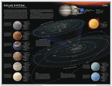
Solar System: The Sun's Neighborhood - Atlas of the World, 11th Edition - Compact
National Geographic
Our solar system is mostly the sun. Not in area, perhaps: Measured to its ultimate boundary, the region suffused by solar energy may be 46 billion kilometers (30 billion miles) across, while the diameter of the star itself is just 1.4 million kilometers (865,000 miles). But the sun accounts for about 99.9 percent of the solar system's mass. Everything else - the planets, asteroids, meteoroids, comets, and floating dust and gas - could be considered leftovers from the formation of a medium-size star about 4.6 billion years ago.
Explore the sun's neighborhood - with this information-packed map of our solar system! Featuring details on all eight planets and other celestial bodies that impact orbits and the very way that the system functions, this map takes its readers on a celestial journey that provides insight into the reasons why everything is the way it is. The planets are displayed in relative sizes to truly demonstrate the sheer size of the solar system we call home.
This map is an attractive product for the budding astronomer. It makes an essential companion to Milky Way: Earth's Galactic Home, and its size makes it perfect for a gallery wall.
This map is found in National Geographic's 11th Edition World Atlas and is now available as a stand alone product.
Page Size: 21.5 x 16.25 in (540 x 413 mm)
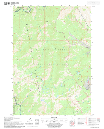
Soldier Creek Quadrangle, Idaho
United States Forest Service
United States Department of Agriculture Forestry Service topographical map of Soldier Creek, Salmon-Chalis National Forest, Idaho.
Page Size: 21.75 x 27 in (552 x 686 mm)
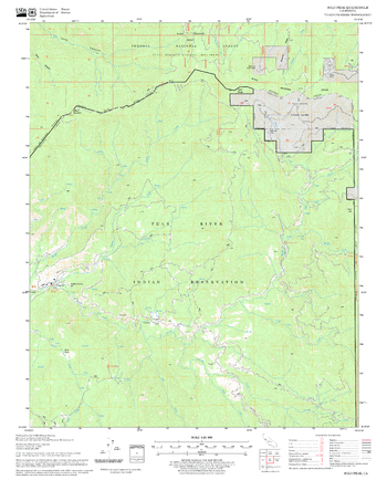
Solo Peak Quadrangle, California
United States Forest Service
United States Department of Agriculture Forestry Service topographical map of Solo Peak, Sequoia National Forest, California.
Page Size: 21.75 x 27 in (552 x 686 mm)
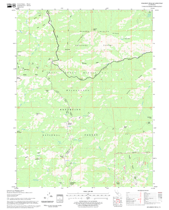
Solomon Peak Quadrangle, California
United States Forest Service
United States Department of Agriculture Forestry Service topographical map of Solomon Peak, Mendocino National Forest, California.
Page Size: 21.75 x 27 in (552 x 686 mm)
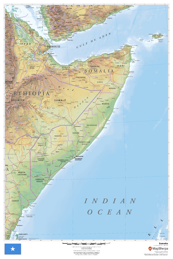
Somalia
MapSherpa
This beautiful map shows physical and political features for Somalia and surrounding areas. Relief shading and the use of different colours by height above sea level are both informative and attractive.
Page Size: 24 x 36 in (610 x 914 mm)
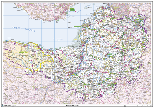
Somerset County Map
XYZ Maps
This is a large ceremonial county map of Somerset highlighting the county border, with the surrounding area faded out for excellent contrast. The map covers Bath, Bristol, Burnham-on-Sea, Clevedon, Glastonbury, Minehead, Shepton Mallett, Somerton, Taunton, Wells, Weston-Super-Mare and Yeovil. The county map shows the latest County and Unitary Authority Boundaries, Overlaid on a Clear and Easy to Read Ordnance Survey map.
Page Size: 47 x 33.25 in (1189 x 841 mm)
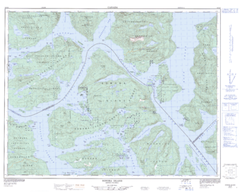
Sonora Island - 92 K/6 - British Columbia
Natural Resources Canada
Canadian topographic map of Sonora Island, British Columbia. NTS sheet 092K06 Edition 2.
Page Size: 32.75 x 26 in (829 x 660 mm)
No search results