


MapSherpa Catalog
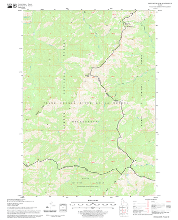
Shellrock Peak Quadrangle, Idaho
United States Forest Service
United States Department of Agriculture Forestry Service topographical map of Shellrock Peak, Salmon-Chalis National Forest, Idaho.
Page Size: 21.75 x 27 in (552 x 686 mm)
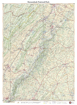
Shenandoah National Park
Benchmark Maps
Skyline Drive and the Appalachian Trail trace the spine of the Blue Ridge Mountains through this landscape of craggy peaks, deep forests, and rolling ridges. More than a third of the park has been designated as wilderness, providing a welcome escape from nearby cities. This wall map details the terrain and recreation features inside Shenandoah National Park and highlights its surrounding communities.
Page Size: 38.25 x 28 in (972 x 711 mm)
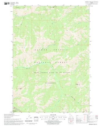
Sherman Peak Quadrangle, Idaho
United States Forest Service
United States Department of Agriculture Forestry Service topographical map of Sherman Peak, Salmon-Chalis National Forest, Idaho.
Page Size: 21.75 x 27 in (552 x 686 mm)
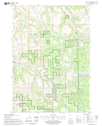
Sherrard Hill Quadrangle, South Dakota
United States Forest Service
United States Department of Agriculture Forestry Service topographical map of Sherrard Hill, Black Hills National Forest, South Dakota.
Page Size: 21.75 x 27 in (552 x 686 mm)
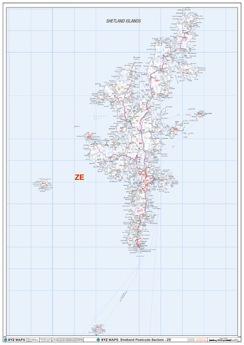
Shetland - ZE - Postcode Wall Map
XYZ Maps
The Shetland Postcode Sector Wall Map shows detailed postcode sector boundaries (ZE1 1, ZE1 2) on a comprehensive background and is perfect for determining postcode boundaries for sales areas, planning mailshots and also an excellent reference for logistics. This wall map covers the whole of the ZE Postcode Area.
Page Size: 33.25 x 47 in (841 x 1189 mm)
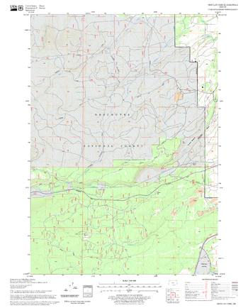
Shevlin Park Quadrangle, Oregon
United States Forest Service
United States Department of Agriculture Forestry Service topographical map of Shevlin Park, Deschutes National Forest, Oregon.
Page Size: 21.75 x 27 in (552 x 686 mm)
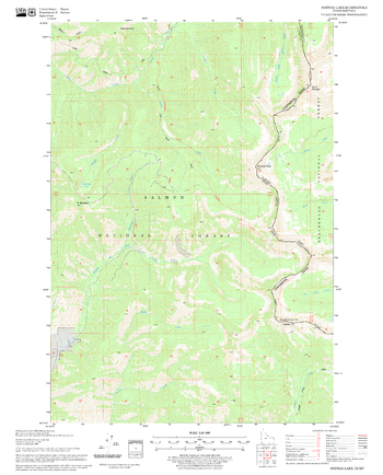
Shewag Lake Quadrangle, Idaho
United States Forest Service
United States Department of Agriculture Forestry Service topographical map of Shewag Lake, Salmon-Chalis National Forest, Idaho.
Page Size: 21.75 x 27 in (552 x 686 mm)
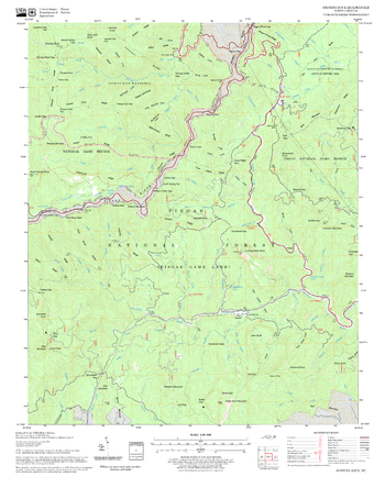
Shining Rock Quadrangle, North Carolina
United States Forest Service
United States Department of Agriculture Forestry Service topographical map of Shining Rock, Pisgah National Forest, North Carolina.
Page Size: 21.75 x 27 in (552 x 686 mm)
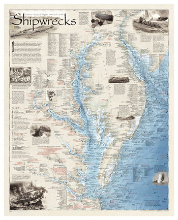
Shipwrecks of Delmarva
National Geographic
Shipwrecks of the Delmarva shows the location of more than 2,400 wrecks from the waters off the Delaware coast to the waters of the Chesapeake Bay, displayed atop beautiful bathymetric and coastal detail. Each wreck site is symbolized to define the class, type, and name of vessel accompanied by their dates of sinking. Locations of lifesaving stations, lighthouses and lightships, along with navigational beacons are accurately marked. Bathymetric and coastal features are clearly labeled, accompanied by inset maps, captions, and drawings used to highlight unique historical events such as the sinking of the U.S.S. Cumberland, the German U-Boat offensives, and the ghost fleet of Mallows Bay - the largest assemblage of wooden ships in the Western Hemisphere.Wrecks featured on this map span from the mid-1600s galleons to 20th-century naval ships, those lost in military conflict, foul weather, bloody mutinies, pirate raids, human error, treacherous shoals, and a myriad of other events.
Page Size: 28 x 35 in (711 x 889 mm)
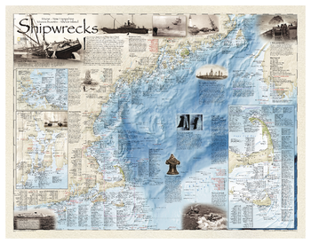
Shipwrecks of the Northeast
National Geographic
Shipwrecks of the Northeast illustrates more than 5,400 known shipwrecks on the untamed Atlantic coast of New England (Maine, Massachusetts, New Hampshire and Rhode Island). From Rhode Islands' Narragansett Bay to Maine's St. Croix River, each wreck site is symbolized to define the class, type and name of vessel accompanied by the date of sinking. Icons also indicate whether a ship was lost due to conflict or natural causes.Locations of lifesaving stations and lighthouses, along with navigational beacons are also marked. Bathymetric and coastal features are clearly labeled. Captions and drawings highlight unique historical events such as the infamous sinking of the Italian luxury liner Andrea Doria off the coast of Nantucket in 1956. Wrecks featured on this map span from mid-1600s galleons to 20th-century naval ships, those lost in military conflict, foul weather, mutinies, unseen rocks, treacherous shoals, mechanical failures and a myriad of other events.
Page Size: 36 x 28 in (914 x 711 mm)
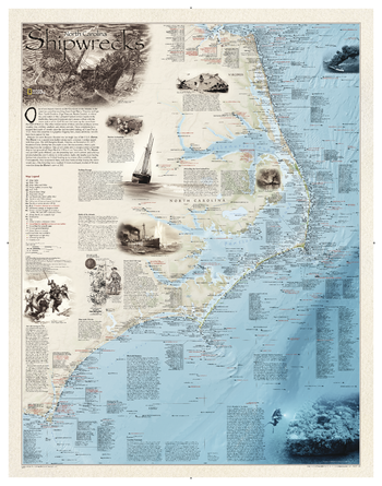
Shipwrecks of the Outer Banks
National Geographic
Shipwrecks of the Outer Bank illustrates more than 1,550 shipwrecks of the Atlantic Coast from Cape Henry, Virginia to Cape Fear, North Carolina. Each wreck site is symbolized to define the class, type and name of vessel accompanied by the date of sinking. Icons also indicate whether a ship was lost due to conflict or natural causes.Locations of lifesaving stations and lighthouses, along with navigational beacons are also marked. Bathymetric and coastal features are clearly labeled. Captions and drawings highlight unique historical events.
Page Size: 28 x 36 in (711 x 914 mm)
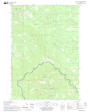
Shitike Butte Quadrangle, Oregon
United States Forest Service
United States Department of Agriculture Forestry Service topographical map of Shitike Butte, Deschutes National Forest, Oregon.
Page Size: 21.75 x 27 in (552 x 686 mm)
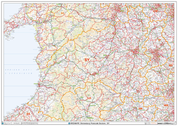
Shrewsbury - SY - Postcode Wall Map
XYZ Maps
The Shrewsbury Postcode Sector Wall Map shows detailed postcode sector boundaries (SY1 1, SY1 2) on a comprehensive background and is perfect for determining postcode boundaries for sales areas, planning mailshots and also an excellent reference for logistics. This wall map covers the whole of the SY Postcode Area.
Page Size: 47 x 33.25 in (1189 x 841 mm)
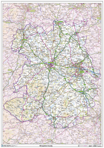
Shropshire County Map
XYZ Maps
This is a large ceremonial county map of Shropshire highlighting the county border, with the surrounding area faded out for excellent contrast. The map covers Bishops Castle, Bridgnorth, Church Stretton, Dawley, Donnington, Ellesmere, Ludlow, Coalbrookedale, Newport, Oswestry, Shrewsbury and Telford. The county map shows the latest County and Unitary Authority Boundaries, Overlaid on a Clear and Easy to Read Ordnance Survey map.
Page Size: 33.25 x 47 in (841 x 1189 mm)
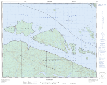
Shushartie - 92 L/13 - British Columbia
Natural Resources Canada
Canadian topographic map of Shushartie, British Columbia. NTS sheet 092L13 Edition 3.
Page Size: 31.75 x 25.25 in (806 x 640 mm)
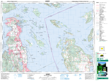
Sidney - 92 B/11 - British Columbia
Natural Resources Canada
Canadian topographic map of Sidney, British Columbia. NTS sheet 092B11 Edition 6.
Page Size: 35 x 26 in (887 x 659 mm)
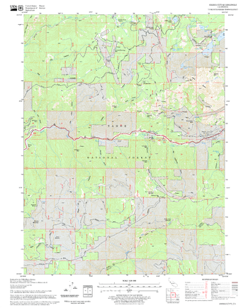
Sierra City Quadrangle, California
United States Forest Service
United States Department of Agriculture Forestry Service topographical map of Sierra City, Tahoe National Forest, California.
Page Size: 21.75 x 27 in (552 x 686 mm)
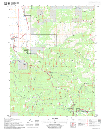
Sierraville Quadrangle, California
United States Forest Service
United States Department of Agriculture Forestry Service topographical map of Sierraville, Tahoe National Forest, California.
Page Size: 21.75 x 27 in (552 x 686 mm)
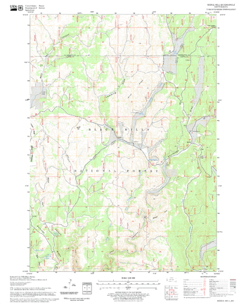
Signal Hill Quadrangle, South Dakota
United States Forest Service
United States Department of Agriculture Forestry Service topographical map of Signal Hill, Black Hills National Forest, South Dakota.
Page Size: 21.75 x 27 in (552 x 686 mm)
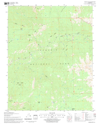
Silver City Quadrangle, California
United States Forest Service
United States Department of Agriculture Forestry Service topographical map of Silver City, Sequoia National Forest, California.
Page Size: 21.75 x 27 in (552 x 686 mm)
No search results