


MapSherpa Catalog
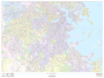
Boston, Massachusetts - Landscape
MapSherpa
This landscape-oriented map of Boston, Massachusetts shows detailed street level information including extensive street labeling. Ideal for planning of deliveries, home services, sales territories, real estate and much more. Base map features include all roads with major roads and highways labelled; neighborhood names; railways; high level land use such as parks and recreation areas, industrial areas and hospital campuses; and a variety of points of interest including schools, libraries, stadiums, museums, border crossings and more.
Page Size: 48 x 36 in (1219 x 914 mm)
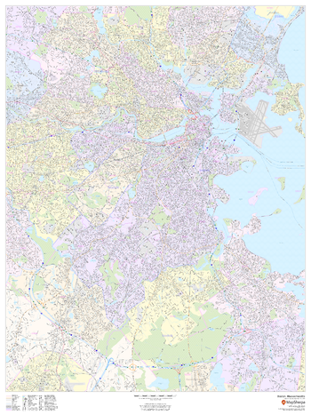
Boston, Massachusetts - Portrait
MapSherpa
This portrait-oriented map of Boston, Massachusetts shows detailed street level information including extensive street labeling. Ideal for planning of deliveries, home services, sales territories, real estate and much more. Base map features include all roads with major roads and highways labelled; neighborhood names; railways; high level land use such as parks and recreation areas, industrial areas and hospital campuses; and a variety of points of interest including schools, libraries, stadiums, museums, border crossings and more.
Page Size: 36 x 48 in (914 x 1219 mm)
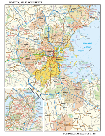
Boston, Massachusetts Wall Map, large
Globe Turner
This detailed reference map combines two maps in one - a regional map of the Boston metropolitan area plus a street-level map of center-city Boston. The regional map shows the area’s cities and towns, highways and roads, and a variety of points of interest. Cambridge, Quincy, Salem and historic Lexington are among the neighboring cities and towns shown on this map. The highly detailed inset of central Boston shows highways, streets, parks, landmarks, and other points of interest. The North End, West End, Beacon Hill, and Chinatown are among the neighborhoods featured on this map. Also available in a small size of 14.50" high X 11.25" wide.
Page Size: 22.75 x 29 in (572 x 737 mm)
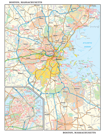
Boston, Massachusetts Wall Map, small
Globe Turner
This detailed reference map combines two maps in one - a regional map of the Boston metropolitan area plus a street-level map of center-city Boston. The regional map shows the area’s cities and towns, highways and roads, and a variety of points of interest. Cambridge, Quincy, Salem and historic Lexington are among the neighboring cities and towns shown on this map. The highly detailed inset of central Boston shows highways, streets, parks, landmarks, and other points of interest. The North End, West End, Beacon Hill, and Chinatown are among the neighborhoods featured on this map. Also available in a large size of 29.00" high X 22.50" wide.
Page Size: 11.25 x 14.5 in (286 x 368 mm)
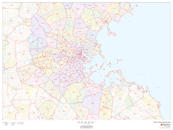
Boston, Massachusetts ZIP Codes
MapSherpa
This map of Boston shows ZIP code areas overlaid on a road map. Ideal for planning of deliveries, home services, sales territories, real estate and much more. Base map features include all roads with major roads and highways labelled; neighborhood names; railways; and high level land use such as parks and recreation areas, industrial areas and hospital campuses.
Page Size: 48 x 36 in (1219 x 914 mm)
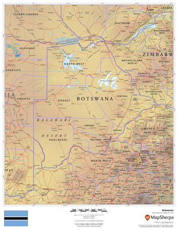
Botswana
MapSherpa
This beautiful map shows physical and political features for Botswana and surrounding areas. Relief shading and the use of different colours by height above sea level are both informative and attractive.
Page Size: 17 x 22 in (432 x 559 mm)
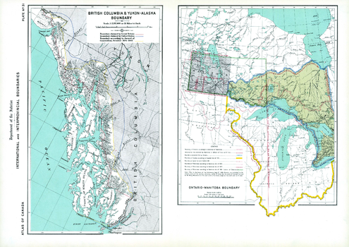
Boundaries of BC-Yukon-Alaska, Ontario-Manitoba (1906)
Natural Resources Canada
Contained within the 1st Edition (1906) of the Atlas of Canada is a plate that consists of 2 maps illustrating international and interprovincial boundary historical claims up to 1906. One map shows Ontario, Manitoba and adjacent parts of the US. The other map shows the Alaska boundary dispute. British Columbia and Yukon - Alaska boundary map displays the respective disputes of Great Britain and the United States, as well as the awarded boundary announced October 20th, 1905. The Ontario-Manitoba boundary map was concentrated on the contestation of the Dominion and Manitoba disputing the Ontario boundary on the west by prolongation of a due north line from the joining of the Ohio and Mississippi, as well as the height of land between the St. Lawrence and Hudson bay. In addition, major railway systems displayed.
Page Size: 24.25 x 17.25 in (613 x 433 mm)
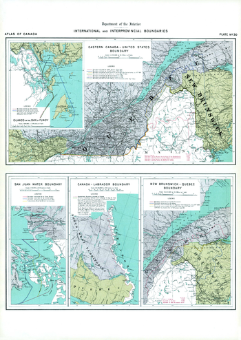
Boundaries of Eastern Canada; San Juan Water Boundary (1906)
Natural Resources Canada
Contained within the 1st Edition (1906) of the Atlas of Canada is a plate that shows five maps illustrating international and interprovincial boundary claims. Two show the Quebec - New Brunswick - Maine area, and another displays the Canada - Labrador boundary. There are two small maps showing offshore claims; one for the Bay of Fundy, and the other for the Gulf Islands (San Juan) in the Strait of Georgia. The Eastern Canada- United States boundary was commonly called the 'Marine boundary' from 1783 to 1842. There were still many disputes going on at the time, including jurisdiction of Newfoundland, the province of New Brunswick - Quebec and the United States, as well as Vancouver Island. The boundary indicating the Labrador coast was to be claimed by Canada. In addition, major railway systems displayed.
Page Size: 17.25 x 24.25 in (433 x 612 mm)
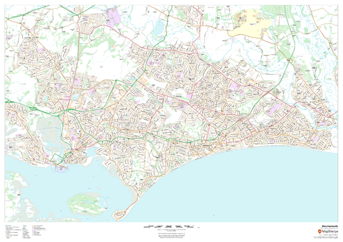
Bournemouth
MapSherpa
This map of Bournemouth shows detailed street level information including extensive street labelling. Ideal for planning of deliveries, home services, sales territories, real estate and much more.
Page Size: 47 x 33.25 in (1189 x 841 mm)

Bournemouth - BH - Postcode Wall Map
XYZ Maps
The Bournemouth Postcode Sector Wall Map shows detailed postcode sector boundaries (BH1 1, BH1 2) on a comprehensive background and is perfect for determining postcode boundaries for sales areas, planning mailshots and also an excellent reference for logistics. This wall map covers the whole of the BH Postcode Area.
Page Size: 47 x 33.25 in (1189 x 841 mm)
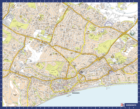
Bournemouth A-Z Street Map
A-Z Maps
The perfect reference map for finding your way around Bournemouth. This up-to-date detailed A-Z town plan includes more than 2,000 streets in and around Bournemouth. As well as Bournemouth and Boscombe piers, other areas covered are Westbourne, Talbot Village, Charminster and Pokesdown. The highly detailed 1 mile to 5.5 inch street map includes places of interest, among other features.
Page Size: 28.5 x 22.25 in (718 x 560 mm)
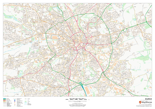
Bradford
MapSherpa
This map of Bradford shows detailed street level information including extensive street labelling. Ideal for planning of deliveries, home services, sales territories, real estate and much more.
Page Size: 33.25 x 23.5 in (841 x 594 mm)

Bradford - BD - Postcode Wall Map
XYZ Maps
The Bradford Postcode Sector Wall Map shows detailed postcode sector boundaries (BD1 1, BD1 2) on a comprehensive background and is perfect for determining postcode boundaries for sales areas, planning mailshots and also an excellent reference for logistics. This wall map covers the whole of the BD Postcode Area.
Page Size: 33.25 x 47 in (841 x 1189 mm)
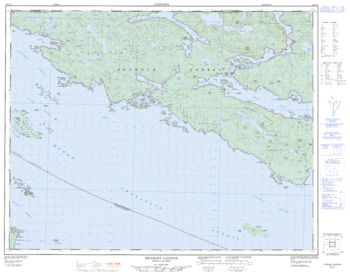
Bradley Lagoon - 92 L/14 - British Columbia
Natural Resources Canada
Canadian topographic map of Bradley Lagoon, British Columbia. NTS sheet 092L14 Edition 2.
Page Size: 32.25 x 25.75 in (816 x 649 mm)
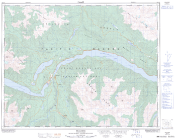
Bralorne - 92 J/15 - British Columbia
Natural Resources Canada
Canadian topographic map of Bralorne, British Columbia. NTS sheet 092J15 Edition 2.
Page Size: 32 x 25.5 in (810 x 642 mm)
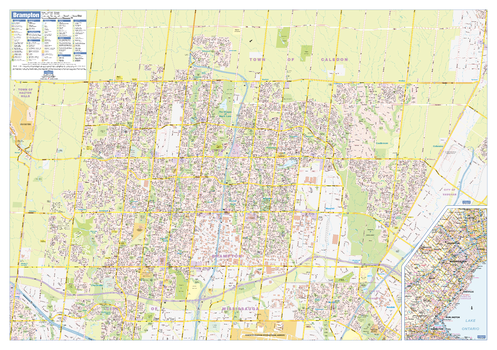
Brampton Wall Map - Street Detail
Lucidmap
This wall map shows highly detailed local information for the city of Brampton. Full street labeling along with transit information, parks, schools, churches and landmarks throughout the city are displayed.
The map has been designed in a very clear and legible manner with a traditional Canadian street map style embraced by map buyers over many years.
Page Size: 40 x 28 in (1016 x 711 mm)
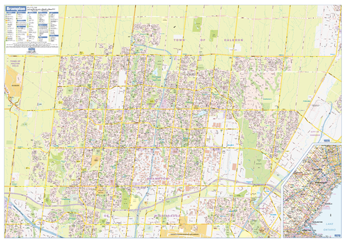
Brampton Wall Map - Street Detail - Large
Lucidmap
This large wall map shows highly detailed local information for the city of Brampton. Full street labeling along with transit information, parks, schools, churches and landmarks throughout the city are displayed.
The map has been designed in a very clear and legible manner with a traditional Canadian street map style embraced by map buyers over many years.
Page Size: 54 x 37.5 in (1372 x 953 mm)
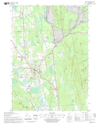
Brandon Quadrangle, New Hampshire-Vermont
United States Department of Agriculture Forest Service
United States Forestry Service topographical map of Brandon, New Hampshire-Vermont
Page Size: 21.75 x 27 in (552 x 686 mm)
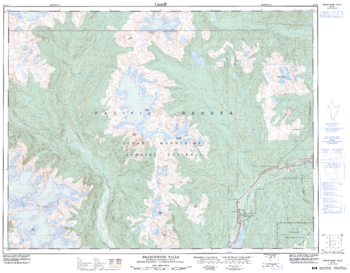
Brandywine Falls - 92 J/3 - British Columbia
Natural Resources Canada
Canadian topographic map of Brandywine Falls, British Columbia. NTS sheet 092J03 Edition 3.
Page Size: 32.5 x 25.5 in (822 x 641 mm)
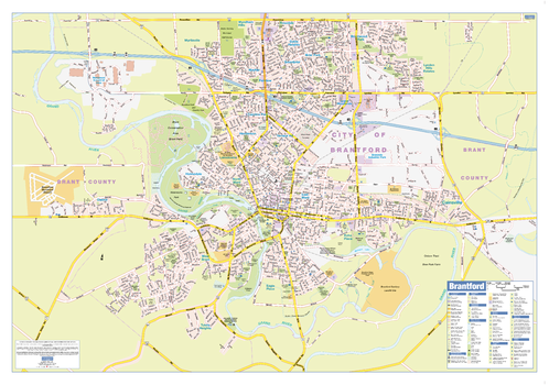
Brantford Wall Map - Street Detail
Lucidmap
This wall map shows highly detailed local information for the city of Brantford. Full street labeling along with transit information, parks, schools, churches and landmarks throughout the city are displayed.
The map has been designed in a very clear and legible manner with a traditional Canadian street map style embraced by map buyers over many years.
Page Size: 36.5 x 25.5 in (925 x 642 mm)
No search results