


MapSherpa Catalog
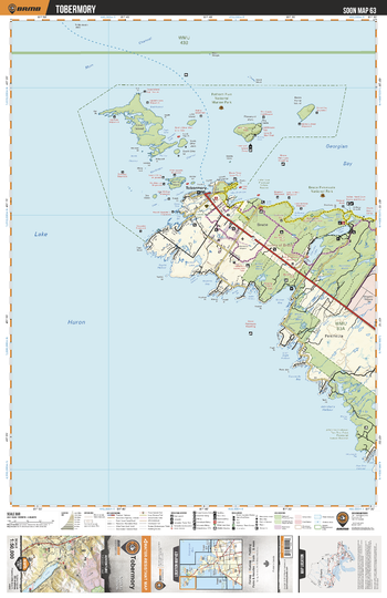
SOON63 Tobermory - Southern Ontario Topo
Backroad Mapbooks
This recreation topographic map for Tobermory highlights all the logging/resource roads, hunting areas, fishing lakes & streams, campsites, paddling routes for canoeing and kayaking, wildlife viewing areas, multi-use trails for hiking, biking, horseback riding, cross-country skiing and snowshoeing, motorized trails for ATVing and snowmobiling & more. Covering 1,090 km2 (420 mi2), this 1:50,000 scale map measures 29 x 38 km (18 x 24 mi), providing you with more topographic and recreational detail for the Niagara-on-the-Lake area than any other map on the market. New features include expanded road and trail data and countless recreational Points of Interest. Included on this map are Cove Island, Fathom Five National Marine Park, Bear's Rump Island, Bruce Peninsula National Park, Bruce Peninsula, Tobermory, Cameron Lake, Flowerpot Island, Cyprus Lake and more.
Page Size: 24 x 37 in (610 x 940 mm)
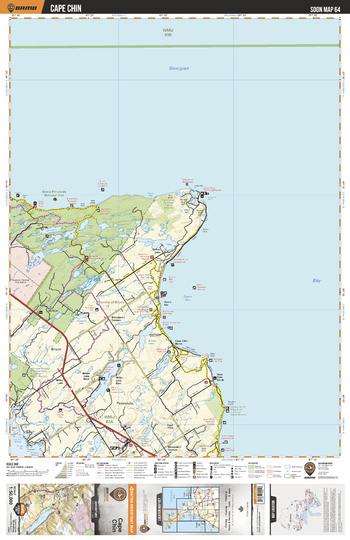
SOON64 Cape Chin - Southern Ontario Topo
Backroad Mapbooks
This recreation topographic map for Cape Chin highlights all the logging/resource roads, hunting areas, fishing lakes & streams, campsites, paddling routes for canoeing and kayaking, wildlife viewing areas, multi-use trails for hiking, biking, horseback riding, cross-country skiing and snowshoeing, motorized trails for ATVing and snowmobiling & more. Covering 1,090 km2 (420 mi2), this 1:50,000 scale map measures 29 x 38 km (18 x 24 mi), providing you with more topographic and recreational detail for the Niagara-on-the-Lake area than any other map on the market. New features include expanded road and trail data and countless recreational Points of Interest. Included on this map are Bruce Peninsula National Park, Miller Lake, Dyer's Bay, Georgian Bay, Cape Chin, Britain Lake, Gillies Lake, McVicar and more.
Page Size: 24 x 37 in (610 x 940 mm)
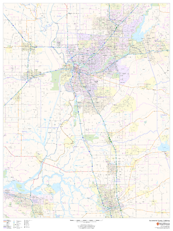
Sacramento County, California
MapSherpa
This map of Sacramento County, California shows regional level information. Base map features include highways and major roads with labelling; railways; high level land use such as parks and recreation areas; and a selection of points of interest including transportation hubs like airports and train stations, tourist information and police stations. ZIP code boundaries are shown as a secondary map feature.
Page Size: 36 x 48 in (914 x 1219 mm)
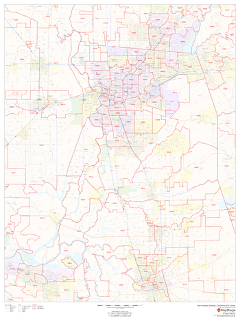
Sacramento County, California ZIP Codes
MapSherpa
This map of Sacramento County, California shows ZIP code areas overlaid on a road map. Ideal for planning of deliveries, home services, sales territories, real estate and much more. Base map features include all roads with major roads and highways labelled; neighborhood names; railways; and high level land use such as parks and recreation areas, industrial areas and hospital campuses.
Page Size: 36 x 48 in (914 x 1219 mm)
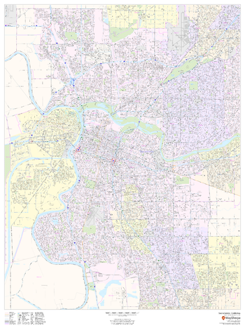
Sacramento, California - Portrait
MapSherpa
This portrait-oriented map of Sacramento, California shows detailed street level information including extensive street labeling. Ideal for planning of deliveries, home services, sales territories, real estate and much more. Base map features include all roads with major roads and highways labelled; neighborhood names; railways; high level land use such as parks and recreation areas, industrial areas and hospital campuses; and a variety of points of interest including schools, libraries, stadiums, museums, border crossings and more.
Page Size: 36 x 48 in (914 x 1219 mm)
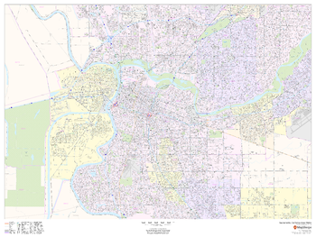
Sacramento, California Inner Metro - Landscape
MapSherpa
This landscape-oriented map of central Sacramento, California shows detailed street level information including extensive street labeling. Ideal for planning of deliveries, home services, sales territories, real estate and much more. Base map features include all roads with major roads and highways labelled; neighborhood names; railways; high level land use such as parks and recreation areas, industrial areas and hospital campuses; and a variety of points of interest including schools, libraries, stadiums, museums, border crossings and more.
Page Size: 48 x 36 in (1219 x 914 mm)
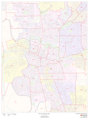
Sacramento, California ZIP Codes
MapSherpa
This map of Sacramento, California shows ZIP code areas overlaid on a road map. Ideal for planning of deliveries, home services, sales territories, real estate and much more. Base map features include all roads with major roads and highways labelled; neighborhood names; railways; and high level land use such as parks and recreation areas, industrial areas and hospital campuses.
Page Size: 36 x 48 in (914 x 1219 mm)
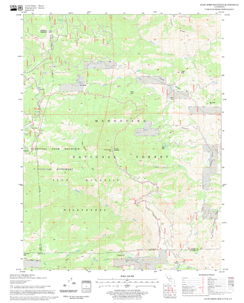
Saint John Mountain Quadrangle, California
United States Forest Service
United States Department of Agriculture Forestry Service topographical map of Saint John Mountain, Mendocino National Forest, California.
Page Size: 21.75 x 27 in (552 x 686 mm)
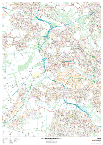
Salford
MapSherpa
This map of Salford shows detailed street level information including extensive street labelling. Ideal for planning of deliveries, home services, sales territories, real estate and much more.
Page Size: 33.25 x 47 in (841 x 1189 mm)
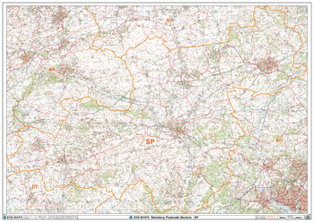
Salisbury - SP - Postcode Wall Map
XYZ Maps
The Salisbury Postcode Sector Wall Map shows detailed postcode sector boundaries (SP1 1, SP1 2) on a comprehensive background and is perfect for determining postcode boundaries for sales areas, planning mailshots and also an excellent reference for logistics. This wall map covers the whole of the SP Postcode Area.
Page Size: 47 x 33.25 in (1189 x 841 mm)
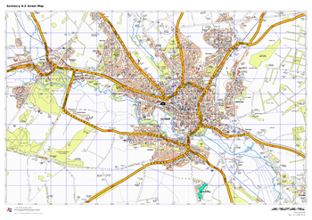
Salisbury A-Z Street Map
A-Z Maps
This up-to-date A-Z street map includes all of the 1,500 streets in and around Salisbury as well as: postcode districts, one-way streets and car parks. Detailed coverage of an area extending from Stratford sub Castle in the north to Salisbury District Hospital in the south, and from Laverstock in the east to Wilton Park in the west.
Page Size: 33.25 x 23.5 in (841 x 594 mm)
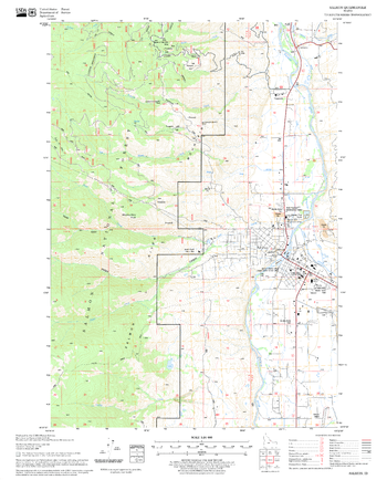
Salmon Quadrangle, Idaho
United States Forest Service
United States Department of Agriculture Forestry Service topographical map of Salmon, Salmon-Chalis National Forest, Idaho.
Page Size: 21.75 x 27 in (552 x 686 mm)
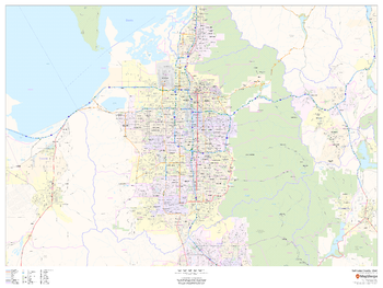
Salt Lake County, Utah
MapSherpa
This map of Salt Lake County, Utah shows regional level information. Base map features include highways and major roads with labelling; neighborhood names; railways; high level land use such as parks and recreation areas, industrial areas and hospital campuses; and a selection of points of interest including transportation hubs like airports and train stations, tourist information, police stations and shopping centres. ZIP code boundaries are shown as a secondary map feature.
Page Size: 48 x 36 in (1219 x 914 mm)
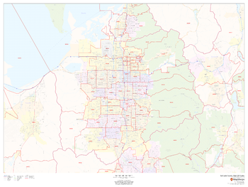
Salt Lake County, Utah ZIP Codes
MapSherpa
This map of Salt Lake County, Utah shows ZIP code areas overlaid on a road map. Ideal for planning of deliveries, home services, sales territories, real estate and much more. Base map features include all roads with major roads and highways labelled; neighborhood names; railways; and high level land use such as parks and recreation areas, industrial areas and hospital campuses.
Page Size: 48 x 36 in (1219 x 914 mm)
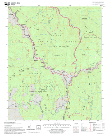
Sam Knob Quadrangle, North Carolina
United States Forest Service
United States Department of Agriculture Forestry Service topographical map of Sam Knob, Pisgah National Forest, North Carolina.
Page Size: 21.75 x 27 in (552 x 686 mm)
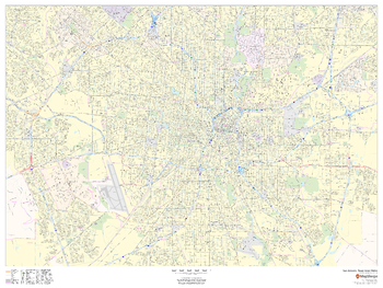
San Antonio, Texas Inner Metro - Landscape
MapSherpa
This landscape-oriented map of central San Antonio, Texas shows detailed street level information including extensive street labeling. Ideal for planning of deliveries, home services, sales territories, real estate and much more. Base map features include all roads with major roads and highways labelled; neighborhood names; railways; high level land use such as parks and recreation areas, industrial areas and hospital campuses; and a variety of points of interest including schools, libraries, stadiums, museums, border crossings and more.
Page Size: 48 x 36 in (1219 x 914 mm)
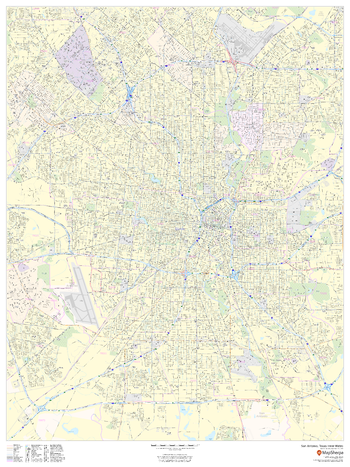
San Antonio, Texas Inner Metro - Portrait
MapSherpa
This portrait-oriented map of central San Antonio, Texas shows detailed street level information including extensive street labeling. Ideal for planning of deliveries, home services, sales territories, real estate and much more. Base map features include all roads with major roads and highways labelled; neighborhood names; railways; high level land use such as parks and recreation areas, industrial areas and hospital campuses; and a variety of points of interest including schools, libraries, stadiums, museums, border crossings and more.
Page Size: 36 x 48 in (914 x 1219 mm)
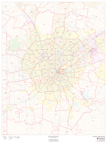
San Antonio, Texas ZIP Codes
MapSherpa
This map of San Antonio shows ZIP code areas overlaid on a road map. Ideal for planning of deliveries, home services, sales territories, real estate and much more. Base map features include all roads with major roads and highways labelled; neighborhood names; railways; and high level land use such as parks and recreation areas, industrial areas and hospital campuses.
Page Size: 36 x 48 in (914 x 1219 mm)
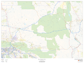
San Bernardino County, California
MapSherpa
This map of San Bernardino County, California shows regional level information. Base map features include highways and major roads with highway numbering and high level land use such as parks and recreation areas.
Page Size: 48 x 36 in (1219 x 914 mm)
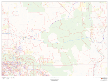
San Bernardino County, California ZIP Codes
MapSherpa
This map of San Bernardino County, California shows ZIP code areas overlaid on a road map. Ideal for planning of deliveries, home services, sales territories, real estate and much more. Base map features include all roads with major roads and highways labelled; neighborhood names; and high level land use such as parks and recreation areas, industrial areas and hospital campuses.
Page Size: 48 x 36 in (1219 x 914 mm)
No search results