top of page


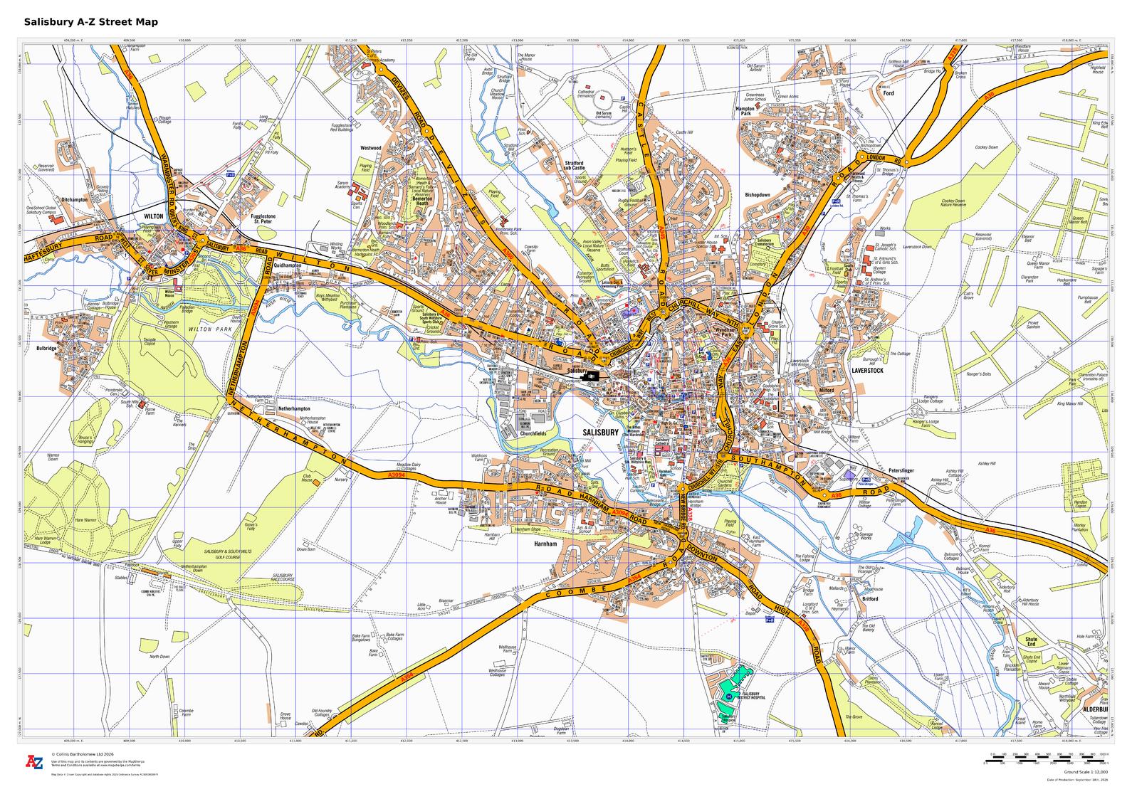
Salisbury A-Z Street Map
A-Z Maps
This up-to-date A-Z street map includes all of the 1,500 streets in and around Salisbury as well as: postcode districts, one-way streets and car parks. Detailed coverage of an area extending from Stratford sub Castle in the north to Salisbury District Hospital in the south, and from Laverstock in the east to Wilton Park in the west.
Page Size: 33.25 x 23.5 in (841 x 594 mm)
Buy this map on MapTrove.ca
bottom of page