


MapSherpa Catalog
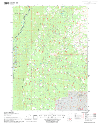
Prairie Farm Spring Quadrangle, Oregon
United States Forest Service
United States Department of Agriculture Forestry Service topographical map of Prairie Farm Spring, Deschutes National Forest, Oregon.
Page Size: 21.75 x 27 in (552 x 686 mm)
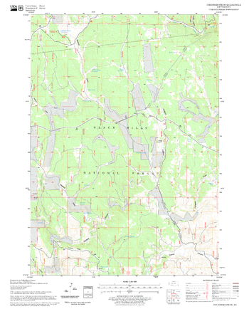
Preacher Spring Quadrangle, South Dakota
United States Forest Service
United States Department of Agriculture Forestry Service topographical map of Preacher Spring, Black Hills National Forest, South Dakota.
Page Size: 21.75 x 27 in (552 x 686 mm)
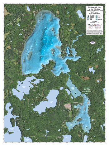
Presque Isle & Van Vliet lake
Mapping Specialists
An Attractive map of the lake showing a visual 3D representation of the lake bottom. Includes boat launches, rock area and vegetation. Land area is high resolution aerial imagery.
Page Size: 27.75 x 37.25 in (705 x 943 mm)
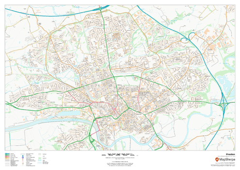
Preston
MapSherpa
This map of Preston shows detailed street level information including extensive street labelling. Ideal for planning of deliveries, home services, sales territories, real estate and much more.
Page Size: 33.25 x 23.5 in (841 x 594 mm)
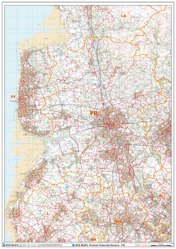
Preston - PR - Postcode Wall Map
XYZ Maps
The Preston Postcode Sector Wall Map shows detailed postcode sector boundaries (PR1 1, PR1 2) on a comprehensive background and is perfect for determining postcode boundaries for sales areas, planning mailshots and also an excellent reference for logistics. This wall map covers the whole of the PR Postcode Area.
Page Size: 33.25 x 47 in (841 x 1189 mm)
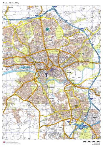
Preston A-Z Street Map
A-Z Maps
This up-to-date A-Z street map covers Preston, including the city centre together with the surrounding districts of Ashton-on-Ribble, Bamber Bridge, Fulwood, Ingol, Ribbleton and Walton-le-Dale.
Page Size: 23.5 x 33.25 in (594 x 841 mm)

Prince Albert National Park
GoTrekkers
Prince Albert National Park
Page Size: 28.5 x 46.5 in (724 x 1181 mm)
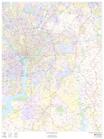
Prince George's County, Maryland
MapSherpa
This map of Prince George's County, Maryland shows regional level information. Base map features include highways and major roads with labelling; neighborhood names; railways; high level land use such as parks and recreation areas, industrial areas and hospital campuses; and a selection of points of interest including transportation hubs like airports and train stations, tourist information, police stations and shopping centres. ZIP code boundaries are shown as a secondary map feature.
Page Size: 36 x 48 in (914 x 1219 mm)
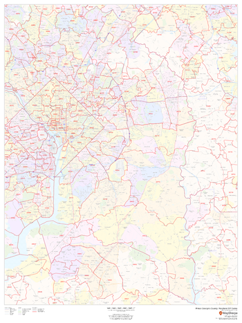
Prince George's County, Maryland ZIP Codes
MapSherpa
This map of Prince George's County, Maryland shows ZIP code areas overlaid on a road map. Ideal for planning of deliveries, home ervices, sales territories, real estate and much more. Base map features include all roads with major roads and highways labelled; neighborhood names; railways; and high level land use such as parks and recreation areas, industrial areas and hospital campuses.
Page Size: 36 x 48 in (914 x 1219 mm)
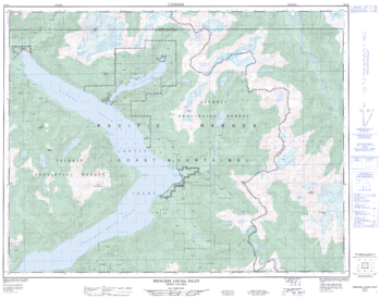
Princess Louisa Inlet - 92 J/4 - British Columbia
Natural Resources Canada
Canadian topographic map of Princess Louisa Inlet, British Columbia. NTS sheet 092J04 Edition 1.
Page Size: 32.25 x 25.25 in (816 x 641 mm)
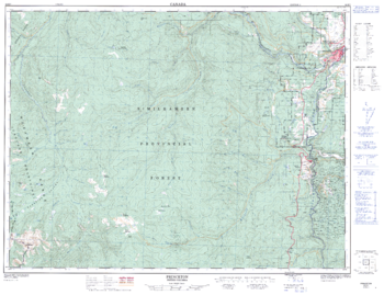
Princeton - 92 H/7 - British Columbia
Natural Resources Canada
Canadian topographic map of Princeton, British Columbia. NTS sheet 092H07 Edition 2.
Page Size: 33 x 25.5 in (834 x 642 mm)
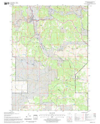
Pringle Quadrangle, South Dakota
United States Forest Service
United States Department of Agriculture Forestry Service topographical map of Pringle, Black Hills National Forest, South Dakota.
Page Size: 21.75 x 27 in (552 x 686 mm)
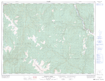
Prospect Creek - 92 I/3 - British Columbia
Natural Resources Canada
Canadian topographic map of Prospect Creek, British Columbia. NTS sheet 092I03 Edition 3.
Page Size: 32.75 x 25.5 in (830 x 644 mm)
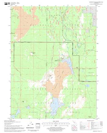
Prospect Peak Quadrangle, California
United States Forest Service
United States Department of Agriculture Forestry Service topographical map of Prospect Peak, Lassen National Forest, California.
Page Size: 21.75 x 27 in (552 x 686 mm)
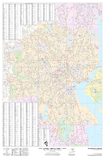
Providence, Rhode Island
MapSherpa
A detailed city map of Providence, Rhode Island with street index
Page Size: 24 x 36 in (610 x 914 mm)
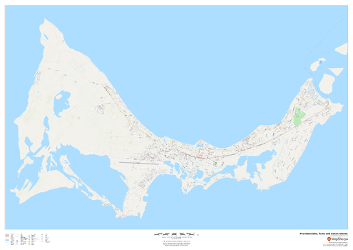
Providenciales, Turks and Caicos Islands
MapSherpa
This map of Providenciales, Turks and Caicos Islands features a clean design and rich detail designed for the traveller.
Page Size: 47 x 33.25 in (1189 x 841 mm)
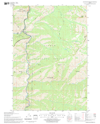
Puddin Mountain Quadrangle, Idaho
United States Forest Service
United States Department of Agriculture Forestry Service topographical map of Puddin Mountain, Salmon-Chalis National Forest, Idaho.
Page Size: 21.75 x 27 in (552 x 686 mm)
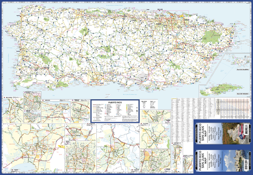
Puerto Rico Road Map
GM Johnson
Puerto Rico Road Map. Map Coverage Area: Aquadilla, Arecibo, Caguas, Fajardo, Humacao, Mayagüez, & Ponce. Includes Mileage Chart.
Page Size: 39.5 x 27.25 in (1003 x 692 mm)
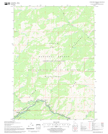
Pungo Mountain Quadrangle, Idaho
United States Forest Service
United States Department of Agriculture Forestry Service topographical map of Pungo Mountain, Salmon-Chalis National Forest, Idaho.
Page Size: 21.75 x 27 in (552 x 686 mm)
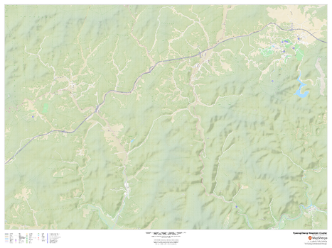
PyeongChang 2018 Winter Games Mountain Cluster Venues
MapSherpa
This road map highlights the 9 venues of the 2018 PyeongChang winter games that are in the PyeongChang Mountain Cluster: PyeongChang Olympic Stadium, Alpensia Biathalon Centre, Alpensia Cross-Country Skiing Centre, Alpensia Ski Jumping Centre, Olympic Sliding Centre, Phoenix Snow Park, Jeongseon Alpine Centre, Yongpyong Alpine Centre, and the PyeongChang Olympic Village.
Page Size: 48 x 36 in (1219 x 914 mm)
No search results