


MapSherpa Catalog
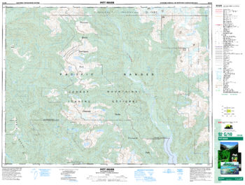
Pitt River - 92 G/10 - British Columbia
Natural Resources Canada
Canadian topographic map of Pitt River, British Columbia. NTS sheet 092G10 Edition 3.
Page Size: 34.5 x 26 in (873 x 659 mm)
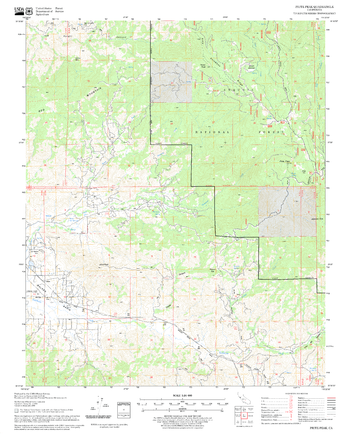
Piute Peak Quadrangle, California
United States Forest Service
United States Department of Agriculture Forestry Service topographical map of Piute Peak, Sequoia National Forest, California.
Page Size: 21.75 x 27 in (552 x 686 mm)
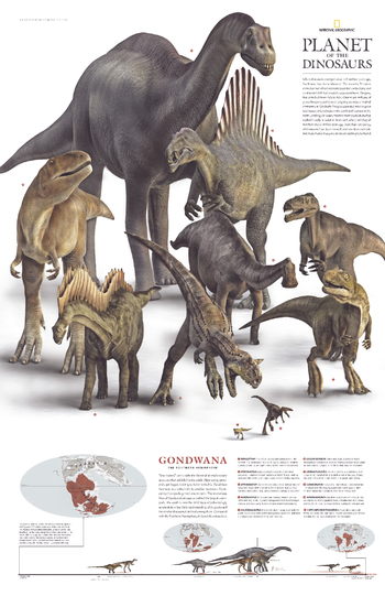
Planet of the Dinosaurs Gondwana - Published 2007
National Geographic
More than 550 species of dinosaurs have been named, and scientists estimate that more than a thousand others are waiting to be found. When the supercontient Pangaea separated into two great landmasses, Gondwana in the south and Laurasia in the north, dinosaur populations were divided into two main populations that evolved mostly in isolation from each other until they met their end 65 million years ago. This remarkable poster was published in December 2007 as half of a two-piece set. It features ten of the dinosaurs that roamed Gondwana in the southern hemisphere.
Page Size: 20.25 x 31.25 in (512 x 791 mm)
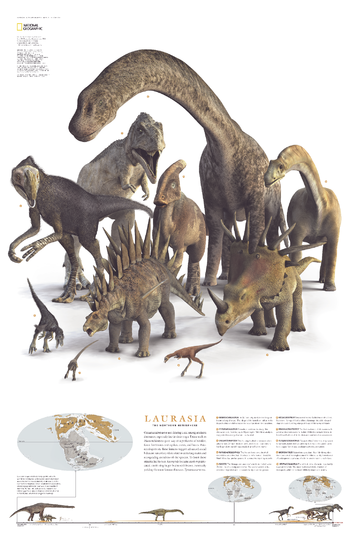
Planet of the Dinosaurs Laurasia - Published 2007
National Geographic
When the supercontient Pangaea separated into two great landmasses, Gondwana in the south and Laurasia in the north, dinosaur populations were divided into two main populations that evolved mostly in isolation from each other until they met their end 65 million years ago. This remarkable poster was published in December 2007 as half of a two-piece set. It features ten of the dinosaurs that roamed Laurasia in the northern hemisphere. More than 550 species of dinosaurs have been named, and scientists estimate that more than a thousand others are waiting to be found.
Page Size: 20.25 x 31.25 in (510 x 790 mm)
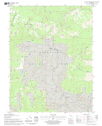
Plaskett Meadows Quadrangle, California
United States Forest Service
United States Department of Agriculture Forestry Service topographical map of Plaskett Meadows, Mendocino National Forest, California.
Page Size: 21.75 x 27 in (552 x 686 mm)
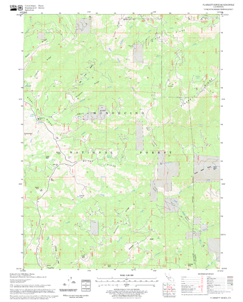
Plaskett Ridge Quadrangle, California
United States Forest Service
United States Department of Agriculture Forestry Service topographical map of Plaskett Ridge, Mendocino National Forest, California.
Page Size: 21.75 x 27 in (552 x 686 mm)
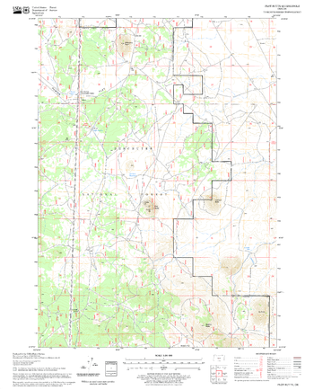
Plot Butte Quadrangle, Oregon
United States Forest Service
United States Department of Agriculture Forestry Service topographical map of Plot Butte, Deschutes National Forest, Oregon.
Page Size: 21.75 x 27 in (552 x 686 mm)
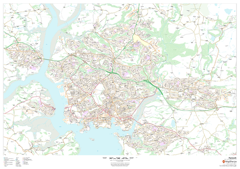
Plymouth
MapSherpa
This map of Plymouth shows detailed street level information including extensive street labelling. Ideal for planning of deliveries, home services, sales territories, real estate and much more.
Page Size: 47 x 33.25 in (1189 x 841 mm)
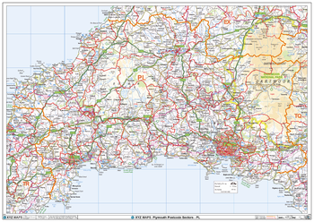
Plymouth - PL - Postcode Wall Map
XYZ Maps
The Plymouth Postcode Sector Wall Map shows detailed postcode sector boundaries (PL1 1, PL1 2) on a comprehensive background and is perfect for determining postcode boundaries for sales areas, planning mailshots and also an excellent reference for logistics. This wall map covers the whole of the PL Postcode Area.
Page Size: 47 x 33.25 in (1189 x 841 mm)
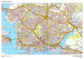
Plymouth A-Z Street Map
A-Z Maps
This up-to-date A-Z street map includes all of the 2000 streets in and around Plymouth.
As well as the Royal William Yard and Crownhill Fort, the other areas covered include Stoke, Efford, Pennycross, St Budeaux, King’s Tamerton, Eggbuckland and Manadon.
Page Size: 33.25 x 23.5 in (841 x 594 mm)
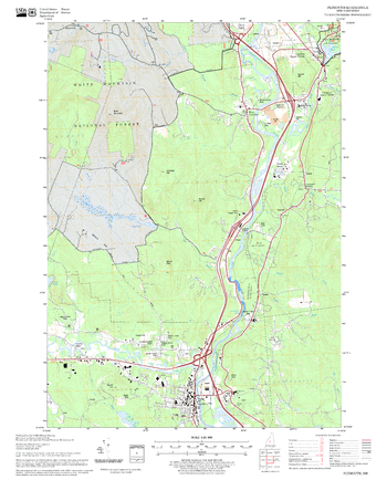
Plymouth Quadrangle, New Hampshire-Vermont
United States Forest Service
United States Forestry Service topographical map of Plymouth, New Hampshire-Vermont
Page Size: 21.75 x 27 in (552 x 686 mm)
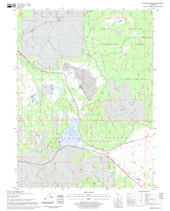
Poison Lake Quadrangle, California
United States Forest Service
United States Department of Agriculture Forestry Service topographical map of Poison Lake, Lassen National Forest, California.
Page Size: 21.75 x 27 in (552 x 686 mm)
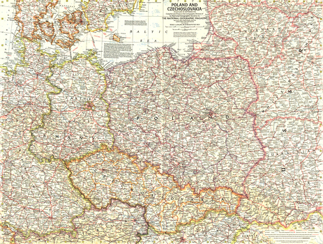
Poland and Czechoslovakia - Published 1958
National Geographic
This detailed map of Poland and Czechoslovakia contains notes about territories and administration during the Cold War era. Several boundaries are shown including those before Germany's invasion of Austria and those between communist and non-communist countries. Published in September 1958.
Page Size: 25 x 19 in (632 x 478 mm)
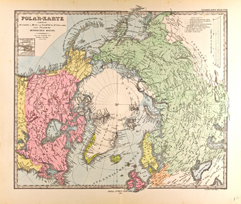
Polar Map in German - Gotha Justus Perthes 1872 Atlas
Artokoloro
Map of centered on the North Pole in German from the Gotha Justus Perthes 1872 Atlas. Full title: Polar-Karte enthalend: die Länder u. Meere vom Nord-Pol bis 50° N. Br. u. weiter; sowie Übersicht des Russischen Reichs.
Page Size: 24.5 x 20.75 in (617 x 524 mm)
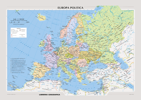
Political Europe Wall Map - Italian
Geo4Map
Attractive political wall map of Europe in Italian.
Page Size: 55.75 x 39.5 in (1410 x 1000 mm)
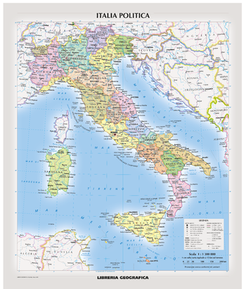
Political Italy Wall Map - Italian
Geo4Map
Attractive political wall map of Italy in Italian.
Page Size: 39.5 x 46.25 in (1000 x 1174 mm)

Political Map of the World - Extra Large
Kartographia
This map illustrates the modern political divisions of the world laid over a shaded relief. National capitals and major cities, railways, highways and major roads are included on land, and sea routes, navigation channels and seaports show major transportation routes on the oceans.
Page Size: 62.75 x 43 in (1588 x 1088 mm)

Political Map of the World - Ukrainian - Extra Large
Kartographia
This Ukrainian-language map illustrates the modern political divisions of the world. National capitals, major cities and major waterways included. Inset maps of Antarctica and Europe provide additional detail not visible on the main map.
Page Size: 61.25 x 42.75 in (1550 x 1080 mm)
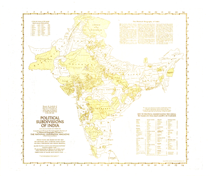
Political Subdivisions of India - Published 1946
National Geographic
Because the hundreds of political subdivisions of India are so complex, this outline map was prepared to amplify the map of India and Burma which appeared in the same issue. Published in April 1946 with three articles on India, these historical maps capture the region known then as India a year before the independent countries of India and Pakistan were formed.
Page Size: 31 x 26.25 in (787 x 661 mm)
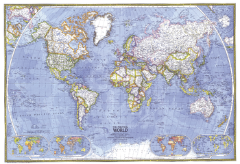
Political World - Published 1975
National Geographic
This beautiful world map emphasizes international political boundaries, and is peppered with thousands of place names across the globe. Published in November of 1975.
Page Size: 35.25 x 24.25 in (890 x 610 mm)
No search results