top of page
Plymouth A-Z Street Map
A-Z Maps
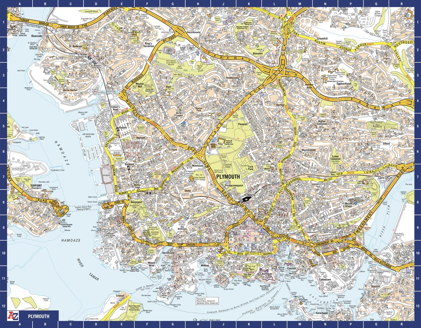
The perfect reference map for finding your way around Plymouth. This up-to-date detailed A-Z town plan includes more than 2,000 streets in and around Plymouth. As well as the Royal William Yard and Crownhill Fort, the other areas covered include Stoke, Efford, Pennycross, St Budeaux, King’s Tamerton, Eggbuckland and Manadon. The highly detailed 1 mile to 5.5 inch street map includes places of interest, among other features.
Page Size: 28.5 x 22.25 in (718 x 560 mm)
Buy this map on MapTrove.ca
bottom of page