


MapSherpa Catalog
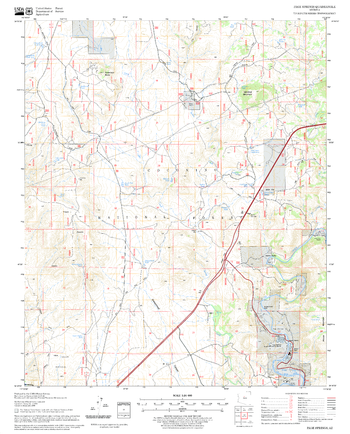
Page Springs Quadrangle, Arizona
United States Forest Service
United States Department of Agriculture Forestry Service topographical map of Page Springs, Coconino National Forest, Arizona.
Page Size: 21.75 x 27 in (552 x 686 mm)
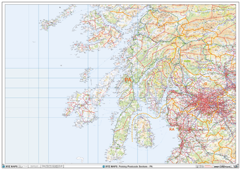
Paisley - PA - Postcode Wall Map
XYZ Maps
The Paisley Postcode Sector Wall Map shows detailed postcode sector boundaries (PA1 1, PA1 2) on a comprehensive background and is perfect for determining postcode boundaries for sales areas, planning mailshots and also an excellent reference for logistics. This wall map covers the whole of the PA Postcode Area.
Page Size: 47 x 33.25 in (1189 x 841 mm)
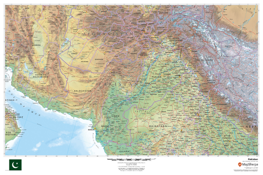
Pakistan
MapSherpa
This beautiful map shows physical and political features for Pakistan and surrounding areas. Relief shading and the use of different colours by height above sea level are both informative and attractive.
Page Size: 36 x 24 in (914 x 610 mm)
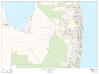
Palm Beach County, Florida
MapSherpa
This map of Palm Beach County, Florida shows regional level information. Base map features include highways and major roads with labelling; railways; high level land use such as parks and recreation areas; and a selection of points of interest including transportation hubs like airports and train stations, tourist information and police stations. ZIP code boundaries are shown as a secondary map feature.
Page Size: 48 x 36 in (1219 x 914 mm)
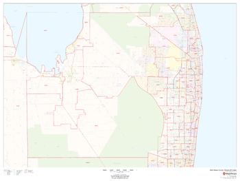
Palm Beach County, Florida ZIP Codes
MapSherpa
This map of Palm Beach County, Florida shows ZIP code areas overlaid on a road map. Ideal for planning of deliveries, home services, sales territories, real estate and much more. Base map features include all roads with major roads and highways labelled; neighborhood names; railways; and high level land use such as parks and recreation areas, industrial areas and hospital campuses.
Page Size: 48 x 36 in (1219 x 914 mm)
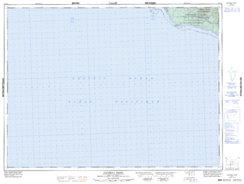
Panchena Point - 92 C/11 - British Columbia
Natural Resources Canada
Canadian topographic map of Panchena Point, British Columbia. NTS sheet 092C11 Edition 4.
Page Size: 33.75 x 25.5 in (853 x 644 mm)
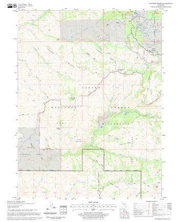
Panther Spring Quadrangle, California
United States Forest Service
United States Department of Agriculture Forestry Service topographical map of Panther Spring, Lassen National Forest, California.
Page Size: 21.75 x 27 in (552 x 686 mm)
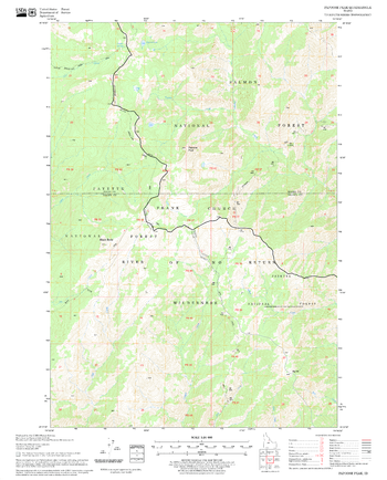
Papoose Peak Quadrangle, Idaho
United States Forest Service
United States Department of Agriculture Forestry Service topographical map of Papoose Peak, Salmon-Chalis National Forest, Idaho.
Page Size: 21.75 x 27 in (552 x 686 mm)
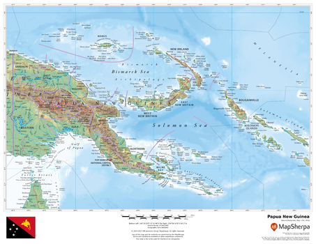
Papua New Guinea
MapSherpa
This beautiful map shows physical and political features for Papua New Guinea and surrounding areas. Relief shading and the use of different colours by height above sea level are both informative and attractive.
Page Size: 22 x 17 in (559 x 432 mm)
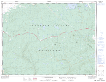
Paradise Lake - 92 H/16 - British Columbia
Natural Resources Canada
Canadian topographic map of Paradise Lake, British Columbia. NTS sheet 092H16 Edition 3.
Page Size: 32.75 x 25.5 in (826 x 642 mm)
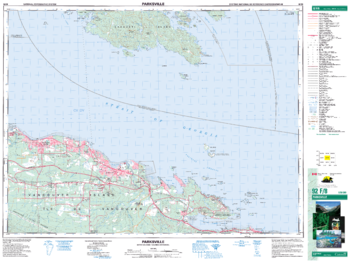
Parksville - 92 F/8 - British Columbia
Natural Resources Canada
Canadian topographic map of Parksville, British Columbia. NTS sheet 092F08 Edition 5.
Page Size: 34.75 x 26 in (876 x 659 mm)
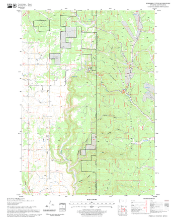
Parmlee Canyon Quadrangle, South Dakota
United States Forest Service
United States Department of Agriculture Forestry Service topographical map of Parmlee Canyon, Black Hills National Forest, South Dakota.
Page Size: 21.75 x 27 in (552 x 686 mm)
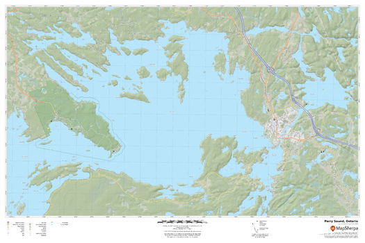
Parry Sound, Ontario
MapSherpa
A cartographically beautiful map of Parry Sound, Ontario ideal for showing off cottages, resorts, lakes and other favourite places.
Page Size: 36 x 24 in (914 x 610 mm)
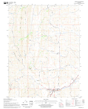
Paskenta Quadrangle, California
United States Forest Service
United States Department of Agriculture Forestry Service topographical map of Paskenta, Mendocino National Forest, California.
Page Size: 21.75 x 27 in (552 x 686 mm)
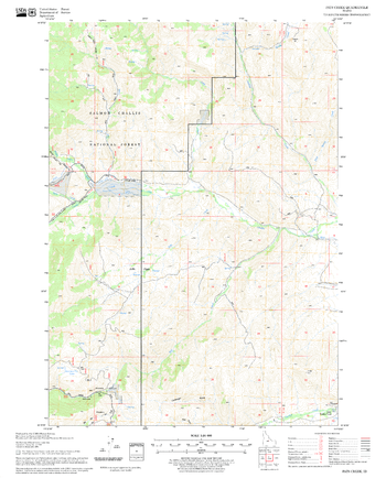
Pats Creek Quadrangle, Idaho
United States Forest Service
United States Department of Agriculture Forestry Service topographical map of Pats Creek, Salmon-Chalis National Forest, Idaho.
Page Size: 21.75 x 27 in (552 x 686 mm)
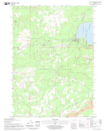
Paulina Peak Quadrangle, Oregon
United States Forest Service
United States Department of Agriculture Forestry Service topographical map of Paulina Peak, Deschutes National Forest, Oregon.
Page Size: 21.75 x 27 in (552 x 686 mm)
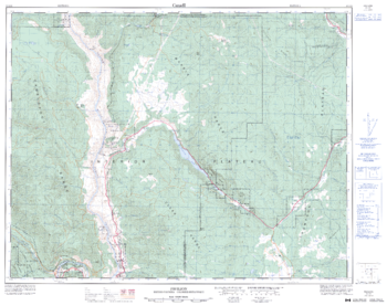
Pavilion - 92 I/13 - British Columbia
Natural Resources Canada
Canadian topographic map of Pavilion, British Columbia. NTS sheet 092I13 Edition 3.
Page Size: 32.25 x 25.5 in (814 x 644 mm)
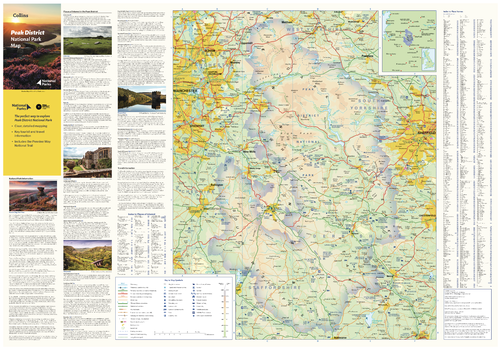
Peak District National Park Map
Collins
With clear mapping and a high level of detail, explore the Peak District National Park easily with maps from Collins. This map identifies key park, tourist, and travel information, presented alongside a selection of photographs, making it an ideal companion for those exploring this beautiful area of England.
Page Size: 32 x 22.25 in (810 x 560 mm)
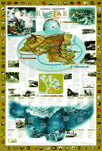
Pearl Harbor - Published 2001
National Geographic
This wall map was issued on the 60th anniversary of the attack on Pearl Harbor. This port through the Japanese attack, led to the entry of the United States in the second world war. Over 2,400 US Americans lost in the attack on Pearl Harbor life. Many texts give detailed information about this event.
Page Size: 23 x 34 in (579 x 860 mm)

Pearl Harbor WWII History Wall Map
Franko Maps
An incredibly detailed map and illustrated guide to of the events on December 7, 1941. Locates and describes all U.S. ships and assets. Inset map of the air attack. Comprehensive text with photos.
Page Size: 36 x 24 in (914 x 610 mm)
No search results