top of page
Pearl Harbor WWII History Wall Map
Franko Maps
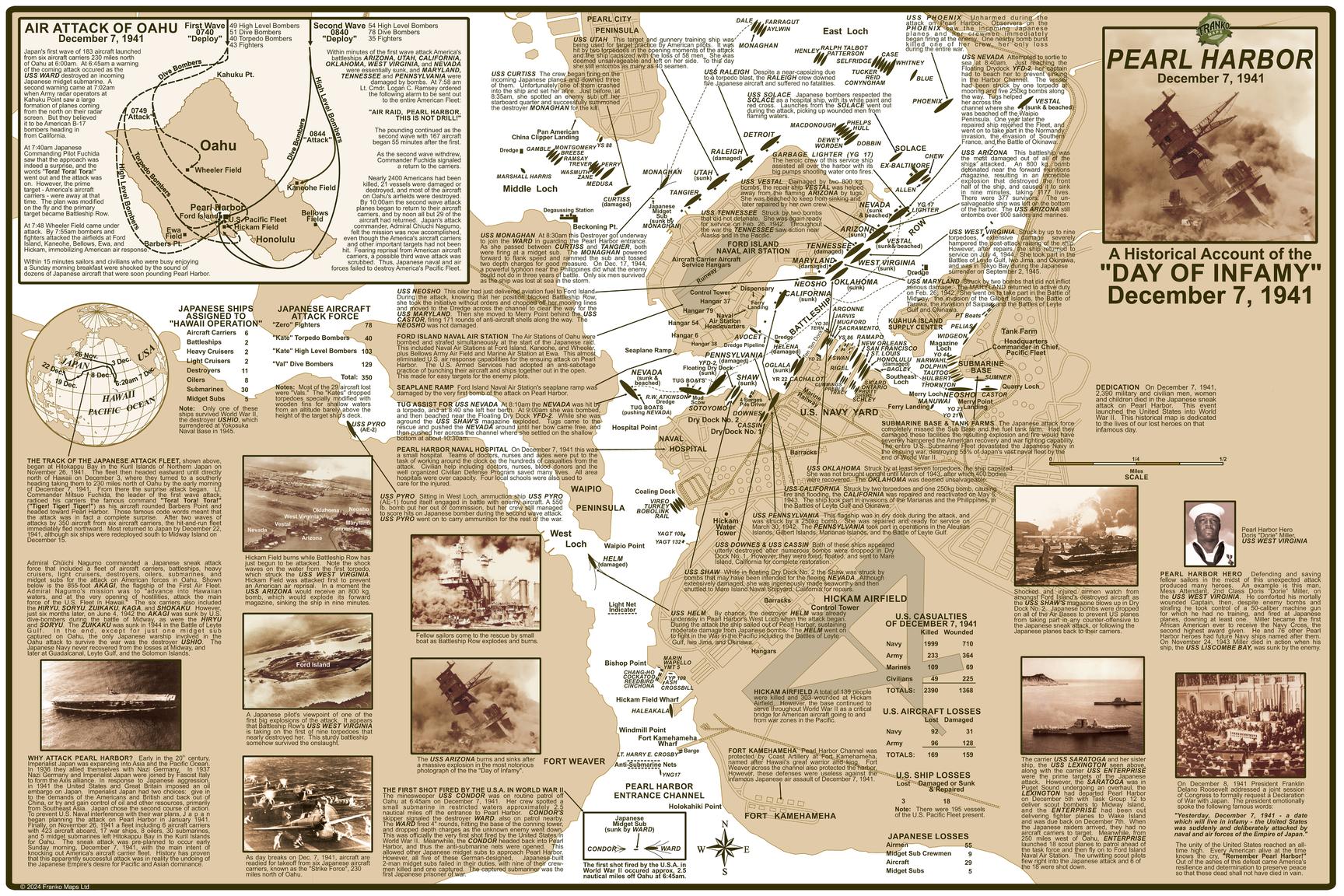
An incredibly detailed map and illustrated guide to of the events on December 7, 1941. Locates and describes all U.S. ships and assets. Inset map of the air attack. Comprehensive text with photos.
Page Size: 36 x 24 in (914 x 610 mm)
Buy this map on MapTrove.ca

bottom of page


