


MapSherpa Catalog

Origins of the People, 1901, Eastern Canada (1906)
Natural Resources Canada
Contained within the 1st Edition (1906) of the Atlas of Canada is a plate that shows two maps. The first map that shows origins of the people in Maritime provinces and Eastern Quebec, circa 1901. The second map that shows origins of the people in Quebec and Ontario, circa 1901.A varying number of ethnic groups are shown, but mainly: English, Scotch [Scottish], Irish, French and German. People of British origin predominate all provinces, except Quebec, where the French predominated. The French also predominate in adjacent portions of Quebec, such as portions of eastern Ontario, northern New Brunswick, southwestern Nova Scotia, and in the southern portion of Cape Breton. In two small areas near Halifax, N.S., the map indicates descendants of deported persons from Jamaica. The Germans were principally descendants of United Empire Loyalists predominating portions of southern Nova Scotia, Waterlook, Lincoln and Welland counties.
Page Size: 17.25 x 24.25 in (433 x 611 mm)

Origins of the People, 1901, Western Canada (1906)
Natural Resources Canada
Contained within the 1st Edition (1906) of the Atlas of Canada is a plate map that shows 2 maps. The first map shows the origins of the people in British Columbia and Alberta, circa 1901. The second map shows the origins of the people in Manitoba and Saskatchewan. A varying number of ethnic groups are shown, but always included are: English, Scotch [Scottish], Irish, French and German. People of British origin predominate in all provinces, except Quebec, where the French predominate. Germans, principally descendants of United Empire Loyalists, predominate in portions of Alberta, displaying a cosmopolitan population due to immigration from Great Britain and Europe. Communities with a population greater than 5000 people are shown as proportional dots on the map. In addition, major railway systems displayed. The map displays the rectangular survey system which records the land that is available to the public.
Page Size: 17.25 x 24.25 in (433 x 611 mm)
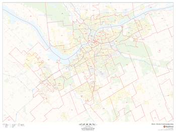
Ottawa - Gatineau Postal Code Forward Sortation Areas
MapSherpa
This map of the urban core of Ottawa-Gatineau shows postal code forward sortation areas overlaid on a road map. Ideal for planning of deliveries, home services, sales territories, real estate and much more. Base map features include all roads with major roads and highways labelled; neighbourhood names; railways; and high level land use such as parks and recreation areas, industrial areas and hospital campuses.
Page Size: 48 x 36 in (1219 x 914 mm)
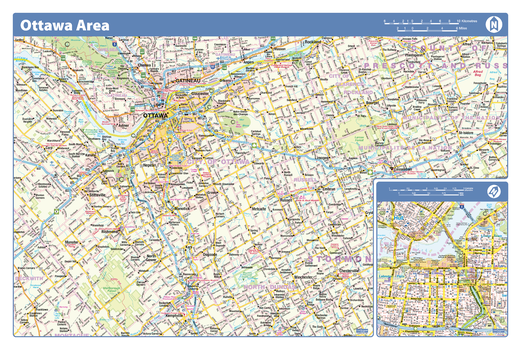
Ottawa Area - Compact
Lucidmap
Map of the Ottawa area showing major roads, major road names, political boundaries, major points of interest, parks, public buildings and landmarks.
Page Size: 21.5 x 14.25 in (546 x 362 mm)
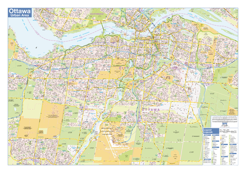
Ottawa Downtown
Lucidmap
Map of downtown Ottawa showing all roads, road names, political boundaries, transit, points of interest, parks, schools, churches, public buildings and landmarks.
Page Size: 40 x 28 in (1016 x 711 mm)
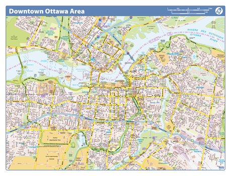
Ottawa Downtown - Compact
Lucidmap
Map of downtown Ottawa showing all roads, road names, political boundaries, transit, points of interest, parks, schools, churches, public buildings and landmarks.
Page Size: 21.5 x 16.25 in (546 x 413 mm)
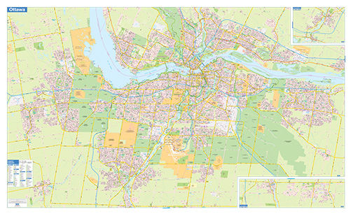
Ottawa-Gatineau Wall Map - Street Detail - Extra Large
Lucidmap
This wall map of the Ottawa-Gatineau Area shows highly detailed local information of the city of Ottawa, city of Gatineau and the surrounding areas. Full street labeling along with transit information, parks, schools, churches and landmarks throughout the city are displayed.
The map has been designed in a very clear and legible manner with a traditional Canadian street map style embraced by map buyers over many years.
Page Size: 79 x 48 in (2007 x 1219 mm)
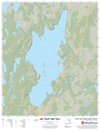
Otter Lake, Rideau Lakes, Ontario
MapSherpa
A cartographically beautiful map of Otter Lake, Rideau Lakes, Ontario ideal for showing off cottages, resorts, lakes and other favourite places.
Page Size: 17 x 22 in (432 x 559 mm)
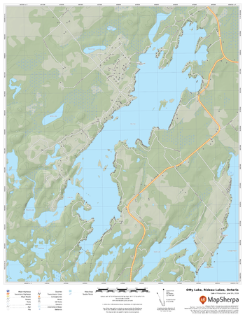
Otty Lake, Rideau Lakes, Ontario
MapSherpa
A cartographically beautiful map of Otty Lake, Rideau Lakes, Ontario ideal for showing off cottages, resorts, lakes and other favourite places.
Page Size: 17 x 22 in (432 x 559 mm)

Otways East: Surfcoast, Victoria Topographic Map
Spatial Vision
Outdoor Recreation Guide of Otways East and Surf Coast region in Victoria for Bushwalking, mountain biking, trail bike riding, car touring, four wheel driving, water sports
Page Size: 37.25 x 29.75 in (945 x 750 mm)

Otways West: Shipwreck Coast, Victoria Topographic Map
Spatial Vision
Outdoor Recreation Guide of Otways West region in Victoria for Bushwalking, mountain biking, trail bike riding, car touring, four wheel driving, water sports
Page Size: 37.25 x 29.75 in (945 x 750 mm)
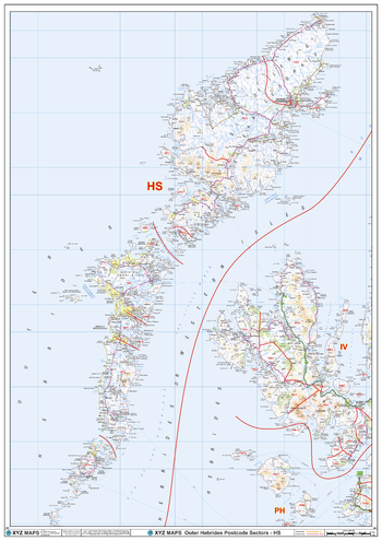
Outer Hebrides - HS - Postcode Wall Map
XYZ Maps
The Outer Hebrides Postcode Sector Wall Map shows detailed postcode sector boundaries (HS1 1, HS1 2) on a comprehensive background and is perfect for determining postcode boundaries for sales areas, planning mailshots and also an excellent reference for logistics. This wall map covers the whole of the HS Postcode Area.
Page Size: 33.25 x 47 in (841 x 1189 mm)
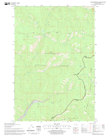
Overwhich Falls Quadrangle, Idaho
United States Forest Service
United States Department of Agriculture Forestry Service topographical map of Overwhich Falls, Salmon-Chalis National Forest, Idaho.
Page Size: 21.75 x 27 in (552 x 686 mm)
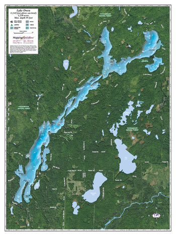
Owen Lake
Mapping Specialists
An Attractive map of the lake showing a visual 3D representation of the lake bottom. Includes boat launches, rock area and vegetation. Land area is high resolution aerial imagery.
Page Size: 27.75 x 37.25 in (705 x 943 mm)
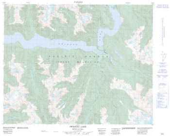
Owikeno Lake - 92 M/10 - British Columbia
Natural Resources Canada
Canadian topographic map of Owikeno Lake, British Columbia. NTS sheet 092M10 Edition 2.
Page Size: 31.25 x 25 in (791 x 633 mm)
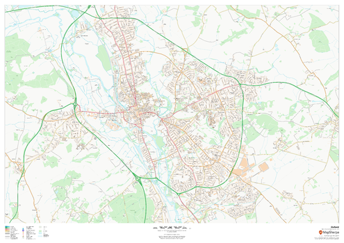
Oxford
MapSherpa
This map of Oxford shows detailed street level information including extensive street labelling. Ideal for planning of deliveries, home services, sales territories, real estate and much more.
Page Size: 47 x 33.25 in (1189 x 841 mm)
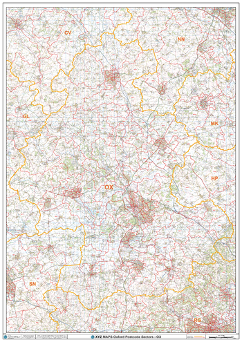
Oxford - OX - Postcode Wall Map
XYZ Maps
The Oxford Postcode Sector Wall Map shows detailed postcode sector boundaries (OX1 1, OX1 2) on a comprehensive background and is perfect for determining postcode boundaries for sales areas, planning mailshots and also an excellent reference for logistics. This wall map covers the whole of the OX Postcode Area.
Page Size: 33.25 x 47 in (841 x 1189 mm)
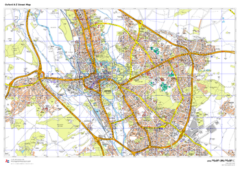
Oxford A-Z Street Map
A-Z Maps
This up-to-date A-Z street map includes 1,600 streets in and around Oxford. As well as the University of Oxford colleges, the other areas covered are Jericho, Cowley, Botley, Carfax, St Giles, Headington, Marston and University Parks.
Page Size: 33.25 x 23.5 in (841 x 594 mm)
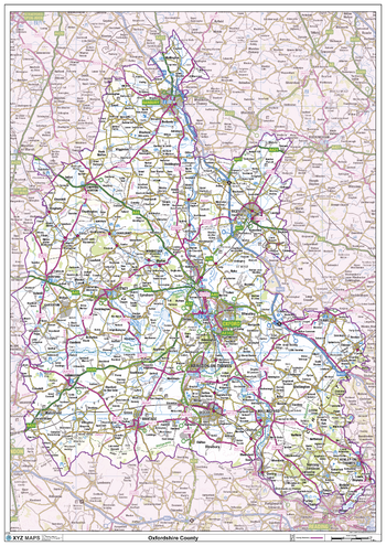
Oxfordshire County Map
XYZ Maps
This is a large ceremonial county map of Oxfordshire highlighting the county border, with the surrounding area faded out for excellent contrast. The map covers Bicester, Burford, Caversham, Chipping Norton, Dorchester, Goring-on-Thames, Henley-on-Thames, Oxford, Thame, Witney and Woodstock. The county map shows the latest County and Unitary Authority Boundaries, Overlaid on a Clear and Easy to Read Ordnance Survey map.
Page Size: 33.25 x 47 in (841 x 1189 mm)
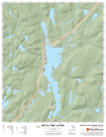
Oxtongue Lake, Muskoka, Ontario
MapSherpa
A cartographically beautiful map of Oxtongue Lake, Muskoka, Ontario ideal for showing off cottages, resorts, lakes and other favourite places.
Page Size: 17 x 22 in (432 x 559 mm)
No search results