


MapSherpa Catalog
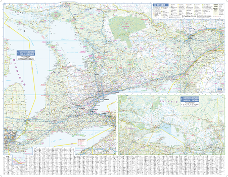
Ontario Wall Map - South Portion with Northern Ontario Inset
Lucidmap
This wall map has been designed to show details of the populated areas of Ontario including all highways, cities and towns, major parks, political boundaries, and points of interest.
The map has been designed with a traditional Canadian style embraced by map buyers over many years.
Page Size: 39.5 x 30.5 in (1003 x 775 mm)
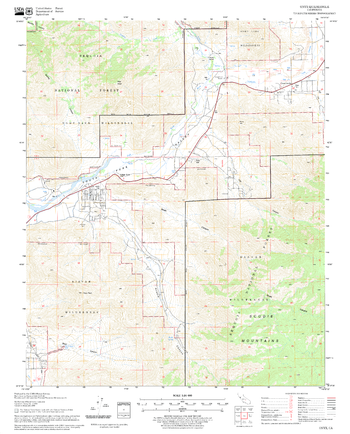
Onyx Quadrangle, California
United States Forest Service
United States Department of Agriculture Forestry Service topographical map of Onyx, Sequoia National Forest, California.
Page Size: 21.75 x 27 in (552 x 686 mm)
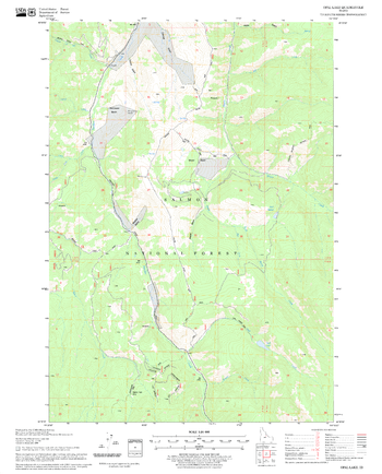
Opal Lake Quadrangle, Idaho
United States Forest Service
United States Department of Agriculture Forestry Service topographical map of Opal Lake, Salmon-Chalis National Forest, Idaho.
Page Size: 21.75 x 27 in (552 x 686 mm)
Operational Navigation Charts
MapSherpa
Published by the United States government in the 1980s and 1990s, Operational Navigation Charts are topographic maps with aeronautical information overlain. The maps show cities, main roads, important landscape features, railway lines, forests and waters. Relief is illustrated by highlights, contour lines (distances in feet ) and shading. Coverage includes the Mediterranean, Africa, the Middle East, across the Himalayas to Japan. Individual map sheets have been combined into a seamless layer. Suitable for print maps between 1:500,000 and 1:1,500,000.
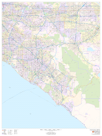
Orange County, California
MapSherpa
This map of Orange County, California shows regional level information. Base map features include highways and major roads with labelling; railways; high level land use such as parks and recreation areas; and a selection of points of interest including transportation hubs like airports and train stations, tourist information and police stations. ZIP code boundaries are shown as a secondary map feature.
Page Size: 36 x 48 in (914 x 1219 mm)
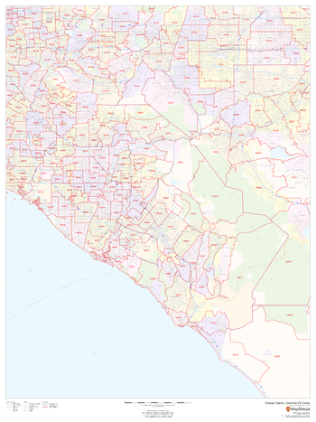
Orange County, California ZIP Codes
MapSherpa
This map of Orange County, California shows ZIP code areas overlaid on a road map. Ideal for planning of deliveries, home services, sales territories, real estate and much more. Base map features include all roads with major roads and highways labelled; neighborhood names; railways; and high level land use such as parks and recreation areas, industrial areas and hospital campuses.
Page Size: 36 x 48 in (914 x 1219 mm)
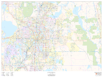
Orange County, Florida
MapSherpa
This map of Orange County, Florida shows regional level information. Base map features include highways and major roads with labelling; neighborhood names; railways; high level land use such as parks and recreation areas, industrial areas and hospital campuses; and a selection of points of interest including transportation hubs like airports and train stations, tourist information, police stations and shopping centres. ZIP code boundaries are shown as a secondary map feature.
Page Size: 48 x 36 in (1219 x 914 mm)
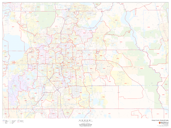
Orange County, Florida ZIP Codes
MapSherpa
This map of Orange County, Florida shows ZIP code areas overlaid on a road map. Ideal for planning of deliveries, home services, sales territories, real estate and much more. Base map features include all roads with major roads and highways labelled; neighborhood names; railways; and high level land use such as parks and recreation areas, industrial areas and hospital campuses.
Page Size: 48 x 36 in (1219 x 914 mm)
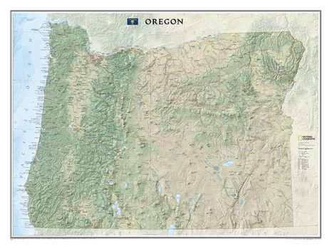
Oregon
National Geographic
National Geographic's wall map of Oregon brings the rich and diverse topography of the state to life in elegant detail. Mountain ranges, prominent peaks, major lakes, rivers, and reservoirs, and other geographic features are highlighted. In addition to hundreds of place names, this map includes the precise locations of cities, major roadways and railways, airports, and national and state parks. Stunning shaded relief and vibrant colorization distinguishes mountain ranges, forests, deserts, valleys, and other physical topography. The Pacific Crest Trail, a long-distance hiking and equestrian trail to runs through the entire state from the border with California into Washington, is shown as well. This striking map would be an attractive addition to any study or office.
Page Size: 40.5 x 30.25 in (1029 x 768 mm)
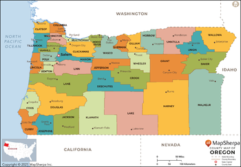
Oregon Counties Map - Extra Large
MapSherpa
This map has been created exclusively for MapSherpa, and designed for reference or business use. Clear and clean colors & fonts matched with cartographic research makes this map of Oregon Counties Map easily readable and useful. The map shows the 36 counties of Oregon and their borders across the Beaver State.
Page Size: 60 x 41.75 in (1524 x 1060 mm)
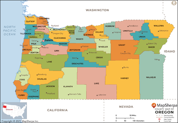
Oregon Counties Map - Large
MapSherpa
This map has been created exclusively for MapSherpa, and designed for reference or business use. Clear and clean colors & fonts matched with cartographic research makes this map of Oregon Counties Map easily readable and useful. The map shows the 36 counties of Oregon and their borders across the Beaver State.
Page Size: 48 x 33.5 in (1219 x 848 mm)
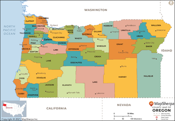
Oregon Counties Map - Standard
MapSherpa
This map has been created exclusively for MapSherpa, and designed for reference or business use. Clear and clean colors & fonts matched with cartographic research makes this map of Oregon Counties Map easily readable and useful. The map shows the 36 counties of Oregon and their borders across the Beaver State.
Page Size: 36 x 25.25 in (914 x 636 mm)
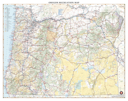
Oregon Recreation Wall Map
Benchmark Maps
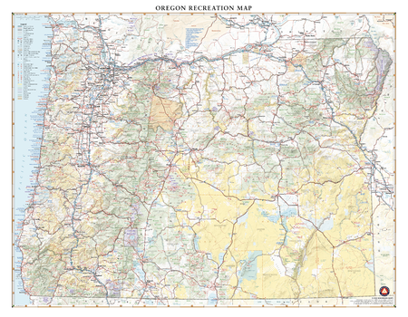
With its rugged but peaceful Pacific Coast and inland features like Crater Lake and myriad mountain peaks and hidden waterfalls, Oregon is a favorite destination for travelers across the American West. This wall map illustrates the public lands and recreation hotspots across The Beaver State.
Page Size: 35.75 x 28 in (903 x 711 mm)
Oregon Recreation Wall Map – 26 inch
Benchmark Maps
With its rugged but peaceful Pacific Coast and inland features like Crater Lake and myriad mountain peaks and hidden waterfalls, Oregon is a favorite destination for travelers across the American West. This wall map illustrates the public lands and recreation hotspots across The Beaver State.
Page Size: 33.5 x 26 in (849 x 660 mm)

Oregon State Wall Map
Globe Turner
This colorful, easy-to-read state map of Oregon identifies all major thoroughfares, secondary roads, freeway interchanges, rest areas, distance markers, landmarks, recreational areas, and more. Shaded relief on the state map provides a three-dimensional sense of Oregon’s topography. Detailed city inset maps of Eugene, Portland, and Salem are based on the latest street information from our cartographic experts. An up-to-date inset of Crater Lake National Park provides must-see information on this tourist area. County and city indices make it simple to locate even the smallest town. City type sizes reflect the 2020 U.S. Census.
Page Size: 20.75 x 18.5 in (524 x 467 mm)
Oregon ZIP Code Map
MapSherpa
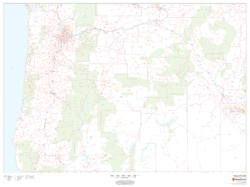
This map of Oregon shows ZIP codes overlaid on a road map. Base map features include county boundaries, major road network features, and state and national parks and conservation areas.
Page Size: 48 x 36 in (1219 x 914 mm)
Oregon ZIP Code Map with Counties - Extra Large
MapSherpa
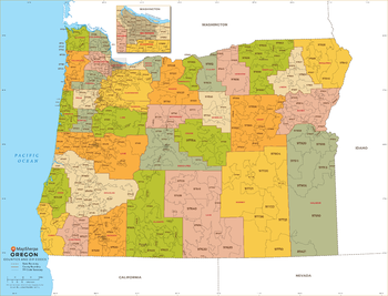
This map has been created exclusively for MapSherpa, and designed for business or reference use. Clear and clean colors & fonts matched with cartographic research makes this Oregon Zip Code Map with Counties easily readable and useful. The map shows the 36 counties of Oregon and the borders of the over 400 zip codes across the Beaver State.
Page Size: 60 x 46 in (1524 x 1164 mm)
Oregon ZIP Code Map with Counties - Large
MapSherpa
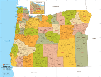
This map has been created exclusively for MapSherpa, and designed for business or reference use. Clear and clean colors & fonts matched with cartographic research makes this Oregon Zip Code Map with Counties easily readable and useful. The map shows the 36 counties of Oregon and the borders of the over 400 zip codes across the Beaver State.
Page Size: 48 x 36.75 in (1219 x 931 mm)
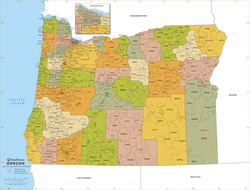
Oregon ZIP Code Map with Counties - Standard
MapSherpa
This map has been created exclusively for MapSherpa, and designed for business or reference use. Clear and clean colors & fonts matched with cartographic research makes this Oregon Zip Code Map with Counties easily readable and useful. The map shows the 36 counties of Oregon and the borders of the over 400 zip codes across the Beaver State.
Page Size: 36 x 27.5 in (914 x 698 mm)
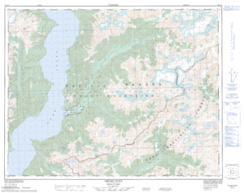
Orford River - 92 K/10 - British Columbia
Natural Resources Canada
Canadian topographic map of Orford River, British Columbia. NTS sheet 092K10 Edition 1.
Page Size: 32.5 x 25.75 in (821 x 648 mm)
No search results