


MapSherpa Catalog
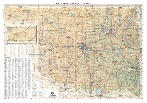
Oklahoma Recreation Wall Map – 26 inch
Benchmark Maps
Oklahoma lies where the sweeping prairies of the Great Plains meet the western shoulder of the Ozark Mountains. This wall map illustrates The Sooner State’s array of country roads and recreation opportunities.
Page Size: 37.25 x 26 in (943 x 660 mm)
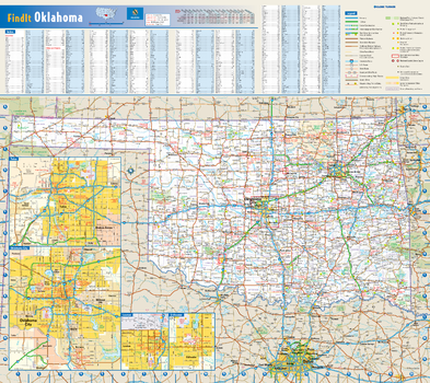
Oklahoma State Wall Map
Globe Turner
This colorful, easy-to-read state map of Oklahoma identifies all major thoroughfares, secondary roads, freeway interchanges, rest areas, distance markers, landmarks, recreational areas, and more. Shaded relief on the state map provides a three-dimensional sense of Oklahoma's topography. Detailed inset maps of Lawton, Oklahoma City, Stillwater, and Tulsa are based on the latest street information from our cartographic experts. County and city indices make it simple to locate even the smallest town.
Page Size: 20.75 x 18.5 in (524 x 467 mm)
Oklahoma ZIP Code Map
MapSherpa
This map of Oklahoma shows ZIP codes overlaid on a road map. Base map features include county boundaries, major road network features, and state and national parks and conservation areas.
Page Size: 48 x 36 in (1219 x 914 mm)
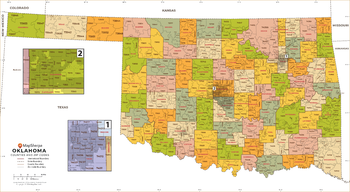
Oklahoma ZIP Code Map with Counties - Extra Large
MapSherpa
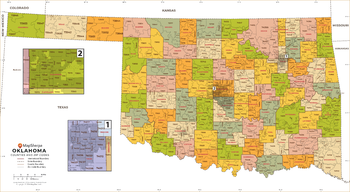
This map has been created exclusively for MapSherpa, and designed for business or reference use. Clear and clean colors & fonts matched with cartographic research makes this map of Oklahoma's counties and ZIP codes easily readable and useful.
Page Size: 60 x 33 in (1524 x 837 mm)
Oklahoma ZIP Code Map with Counties - Large
MapSherpa
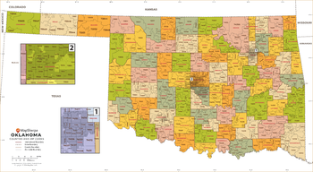
This map has been created exclusively for MapSherpa, and designed for business or reference use. Clear and clean colors & fonts matched with cartographic research makes this map of Oklahoma's counties and ZIP codes easily readable and useful.
Page Size: 48 x 26.5 in (1219 x 670 mm)
Oklahoma ZIP Code Map with Counties - Standard
MapSherpa
This map has been created exclusively for MapSherpa, and designed for business or reference use. Clear and clean colors & fonts matched with cartographic research makes this map of Oklahoma's counties and ZIP codes easily readable and useful.
Page Size: 36 x 20 in (914 x 502 mm)
Old Baldy Mountain Quadrangle, South Dakota
United States Forest Service
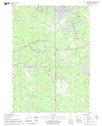
United States Department of Agriculture Forestry Service topographical map of Old Baldy Mountain, Black Hills National Forest, South Dakota.
Page Size: 21.75 x 27 in (552 x 686 mm)
Old Station Quadrangle, California
United States Forest Service
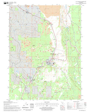
United States Department of Agriculture Forestry Service topographical map of Old Station, Lassen National Forest, California.
Page Size: 21.75 x 27 in (552 x 686 mm)
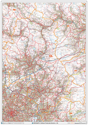
Oldham - OL - Postcode Wall Map
XYZ Maps
The Oldham Postcode Sector Wall Map shows detailed postcode sector boundaries (OL1 1, OL1 2) on a comprehensive background and is perfect for determining postcode boundaries for sales areas, planning mailshots and also an excellent reference for logistics. This wall map covers the whole of the OL Postcode Area.
Page Size: 33.25 x 47 in (841 x 1189 mm)
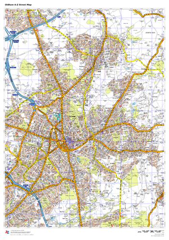
Oldham A-Z Street Map
A-Z Maps
This up-to-date A-Z street map covers Oldham, including the town centre together with the surrounding districts of Chadderton, Failsworth, Lees, Royton, Shaw, Springhead.
Page Size: 23.5 x 33.25 in (594 x 841 mm)
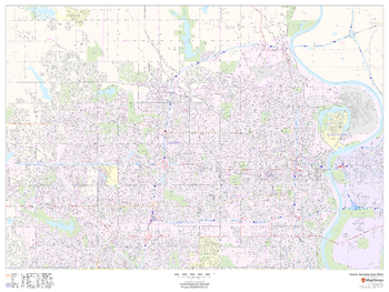
Omaha, Nebraska Inner Metro - Landscape
MapSherpa
This landscape-oriented map of central Omaha, Nebraska shows detailed street level information including extensive street labeling. Ideal for planning of deliveries, home services, sales territories, real estate and much more. Base map features include all roads with major roads and highways labelled; neighborhood names; railways; high level land use such as parks and recreation areas, industrial areas and hospital campuses; and a variety of points of interest including schools, libraries, stadiums, museums, border crossings and more.
Page Size: 48 x 36 in (1219 x 914 mm)
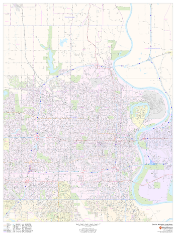
Omaha, Nebraska Inner Metro - Portrait
MapSherpa
This portrait-oriented map of central Omaha, Nebraska shows detailed street level information including extensive street labeling. Ideal for planning of deliveries, home services, sales territories, real estate and much more. Base map features include all roads with major roads and highways labelled; neighborhood names; railways; high level land use such as parks and recreation areas, industrial areas and hospital campuses; and a variety of points of interest including schools, libraries, stadiums, museums, border crossings and more.
Page Size: 36 x 48 in (914 x 1219 mm)
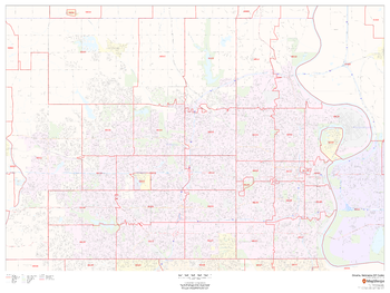
Omaha, Nebraska ZIP Codes
MapSherpa
This map of Omaha, Nebraska shows ZIP code areas overlaid on a road map. Ideal for planning of deliveries, home services, sales territories, real estate and much more. Base map features include all roads with major roads and highways labelled; neighborhood names; railways; and high level land use such as parks and recreation areas, industrial areas and hospital campuses.
Page Size: 48 x 36 in (1219 x 914 mm)
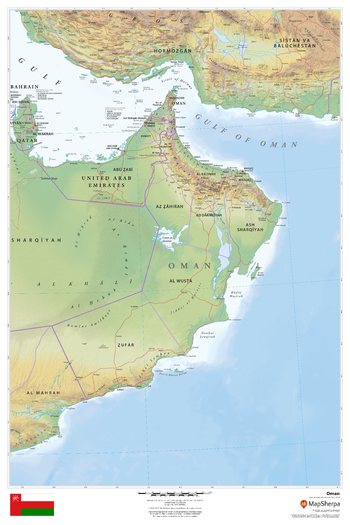
Oman
MapSherpa
This beautiful map shows physical and political features for Oman and surrounding areas. Relief shading and the use of different colours by height above sea level are both informative and attractive.
Page Size: 24 x 36 in (610 x 914 mm)
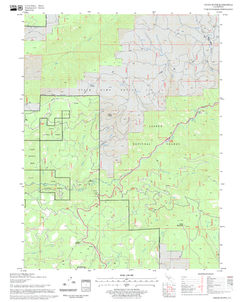
Onion Butte Quadrangle, California
United States Forest Service
United States Department of Agriculture Forestry Service topographical map of Onion Butte, Lassen National Forest, California.
Page Size: 21.75 x 27 in (552 x 686 mm)
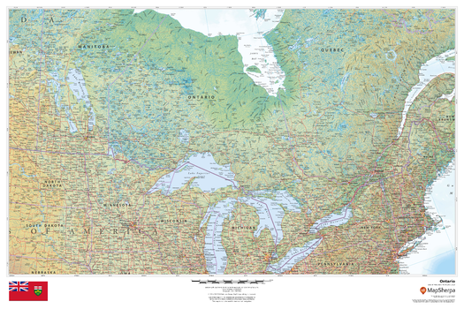
Ontario
MapSherpa
This beautiful map shows physical and political features for Ontario and surrounding areas. Relief shading and the use of different colours by height above sea level are both informative and attractive.
Page Size: 36 x 24 in (914 x 610 mm)
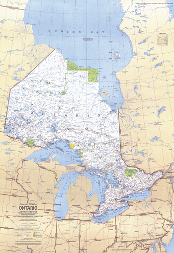
Ontario Canada - Published 1978
National Geographic
This travel map of the Canadian province of Ontario shows hundreds of national parks, wilderness areas and campgrounds. It also highlights points of interest in cities such as Toronto and Ottawa. Published in December 1978.
Page Size: 22.75 x 33 in (573 x 833 mm)
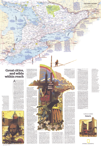
Ontario Great Cities Wilds Within Reach - Published 1978
National Geographic
Published in December 1978 as half of a two-map set showcasing Canada's richest and most industrialized province, the "Ontario: Great Cities, and Wilds Within Reach" map provides an abundance of information about this diverse and exciting province. Together, the two maps accompanied the article "Ontario, Canada's Keystone."
Page Size: 22.75 x 33 in (573 x 833 mm)
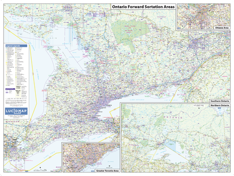
Ontario Postcode (FSAs) Wall Map - Large
Lucidmap
This Postcode Wall Map of Ontario shows forward sortation areas, political boundaries, place names, highways, major parks and conservation areas, and points of interest.
The map has been designed in a very clear and legible manner with a traditional Canadian street map style embraced by map buyers over many years.
Page Size: 50 x 37.5 in (1270 x 953 mm)
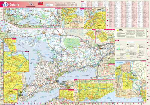
Ontario Wall Map
Globe Turner
This colorful, easy-to-read province map of Ontario identifies all major thoroughfares, secondary roads, freeway interchanges, rest areas, distance markers, landmarks, recreational areas, and more. Shaded relief on the province map provides a three-dimensional sense of Ontario's topography. Detailed city inset maps of Guelph, Hamilton, Kitchener / Waterloo / Cambridge, London, Niagara Region, North Bay, Ottawa / Gatineau, QC, Sault Ste. Marie, Sudbury, Toronto, and Windsor / Detroit, MI are based on the latest street information from our cartographic experts. The map also includes up-to-date insets of downtown Toronto, and Northern Ontario, as well as the latest border crossing information. A city index makes it simple to locate even the smallest town.
Page Size: 19.25 x 27.5 in (489 x 699 mm)
No search results