


MapSherpa Catalog
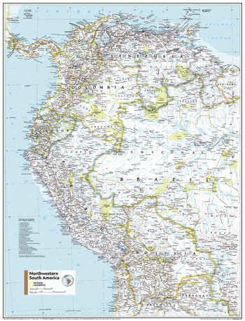
Northwestern South America - Atlas of the World, 11th Edition
National Geographic
This Northwestern South America map of physical and political features can fit in any space. Showcasing the region in stunning detail with state-of-the-art cartographic techniques delivering accuracy and exceptional quality, the innovative and engaging design makes the content easily accessible and user-friendly.
Ideal for classrooms with an emphasis on teaching geography or environmental themes. The inclusion of physical features gives your students a genuine feel for how our world appears.
This map uses a bright, easy to read color palette featuring blue oceans and stunning shaded relief that has been featured on National Geographic wall maps for over 75 years. Drawn in the Azimuthal Equidistant projection, this map ensures that all points on the map are at proportionally correct distances from the center point.
Names of geographic features are carefully placed on the map to maintain legibility. National parks pop off the page in vivid yellow.
This map is found in National Geographic's 11th Edition World Atlas and is now available as a stand alone product.
Page Size: 24 x 31.5 in (610 x 798 mm)
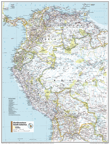
Northwestern South America - Atlas of the World, 11th Edition - Compact
National Geographic
This Northwestern South America map of physical and political features can fit in any space. Showcasing the region in stunning detail with state-of-the-art cartographic techniques delivering accuracy and exceptional quality, the innovative and engaging design makes the content easily accessible and user-friendly.
Ideal for classrooms with an emphasis on teaching geography or environmental themes. The inclusion of physical features gives your students a genuine feel for how our world appears.
This map uses a bright, easy to read color palette featuring blue oceans and stunning shaded relief that has been featured on National Geographic wall maps for over 75 years. Drawn in the Azimuthal Equidistant projection, this map ensures that all points on the map are at proportionally correct distances from the center point.
Names of geographic features are carefully placed on the map to maintain legibility. National parks pop off the page in vivid yellow.
This map is found in National Geographic's 11th Edition World Atlas and is now available as a stand alone product.
Page Size: 16.25 x 21.5 in (413 x 540 mm)
Northwestern U.S. - Atlas of the World, 10th Edition
National Geographic
Idaho, Montana, Oregon, Washington, Wyoming
Page Size: 28 x 22 in (711 x 559 mm)
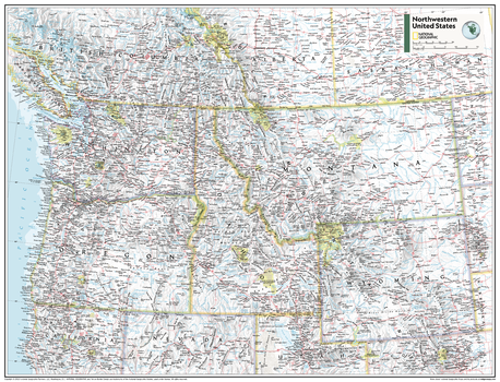
Northwestern U.S. - Atlas of the World, 11th Edition
National Geographic
This Northwestern USA map of physical and political features can fit in any space. Showcasing the region in stunning detail with state-of-the-art cartographic techniques delivering accuracy and exceptional quality, the innovative and engaging design makes the content easily accessible and user-friendly.
Ideal for classrooms with an emphasis on teaching geography or environmental themes. The inclusion of physical features give your students a genuine feel for how our world appears.
This map uses a bright, easy to read color palette featuring blue oceans and stunning shaded relief that has been featured on National Geographic wall maps for over 75 years. It is drawn in the Albers Conic Equal-Area projection, which uses two standard parallels between which distortion is minimized, however scale and shape are not preserved.
This map is found in National Geographic's 11th Edition World Atlas and is now available as a stand alone product.
Page Size: 31.5 x 24 in (798 x 610 mm)
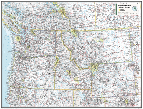
Northwestern U.S. - Atlas of the World, 11th Edition - Compact
National Geographic
This Northwestern USA map of physical and political features can fit in any space. Showcasing the region in stunning detail with state-of-the-art cartographic techniques delivering accuracy and exceptional quality, the innovative and engaging design makes the content easily accessible and user-friendly.
Ideal for classrooms with an emphasis on teaching geography or environmental themes. The inclusion of physical features give your students a genuine feel for how our world appears.
This map uses a bright, easy to read color palette featuring blue oceans and stunning shaded relief that has been featured on National Geographic wall maps for over 75 years. It is drawn in the Albers Conic Equal-Area projection, which uses two standard parallels between which distortion is minimized, however scale and shape are not preserved.
This map is found in National Geographic's 11th Edition World Atlas and is now available as a stand alone product.
Page Size: 21.5 x 16.25 in (540 x 413 mm)
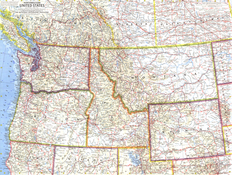
Northwestern United States - Published 1960
National Geographic
This map of the Northwestern United States features Washington, Oregon, Idaho, Montana, and Wyoming. Intercontinental ballistic missile bases make it evident that this map was printed during a particularly strained period of the Cold War. Published in April 1960, it is part of a series of six sectional maps of the United States published between 1958 and 1961.
Page Size: 25 x 19 in (634 x 478 mm)
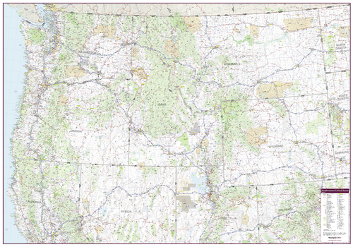
Northwestern United States Wall Map
Mapping Specialists
An attractive map of the Northwest United States showing roads, towns and points of interest.
Page Size: 60 x 42 in (1524 x 1067 mm)
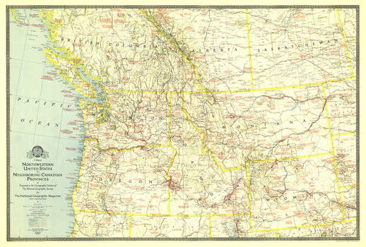
Northwestern United States and Canadian Provinces - Published 1941
National Geographic
The map of Northwestern United States and Neighboring Canadian Provinces appeared in National Geographic Magazine in June of 1941 and focused on the states of Washington, Oregon, Idaho, Montana, and Wyoming, and the southern portion of the provinces of British Columbia, Alberta, and Saskatchewan. It contains an abundance of notes on historical sites and places of interest as well as the routes of explorers.
Page Size: 36 x 24.25 in (912 x 616 mm)
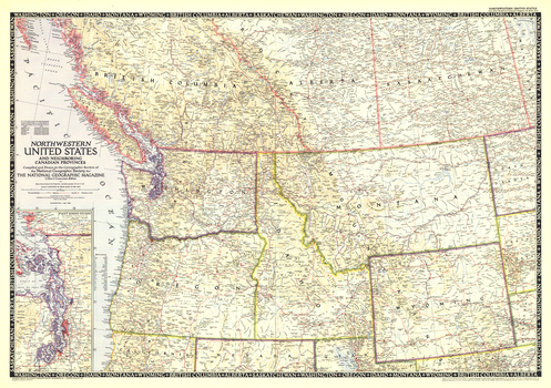
Northwestern United States and Canadian Provinces - Published 1950
National Geographic
The Northwestern United States and Neighboring Canadian Provinces map is the sixth in a series of sectional maps of the United States dated from 1945 to 1950. Published in June 1950, it provides a thorough look at the states of Washington, Oregon, Idaho, Montana, and Wyoming, as well as the southern portions of British Columbia, Alberta, and Saskatchewan.
Page Size: 36.25 x 25.5 in (918 x 646 mm)
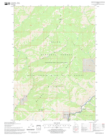
Norton Ridge Quadrangle, Idaho
United States Forest Service
United States Department of Agriculture Forestry Service topographical map of Norton Ridge, Salmon-Chalis National Forest, Idaho.
Page Size: 21.75 x 27 in (552 x 686 mm)
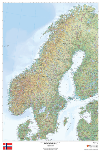
Norway
MapSherpa
This beautiful map shows physical and political features for Norway and surrounding areas. Relief shading and the use of different colours by height above sea level are both informative and attractive.
Page Size: 24 x 36 in (610 x 914 mm)
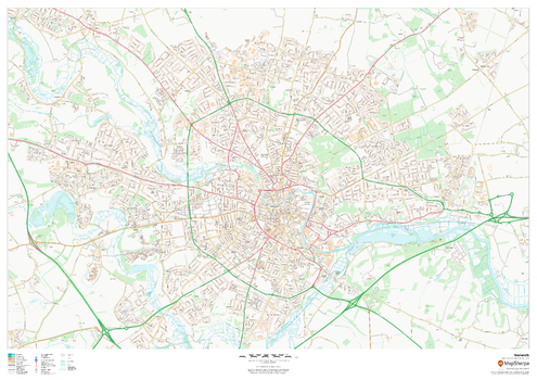
Norwich
MapSherpa
This map of Norwich shows detailed street level information including extensive street labelling. Ideal for planning of deliveries, home services, sales territories, real estate and much more.
Page Size: 47 x 33.25 in (1189 x 841 mm)
Norwich - NR - Postcode Wall Map
XYZ Maps
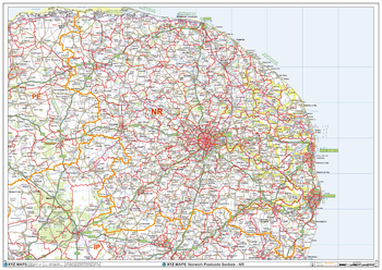
The Norwich Postcode Sector Wall Map shows detailed postcode sector boundaries (NR1 1, NR1 2) on a comprehensive background and is perfect for determining postcode boundaries for sales areas, planning mailshots and also an excellent reference for logistics. This wall map covers the whole of the NR Postcode Area.
Page Size: 47 x 33.25 in (1189 x 841 mm)
Norwich A-Z Street Map
A-Z Maps
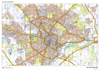
This up-to-date A-Z street map includes more than 2,000 streets in and around Norwich. As well as the Norwich Cathedral and central Norwich, the other areas covered include Cringleford, Lakenham, Whitlingham Country Park, Thorpe St Andrew, New and Old Catton, Spowston and Hellesdon.
Page Size: 33.25 x 23.5 in (841 x 594 mm)
Nottingham
MapSherpa
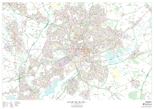
This map of Nottingham shows detailed street level information including extensive street labelling. Ideal for planning of deliveries, home services, sales territories, real estate and much more.
Page Size: 47 x 33.25 in (1189 x 841 mm)
Nottingham - NG - Postcode Wall Map
XYZ Maps
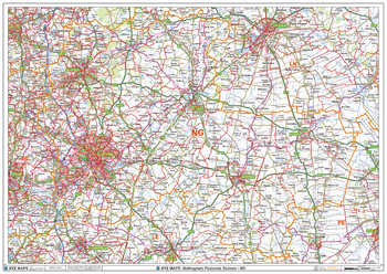
The Nottingham Postcode Sector Wall Map shows detailed postcode sector boundaries (NG1 1, NG1 2) on a comprehensive background and is perfect for determining postcode boundaries for sales areas, planning mailshots and also an excellent reference for logistics. This wall map covers the whole of the NG Postcode Area.
Page Size: 47 x 33.25 in (1189 x 841 mm)
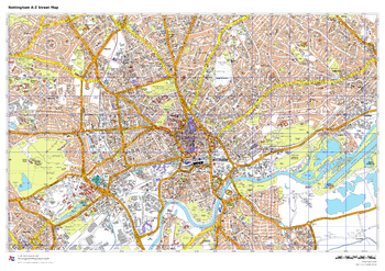
Nottingham A-Z Street Map
A-Z Maps
This up-to-date A-Z street map covers Nottingham and the immediate suburbs, showing the city centre with Old Market Square and Nottingham Castle. Other areas included: Carrington, Sherwood, Baker Fields, Radford and The Meadows. Includes transport symbols, car parks and points of interest.
Page Size: 33.25 x 23.5 in (841 x 594 mm)
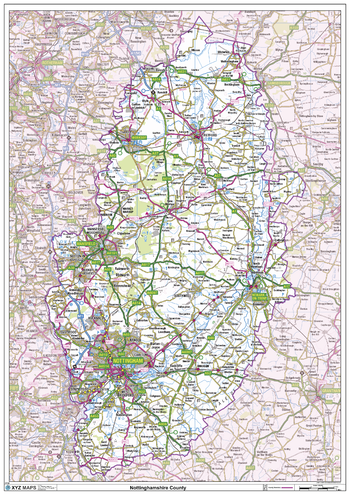
Nottinghamshire County Map
XYZ Maps
This is a large ceremonial county map of Nottinghamshire highlighting the county border, with the surrounding area faded out for excellent contrast. The map covers Beeston, Blidworth, Eastwood, Edwinstone, Mansfield, Newark on Trent, Nottingham, Retford, Southwell and Worksop. The county map shows the latest County and Unitary Authority Boundaries, Overlaid on a Clear and Easy to Read Ordnance Survey map.
Page Size: 33.25 x 47 in (841 x 1189 mm)
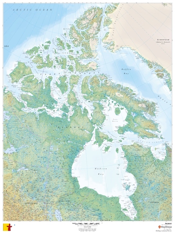
Nunavut
MapSherpa
This beautiful map shows physical and political features for Nunavut and surrounding areas. Relief shading and the use of different colours by height above sea level are both informative and attractive.
Page Size: 36 x 48 in (914 x 1219 mm)
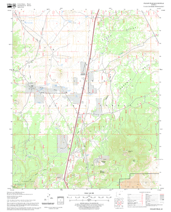
O'Leary Peak Quadrangle, Arizona
United States Forest Service
United States Department of Agriculture Forestry Service topographical map of O'Leary Peak, Coconino National Forest, Arizona.
Page Size: 21.75 x 27 in (552 x 686 mm)
No search results