


MapSherpa Catalog
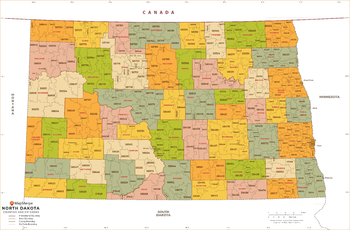
North Dakota ZIP Code Map with Counties - Extra Large
MapSherpa
This map has been created exclusively for MapSherpa, and designed for business or reference use. Clear and clean colors & fonts matched with cartographic research makes this map of North Dakota's counties and ZIP codes easily readable and useful.
Page Size: 60 x 39.5 in (1524 x 1000 mm)
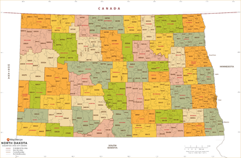
North Dakota ZIP Code Map with Counties - Large
MapSherpa
This map has been created exclusively for MapSherpa, and designed for business or reference use. Clear and clean colors & fonts matched with cartographic research makes this map of North Dakota's counties and ZIP codes easily readable and useful.
Page Size: 48 x 31.75 in (1219 x 800 mm)
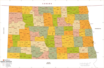
North Dakota ZIP Code Map with Counties - Standard
MapSherpa
This map has been created exclusively for MapSherpa, and designed for business or reference use. Clear and clean colors & fonts matched with cartographic research makes this map of North Dakota's counties and ZIP codes easily readable and useful.
Page Size: 36 x 23.75 in (914 x 600 mm)
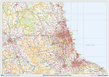
North East England Postcode Sector Wall Map (S16)
XYZ Maps
The North East England Postcode Sector Wall Map shows detailed postcode sector boundaries along with its associated label (NE1 1, NE1 2) on a comprehensive background and is perfect for determining postcode boundaries, for sales, logistics, planning mailshots or as a regional reference guide.
Page Size: 47 x 33.25 in (1189 x 841 mm)
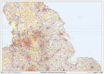
North England Postcode District Wall Map (D4)
XYZ Maps
This North England Postcode District Map clearly shows postcode district boundaries and associated district labels (LS1, LS2) on a comprehensive background and is perfect for determining postcode boundaries for sales territories, logistics, planning mailshots or as a regional reference guide.
Page Size: 47 x 33.25 in (1189 x 841 mm)
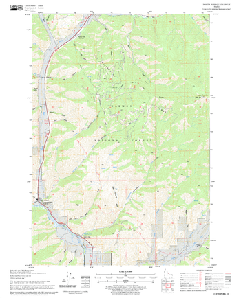
North Fork Quadrangle, Idaho
United States Forest Service
United States Department of Agriculture Forestry Service topographical map of North Fork, Salmon-Chalis National Forest, Idaho.
Page Size: 21.75 x 27 in (552 x 686 mm)
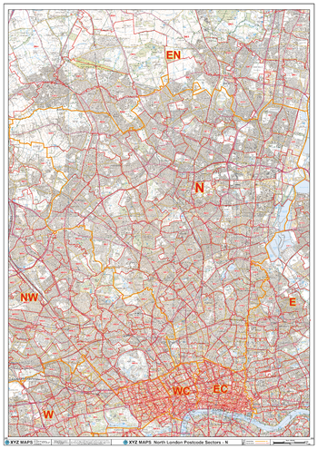
North London - N - Postcode Wall Map
XYZ Maps
The North London Postcode Sector Wall Map shows detailed postcode sector boundaries (N1 1, N1 2) on a comprehensive background and is perfect for determining postcode boundaries for sales areas, planning mailshots and also an excellent reference for logistics. This wall map covers the whole of the N Postcode Area.
Page Size: 33.25 x 47 in (841 x 1189 mm)
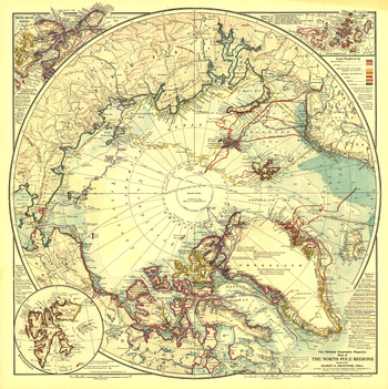
North Pole Regions - Published 1907
National Geographic
A true work of art, this map of the North Pole regions is as beautiful as it is fascinating. Published with five articles on the Arctic including "Arctic Expeditions Commanded by Americans," this one of a kind map is loaded with information about Arctic exploration and is perfect for framing.
Page Size: 19 x 19 in (477 x 479 mm)
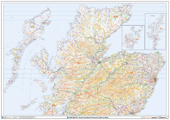
North Scotland Postcode District Wall Map (D6)
XYZ Maps
The North Scotland Postcode District Map clearly shows postcode district boundaries and associated district labels (AB1, AB2) on a comprehensive background and is perfect for determining postcode boundaries for sales territories, logistics, planning mailshots or as a regional reference guide.
Page Size: 47 x 33.25 in (1189 x 841 mm)
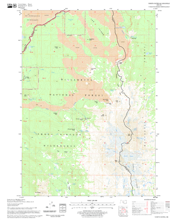
North Sister Quadrangle, Oregon
United States Forest Service
United States Department of Agriculture Forestry Service topographical map of North Sister, Deschutes National Forest, Oregon.
Page Size: 21.75 x 27 in (552 x 686 mm)
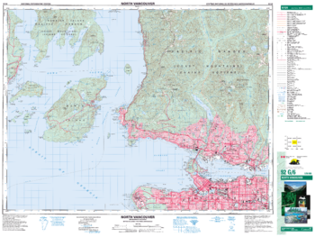
North Vancouver - 92 G/6 - British Columbia
Natural Resources Canada
Canadian topographic map of North Vancouver, British Columbia. NTS sheet 092G06 Edition 6.
Page Size: 34.75 x 26 in (876 x 659 mm)
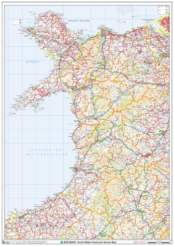
North Wales Postcode Sector Wall Map (S9)
XYZ Maps
The North Wales Postcode Sector Wall Map shows detailed postcode sector boundaries along with its associated label (LL1 1, LL1 2) on a comprehensive background and is perfect for determining postcode boundaries, for sales, logistics, planning mailshots or as a regional reference guide.
Page Size: 33.25 x 47 in (841 x 1189 mm)
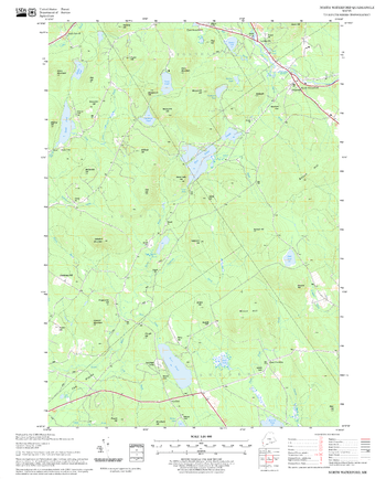
North Waterford Quadrangle, New Hampshire-Vermont
United States Forest Service
United States Forestry Service topographical map of North Waterford, New Hampshire-Vermont
Page Size: 21.75 x 27 in (552 x 686 mm)
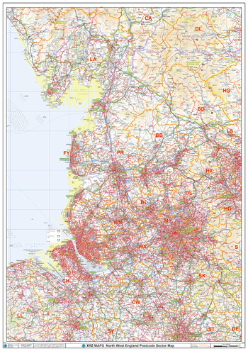
North West England Postcode Sector Wall Map (S12)
XYZ Maps
The North West England Postcode Sector Wall Map shows detailed postcode sector boundaries along with its associated label (M1 1, M1 2) on a comprehensive background and is perfect for determining postcode boundaries, for sales, logistics, planning mailshots or as a regional reference guide.
Page Size: 33.25 x 47 in (841 x 1189 mm)
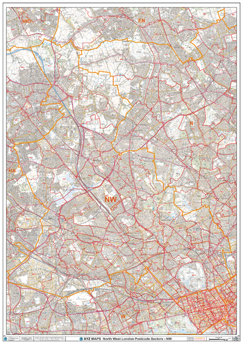
North West London - NW - Postcode Wall Map
XYZ Maps
The North West London Postcode Sector Wall Map shows detailed postcode sector boundaries (NW1 1, NW1 2) on a comprehensive background and is perfect for determining postcode boundaries for sales areas, planning mailshots and also an excellent reference for logistics. This wall map covers the whole of the NW Postcode Area.
Page Size: 33.25 x 47 in (841 x 1189 mm)
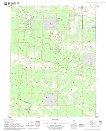
North Yolla Bolly Mountains Quadrangle, California
United States Forest Service
United States Department of Agriculture Forestry Service topographical map of North Yolla Bolly Mountains, Mendocino National Forest, California.
Page Size: 21.75 x 27 in (552 x 686 mm)
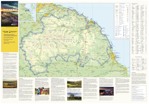
North York Moors National Park Map
Collins
With clear mapping and a high level of detail, explore North York Moors National Park easily with maps from Collins. This map identifies key park, tourist, and travel information, presented alongside a selection of photographs, making it an ideal companion for those exploring this beautiful area of Northern Yorkshire.
Page Size: 32 x 22.25 in (810 x 560 mm)
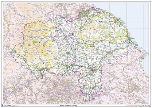
North Yorkshire County Map
XYZ Maps
This is a large ceremonial county map of North Yorkshire highlighting the county border, with the surrounding area faded out for excellent contrast. The map covers Guisborough, Harrogate, Hawes, Helmsley, Northallerton, Middlesbrough, Pickering, Scarborough, Redcar, Richmond, Thirsk and Whitby. The county map shows the latest County and Unitary Authority Boundaries, Overlaid on a Clear and Easy to Read Ordnance Survey map.
Page Size: 47 x 33.25 in (1189 x 841 mm)
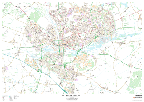
Northampton
MapSherpa
This map of Northampton shows detailed street level information including extensive street labelling. Ideal for planning of deliveries, home services, sales territories, real estate and much more.
Page Size: 47 x 33.25 in (1189 x 841 mm)
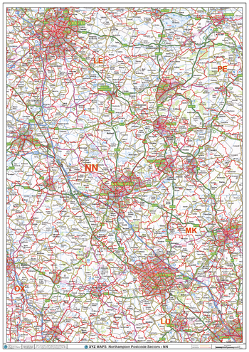
Northampton - NN - Postcode Wall Map
XYZ Maps
The Northampton Postcode Sector Wall Map shows detailed postcode sector boundaries (NN1 1, NN1 2) on a comprehensive background and is perfect for determining postcode boundaries for sales areas, planning mailshots and also an excellent reference for logistics. This wall map covers the whole of the NN Postcode Area.
Page Size: 33.25 x 47 in (841 x 1189 mm)
No search results