


MapSherpa Catalog
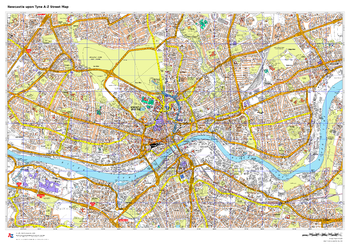
Newcastle upon Tyne A-Z Street Map
A-Z Maps
This up-to-date A-Z street map covers Newcastle and the immediate suburbs, showing the city centre with Newcastle Castle. Other areas included: Jesmond, Heaton, Fenham, Bensham, Gateshead, Dunston and Felling.
Page Size: 33.25 x 23.5 in (841 x 594 mm)
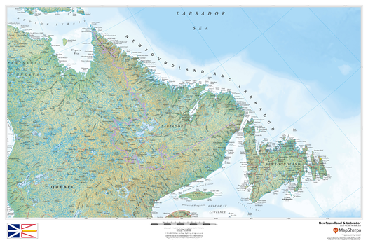
Newfoundland and Labrador
MapSherpa
This beautiful map shows physical and political features for Newfoundland and Labrador, and surrounding areas. Relief shading and the use of different colours by height above sea level are both informative and attractive.
Page Size: 36 x 24 in (914 x 610 mm)
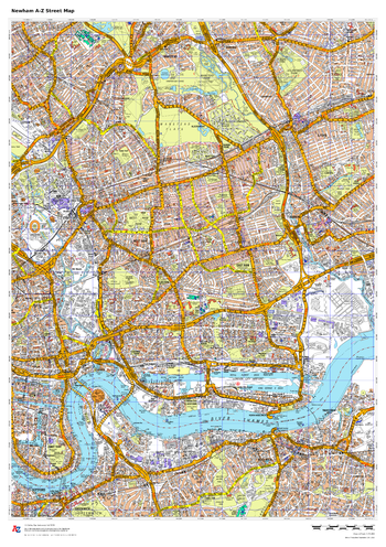
Newham A-Z Street Map
A-Z Maps
This up-to-date A-Z street map covers the London Borough of Newham, including the districts of Canning Town, East Ham, Forest Gate, Plaistow, Stratford and West Ham.
Page Size: 23.5 x 33.25 in (594 x 841 mm)
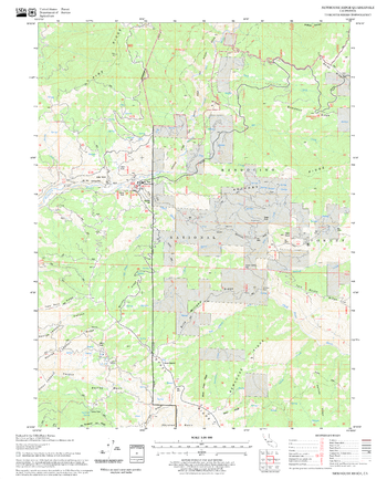
Newhouse Ridge Quadrangle, California
United States Forest Service
United States Department of Agriculture Forestry Service topographical map of Newhouse Ridge, Mendocino National Forest, California.
Page Size: 21.75 x 27 in (552 x 686 mm)
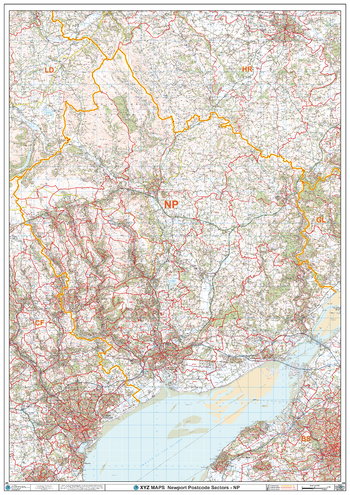
Newport - NP - Postcode Wall Map
XYZ Maps
The Newport Postcode Sector Wall Map shows detailed postcode sector boundaries (NP1 1, NP1 2) on a comprehensive background and is perfect for determining postcode boundaries for sales areas, planning mailshots and also an excellent reference for logistics. This wall map covers the whole of the NP Postcode Area.
Page Size: 33.25 x 47 in (841 x 1189 mm)
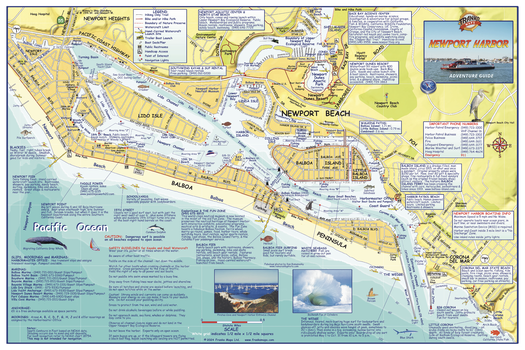
Newport Harbor, California Wall Map
Franko Maps
A detailed map of this aquatic playground, includes Newport Beach and the Balboa Peninsula. Locates and and describe places to surf, body board, kayak, dive, snorkel, and bird watch. Includes paved bike/hike trails, hiking only trails, trailer boat launches, boat docks/piers, public restrooms, handicap access, things to do and places to go.
Page Size: 36 x 24 in (914 x 610 mm)
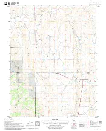
Newville Quadrangle, California
United States Forest Service
United States Department of Agriculture Forestry Service topographical map of Newville, Mendocino National Forest, California.
Page Size: 21.75 x 27 in (552 x 686 mm)
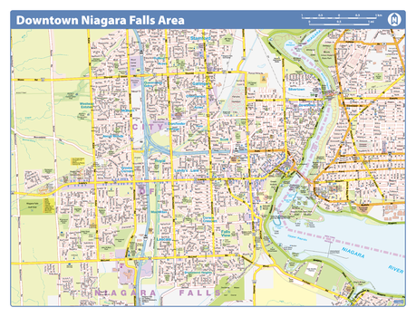
Niagara Falls Downtown - Compact
Lucidmap
Map of downtown Niagara Falls showing all roads, road names, political boundaries, transit, points of interest, parks, schools, churches, public buildings and landmarks.
Page Size: 21.5 x 16.25 in (546 x 413 mm)
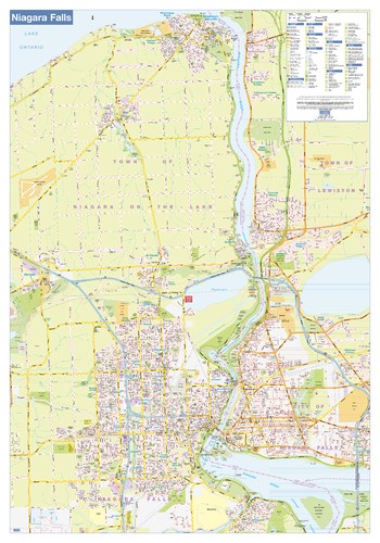
Niagara Falls Wall Map - Street Detail
Lucidmap
This wall map shows highly detailed local information for the city of Niagara Falls. Full street labeling along with transit information, parks, schools, churches and landmarks throughout the city are displayed.
The map has been designed in a very clear and legible manner with a traditional Canadian street map style embraced by map buyers over many years.
Page Size: 37.5 x 54 in (953 x 1372 mm)
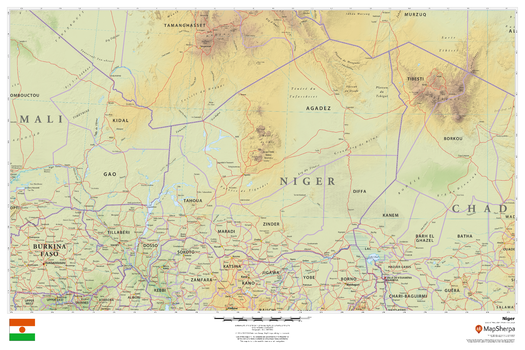
Niger
MapSherpa
This beautiful map shows physical and political features for Niger and surrounding areas. Relief shading and the use of different colours by height above sea level are both informative and attractive.
Page Size: 36 x 24 in (914 x 610 mm)
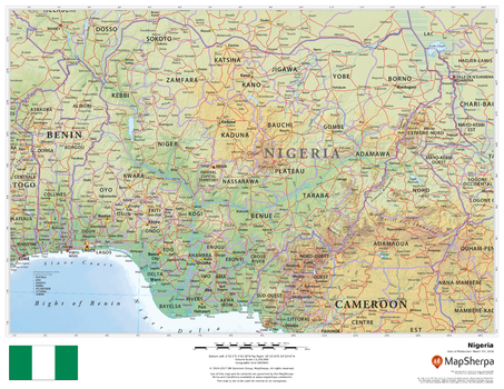
Nigeria
MapSherpa
This beautiful map shows physical and political features for Nigeria and surrounding areas. Relief shading and the use of different colours by height above sea level are both informative and attractive.
Page Size: 22 x 17 in (559 x 432 mm)
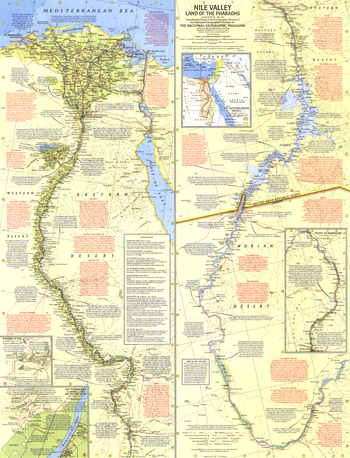
Nile Valley, Land of the Pharaohs - Published 1965
National Geographic
Herodotus wrote of Egypt, "nowhere are there so many marvelous things, nor in the whole world beside are there to be seen so many works of unspeakable greatness." Explore the beauty, mystery, and wonder of the fertile Nile Valley and the great civilizations it supported in this compelling map, which is loaded with an abundance of interesting historic and geographic facts. Published in May 1965 with the article "Yankee Cruises the Storied Nile." Originally half of a two-map set with "Your Introduction to Ancient Egypt", which contained an index to this map and an introduction to the history of this ancient land.
Page Size: 19 x 25 in (481 x 630 mm)
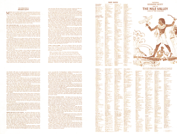
Nile Valley, Land of the Pharaohs Index - Published 1965
National Geographic
Your Introduction to Ancient Egypt was published in National Geographic in May 1965 to accompany the "Nile Valley, Land of the Pharaohs" map and the article "Yankee Cruises the Storied Nile." The four-panel text introduces you to Egypt and its history, with information about how the Nile's annual flooding nurtures the land, the first Pharaoh, the Egyptian dynasties, and the fall of this great civilization. It also includes a map index for the "Nile Valley, Land of the Pharaohs" map.
Page Size: 25 x 19 in (631 x 480 mm)
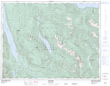
Nimpkish - 92 L/7 - British Columbia
Natural Resources Canada
Canadian topographic map of Nimpkish, British Columbia. NTS sheet 092L07 Edition 3.
Page Size: 32.25 x 25.25 in (814 x 640 mm)
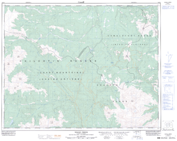
Noaxe Creek - 92 O/2 - British Columbia
Natural Resources Canada
Canadian topographic map of Noaxe Creek, British Columbia. NTS sheet 092O02 Edition 4.
Page Size: 32 x 25.5 in (807 x 644 mm)
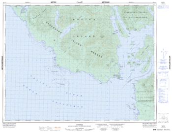
Nootka - 92 E/10 - British Columbia
Natural Resources Canada
Canadian topographic map of Nootka, British Columbia. NTS sheet 092E10 Edition 5.
Page Size: 33 x 25.5 in (838 x 642 mm)
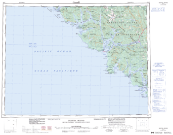
Nootka Sound - 92 E - British Columbia
Natural Resources Canada
Canadian topographic map of Nootka Sound, British Columbia. NTS sheet 092E Edition 2.
Page Size: 28 x 22 in (708 x 554 mm)
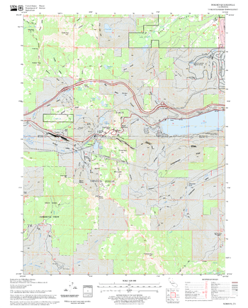
Norden Quadrangle, California
United States Forest Service
United States Department of Agriculture Forestry Service topographical map of Norden, Tahoe National Forest, California.
Page Size: 21.75 x 27 in (552 x 686 mm)
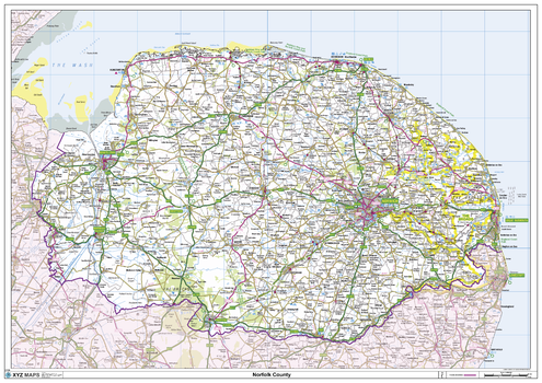
Norfolk County Map
XYZ Maps
This is a large ceremonial county map of Norfolk highlighting the county border, with the surrounding area faded out for excellent contrast. The map covers Blakeney, Cley-Next-The-Sea, Cromer, Downham Market, East Dereham, Great Witchingham, Great Yarmouth, Kings Lynn, Norwich, Swaffham, Thetford and Wells-Next-The-Sea. The county map shows the latest County and Unitary Authority Boundaries, Overlaid on a Clear and Easy to Read Ordnance Survey map.
Page Size: 47 x 33.25 in (1189 x 841 mm)
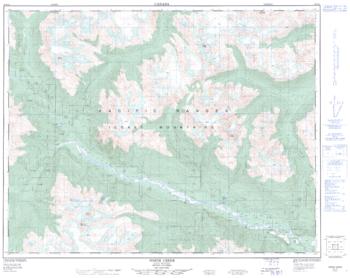
Norh Creek - 92 J/11 - British Columbia
Natural Resources Canada
Canadian topographic map of Norh Creek, British Columbia. NTS sheet 092J11 Edition 1.
Page Size: 32 x 25.5 in (809 x 642 mm)
No search results