


MapSherpa Catalog
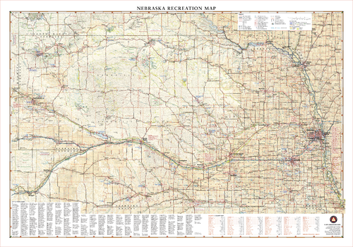
Nebraska Recreation Wall Map
Benchmark Maps
Nebraska’s vast prairies and farm towns are surprisingly active with outdoor recreation and frequent festivals. The Platte River traverses the state from west to east, converging with the Missouri River near Omaha, making The Corn Husker State an annual hotspot for migratory birds along the Central Flyway including endangered whooping cranes.
Page Size: 40 x 28 in (1016 x 711 mm)

Nebraska Recreation Wall Map – 26 inch
Benchmark Maps
Nebraska’s vast prairies and farm towns are surprisingly active with outdoor recreation and frequent festivals. The Platte River traverses the state from west to east, converging with the Missouri River near Omaha, making The Corn Husker State an annual hotspot for migratory birds along the Central Flyway including endangered whooping cranes.
Page Size: 37.25 x 26 in (943 x 660 mm)
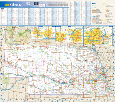
Nebraska State Wall Map
Globe Turner
This colorful, easy-to-read state map of Nebraska identifies all major thoroughfares, secondary roads, freeway interchanges, rest areas, distance markers, landmarks, recreational areas, and more. Shaded relief on the state map provides a three-dimensional sense of Nebraska’s topography. Detailed inset maps of Grand Island, Kearney, Lincoln, North Platte, and Omaha are based on the latest street information from our cartographic experts. County and city indices make it simple to locate even the smallest town.
Page Size: 20.75 x 18.5 in (524 x 467 mm)
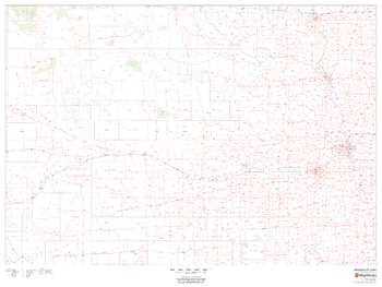
Nebraska ZIP Code Map
MapSherpa
This map of Nebraska shows ZIP codes overlaid on a road map. Base map features include county boundaries, major road network features, and state and national parks and conservation areas.
Page Size: 48 x 36 in (1219 x 914 mm)
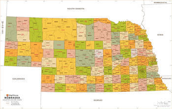
Nebraska ZIP Code Map with Counties - Extra Large
MapSherpa
This map has been created exclusively for MapSherpa, and designed for business or reference use. Clear and clean colors & fonts matched with cartographic research makes this map of Nebraska's counties and ZIP codes easily readable and useful.
Page Size: 60 x 38.25 in (1524 x 968 mm)
Nebraska ZIP Code Map with Counties - Large
MapSherpa
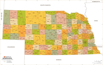
This map has been created exclusively for MapSherpa, and designed for business or reference use. Clear and clean colors & fonts matched with cartographic research makes this map of Nebraska's counties and ZIP codes easily readable and useful.
Page Size: 48 x 30.5 in (1219 x 774 mm)
Nebraska ZIP Code Map with Counties - Standard
MapSherpa
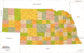
This map has been created exclusively for MapSherpa, and designed for business or reference use. Clear and clean colors & fonts matched with cartographic research makes this map of Nebraska's counties and ZIP codes easily readable and useful.
Page Size: 36 x 23 in (914 x 581 mm)
Nemo Quadrangle, South Dakota
United States Forest Service
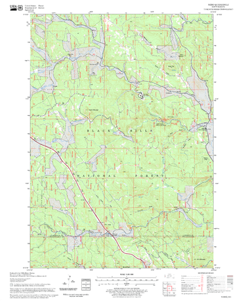
United States Department of Agriculture Forestry Service topographical map of Nemo, Black Hills National Forest, South Dakota.
Page Size: 21.75 x 27 in (552 x 686 mm)
Neutral World as Art
Maps International
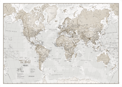
The World is Art is a unique range of World Maps created to look fantastic on your wall. This version is beautifully designed with neutral colour tones for the stylish wall space in your home, these maps are sure to impress. The World Map features major towns and cities and also contains hill and sea shading.
Page Size: 33.25 x 23.5 in (841 x 594 mm)
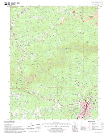
Nevada City Quadrangle, California
United States Forest Service
United States Department of Agriculture Forestry Service topographical map of Nevada City, Tahoe National Forest, California.
Page Size: 21.75 x 27 in (552 x 686 mm)
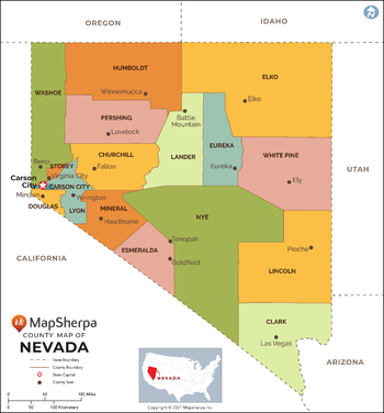
Nevada Counties Map - Extra Large
MapSherpa
This map has been created exclusively for MapSherpa, and designed for reference or business use. Clear and clean colors & fonts matched with cartographic research makes this map of Nevada Counties Map easily readable and useful. The map shows the 16 counties of Nevada and their borders across the Silver State.
Page Size: 60 x 64.5 in (1524 x 1635 mm)
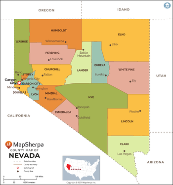
Nevada Counties Map - Large
MapSherpa
This map has been created exclusively for MapSherpa, and designed for reference or business use. Clear and clean colors & fonts matched with cartographic research makes this map of Nevada Counties Map easily readable and useful. The map shows the 16 counties of Nevada and their borders across the Silver State.
Page Size: 48 x 51.5 in (1219 x 1308 mm)
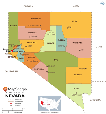
Nevada Counties Map - Standard
MapSherpa
This map has been created exclusively for MapSherpa, and designed for reference or business use. Clear and clean colors & fonts matched with cartographic research makes this map of Nevada Counties Map easily readable and useful. The map shows the 16 counties of Nevada and their borders across the Silver State.
Page Size: 36 x 38.75 in (914 x 981 mm)
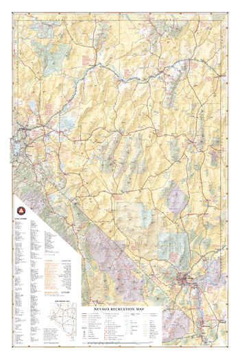
Nevada Recreation Wall Map
Benchmark Maps
Nevada’s desert landscapes can seem desolate, but there are world-class recreation oases throughout including Great Basin National Park, Lake Tahoe, Las Vegas, and the Black Rock Desert. This wall map illustrates the diversity of public lands and roadways that make The Silver State a delight for travelers looking for something different.
Page Size: 26.75 x 40 in (677 x 1016 mm)

Nevada Recreation Wall Map – 26 inch
Benchmark Maps
Nevada’s desert landscapes can seem desolate, but there are world-class recreation oases throughout including Great Basin National Park, Lake Tahoe, Las Vegas, and the Black Rock Desert. This wall map illustrates the diversity of public lands and roadways that make The Silver State a delight for travelers looking for something different.
Page Size: 26 x 38.75 in (660 x 978 mm)
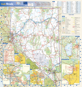
Nevada State Wall Map
Globe Turner
This colorful, easy-to-read state map of Nevada identifies all major thoroughfares, secondary roads, freeway interchanges, rest areas, distance markers, landmarks, recreational areas, and more. Shaded relief on the state map provides a three-dimensional sense of Nevada’s topography. Detailed city inset maps of Carson City, Laughlin, Las Vegas, and Reno are based on the latest street information from our cartographic experts. Additional insets of the Las Vegas Strip and Lake Tahoe depict must-see points of interest in these tourist areas. County and city indices make it simple to locate even the smallest town. City type sizes reflect the 2020 U.S. Census.
Page Size: 16.75 x 17.75 in (425 x 451 mm)
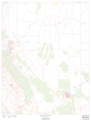
Nevada ZIP Code Map
MapSherpa
This map of Nevada shows ZIP codes overlaid on a road map. Base map features include county boundaries, major road network features, and state and national parks and conservation areas.
Page Size: 36 x 48 in (914 x 1219 mm)
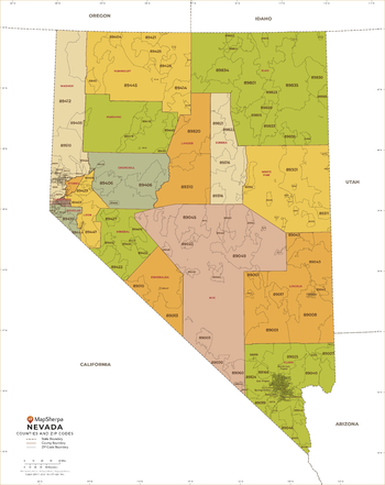
Nevada ZIP Code Map with Counties - Extra Large
MapSherpa
This map has been created exclusively for MapSherpa, and designed for business or reference use. Clear and clean colors & fonts matched with cartographic research makes this Nevada Zip Code Map with Counties easily readable and useful. The map shows the 16 counties of Nevada and the borders of the 159 zip codes across the Silver State.
Page Size: 60 x 75.75 in (1524 x 1920 mm)
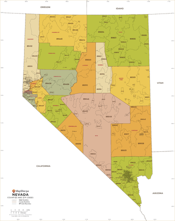
Nevada ZIP Code Map with Counties - Large
MapSherpa
This map has been created exclusively for MapSherpa, and designed for business or reference use. Clear and clean colors & fonts matched with cartographic research makes this Nevada Zip Code Map with Counties easily readable and useful. The map shows the 16 counties of Nevada and the borders of the 159 zip codes across the Silver State.
Page Size: 48 x 60.5 in (1219 x 1536 mm)
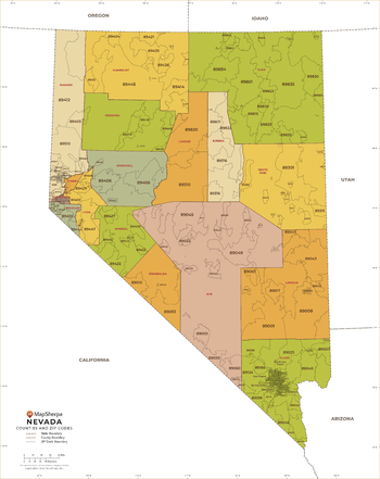
Nevada ZIP Code Map with Counties - Standard
MapSherpa
This map has been created exclusively for MapSherpa, and designed for business or reference use. Clear and clean colors & fonts matched with cartographic research makes this Nevada Zip Code Map with Counties easily readable and useful. The map shows the 16 counties of Nevada and the borders of the 159 zip codes across the Silver State.
Page Size: 36 x 45.5 in (914 x 1152 mm)
No search results