


MapSherpa Catalog
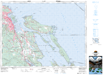
Nanaimo - 92 G/4 - British Columbia
Natural Resources Canada
Canadian topographic map of Nanaimo, British Columbia. NTS sheet 092G04 Edition 5.
Page Size: 35.75 x 26.25 in (908 x 662 mm)
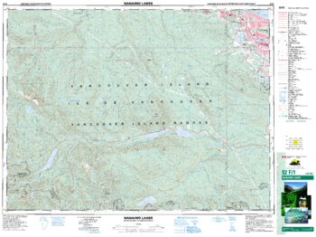
Nanaimo Lakes - 92 F/1 - British Columbia
Natural Resources Canada
Canadian topographic map of Nanaimo Lakes, British Columbia. NTS sheet 092F01 Edition 6.
Page Size: 34.75 x 26 in (880 x 659 mm)
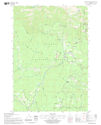
Napoleon Hill Quadrangle, Idaho
United States Forest Service
United States Department of Agriculture Forestry Service topographical map of Napoleon Hill, Salmon-Chalis National Forest, Idaho.
Page Size: 21.75 x 27 in (552 x 686 mm)
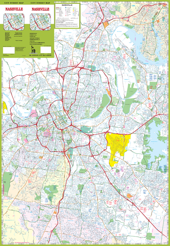
Nashville Street Map
GM Johnson
Nashville, Tennessee Street Map. Map Coverage Area: Belle Meade, Berry Hill, Brentwood*, Forest Hills, Goodlettsville*, Hendersonville*, Nashville*, Nolensville*, Oak Hill, Davidson County*, Sumner County*, Williamson County*. *Partial Coverage*.
Page Size: 27.25 x 39.5 in (692 x 1003 mm)
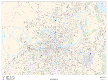
Nashville, Tennessee Inner Metro - Landscape
MapSherpa
This landscape-oriented map of central Nashville, Tennessee shows detailed street level information including extensive street labeling. Ideal for planning of deliveries, home services, sales territories, real estate and much more. Base map features include all roads with major roads and highways labelled; neighborhood names; railways; high level land use such as parks and recreation areas, industrial areas and hospital campuses; and a variety of points of interest including schools, libraries, stadiums, museums, border crossings and more.
Page Size: 48 x 36 in (1219 x 914 mm)
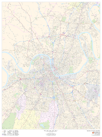
Nashville, Tennessee Inner Metro - Portrait
MapSherpa
This portrait-oriented map of central Nashville, Tennessee shows detailed street level information including extensive street labeling. Ideal for planning of deliveries, home services, sales territories, real estate and much more. Base map features include all roads with major roads and highways labelled; neighborhood names; railways; high level land use such as parks and recreation areas, industrial areas and hospital campuses; and a variety of points of interest including schools, libraries, stadiums, museums, border crossings and more.
Page Size: 36 x 48 in (914 x 1219 mm)
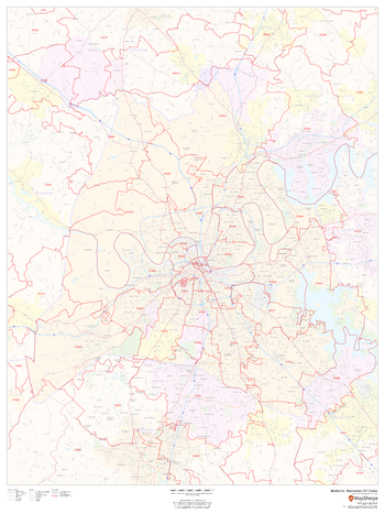
Nashville, Tennessee ZIP Codes
MapSherpa
This map of Nashville shows ZIP code areas overlaid on a road map. Ideal for planning of deliveries, home services, sales territories, real estate and much more. Base map features include all roads with major roads and highways labelled; neighborhood names; railways; and high level land use such as parks and recreation areas, industrial areas and hospital campuses.
Page Size: 36 x 48 in (914 x 1219 mm)
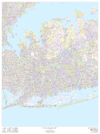
Nassau County, New York
MapSherpa
This map of Nassau County, New York shows street level information including street labeling. Base map features include all roads with major roads and highways labelled; neighborhood names; railways; high level land use such as parks and recreation areas, industrial areas and hospital campuses; and a variety of points of interest including libraries, stadiums, museums, border crossings and more. ZIP code boundaries are shown as a secondary map feature.
Page Size: 36 x 48 in (914 x 1219 mm)

Nassau County, New York ZIP Codes
MapSherpa
This map of Nassau County, New York shows ZIP code areas overlaid on a road map. Ideal for planning of deliveries, home services, sales territories, real estate and much more. Base map features include all roads with major roads and highways labelled; neighborhood names; railways; and high level land use such as parks and recreation areas, industrial areas and hospital campuses.
Page Size: 36 x 48 in (914 x 1219 mm)
National Geographic TOPO!
National Geographic
National Geographic's TOPO! equips backcountry explorers with the maps they need to reach mountain peaks, secluded lakes, and every road in between. The Series uses the most detailed USGS topographic maps available, showing essential landmarks and navigational aids, so you'll know where to go on your backpacking, mountain biking, kayaking, and fishing adventures.
National Geographic World Atlas
National Geographic
National Geographic World Atlas
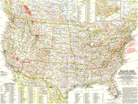
National Parks - Published 1958
National Geographic
This map lets you discover the abundance and diversity of the lands, forests, memorials, and battle sites administered by the National Park Service. Includes Canadian parks with an inset map of New Brunswick, Nova Scotia, and Prince Edward Island. Published in May 1958 as half of a two-map presentation on national parks.
Page Size: 25 x 19 in (632 x 480 mm)
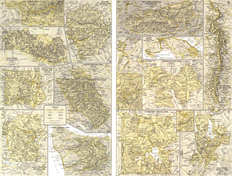
National Parks Inset Maps - Published 1958
National Geographic
This detailed map of the twelve move visited sites in the nation's park system appeared in the May 1958 issue as half of a two-map presentation on national parks. One of the parks featured on this map, Sequoia National Park, boasts California's finest stands of sequoias. The National Geographic Society and individual members contributed $9.990,000 to help preserve these ancient trees for the American people.
Page Size: 25 x 19 in (633 x 479 mm)
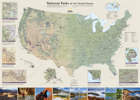
National Parks of the United States
National Geographic
National Geographic's wall map of National Parks of the United States highlights the nearly 400 magnificent parks across America. The country is represented in subtle earth-tones with shaded mountain relief and intricately drawn river systems. Photos capture some of the diverse landscapes preserved and protected by the national park system.Separate inset maps provide detail and descriptions of seven of the parks: Yellowstone, Yosemite, Acadia, Grand Canyon, Great Smoky Mountains, Everglades, and Zion. Parks located in U.S. territories are included on an inset world map.Includes insets of the Yellowstone, Yosemite, Acadia, Grand Canyon, Great Smoky Mountains, Everglades, and Zion National Parks, an inset world map showing outlying U.S. National Parks, a list of parks near metropolitan areas.Popular Places Included on the Map include Yellowstone, Yosemite, Denali, Joshua Tree, Acadia, Grand Canyon, Great Smoky Mountains, Hawai'i Volcanoes, Everglades, Zion, Mount Rushmore, Great Sand Dune, and Rocky Mountain national parks.
Page Size: 42 x 30 in (1067 x 762 mm)
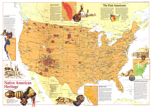
Native American Heritage - Published 1991
National Geographic
This educational map reveals tribal and archaeological sites across the United States, including federal reservations and museums. Published in October 1991 as a companion to the "Indian America - What You Can Visit Today" map (which includes the index to this map) and seven articles on pre-Columbus America.
Page Size: 29 x 20.5 in (735 x 517 mm)
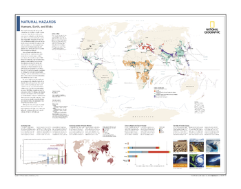
Natural Hazards: Humans, Earth, and Risks - Atlas of the World, 10th Edition
National Geographic
Cities at Risk; Increasing Costs; Increasing Number of People Affected; Costs by Region and Type of Disaster; The Role of Climate Change
Page Size: 28 x 22 in (711 x 559 mm)
Natural World
MapSherpa
This Physical World Map makes great use of place names pointing out the world’s physical and water features. Shaded relief for both the land and ocean floors are shown, along with land coloring to represent the land use. From islands to capes to peaks, and seas to rivers to lakes, and so much more, this Physical World Map is an outstanding addition to any home or place of learning.
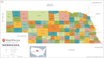
Nebraska Counties Map - Extra Large
MapSherpa
This map has been created exclusively for MapSherpa, and designed for reference or business use. Clear and clean colors & fonts matched with cartographic research makes this map of the 93 Nebraska counties easily readable and useful.
Page Size: 60 x 33.75 in (1524 x 856 mm)
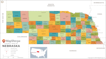
Nebraska Counties Map - Large
MapSherpa
This map has been created exclusively for MapSherpa, and designed for reference or business use. Clear and clean colors & fonts matched with cartographic research makes this map of the 93 Nebraska counties easily readable and useful.
Page Size: 48 x 27 in (1219 x 685 mm)
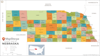
Nebraska Counties Map - Standard
MapSherpa
This map has been created exclusively for MapSherpa, and designed for reference or business use. Clear and clean colors & fonts matched with cartographic research makes this map of the 93 Nebraska counties easily readable and useful.
Page Size: 36 x 20.25 in (914 x 514 mm)
No search results