


MapSherpa Catalog
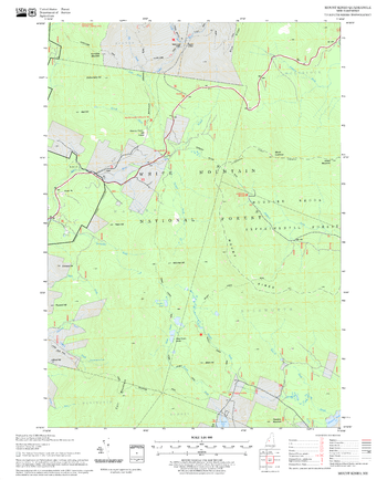
Mount Kineo Quadrangle, New Hampshire-Vermont
United States Forest Service
United States Forestry Service topographical map of Mount Kineo, New Hampshire-Vermont
Page Size: 21.75 x 27 in (552 x 686 mm)

Mount Logan Area
GoTrekkers
Mount Logan Area
Page Size: 47.75 x 37.75 in (1211 x 954 mm)
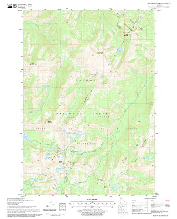
Mount McGuire Quadrangle, Idaho
United States Forest Service
United States Department of Agriculture Forestry Service topographical map of Mount McGuire, Salmon-Chalis National Forest, Idaho.
Page Size: 21.75 x 27 in (552 x 686 mm)
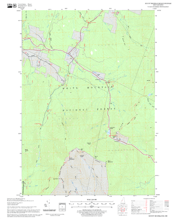
Mount Moosilauke Quadrangle, New Hampshire-Vermont
United States Forest Service
United States Forestry Service topographical map of Mount Moosilauke, New Hampshire-Vermont
Page Size: 21.75 x 27 in (552 x 686 mm)
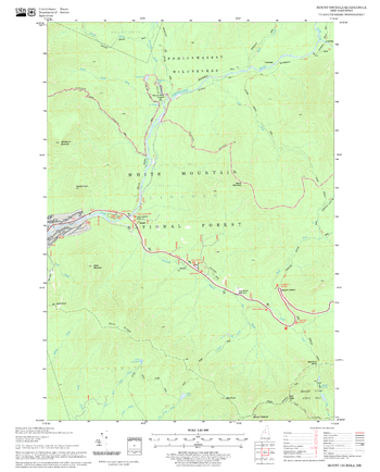
Mount Osceola Quadrangle, New Hampshire-Vermont
United States Forest Service
United States Forestry Service topographical map of Mount Osceola, New Hampshire-Vermont
Page Size: 21.75 x 27 in (552 x 686 mm)
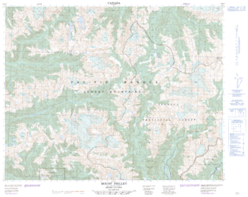
Mount Philly - 92 M/7 - British Columbia
Natural Resources Canada
Canadian topographic map of Mount Philly, British Columbia. NTS sheet 092M07 Edition 2.
Page Size: 31.5 x 25 in (794 x 631 mm)
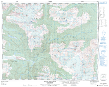
Mount Queen Bess - 92 N/7 - British Columbia
Natural Resources Canada
Canadian topographic map of Mount Queen Bess, British Columbia. NTS sheet 092N07 Edition 2.
Page Size: 31.75 x 25.25 in (805 x 641 mm)

Mount Revelstoke National Park
GoTrekkers
Mount Revelstoke National Park
Page Size: 41 x 32.5 in (1041 x 826 mm)

Mount Robson Area
GoTrekkers
Mount Robson Area
Page Size: 40.5 x 35.5 in (1029 x 902 mm)
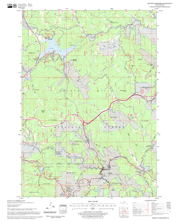
Mount Rushmore Quadrangle, South Dakota
United States Forest Service
United States Department of Agriculture Forestry Service topographical map of Mount Rushmore, Black Hills National Forest, South Dakota.
Page Size: 21.75 x 27 in (552 x 686 mm)
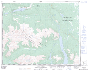
Mount Tatlow - 92 O/5 - British Columbia
Natural Resources Canada
Canadian topographic map of Mount Tatlow, British Columbia. NTS sheet 092O05 Edition 2.
Page Size: 32 x 25.5 in (812 x 647 mm)
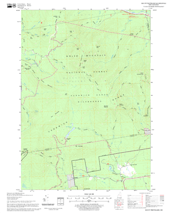
Mount Tripyramid Quadrangle, New Hampshire-Vermont
United States Forest Service
United States Forestry Service topographical map of Mount Tripyramid, New Hampshire-Vermont
Page Size: 21.75 x 27 in (552 x 686 mm)
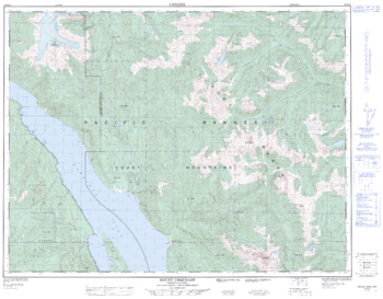
Mount Urquhart - 92 H/12 - British Columbia
Natural Resources Canada
Canadian topographic map of Mount Urquhart, British Columbia. NTS sheet 092H12 Edition 2.
Page Size: 32.5 x 25.5 in (824 x 643 mm)
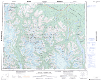
Mount Waddington - 92 N - British Columbia
Natural Resources Canada
Canadian topographic map of Mount Waddington, British Columbia. NTS sheet 092N Edition 2.
Page Size: 27.75 x 22 in (699 x 556 mm)
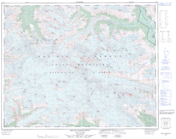
Mount Waddington - 92 N/6 - British Columbia
Natural Resources Canada
Canadian topographic map of Mount Waddington, British Columbia. NTS sheet 092N06 Edition 1.
Page Size: 32 x 25.25 in (811 x 641 mm)
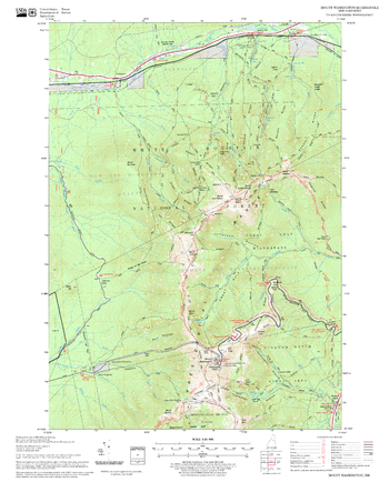
Mount Washington Quadrangle, New Hampshire-Vermont
United States Forest Service
United States Forestry Service topographical map of Mount Washington, New Hampshire-Vermont
Page Size: 21.75 x 27 in (552 x 686 mm)
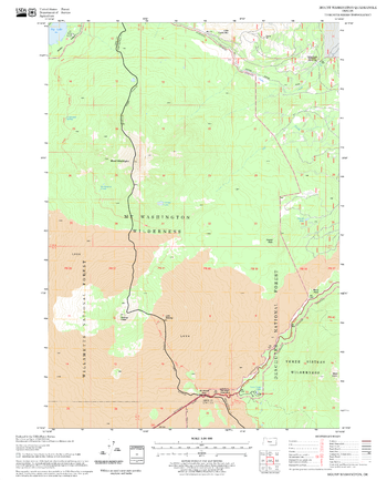
Mount Washington Quadrangle, Oregon
United States Forest Service
United States Department of Agriculture Forestry Service topographical map of Mount Washington, Deschutes National Forest, Oregon.
Page Size: 21.75 x 27 in (552 x 686 mm)
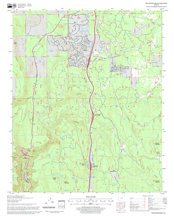
Mountainaire Quadrangle, Arizona
United States Forest Service
United States Department of Agriculture Forestry Service topographical map of Mountainaire, Coconino National Forest, Arizona.
Page Size: 21.75 x 27 in (552 x 686 mm)
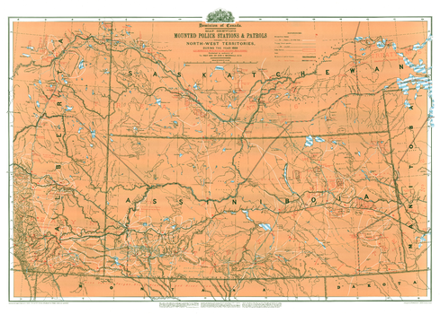
Mounted Police Stations and Patrols
Natural Resources Canada
Contained within the Historical Maps, 1639 to 1949, Atlas of Canada map series, is a reproduction of an 1888 map compiled by Surveys and Mapping Branch of Energy Mines and Resources [now Natural Resources Canada] to commemorate the 1973 centenary of the RCMP. The map shows stations and patrol routes in the North-West Territories during 1888. The area covered corresponds to present-day southeastern Alberta and southern Saskatchewan. The map has a great deal of information about Indian lands, showing treaty areas, Indian reserves, and giving populations on the reserves.
Page Size: 42 x 30 in (1063 x 762 mm)
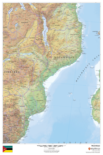
Mozambique
MapSherpa
This beautiful map shows physical and political features for Mozambique and surrounding areas. Relief shading and the use of different colours by height above sea level are both informative and attractive.
Page Size: 24 x 36 in (610 x 914 mm)
No search results