


MapSherpa Catalog
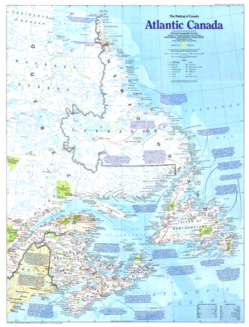
Making of Canada, Atlantic Canada - Published 1993
National Geographic
Explore the eastern-most points in North America and a land of rich and diverse culture and pristine environment with this map of Canada's Atlantic provinces. Published in October 1993 as part of the "Making of Canada" series.
Page Size: 20.5 x 27 in (519 x 683 mm)
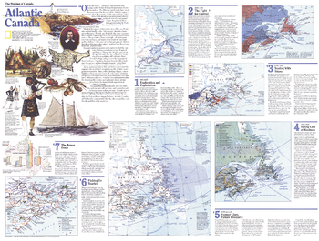
Making of Canada, Atlantic Canada Theme - Published 1993
National Geographic
Published in October 1993 as half of a two-map set, this map of Atlantic Canada is part of the "Making of Canada" series. With a collection of maps detailing periods of the region's exploration and settlement as well as information about its dwindling fishing industry and burgeoning tourism industry, this work provides a wonderful historical overview as well as a compelling look at the changing face of Atlantic Canada.
Page Size: 27 x 20.5 in (685 x 519 mm)
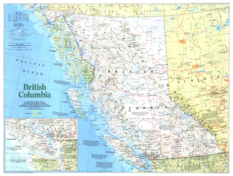
Making of Canada, British Columbia - Published 1992
National Geographic
A land of rugged mountains and spectacular forests, Canada's British Columbia province is a land of plentiful natural resources and vibrant native cultures. This map is noteworthy for its inclusion of the wealth of national and provincial parks and Indian reserves throughout the region. Published in April 1992 as part of the "Making of Canada" series.
Page Size: 27 x 20.5 in (685 x 518 mm)
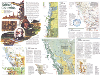
Making of Canada, British Columbia Theme - Published 1992
National Geographic
Published in April 1992 as half of a two-map set, this map of British Columbia is part of the "Making of Canada" series. With a collection of maps detailing periods of the province's exploration and settlement, this work provides a wonderful historical overview as well as a compelling look at the wonders of present-day British Columbia.
Page Size: 27 x 20.5 in (685 x 518 mm)
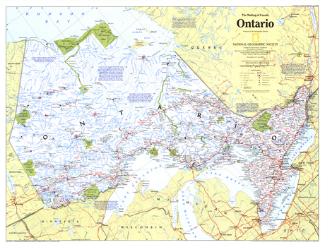
Making of Canada, Ontario - Published 1996
National Geographic
This map of Canada's Ontario province contains a wealth of information. The richest, most populous, and most urban province, Ontario is also a land of uninhabited wilderness and vast mineral wealth. Published in June 1996 as part of the "Making of Canada" series.
Page Size: 27.25 x 20.75 in (688 x 523 mm)
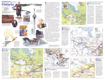
Making of Canada, Ontario Theme - Published 1996
National Geographic
The richest, most populous, and most urban province in Canada, Ontario contains both vibrant cities and uninhabited boreal forests and tundra. Part of the "Making of Canada" series, this map of the province is Side One of a two-map set published in June 1996 which accompanied an article on Toronto.
Page Size: 27.25 x 20.75 in (688 x 523 mm)
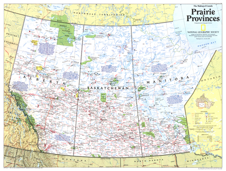
Making of Canada, Prairie Provinces - Published 1994
National Geographic
A land of sweeping prairies and abundant wildlife, Alberta, Saskatchewan and Manitoba make up Canada's agricultural heartland and Prairie Provinces. Published in December 1994 as part of the "Making of Canada" series, this map accompanied the article "Canada's Highway of Steel."
Page Size: 27 x 20.5 in (686 x 518 mm)
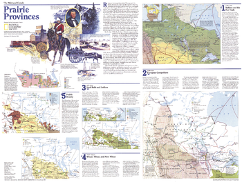
Making of Canada, Prairie Provinces Theme - Published 1994
National Geographic
Published in December 1994 as half of a two-map set, this map of the Prairie Provinces is part of the "Making of Canada" series. With a collection of maps detailing periods of the province's exploration and settlement, this work provides a wonderful historical overview as well as an informative look at present-day Alberta, Saskatchewan, and Manitoba.
Page Size: 27 x 20.5 in (686 x 518 mm)
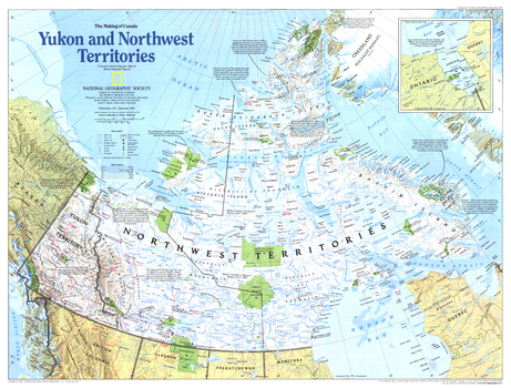
Making of Canada, Yukon and Northwest Territories - Published 1997
National Geographic
This map of Canada's Yukon and Northwest Territories (Nunavut) highlights the region's historical events, as well as its abundant national and territorial parks and wildlife areas. Published in September 1997 as part of the "Making of Canada" series.
Page Size: 27 x 20.5 in (683 x 519 mm)
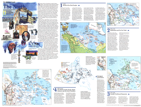
Making of Canada, the North - Published 1997
National Geographic
Explore the northernmost reaches of Canada with this educational map of The North. Published in September 1997 as part of the "Making of Canada" series, this map is a companion to the map of the Yukon and Northwest Territories printed in the same issue. Particular attention is paid to the history of the region's first inhabitants and the formation of the new province of Nunavut.
Page Size: 27 x 20.5 in (683 x 520 mm)
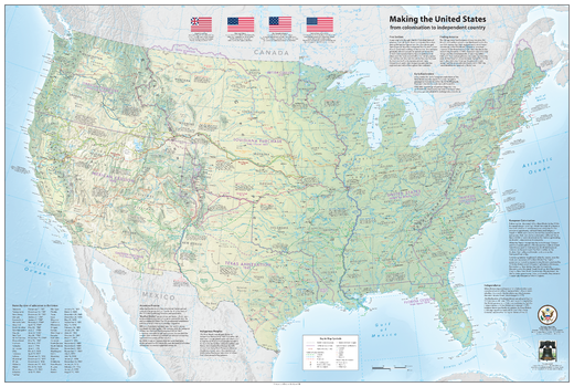
Making the United States – from colonization to independent country
Sparrow Maps
A map illustrating the exploration and growth of the United States.
Based on a physical map of the Contiguous USA with present-day state boundaries and settlements, the map shows territorial acquisitions and the dates each state joined the Union, routes of early explorers and early European settlements, trails of westward expansion and native American tribes and villages, annotated with notes. Historical texts around the map, table of states by date of admission to the Union and illustrations of significant flags, Great Seal of USA and The Liberty Bell. An amazing compilation of the growing discovery and knowledge of the country's geography.
Page Size: 46 x 31 in (1163 x 782 mm)
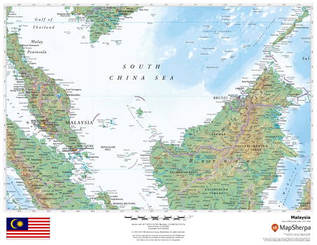
Malaysia
MapSherpa
This beautiful map shows physical and political features for Malaysia and surrounding areas. Relief shading and the use of different colours by height above sea level are both informative and attractive.
Page Size: 22 x 17 in (559 x 432 mm)
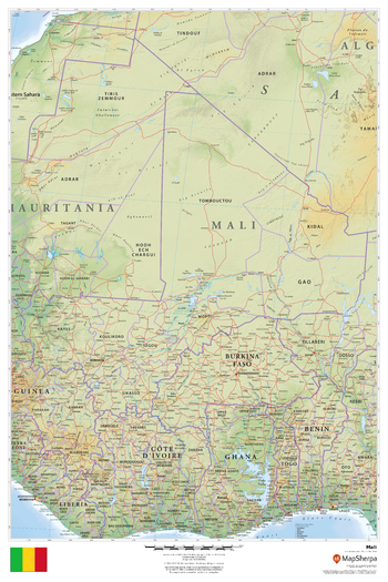
Mali
MapSherpa
This beautiful map shows physical and political features for Mali and surrounding areas. Relief shading and the use of different colours by height above sea level are both informative and attractive.
Page Size: 24 x 36 in (610 x 914 mm)
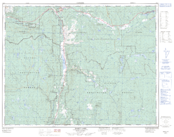
Mamit Lake - 92 I/7 - British Columbia
Natural Resources Canada
Canadian topographic map of Mamit Lake, British Columbia. NTS sheet 092I07 Edition 2.
Page Size: 32.5 x 25.5 in (822 x 646 mm)
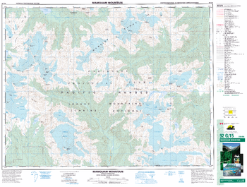
Mamquam Moutain - 92 G/15 - British Columbia
Natural Resources Canada
Canadian topographic map of Mamquam Moutain, British Columbia. NTS sheet 092G15 Edition 3.
Page Size: 34.25 x 26 in (869 x 658 mm)
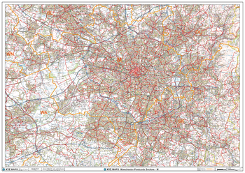
Manchester - M - Postcode Wall Map
XYZ Maps
The Manchester Postcode Sector Wall Map shows detailed postcode sector boundaries (M1 1, M1 2) on a comprehensive background and is perfect for determining postcode boundaries for sales areas, planning mailshots and also an excellent reference for logistics. This wall map covers the whole of the M Postcode Area.
Page Size: 47 x 33.25 in (1189 x 841 mm)
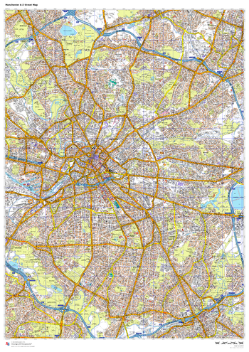
Manchester A-Z Street Map
A-Z Maps
This up-to-date A-Z street map includes all of the 4,500 streets in and around Manchester. As well as the Northern Quarter and Spinningfields, the other areas covered include Moss Side, Ordsall, Weaste, Salford, Seedley, Lower Kersal, Strangeways, Miles Platting and West Gorton.
Page Size: 33.25 x 47 in (841 x 1189 mm)
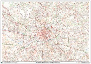
Manchester City Centre Postcode Sector Wall Map (C3)
XYZ Maps
The Manchester City Centre Postcode Sector Wall Map shows detailed postcode sector boundaries along with its associated label (M1 1, M1 2) on a comprehensive background and is perfect for determining postcode boundaries, for sales, logistics, planning mailshots or as a regional reference guide.
Page Size: 47 x 33.25 in (1189 x 841 mm)
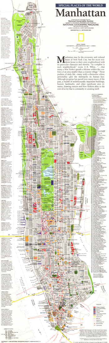
Manhattan - Published 1990
National Geographic
This map of Manhattan focuses attention on the borough's neighborhoods, particularly their character and points of interest. Published in September 1990 as part of the "Special Places of the World" series and a companion to three articles focused on New York City.
Page Size: 10 x 31.25 in (253 x 791 mm)
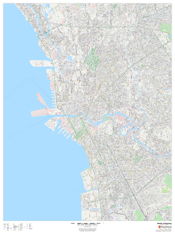
Manila, Philippines
MapSherpa
This detailed street map of Manila, Philippines shows the full road and rail networks, points of interest, and land use across the city. Useful for businesses operating in the city, or as consumer memorabilia of the city.
Page Size: 36 x 48 in (914 x 1219 mm)
No search results