


MapSherpa Catalog
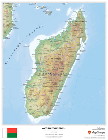
Madagascar
MapSherpa
This beautiful map shows physical and political features for Madagascar and surrounding areas. Relief shading and the use of different colours by height above sea level are both informative and attractive.
Page Size: 17 x 22 in (432 x 559 mm)

Madison Lakes Chain
Mapping Specialists
An Attractive map of the lake showing a visual 3D representation of the lake bottom. Includes boat launches, rock area and vegetation. Land area is high resolution aerial imagery.
Page Size: 30.25 x 33.5 in (765 x 851 mm)
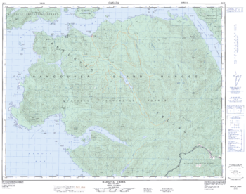
Mahatta Creek - 92 L/5 - British Columbia
Natural Resources Canada
Canadian topographic map of Mahatta Creek, British Columbia. NTS sheet 092L05 Edition 3.
Page Size: 32 x 25.25 in (812 x 640 mm)
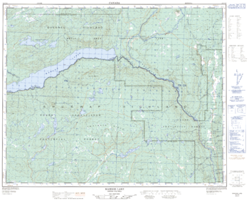
Mahood Lake - 92 P/16 - British Columbia
Natural Resources Canada
Canadian topographic map of Mahood Lake, British Columbia. NTS sheet 092P16 Edition 2.
Page Size: 31.5 x 25.25 in (796 x 640 mm)
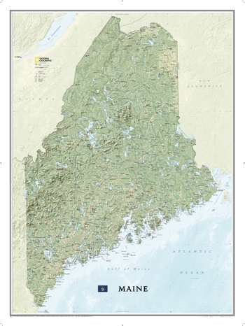
Maine
National Geographic
Expertly rendered on National Geographic's wall map of Maine is the picturesque forested topography of the Pine Tree State. The entire state is visualized with vibrant colors and stunning shaded relief, depicting mountains, forests and waterways, from its border with New Hampshire in the west, along the Canadian border to the north and its back down its rugged eastern Atlantic Ocean coastline. The precise location of hundreds of places are pinpointed on the map, including cities and towns, national and state parks, lakes and bays, historic sites, ski resorts, mountain peaks and other points of interest. In addition, major infrastructure networks, including roads, highways, airports and ferry routes are clearly labeled.
Page Size: 30.25 x 40.5 in (768 x 1029 mm)
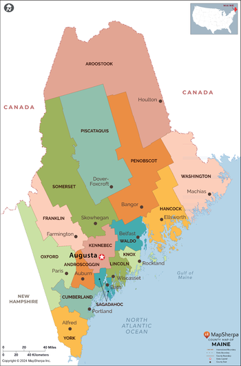
Maine Counties Map - Extra Large
MapSherpa
This map has been created exclusively for MapSherpa, and designed for reference or business use. Clear and clean colors & fonts matched with cartographic research makes this map of the 16 Maine counties easily readable and useful.
Page Size: 60 x 91.25 in (1524 x 2313 mm)
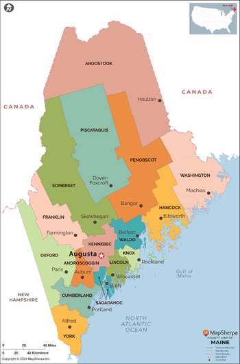
Maine Counties Map - Large
MapSherpa
This map has been created exclusively for MapSherpa, and designed for reference or business use. Clear and clean colors & fonts matched with cartographic research makes this map of the 16 Maine counties easily readable and useful.
Page Size: 48 x 73 in (1219 x 1851 mm)
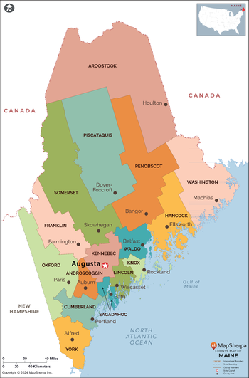
Maine Counties Map - Standard
MapSherpa
This map has been created exclusively for MapSherpa, and designed for reference or business use. Clear and clean colors & fonts matched with cartographic research makes this map of the 16 Maine counties easily readable and useful.
Page Size: 36 x 54.75 in (914 x 1388 mm)
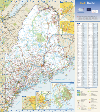
Maine State Wall Map
Globe Turner
This colorful, easy-to-read state map of Maine identifies all major thoroughfares, secondary roads, freeway interchanges, rest areas, distance markers, landmarks, recreational areas, and more. Shaded relief on the state map provides a three-dimensional sense of Maine’s topography. Detailed city inset maps of Augusta, Bangor, Lewiston, and Portland are based on the latest street information from our cartographic experts. An up-to-date inset of Acadia National Park provides must-see information on this tourist area. County and city indices make it simple to locate even the smallest town.
Page Size: 18.5 x 20.75 in (467 x 524 mm)
Maine ZIP Code Map
MapSherpa
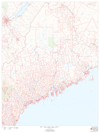
This map of Maine shows ZIP codes overlaid on a road map. Base map features include municipality and county boundaries, major road network features, and state and national parks and conservation areas.
Page Size: 36 x 48 in (914 x 1219 mm)
Maine ZIP Code Map with Counties - Extra Large
MapSherpa
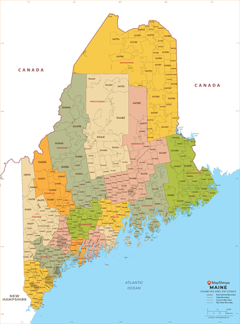
This map has been created exclusively for MapSherpa, and designed for business or reference use. Clear and clean colors & fonts matched with cartographic research makes this map of Maine's counties and ZIP codes easily readable and useful.
Page Size: 60 x 81 in (1524 x 2053 mm)
Maine ZIP Code Map with Counties - Large
MapSherpa
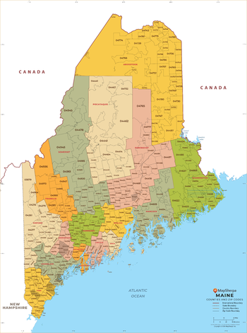
This map has been created exclusively for MapSherpa, and designed for business or reference use. Clear and clean colors & fonts matched with cartographic research makes this map of Maine's counties and ZIP codes easily readable and useful.
Page Size: 48 x 64.75 in (1219 x 1642 mm)
Maine ZIP Code Map with Counties - Standard
MapSherpa
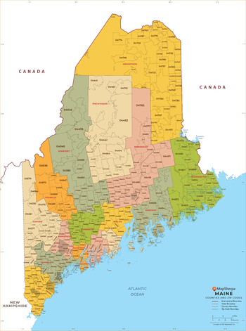
This map has been created exclusively for MapSherpa, and designed for business or reference use. Clear and clean colors & fonts matched with cartographic research makes this map of Maine's counties and ZIP codes easily readable and useful.
Page Size: 36 x 48.5 in (914 x 1232 mm)
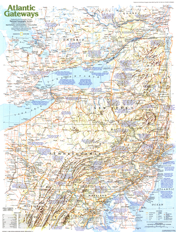
Making of America, Atlantic Gateways - Published 1983
National Geographic
From the early settlements of European colonists to the great cities of New York, Philadelphia, and Washington, D.C., the Atlantic Gateways region of the United States has a tremendous historical and modern day presence. This educational map explores this vital region, focusing on the central states along the eastern seaboard. Published in March 1983 as part of the "Making of America" series.
Page Size: 20.5 x 27 in (519 x 683 mm)
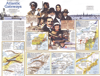
Making of America, Atlantic Gateways Theme - Published 1983
National Geographic
Part of the "Making of America" series, this map of the Atlantic Gateways is Side Two of a two-map set. Published in March 1983, this work features an abundance of historical information about the central region of the eastern seaboard including New York, Pennsylvania, New Jersey, Maryland, Rhode Island, northern Virginia, and southern Massachusetts.
Page Size: 27 x 20.5 in (685 x 518 mm)
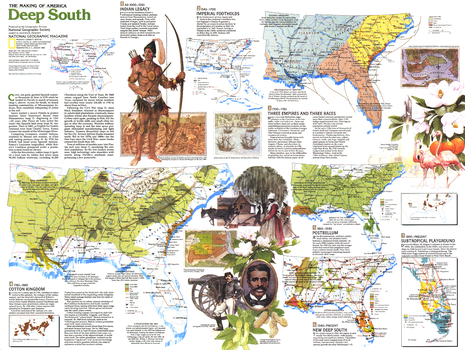
Making of America, Deep South Theme - Published 1983
National Geographic
Part of the "Making of America" series, the Deep South map is half of a two-map set published in August 1984. With nine unique maps profiling the history of the region, this work provides an abundance of information on the cultures who settled the region, its dark history of slavery, phases of its economic growth, and more.
Page Size: 27.25 x 20.5 in (687 x 518 mm)
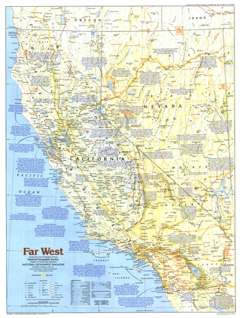
Making of America, Far West - Published 1984
National Geographic
This map of the Far West region of the United States focuses on California and Nevada, detailing the history, geography, and tourist sites to be found in both the "Golden State" and "Silver State." Published in April 1984 as part of the "Making of America" series.
Page Size: 20.5 x 27.25 in (520 x 687 mm)
Making of America, Far West Theme - Published 1984
National Geographic
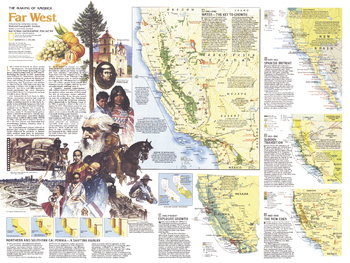
The Far West map of April 1984 is half of a two-map set in the "Making of America" series. Focusing on California and Nevada, this map provides a wealth of historical information about the region including the early days of Indians and Spanish settlements, the discovery of gold and silver, and the establishment of the agricultural and film industries.
Page Size: 27.25 x 20.5 in (688 x 518 mm)
Making of America, West Indies - Published 1987
National Geographic
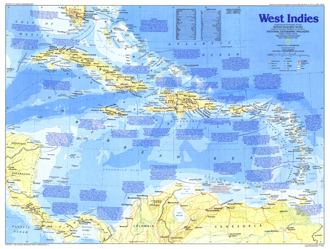
Explore the culturally diverse and historically rich islands of the Caribbean with this map of the West Indies. Published in November 1987 as part of the "Making of America" series, this map accompanied two articles, "Searching for Columbus's Lost Colony: La Navidad" and "Haiti - Against All Odds."
Page Size: 27.25 x 20.5 in (687 x 519 mm)
Making of America, West Indies Theme - Published 1987
National Geographic
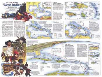
A region of contrasts, the islands of the West Indies are both tropical paradise and lands marred by a dark history of slavery, greed, and suffering. Part of the "Making of America" series, this work represents Side Two of a two-map set published in November 1987 and features an abundance of historical information about this culturally diverse region. Two articles, "Searching for Columbus's Lost Colony: La Navidad" and "Haiti - Against All Odds," accompanied the two maps.
Page Size: 27.25 x 20.5 in (687 x 519 mm)
No search results