top of page
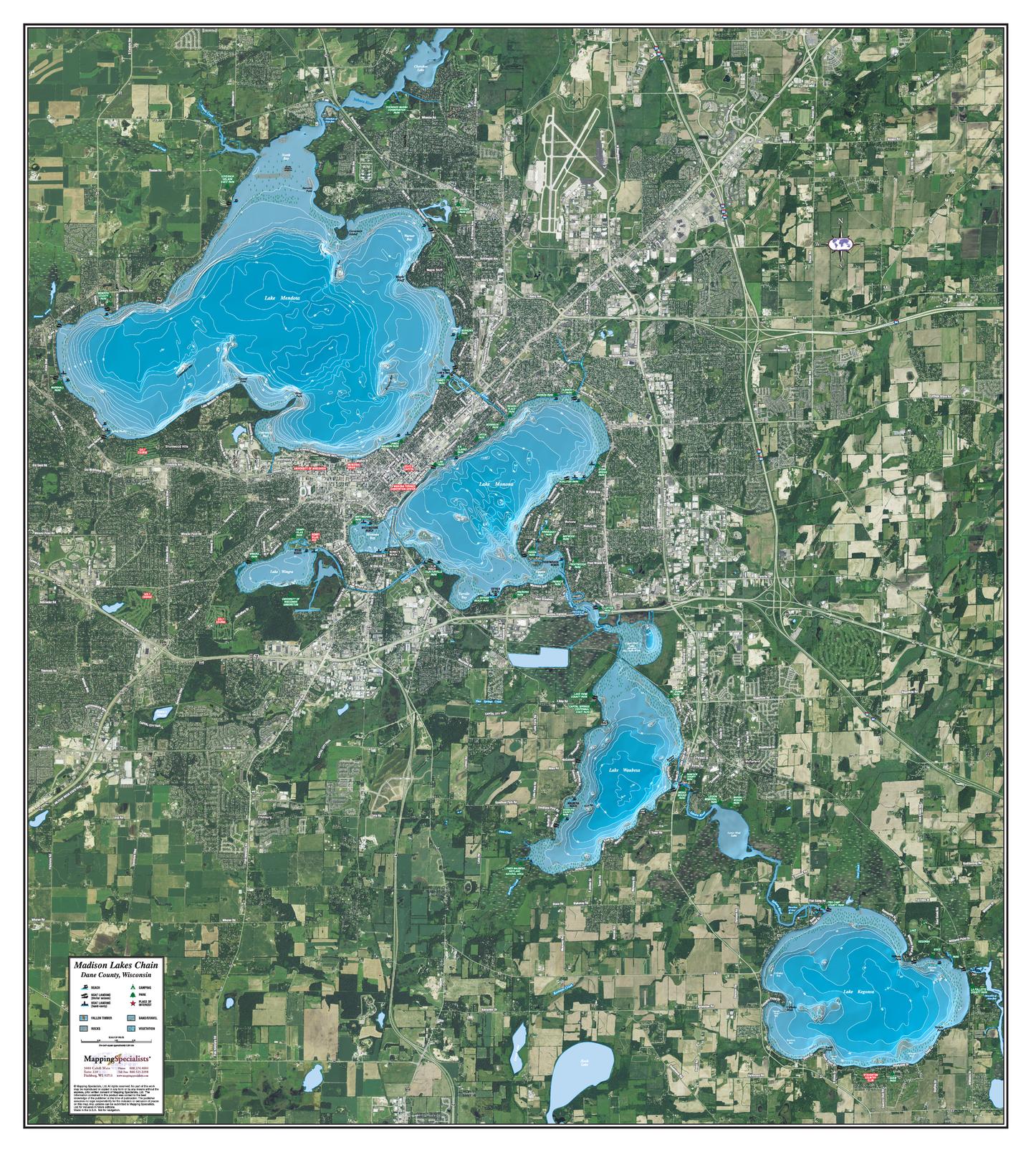
Madison Lakes Chain
Mapping Specialists
An Attractive map of the lake showing a visual 3D representation of the lake bottom. Includes boat launches, rock area and vegetation. Land area is high resolution aerial imagery.
Page Size: 30.25 x 33.5 in (765 x 851 mm)
Buy this map on MapTrove.ca or MapTrove.com
bottom of page