


MapSherpa Catalog
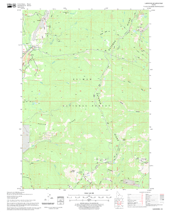
Leesburg Quadrangle, Idaho
United States Forest Service
United States Department of Agriculture Forestry Service topographical map of Leesburg, Salmon-Chalis National Forest, Idaho.
Page Size: 21.75 x 27 in (552 x 686 mm)
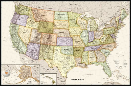
Legacy USA Wall Map
Globe Turner
Perfect for home, business, or school, this Legacy USA Wall Map combines bright, attractive colors with high-detailed cartography in an antique style. Details on this United States Wall Map include: state boundaries and capitals along with other major cities and towns; major physical features such as mountain ranges and major mountain peaks; major water features such as oceans, seas, gulfs, and rivers; the Interstate highway system and other major roads; and all National Parks as well as other large National Park Service sites. Special features include ivory-colored oceans and a black decorative border. This map of the United States uses the Albers Equal Area projection.
Page Size: 50 x 33 in (1270 x 838 mm)
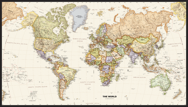
Legacy World Wall Map
Globe Turner
Perfect for home, business, or school, this Legacy World Wall Map combines bright, attractive colors with high-detailed cartography in an antique style. Details on this World Wall Map include: international boundaries and national capitals along with other major cities; major physical features such as mountain ranges, major mountain peaks, island chains, and deserts; and major water features such as oceans, seas, gulfs, and rivers. Special features include ivory-colored oceans and a black decorative border. This map of the world uses the Van Der Grinten projection.
Page Size: 50 x 28.5 in (1270 x 724 mm)
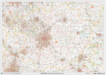
Leicester - LE - Postcode Wall Map
XYZ Maps
The Leicester Postcode Sector Wall Map shows detailed postcode sector boundaries (LE1 1, LE1 2) on a comprehensive background and is perfect for determining postcode boundaries for sales areas, planning mailshots and also an excellent reference for logistics. This wall map covers the whole of the LE Postcode Area.
Page Size: 47 x 33.25 in (1189 x 841 mm)
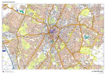
Leicester A-Z Street Map
A-Z Maps
This up-to-date A-Z street map covers Leicester and the immediate suburbs, showing the city centre, major roads, parks and pedestrian routes. Other areas included: Belgrave, Spinney Hills, Clarendon Park, Stoneygate, Braunstone, Humberstone and Evington. Includes transport symbols, car parks and points of interest.
Page Size: 33.25 x 23.5 in (841 x 594 mm)
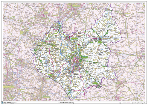
Leicestershire County Map
XYZ Maps
This is a large ceremonial county map of Leicestershire highlighting the county border, with the surrounding area faded out for excellent contrast. The map covers Ashby-de-La-Zouch, Coalville, Hinckley, Leicester, Loughborough, Lutterworth, Market Bosworth, Market Harborough and Melton Mowbray. The county map shows the latest County and Unitary Authority Boundaries, Overlaid on a Clear and Easy to Read Ordnance Survey map.
Page Size: 47 x 33.25 in (1189 x 841 mm)
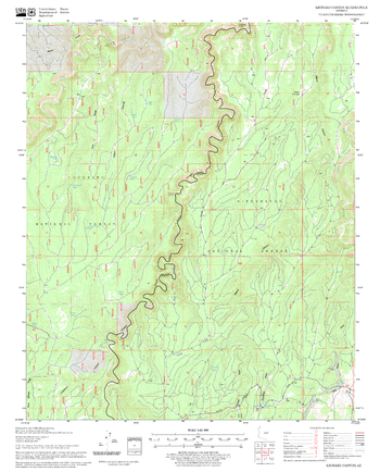
Leonard Canyon Quadrangle, Arizona
United States Forest Service
United States Department of Agriculture Forestry Service topographical map of Leonard Canyon, Coconino National Forest, Arizona.
Page Size: 21.75 x 27 in (552 x 686 mm)
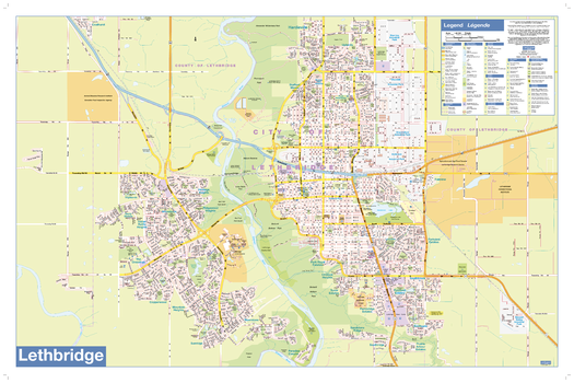
Lethbridge Wall Map - Street Detail
Lucidmap
This wall map shows highly detailed local information for the city of Lethbridge. Full street labeling along with transit information, parks, schools, churches and landmarks throughout the city are displayed.
The map has been designed in a very clear and legible manner with a traditional Canadian street map style embraced by map buyers over many years.
Page Size: 35 x 23 in (889 x 584 mm)
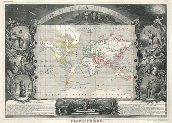
Levasseur Map of the World (1847)
Artokoloro
1847 map of the World by French map publisher Victor Levasseur. Full title: Planisphère
Page Size: 18 x 13 in (454 x 325 mm)
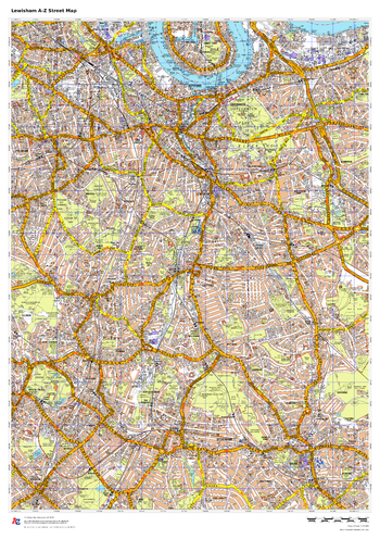
Lewisham A-Z Street Map
A-Z Maps
This up-to-date A-Z street map covers the London Borough of Lewisham, including the districts of Blackheath, Catford, Deptford, Forest Hill, Hither Green and Lewisham. Coverage also extends to parts of neighbouring areas, including Greenwich and Peckham.
Page Size: 23.5 x 33.25 in (594 x 841 mm)
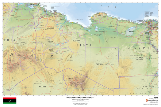
Libya
MapSherpa
This beautiful map shows physical and political features for Libya and surrounding areas. Relief shading and the use of different colours by height above sea level are both informative and attractive.
Page Size: 36 x 24 in (914 x 610 mm)

Lighthouses and Sailing Routes, Atlantic Coast (1906)
Natural Resources Canada
Contained within the 1st Edition (1906) of the Atlas of Canada is a map that shows the lighthouses and sailing routes on the Atlantic Coast. The map shows sailing routes and a table listing the distance, in miles, from Halifax, Montreal and Quebec to major ports. Although Newfoundland and Labrador was not a part of Canada in 1906, there is some data shown for this region. The lighthouses are distinguished between fixed, revolving lights, and light ships. The depth of water in the Great Lakes is indicated by contours and tints of blue. The deeper portions are shown in the darker tints, while lighter tints indicate more shallow waters.
Page Size: 24.25 x 17.25 in (612 x 433 mm)

Lighthouses and Sailing Routes, Pacific Coast (1906)
Natural Resources Canada
Contained within the 1st Edition (1906) of the Atlas of Canada is a map that shows the lighthouses, as well as sailing routes along the Pacific Coast, circa 1906. There are routes that sailing distances are given from the principal ocean ports of Canada to the other great ocean ports of the world. A table gives the distance, in miles, to Vancouver and Victoria from other major ports. The lighthouses are distinguished between fixed and revolving lights, and light ships. The depth of the water along the coast line is indicated by contours and tints of blue. The deeper portions are shown in the darker tints, while lighter tints indicate shallow waters.
Page Size: 24 x 17.25 in (609 x 434 mm)
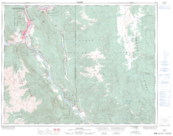
Lillooet - 92 I/12 - British Columbia
Natural Resources Canada
Canadian topographic map of Lillooet, British Columbia. NTS sheet 092I12 Edition 3.
Page Size: 32.25 x 25.5 in (815 x 642 mm)

Limits of forest trees (1906)
Natural Resources Canada
Contained within the 1st Edition (1906) of the Atlas of Canada is a map that shows the northern limits of approximately 40 different tree species in Canada, including an extension into the Northern U.S. Using green lines the map displays the northern limits of the principal trees found within the Southern Forest. Blue lines indicate the northern, and in a few incidences the southern, limits of the principal trees found within the Northern Forest. Red lines show the limits of the trees within the Cordilleran Forest. For this map, and the Atlas of Canada Forests map, the line of division between the Northern and Southern Forests has been taken as the northern limit of red and white pine. These trees are assigned to the Northern Forest, including those whose limit is south of the pine tree limits within the Southern Forest. The map also includes, rivers, major bodies of water, and a few tree types labeled in specific locations.
Page Size: 36.25 x 17.25 in (915 x 434 mm)
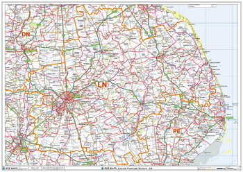
Lincoln - LN - Postcode Wall Map
XYZ Maps
The Lincoln Postcode Sector Wall Map shows detailed postcode sector boundaries (LN1 1, LN1 2) on a comprehensive background and is perfect for determining postcode boundaries for sales areas, planning mailshots and also an excellent reference for logistics. This wall map covers the whole of the LN Postcode Area.
Page Size: 47 x 33.25 in (1189 x 841 mm)
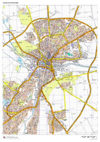
Lincoln A-Z Street Map
A-Z Maps
This up-to-date A-Z street map of Lincoln, covers Lincoln and the immediate suburbs, showing the town centre with Lincoln Cathedral and Castle. Other areas included: Boultham, Bracebridge Heath, Canwick.
Page Size: 23.5 x 33.25 in (594 x 841 mm)
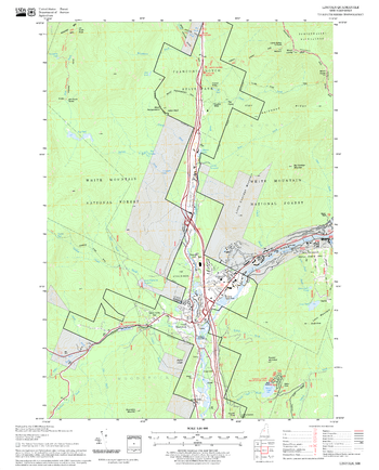
Lincoln Quadrangle, New Hampshire-Vermont
United States Forest Service
United States Forestry Service topographical map of Lincoln, New Hampshire-Vermont
Page Size: 21.75 x 27 in (552 x 686 mm)
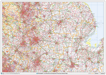
Lincolnshire & Derbyshire Postcode Sector Wall Map (S11)
XYZ Maps
The Lincolnshire & Derbyshire Postcode Sector Wall Map shows detailed postcode sector boundaries along with its associated label (LN1 1, LN1 2) on a comprehensive background and is perfect for determining postcode boundaries, for sales, logistics, planning mailshots or as a regional reference guide.
Page Size: 47 x 33.25 in (1189 x 841 mm)
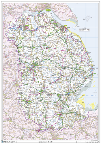
Lincolnshire County Map
XYZ Maps
This is a large ceremonial county map of Lincolnshire highlighting the county border, with the surrounding area faded out for excellent contrast. The map covers Boston, Bourne, Cleethorpes, Gainsborough, Grantham, Grimsby, Holbeach, Lincoln, Louth, Scunthorpe, Spalding and Stamford. The county map shows the latest County and Unitary Authority Boundaries, Overlaid on a Clear and Easy to Read Ordnance Survey map.
Page Size: 33.25 x 47 in (841 x 1189 mm)
No search results