


National Geographic

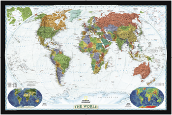
World Decorator
Bright colors and rich detail bring the world alive! Enjoy the accuracy and beauty of this world map from the cartographers at National Geographic. Created with the Winkel Tripel projection, this map reduces the distortion of land masses as they near the poles. Insets show world vegetation cover and landforms.
Page Size: 46.5 x 31.25 in (1181 x 788 mm)
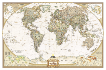
World Executive
This elegant, richly colored antique-style world map features the incredible cartographic detail that is the trademark quality of National Geographic. The map features a Winkel Tripel Projection, which reduces distortion of land masses as they near the poles. Corner inset maps feature vegetation and land use, and population density.
Page Size: 46 x 30.5 in (1166 x 773 mm)
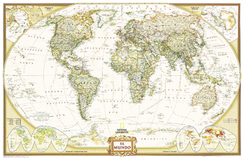
World Executive Spanish - Published 2005
National Geographic's Executive style World Map translated to Spanish features the Winkel Tripel projection to reduce distortion of land masses as they near the poles. This creates the most visually accurate representation of Earth's land-masses, versus other projections. The Classic series includes blue oceans, easy-to-read colorful boundaries, and National Geographic's proprietary fonts. Up-to-date and very detailed, with thousands of named places such as countries, oceans, major cities, geographic features. Antique executive styling. Prevailing winds and ocean currents at sea. Separate insets show the North and South Polar Regions, world vegetation and land use, and world population density.
Page Size: 39 x 25.5 in (988 x 646 mm)
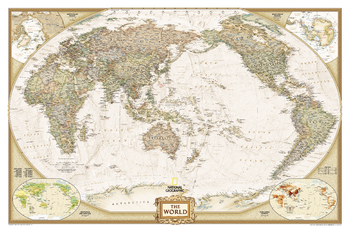
World Executive, Pacific Centered
This unique view employs a new map projection to accentuate the Pacific Rim, and shows Oceania and Asia in close proportion to their actual size on the Earth. It brings Oceania and Asia into the center of the picture, while dramatically showing the entire breadth of the Pacific Ocean. The Pacific-centered world map features antique-executive style National Geographic cartography, with political boundaries, thousands of place names, time zones, and special insets showing world vegetation and land use, and population density.
Page Size: 46 x 30.5 in (1166 x 773 mm)
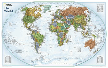
World Explorer
The colorful World Explorer map is designed using the Winkel Tripel projection, which reduces the distortion of land masses near the poles. Inset charts list largest cities by population and the largest countries by land mass and population.
Page Size: 32 x 20.25 in (813 x 511 mm)
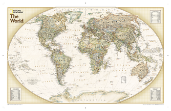
World Explorer Executive
One of our most popular and accurate world maps is now available in our rich, antique-inspired Executive style. Contains up-to-date place names.<br><br>The World Explorer Executive uses the Winkel-Tripel Map Projection, which strikes the best balance of accuracy, aesthetics, and proportion, eliminating the issue found in many other maps where Greenland appears larger than South America.<br><br>Includes accurate political boundaries and place names, time zone chart, latitude and longitude grids, and three inset tables with the world's largest countries by size and population, and the population of the world's largest urban areas.
Page Size: 33.75 x 21.75 in (853 x 551 mm)
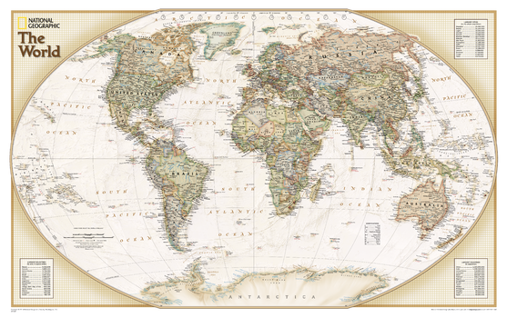
World Explorer Executive – Compact
National Geographic's World map is the standard by which all other reference maps are measured. The World map is meticulously researched and adheres to National Geographic's convention of making independent, apolitical decisions based on extensive research using multiple authoritative source.The Explorer Executive style World map uses a antique color palette, stunning shaded relief, and a subtle background grid pattern that echoes the cartographic precision that underlies all National Geographic maps. Drawn in the Winkel Tripel projection, distortions are minimized and unlike many other World maps, Greenland is show the same size as Argentina and not as the size of all of South America.Thousands of place names are carefully and artistically placed on the map to maintain legibility even in the heavily populated ares of Europe, Asia and the Middle East. Details include clearly defined international boundaries, cities, physical features, rivers, and ocean floor features. Inset charts list the largest cities by population and the largest countries by land mass and population.
Page Size: 25.5 x 16 in (646 x 406 mm)
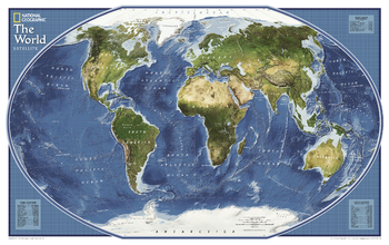
World Explorer Satellite - Published 2011
Satellite map of the world. The topography of the ocean floors is beautifully illustrated.
Page Size: 32.25 x 20.25 in (813 x 511 mm)
World Explorer – Compact
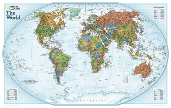
National Geographic's World map is the standard by which all other reference maps are measured. The World map is meticulously researched and adheres to National Geographic's convention of making independent, apolitical decisions based on extensive research using multiple authoritative source. The Explorer style World map uses a vibrant color palette that fills each country for easy identification, stunning shaded relief, and a light blue background grid pattern that echoes the cartographic precision that underlies all National Geographic maps. Drawn in the Winkel Tripel projection, distortions are minimized and unlike many other World maps, Greenland is show the same size as Argentina and not as the size of all of South America.Thousands of place names are carefully and artistically placed on the map to maintain legibility even in the heavily populated ares of Europe, Asia and the Middle East. Details include clearly defined international boundaries, cities, physical features, rivers, and ocean floor features. Inset charts list the largest cities by population and the largest countries by land mass and population.
Page Size: 25.5 x 16 in (646 x 406 mm)
World French - Published 2012
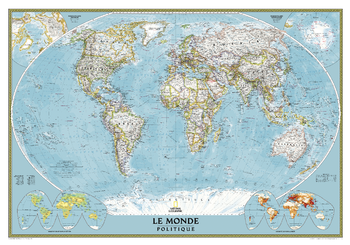
A world map in French.
Page Size: 43.75 x 30.5 in (1106 x 774 mm)
World Hemispheres
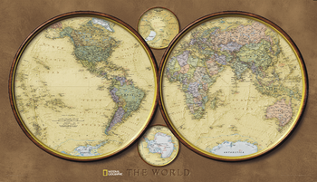
During the 1930's and 1940's, several National Geographic world maps were designed using a projection that separated the eastern and western hemispheres. We have brought back this classic view of the world with updated, modern cartography and an elegant earth-tone color palette. This new, yet fashionably retro, world map is the World Hemispheres.
Page Size: 43 x 24.75 in (1092 x 629 mm)
World Map - Published 1941
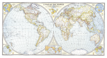
The Classic National Geographic World map of 1941. One of the last maps published prior to the bombing of Pearl Harbor, this extaordinary map shows the Eastern and Western Hemispheres, and features classic colorization to show the country borders and relief shading. A perfect complement to any world map collection.
Page Size: 42 x 22.5 in (1062 x 569 mm)
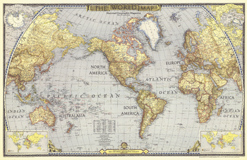
World Map - Published 1943
National Geographic published this classic world map in December 1943, in the midst of WWII. Compared to many of the other world maps by the National Geographic Society, this one had a decidedly dark cast, possibly a reflection of the tone of discouragement felt by many as the War continued on. A perfect companion to the World maps of 1951 and 1970.
Page Size: 41 x 26.5 in (1036 x 670 mm)
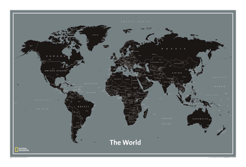
World Modern
<p>National Geographic’s World Modern wall map features clearly labeled countries, major cities and oceans for easy reference combined with a clean, contemporary design and color palette. This unique map is a convenient standard poster size (24” x 36”), perfect for home or office. All proceeds from the purchase of a National Geographic map help support the Society’s vital exploration, conservation, scientific research, and education programs.</p>
Page Size: 36.25 x 24.25 in (917 x 612 mm)
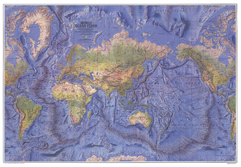
World Ocean Floor - Published 1981
This beautiful physical world map captures the Earth's lands and oceans. Stunning relief shading accentuates the ocean floor, mountain ranges, river valleys, deserts, and continental shelves in amazing detail and beauty. Published in December 1981.
Page Size: 42.5 x 29.5 in (1074 x 745 mm)
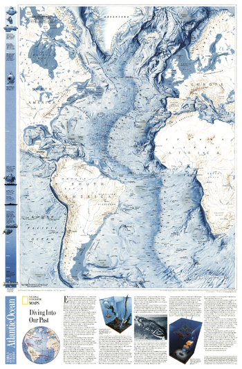
World Ocean Floor, Atlantic - Published 2001
This physical map of the Atlantic Ocean Floor shows continental shelves, fracture zones, ocean depths, and surrounding continents.
Page Size: 20.75 x 31.5 in (523 x 799 mm)
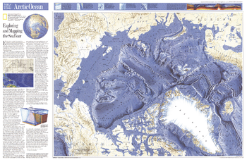
World Ocean Floors, Arctic Ocean - Published 1990
Experience the breathtaking detail of the Arctic Ocean floor with this fascinating map. Includes an explanation of the technology behind the map's amazing cartography in the article "Exploring and Mapping the Seafloor." Published in January 1990, nearly a year after the Exxon Valdez spilled an estimated 11 to 30 million U.S. gallons of crude oil into Prince William Sound, as a companion to the article "Alaska's Big Spill - Can the Wilderness Heal"
Page Size: 31.5 x 20.5 in (796 x 517 mm)
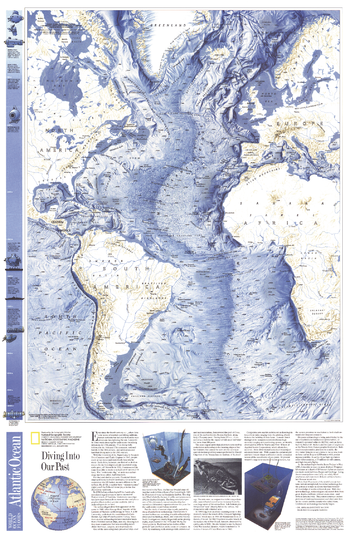
World Ocean Floors, Atlantic Ocean - Published 1990
Experience the breathtaking detail of the Atlantic Ocean floor with this fascinating map. Included on this map is the article "Diving Into Our Past" which explains the technology behind underwater archeaology. The Mediterranean Sea and parts of the South Pacific are also shown on this remarkable work which was published in January 1990 with a map of the Arctic Ocean floor.
Page Size: 20.5 x 31.5 in (519 x 795 mm)
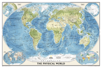
World Physical
National Geographic's World Physical - Ocean Floor map highlights the Earth's land and undersea forms with exquisite hand-painted relief. Drawn in the Winkel Tripel projection to minimize distortion of the landforms. Two corner inset maps show the Earth's crust and world climatic zones.
Page Size: 36.25 x 24.25 in (917 x 612 mm)

World Physical - Published 1994
This physical world map strikingly captures the lands and oceans of the Earth. See mountain ranges, river valleys, deserts, continental shelves, and ocean floor in amazing detail and beauty. Published in February 1994.
Page Size: 43.25 x 30 in (1093 x 756 mm)