


National Geographic

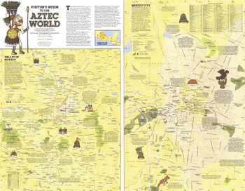
Visitors Guide to the Aztec World - Published 1980
Discover the intriguing world of the ancient Aztecs with the "Visitor's Guide to the Aztec World" map. Published in December 1980, this map appeared as a companion to the map of Mexico and Central America and two articles on the Aztecs. Filled with a wealth of information about archaeological sites and a modern map of Mexico City, this piece is perfect for travelers or those interested in the ancient civilizations.
Page Size: 25.75 x 20 in (650 x 505 mm)
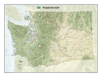
Washington
This map offers a dramatic visualization of Washington's physical geography. Land cover colorization distinguishes forests and deserts. Stunning shaded relief depicts mountains and ocean depths. The map locates and names cities, towns, islands airports, national and state parks, military bases, mountains (with peak elevations), lakes, rivers, and other natural features.
Page Size: 40.75 x 30.5 in (1031 x 770 mm)
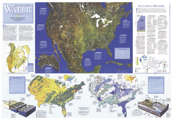
Water Precious Resource - Published 1993
The "Water: Precious Resource" map contains a wealth of information on surface water, ground water, water pollution, and water usuage. This map was published in National Geographic in November 1993 in a special issue devoted to water. A map of the United States also accompanied it.
Page Size: 43.25 x 30 in (1097 x 758 mm)
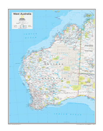
West Australia - Atlas of the World, 10th Edition
null
Page Size: 22 x 28 in (559 x 711 mm)
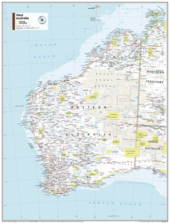
West Australia - Atlas of the World, 11th Edition
This West Australia map of political and physical can fit in any space. Showcasing the region in stunning detail with state-of-the-art cartographic techniques delivering accuracy and exceptional quality, the innovative and engaging design makes the content easily accessible and user-friendly.
Ideal for classrooms with an emphasis on teaching geography or environmental themes. The inclusion of physical features gives your students a genuine feel for how our world appears.
This map uses a bright, easy to read color palette featuring blue oceans and stunning shaded relief that has been featured on National Geographic wall maps for over 75 years. Drawn in the Azimuthal Equidistant projection, this map ensures that all points on the map are at proportionally correct distances from the center point.
This map is found in National Geographic's 11th Edition World Atlas and is now available as a stand alone product.
Page Size: 24 x 31.5 in (610 x 798 mm)
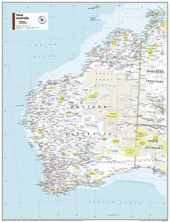
West Australia - Atlas of the World, 11th Edition - Compact
This West Australia map of political and physical can fit in any space. Showcasing the region in stunning detail with state-of-the-art cartographic techniques delivering accuracy and exceptional quality, the innovative and engaging design makes the content easily accessible and user-friendly.
Ideal for classrooms with an emphasis on teaching geography or environmental themes. The inclusion of physical features gives your students a genuine feel for how our world appears.
This map uses a bright, easy to read color palette featuring blue oceans and stunning shaded relief that has been featured on National Geographic wall maps for over 75 years. Drawn in the Azimuthal Equidistant projection, this map ensures that all points on the map are at proportionally correct distances from the center point.
This map is found in National Geographic's 11th Edition World Atlas and is now available as a stand alone product.
Page Size: 16.25 x 21.5 in (413 x 540 mm)
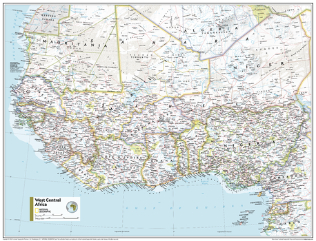
West Central Africa - Atlas of the World, 11th Edition
This West Central Africa map of physical and political features can fit in any space. Showcasing the region in stunning detail with state-of-the-art cartographic techniques delivering accuracy and exceptional quality, the innovative and engaging design makes the content easily accessible and user-friendly.
Ideal for classrooms with an emphasis on teaching geography or environmental themes. The inclusion of physical features gives your students a genuine feel for how our world appears.
This map uses a bright, easy to read color palette featuring blue oceans and stunning shaded relief that has been featured on National Geographic wall maps for over 75 years. It is drawn in the Transverse Mercator projection, which is a cylindrical map projection for nautical navigation because it represents lines of constant course.
This map is found in National Geographic's 11th Edition World Atlas and is now available as a stand alone product.
Page Size: 31.5 x 24 in (798 x 610 mm)
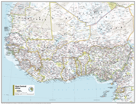
West Central Africa - Atlas of the World, 11th Edition - Compact
This West Central Africa map of physical and political features can fit in any space. Showcasing the region in stunning detail with state-of-the-art cartographic techniques delivering accuracy and exceptional quality, the innovative and engaging design makes the content easily accessible and user-friendly.
Ideal for classrooms with an emphasis on teaching geography or environmental themes. The inclusion of physical features gives your students a genuine feel for how our world appears.
This map uses a bright, easy to read color palette featuring blue oceans and stunning shaded relief that has been featured on National Geographic wall maps for over 75 years. It is drawn in the Transverse Mercator projection, which is a cylindrical map projection for nautical navigation because it represents lines of constant course.
This map is found in National Geographic's 11th Edition World Atlas and is now available as a stand alone product.
Page Size: 21.5 x 16.25 in (540 x 413 mm)
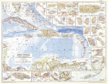
West Indies - Published 1954
This colorful map of the West Indies contains thirty inset maps providing spectacular detail of the many islands in the Caribbean. Published in March 1954 with two articles, "Jamaica - Hub of the Caribbean" and "Night Life in the Gulf Stream."
Page Size: 37.5 x 29 in (949 x 735 mm)
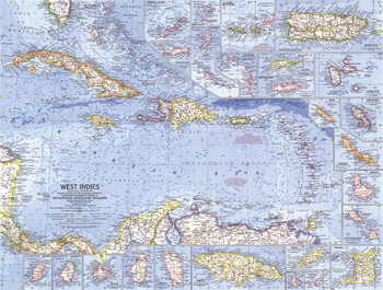
West Indies - Published 1962
This colorful and detailed map of the West Indies features inset maps of over two dozen islands, as well as ocean bathymetry, currents, and prevailing winds. Operation Bootstrap was the name given to ambitious projects which rapidly industrialized Puerto Rico in the 1950s, shifting the region's economy from agriculture to manufacturing. Published in December 1962 with the article "Puerto Rico's Seven-league Bootstraps."
Page Size: 25 x 19 in (633 x 480 mm)
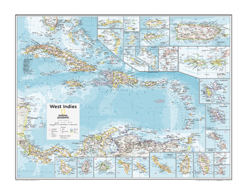
West Indies - Atlas of the World, 10th Edition
Anguilla (U.K.), Antigua and Barbuda, Aruba (Neth.), Bahamas, Barbados, Bonaire (Neth.), Cayman Is. (U.K.), Cuba, Curaçao (Neth.), Dominica, Dominican Republic, Guadeloupe (Fr.), Haiti, Jamaica, Martinique (Fr.), Montserrat (U.K.), Puerto Rico (U.S.), St. Kitts and Nevis, St. Lucia, St. Vincent and the Grenadines, Turks and Caicos Is. (U.K.), Virgin Islands (U.K. and U.S.)
Page Size: 28 x 22 in (711 x 559 mm)
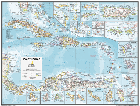
West Indies - Atlas of the World, 10th Edition - Compact
Anguilla (U.K.), Antigua and Barbuda, Aruba (Neth.), Bahamas, Barbados, Bonaire (Neth.), Cayman Is. (U.K.), Cuba, Curaçao (Neth.), Dominica, Dominican Republic, Guadeloupe (Fr.), Haiti, Jamaica, Martinique (Fr.), Montserrat (U.K.), Puerto Rico (U.S.), St. Kitts and Nevis, St. Lucia, St. Vincent and the Grenadines, Turks and Caicos Is. (U.K.), Virgin Islands (U.K. and U.S.)
Page Size: 21 x 16 in (532 x 406 mm)
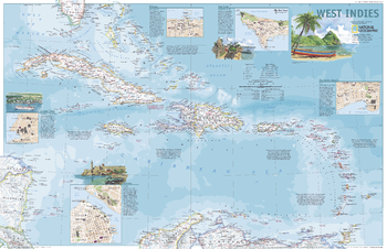
West Indies - Published 2003
This attractive political map shows the many island countries comprising the West Indies and contains inset maps and information for the cities of San Juan, Nassau, Charlotte Amalie, George Town, and Havana. Published in March 2003 as half of a two–map set with "A Traveler's Map of the West Indies."
Page Size: 31.25 x 20.25 in (791 x 510 mm)
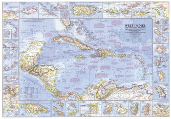
West Indies and Central America - Published 1970
This wonderfully detailed map of the West Indies and Central America includes inset maps of over thirty islands, four cities, and the Panama Canal. A particularly unique feature of this map is the splashdown points of various space missions. Published in January 1970 to accompany the article "The Netherlands Antilles: Holland in the Caribbean."
Page Size: 38 x 26.5 in (963 x 672 mm)
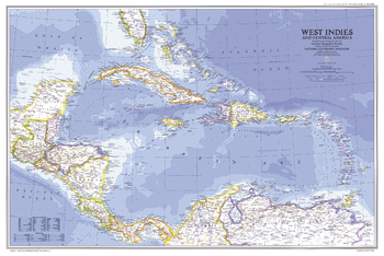
West Indies and Central America - Published 1981
In the Caribbean, the 1980s were marked by political unrest in Haiti and Grenada and economic difficulties in Jamaica. This map of the West Indies and Central America was published in February 1981 as a companion to two articles, "The U.S. Virgin Islands" and "The Caribbean: Sun, Sea, and Seething."
Page Size: 33.75 x 22.5 in (855 x 570 mm)
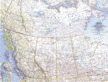
Western Canada - Published 1966
This map lets you explore the stunning landscape of Western Canada. Published in September 1966 with the article "Canadian Rockies, Lords of a Beckoning Land." Makes a fine companion to the maps of Central Canada (1963) and Eastern Canada (1967).
Page Size: 25 x 19 in (632 x 478 mm)
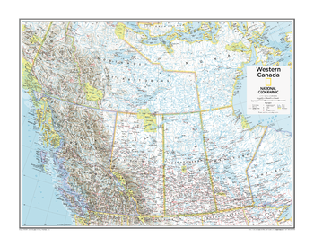
Western Canada - Atlas of the World, 10th Edition
null
Page Size: 28 x 22 in (711 x 559 mm)
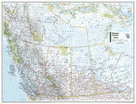
Western Canada - Atlas of the World, 11th Edition
This Western Canada map can fit in any space. Showcasing the region in stunning detail with state-of-the-art cartographic techniques delivering accuracy and exceptional quality, the innovative and engaging design makes the content easily accessible and user-friendly.
Ideal for classrooms with an emphasis on teaching geography or environmental themes. The inclusion of physical features gives your students a genuine feel for how our world appears.
This map uses a bright, easy to read color palette featuring blue oceans and stunning shaded relief that has been featured on National Geographic wall maps for over 75 years. It is drawn in the Albers Conic Equal-Area projection, which uses two standard parallels between which distortion is minimized, however scale and shape is not preserved.
Names of geographic features are carefully placed on the map to maintain legibility, and the contrasts between Canada's populated and unpopulated areas are on brilliant display.
This map is found in National Geographic's 11th Edition World Atlas and is now available as a stand alone product.
Page Size: 31.5 x 24 in (798 x 610 mm)
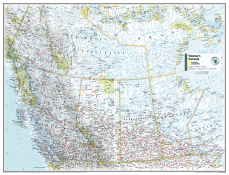
Western Canada - Atlas of the World, 11th Edition - Compact
This Western Canada map can fit in any space. Showcasing the region in stunning detail with state-of-the-art cartographic techniques delivering accuracy and exceptional quality, the innovative and engaging design makes the content easily accessible and user-friendly.
Ideal for classrooms with an emphasis on teaching geography or environmental themes. The inclusion of physical features gives your students a genuine feel for how our world appears.
This map uses a bright, easy to read color palette featuring blue oceans and stunning shaded relief that has been featured on National Geographic wall maps for over 75 years. It is drawn in the Albers Conic Equal-Area projection, which uses two standard parallels between which distortion is minimized, however scale and shape is not preserved.
Names of geographic features are carefully placed on the map to maintain legibility, and the contrasts between Canada's populated and unpopulated areas are on brilliant display.
This map is found in National Geographic's 11th Edition World Atlas and is now available as a stand alone product.
Page Size: 21.5 x 16.25 in (540 x 413 mm)
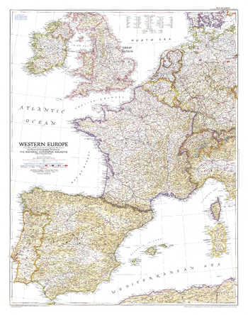
Western Europe - Published 1950
Published in December 1950, the Western Europe map is a snapshot of the region as it stood shortly after the end of the Second World War. The status of the Saar and the minor adjustments in Germany's boundary with the Netherlands, Belgium, Luxembourg, and France are provisional at the time, pending a treaty of peace with Germany.
Page Size: 30.25 x 38.25 in (762 x 967 mm)