top of page
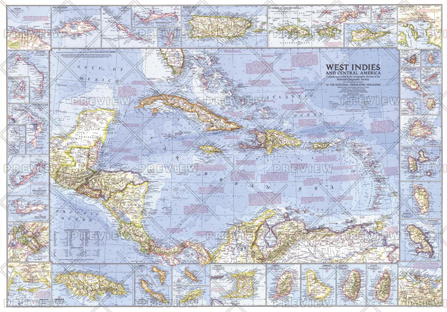
West Indies and Central America - Published 1970
National Geographic
This wonderfully detailed map of the West Indies and Central America includes inset maps of over thirty islands, four cities, and the Panama Canal. A particularly unique feature of this map is the splashdown points of various space missions. Published in January 1970 to accompany the article "The Netherlands Antilles: Holland in the Caribbean."
Page Size: 38 x 26.5 in (963 x 672 mm)
Buy this map on MapTrove.ca or MapTrove.com

bottom of page