


National Geographic

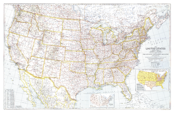
United States of America - Published 1940
Great maps communicate something about the era in which they are published. This US map, first published in National Geographic in December of 1940, is a cartographic gem. This map included two insets that tell much about the time it was published. One inset shows the population shift between 1930 and 1940, following the devastation of the droughts of the 1930s. Another inset shows the Army Service Command Areas and Naval Districts as the US prepared to enter WWII. Any map collector will delight in the balance between features and extraordinary detail.
Page Size: 41.5 x 27.25 in (1053 x 690 mm)
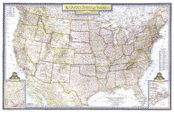
United States of America - Published 1946
This beautiful United States map was published in the July, 1946 National Geographic Magazine. The map shows all the major highways of the time, and is rich in detail and cartographic excellence. An interesting inset shows the proposed area in which the as yet unlocated United Nations would find its permanent home.
Page Size: 41.25 x 27 in (1044 x 685 mm)
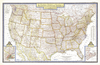
United States of America - Published 1951
Beautiful cartography and attention to detail are the hallmarks of this beautiful United States map, first published in the June, 1951. The map shows all the major highways of the time, along with a key to national parks and monuments in the US and provincial parks in southern Canada. A perfect companion to the world map published in December of the same year.
Page Size: 42 x 27.5 in (1063 x 697 mm)
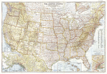
United States of America - Published 1956
Stunning cartography, superb detail, and new insets for the Territories of Alaska and Hawaii make this United States map a classic. Published in September of 1956, prior to the statehood of Alaska and Hawaii.
Page Size: 42 x 29 in (1061 x 734 mm)
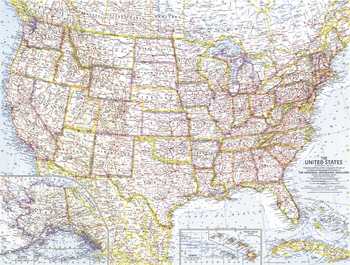
United States of America - Published 1961
The first United States map published by National Geographic following the statehood of Alaska and Hawaii. This map also shows the beginnings of the Freeway system that soon became the Interstate Highway system. Published in July 1961.
Page Size: 25 x 19 in (633 x 480 mm)
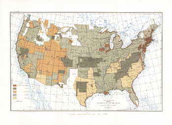
United States of America - Published 1892
Most cartographers will tell you that a map is only as good as the source information from which it is gathered. This United States map, first published in March of 1892, shows the US with an overlay describing the relative quality of source maps, or "Mother Maps" available at that time for various sections of the country. The map was painstakingly compiled by mapping pioneer Henry Gannett of the US Geological Survey.
Page Size: 17.75 x 13 in (451 x 328 mm)
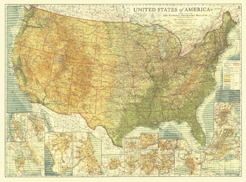
United States of America - Published 1923
Long before Interstate highways criss-crossed the US, the nation was threaded together by highways with names like Lakes-to-Gulf Highway and King of Trails. Spectacular detail and artistry come together in this map--the first US map published by National Geographic. This beautiful US map, published in 1923, is a cartographic time capsule, and a must-have for any map collector.
Page Size: 38 x 28 in (960 x 709 mm)
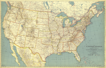
United States of America - Published 1933
This beautiful US map, first published in May of 1933, accompanied a National Geographic article entitled, "How the United States Grew." Perhaps a sign of the times, the cartographers employed decidedly muted tones for the map. Wonderful typography and incredible attention to detail make this a map that is perfect for any collection.
Page Size: 40.75 x 26.25 in (1033 x 665 mm)
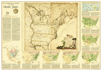
United States, Territorial Growth - Published 2000
The centerpiece of this fascinating collection of maps is a reproduction of a 1784 map by Connecticut engraver Abel Buell. That map presents, as though settled, an issue that threatened to pull the new nation apart: Who controlled the West - the area beyond the Appalachians? An excellent overview describing the issues, conflicts, and opportunities that were at the center of how land was acquired, usurped, and annexed as the United States took form. Includes maps that show Europe Claims in North America ca. 1750, A New Nation on Stage 1787, Expanding West of the Mississippi 1803, Coming of Age 1821, Coast to Coast 1850, The Union Holds 1877, and the Fifty States Today.
Page Size: 43.25 x 30.25 in (1095 x 765 mm)
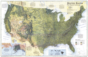
United States, the Physical Landscape - Published 1996
A spectacular physical features portrait of the United States and look at the physical forces that have shaped its landscape. Published in October 1996 as a companion to "Federal Lands in the Fifty States."
Page Size: 31.25 x 20.5 in (793 x 518 mm)
Universe: Vast and Expanding - Atlas of the World, 10th Edition
null
Page Size: 28 x 22 in (711 x 559 mm)

Universe: Vast and Expanding - Atlas of the World, 11th Edition
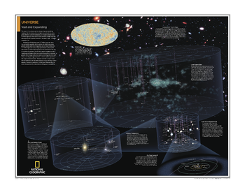
The extent of the universe and its ultimate shape are tantalizing mysteries. But the universe that we might one day be able to chart, given sufficiently powerful instruments, is thought to extend about 45 billion light-years from Earth in every direction. Matter may well exist beyond, but a physical constraint - the speed of light - renders it just outside our reach.
Explore the universe with this gorgeous and informative map! This map of the universe uses graphic leaps of scales to show how our solar system fits within the vastness of the universe. From our solar system, made up of our sun and its eight planets, our neighborhood (stretching 20 light years in all directions), our galactic realm, our local group, to the entirety of the known universe itself, this map offers a compelling and comprehensive look into the sheer size of existence itself.
This map is an attractive product for the budding astronomer. It makes an essential companion to Milky Way: Earth's Galactic Home.
This map is found in National Geographic's 11th Edition World Atlas and is now available as a stand alone product.
Page Size: 31.5 x 24 in (798 x 610 mm)

Universe: Vast and Expanding - Atlas of the World, 11th Edition - Compact
The extent of the universe and its ultimate shape are tantalizing mysteries. But the universe that we might one day be able to chart, given sufficiently powerful instruments, is thought to extend about 45 billion light-years from Earth in every direction. Matter may well exist beyond, but a physical constraint - the speed of light - renders it just outside our reach.
Explore the universe with this gorgeous and informative map! This map of the universe uses graphic leaps of scales to show how our solar system fits within the vastness of the universe. From our solar system, made up of our sun and its eight planets, our neighborhood (stretching 20 light years in all directions), our galactic realm, our local group, to the entirety of the known universe itself, this map offers a compelling and comprehensive look into the sheer size of existence itself.
This map is an attractive product for the budding astronomer. It makes an essential companion to Milky Way: Earth's Galactic Home.
This map is found in National Geographic's 11th Edition World Atlas and is now available as a stand alone product.
Page Size: 21.5 x 16.25 in (540 x 413 mm)
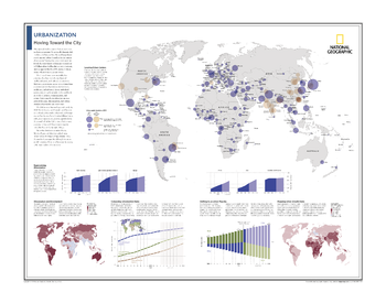
Urbanization: Moving Toward the City - Atlas of the World, 10th Edition
Locating Urban Centers; Regionalizing Urbanization; Urbanization and Development; Comparing Urbanization Rates; Shifting to an Urban Majority; Mapping Urban Growth Rates
Page Size: 28 x 22 in (711 x 559 mm)
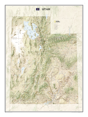
Utah
The Utah State Wall Map, part of our growing series of State Wall Maps, depicts Utah's diverse terrain and vegetation. Contains hundreds of place names and precise locations of cities, major roadways and railways, airports, federal and state parks and protected areas, mountain ranges and prominent peaks, military installations, major lakes, rivers and reservoirs, and other geographic features.
Page Size: 30.5 x 40.75 in (770 x 1031 mm)
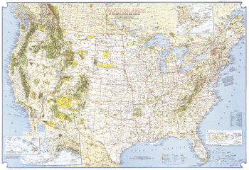
Vacationlands of the United States and Canada - Published 1966
Discover the abundance of diverse recreational sites that the United States and Canada have to offer with this detailed map. Published in 1966, this map and its companion "Enjoying Our Scenic Treasures and Historical Sites" make up the two-piece set that accompanied four articles on the United States National Parks.
Page Size: 38 x 26 in (962 x 659 mm)
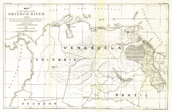
Valley of the Orinoco River - Published 1896
This black and white antique map of the Valley of the Orinoco River was published in February 1896. Its full title is "Map of the Valley of the Orinoco River, Showing the Extent of Territory Drained by that Waterway and the Bearing it has on the Venezuelan Question." Of particular note on this map is the proposed Panama Canal.
Page Size: 17 x 11.25 in (430 x 281 mm)
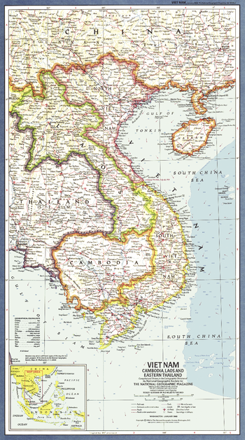
Vietnam, Cambodia, Laos and Eastern Thailand - Published 1965
This map of Viet Nam and its western neighbors is presented in classic National Geographic style. Published in January 1965, which marked the beginning of heavy US troop deployment to Viet Nam. The map index was published separately with the article "American Special Forces in Action in Viet Nam." A fine companion for the 1967 map of the same region.
Page Size: 11.5 x 20.5 in (288 x 518 mm)
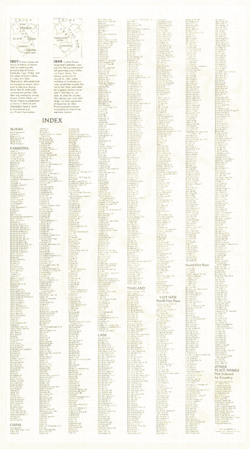
Vietnam, Cambodia, Laos and Eastern Thailand Index - Published 1965
This is the index for the map of Viet Nam, Cambodia, Laos and Eastern Thailand which appeared in January 1965 issue of National Geographic with the article "American Special Forces in Action in Viet Nam." An extensive index, it also includes historical information about French Indochina.
Page Size: 11.5 x 20.5 in (288 x 518 mm)
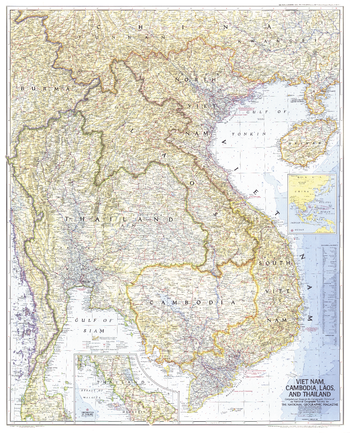
Vietnam, Cambodia, Laos, and Thailand - Published 1967
This map demonstrates the cartographic excellence for which National Geographic is known. Published in February 1967 with the article "Behind the Headlines in Viet Nam." A great companion to the 1965 map of the same region.
Page Size: 31.5 x 39 in (800 x 990 mm)