top of page
United States of America - Published 1892
National Geographic
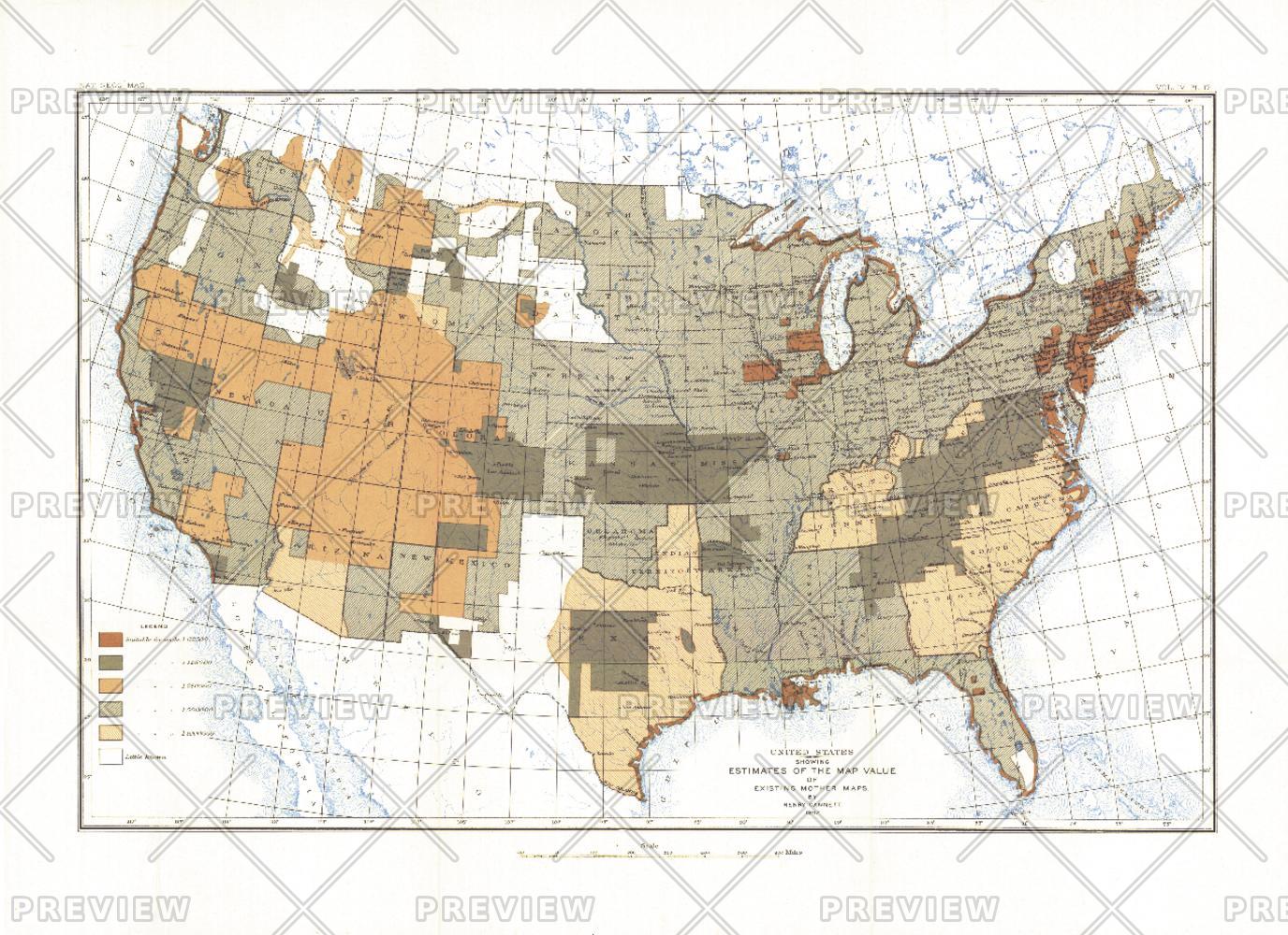
Most cartographers will tell you that a map is only as good as the source information from which it is gathered. This United States map, first published in March of 1892, shows the US with an overlay describing the relative quality of source maps, or "Mother Maps" available at that time for various sections of the country. The map was painstakingly compiled by mapping pioneer Henry Gannett of the US Geological Survey.
Page Size: 17.75 x 13 in (451 x 328 mm)
Buy this map on MapTrove.ca or MapTrove.com
bottom of page