


National Geographic

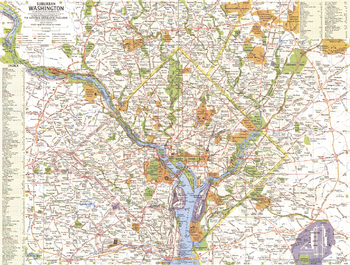
Suburban Washington - Published 1964
This map of surburban Washington, D.C. offers a detailed look at the national capital of the United States and its suburbs. Published in December 1964, this map and its companion "Tourist Washington" make up the two-piece set that accompanied the article "Washington: The City Freedom Built."
Page Size: 20 x 15.25 in (507 x 384 mm)
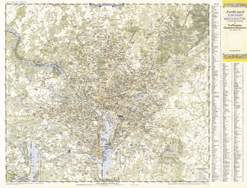
Suburban Washington DC, Maryland & Virginia - Published 1948
A Pocket Map of Suburban Washington, D.C., Maryland and Virgina is half of a two-map set published in September 1948 with the article "American Masters in the National Gallery." Detailed and indexed, this map also contains an inset of the Potomac River south to Mount Vernon. Its companion map, "A Pocket Map of Central Washington, District of Columbia," appeared in the same issue.
Page Size: 31.75 x 24.25 in (804 x 611 mm)
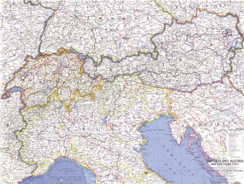
Switzerland, Austria, and Northern Italy - Published 1965
This striking relief map of the Alps was published in September 1965 in conjunction with a map of Switzerland, Austria, and Northern Italy. The film "The Sound of Music" was released earlier the same year, sparking public interest in the magnificent landscape of Austria, and was perhaps the impetus behind the printing of this particular map.
Page Size: 25 x 19 in (631 x 478 mm)

Teammates in Mankinds Greatest Adventure - Published 1973
Space enthusiasts will appreciate this Pierre Mion poster depicting all of the Apollo astronauts in their space suits and equipment on a lunar landscape. Accurate in every detail.
Page Size: 34 x 22.5 in (862 x 569 mm)
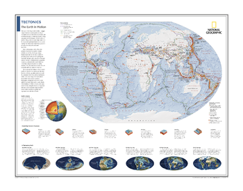
Tectonics: The Earth in Motion - Atlas of the World, 10th Edition
Plate Boundaries, Earthquakes, Volcanoes, and Hot Spots; Earth's Interior; Visualizing Tectonic Processes; A Fluctuating Earth
Page Size: 28 x 22 in (711 x 559 mm)
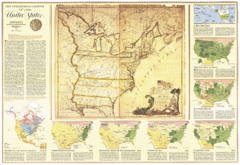
Territorial Growth of the United States - Published 1987
Explore the growth of the United States from its thirteen original colonies to its present range. This map features eight individual insets higlighting various historical periods, and also contains an antique 1783 map of the the country. Published in September 1987 as half of a two–map set with the "United States" map.
Page Size: 42.5 x 29.25 in (1077 x 742 mm)
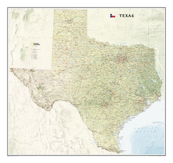
Texas
The Texas State Wall Map, part of our growing series of State Wall Maps, depicts Texas' diverse terrain and vegetation. Contains hundreds of place names and precise locations of cities, major roadways and railways, airports, federal and state parks and protected areas, mountain ranges and prominent peaks, ocean bathymetry, military installations, major lakes, rivers and reservoirs, and other geographic features.
Page Size: 41 x 38.75 in (1037 x 980 mm)
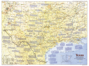
Texas - Published 1986
This map of Texas, the second largest state in the United States, includes information about its major cities and notes about key sites during its exciting history. Published in March 1986 as part of the "Making of America" series.
Page Size: 27.25 x 20.5 in (690 x 518 mm)
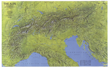
The Alps - Published 1985
This gorgeous relief map of the Alps, bold in color and rich in detail, paints a striking portrait of some of the most storied and spectacular mountain vistas in the world. Published in April 1985 as part of a two–map set with "The Traveler's Map of the Alps."
Page Size: 36 x 22.5 in (913 x 568 mm)
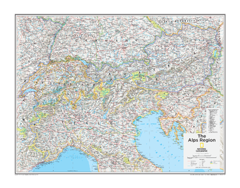
The Alps Region - Atlas of the World, 10th Edition
Austria, Slovenia, Switzerland
Page Size: 28 x 22 in (711 x 559 mm)
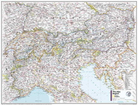
The Alps Region - Atlas of the World, 11th Edition
This Alps area map of physical and political features can fit in any space. Showcasing the mountainous region in stunning detail with state-of-the-art cartographic techniques delivering accuracy and exceptional quality, the innovative and engaging design makes the content easily accessible and user-friendly.
Ideal for classrooms with an emphasis on teaching geography or environmental themes. The inclusion of physical features gives your students a genuine feel for how our world appears.
This map uses a bright, easy to read color palette featuring blue oceans and stunning shaded relief that has been featured on National Geographic wall maps for over 75 years. It is drawn in the Albers Conic Equal-Area projection, which uses two standard parallels between which distortion is minimized, however scale and shape is not preserved.
Names of geographic features are carefully placed on the map to maintain legibility. A list of cantons of Switzerland and their capitals add details to this classic map.
This map is found in National Geographic's 11th Edition World Atlas and is now available as a stand alone product.
Page Size: 31.5 x 24 in (798 x 610 mm)
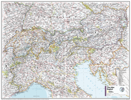
The Alps Region - Atlas of the World, 11th Edition - Compact
This Alps area map of physical and political features can fit in any space. Showcasing the mountainous region in stunning detail with state-of-the-art cartographic techniques delivering accuracy and exceptional quality, the innovative and engaging design makes the content easily accessible and user-friendly.
Ideal for classrooms with an emphasis on teaching geography or environmental themes. The inclusion of physical features gives your students a genuine feel for how our world appears.
This map uses a bright, easy to read color palette featuring blue oceans and stunning shaded relief that has been featured on National Geographic wall maps for over 75 years. It is drawn in the Albers Conic Equal-Area projection, which uses two standard parallels between which distortion is minimized, however scale and shape is not preserved.
Names of geographic features are carefully placed on the map to maintain legibility. A list of cantons of Switzerland and their capitals add details to this classic map.
This map is found in National Geographic's 11th Edition World Atlas and is now available as a stand alone product.
Page Size: 21.5 x 16.25 in (540 x 413 mm)
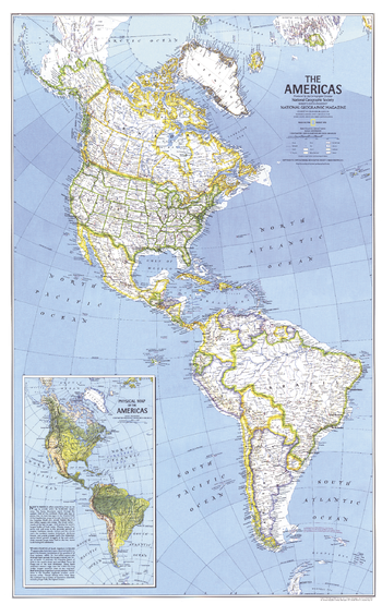
The Americas - Published 1979
Published in August 1979 with the article "Mysteries of Bird Migration," this map is half of a two-part feature on bird migration in the Americas. An inset physical map of the Americas brings to life the diverse geography of these two continents.
Page Size: 22.75 x 36 in (575 x 910 mm)
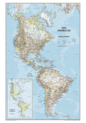
The Americas Classic
This map of North America and South America shows political boundaries, major cities, and physical map inset of the area.
Page Size: 26 x 37 in (660 x 940 mm)
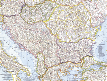
The Balkans - Published 1962
This map of the Balkans shows Yugoslavia a year before its name was changed to the "Socialist Federal Republic of Yugoslavia", and features a strong border design separating communist from non-communist countries. Published in February 1962 with the article "Yugoslavia's Window on the Adriatic."
Page Size: 25 x 19 in (631 x 478 mm)
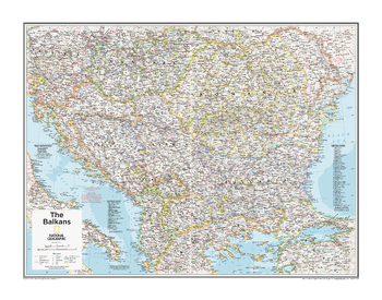
The Balkans - Atlas of the World, 10th Edition
Albania, Bosnia and Herzegovina, Bulgaria, Croatia, Hungary, Kosovo, Macedonia, Moldova, Montenegro, North Kosovo, Romania, Serbia, Slovenia, Transdniestria
Page Size: 28 x 22 in (711 x 559 mm)
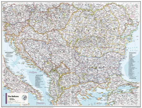
The Balkans - Atlas of the World, 11th Edition
This Balkans area map of physical and political features can fit in any space. Showcasing the region in stunning detail with state-of-the-art cartographic techniques delivering accuracy and exceptional quality, the innovative and engaging design makes the content easily accessible and user-friendly.
Ideal for classrooms with an emphasis on teaching geography or environmental themes. The inclusion of physical features gives your students a genuine feel for how our world appears.
This map uses a bright, easy to read color palette featuring blue oceans and stunning shaded relief that has been featured on National Geographic wall maps for over 75 years. It is drawn in Conic projection, in which an area of the earth is projected onto a cone whose vertex is usually above one of the poles, then unrolled onto a flat surface.
Names of geographic features are carefully placed on the map to maintain legibility. Lists of administrative units within the Balkan countries add details to this classic map.
This map is found in National Geographic's 11th Edition World Atlas and is now available as a stand alone product.
Page Size: 31.5 x 24 in (798 x 610 mm)
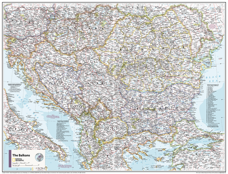
The Balkans - Atlas of the World, 11th Edition - Compact
This Balkans area map of physical and political features can fit in any space. Showcasing the region in stunning detail with state-of-the-art cartographic techniques delivering accuracy and exceptional quality, the innovative and engaging design makes the content easily accessible and user-friendly.
Ideal for classrooms with an emphasis on teaching geography or environmental themes. The inclusion of physical features gives your students a genuine feel for how our world appears.
This map uses a bright, easy to read color palette featuring blue oceans and stunning shaded relief that has been featured on National Geographic wall maps for over 75 years. It is drawn in Conic projection, in which an area of the earth is projected onto a cone whose vertex is usually above one of the poles, then unrolled onto a flat surface.
Names of geographic features are carefully placed on the map to maintain legibility. Lists of administrative units within the Balkan countries add details to this classic map.
This map is found in National Geographic's 11th Edition World Atlas and is now available as a stand alone product.
Page Size: 21.5 x 16.25 in (540 x 413 mm)
The Balkans Classic
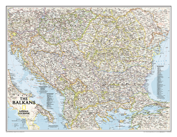
The Countries of the Balkans wallmap features thousands of place-names, political boundaries, national parks, and major infrastructure networks such as roads, canals, ferry routes, and railroads. The region's diverse terrain is detailed through shaded relief, coastal bathymetry, and symbols for water features and other landforms. Elevations of major peaks as well as depth soundings are expressed in meters.<br><br>The map covers Albania, Austria, Bosnia and Herzegovina, Bulgaria, Croatia, Hungary, Kosovo, Macedonia, Moldova, Montenegro, Romania, Slovenia, as well as the outlying border countries of Greece, Italy, Slovakia, Serbia, Turkey and Ukraine.<br><br>It also includes listings for the counties of Hungary and Romania along with their respective capitals and the administrative divisions of Bosnia and Herzegovina.
Page Size: 30.25 x 23.5 in (768 x 597 mm)
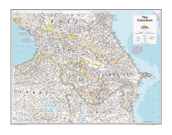
The Caucasus - Atlas of the World, 10th Edition
Abkhazia, Armenia, Azerbaijan, Georgia, Nagorno-Karabakh, South Ossetia
Page Size: 28 x 22 in (711 x 559 mm)