


National Geographic

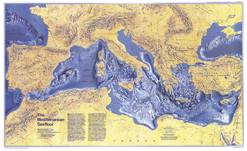
Mediterranean Seafloor - Published 1982
This distinctive physical map of the Mediterranean Seafloor provides stunning detail of submarine terrain, such as abyssal plains, troughs, valleys, basins, and countless seamounts. Published in December 1982 as a companion to the "Historic Mediterranean, 800 BC to AD 1500" map and three articles on the Mediterranean Sea.
Page Size: 37 x 22.75 in (935 x 573 mm)
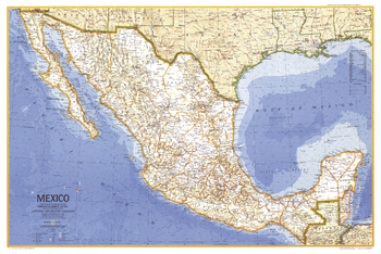
Mexico - Published 1973
This map of Mexico is a classic example of National Geographic cartography, demonstrating crisp clarity and detail. Published in May 1973 to accompany the article "Mexico, the City That Founded a Nation" and an additional map of Central America.
Page Size: 34.25 x 23 in (867 x 581 mm)
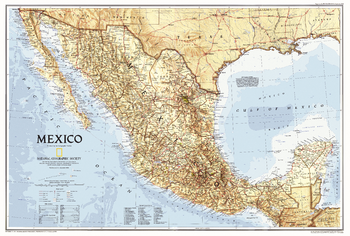
Mexico - Published 1994
This attractive Mexico map features national parks and striking ocean bathymetry. Published in September 1994, this map accompanied a traveler's map of Mexico and the article "The Sonoran Desert: Anything But Empty."
Page Size: 30.25 x 20.5 in (763 x 514 mm)
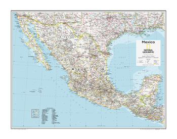
Mexico - Atlas of the World, 10th Edition
null
Page Size: 28 x 22 in (711 x 559 mm)
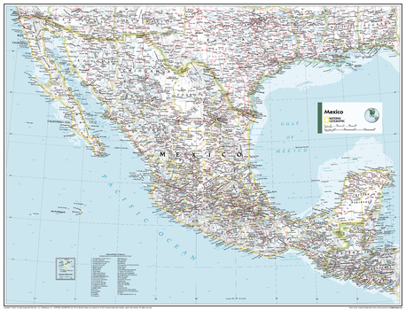
Mexico - Atlas of the World, 11th Edition
This Mexico map of physical and political features can fit in any space. Showcasing the country and surrounding regions in stunning detail with state-of-the-art cartographic techniques delivering accuracy and exceptional quality, the innovative and engaging design makes the content easily accessible and user-friendly.
Ideal for classrooms with an emphasis on teaching geography or environmental themes. The inclusion of physical features gives your students a genuine feel for how our world appears.
This map uses a bright, easy to read color palette featuring blue oceans and stunning shaded relief that has been featured on National Geographic wall maps for over 75 years. It is drawn in the Albers Conic Equal-Area projection, which uses two standard parallels between which distortion is minimized, however scale and shape is not preserved.
Names of geographic features are carefully placed on the map to maintain legibility, and an inset of Guadalupe Island is included.
This map is found in National Geographic's 11th Edition World Atlas and is now available as a stand alone product.
Page Size: 31.5 x 24 in (798 x 610 mm)
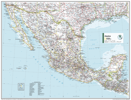
Mexico - Atlas of the World, 11th Edition - Compact
This Mexico map of physical and political features can fit in any space. Showcasing the country and surrounding regions in stunning detail with state-of-the-art cartographic techniques delivering accuracy and exceptional quality, the innovative and engaging design makes the content easily accessible and user-friendly.
Ideal for classrooms with an emphasis on teaching geography or environmental themes. The inclusion of physical features gives your students a genuine feel for how our world appears.
This map uses a bright, easy to read color palette featuring blue oceans and stunning shaded relief that has been featured on National Geographic wall maps for over 75 years. It is drawn in the Albers Conic Equal-Area projection, which uses two standard parallels between which distortion is minimized, however scale and shape is not preserved.
Names of geographic features are carefully placed on the map to maintain legibility, and an inset of Guadalupe Island is included.
This map is found in National Geographic's 11th Edition World Atlas and is now available as a stand alone product.
Page Size: 21.5 x 16.25 in (540 x 413 mm)
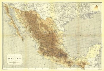
Mexico - Published 1911
National Geographic's first map of Mexico, this fine work was created by Scottish cartographer and geographer John George Bartholomew. Produced in May 1911, this map accompanied the article "Our Neighbor, Mexico" and features altitude shading to bring Mexico's geography to life.
Page Size: 25.25 x 17.5 in (638 x 439 mm)
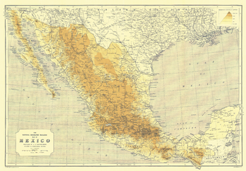
Mexico - Published 1914
Published in May 1914, only three years after National Geographic's first map of Mexico, this work shows the transportation changes taking place. An ambitious railroad project was underway on the gulf coast, while similar railroad expansions were taking place in other regions. This map appeared with three articles on Mexico including "Mexico and Mexicans."
Page Size: 25.25 x 17.5 in (635 x 440 mm)
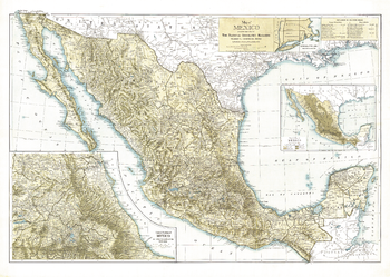
Mexico - Published 1916
Distinctive in its muted earth tones, this attractive map of Mexico, published in July 1916, features a physical map of the country as well as an inset of the central portion at twice the scale of the main map. A wonderful collector's item or companion map to the Mexico maps of 1911 and 1914.
Page Size: 30 x 21.5 in (761 x 540 mm)
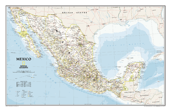
Mexico Classic
Our most detailed wall map of Mexico. Features thousands of place names, accurate political boundaries, national parks including Cumbres de Monterrey National Park, biosphere reserves including El Vizcaino Biosphere Reserve, archeological sites including the ruins of the Yucatán Peninsula, and major infrastructure networks such as roads, canals, ferry routes, and railroads. Mexico's diverse terrain is detailed through accurate shaded relief, coastal bathymetry, and symbolism for water features and other land forms. Elevations of major peaks are expressed in both feet and meters, depth soundings are expressed in fathoms.
Page Size: 34.75 x 23 in (883 x 581 mm)
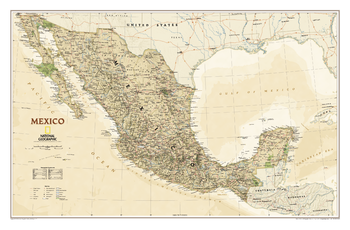
Mexico Executive
Our most detailed wall map of Mexico, updated with National Geographic's rich, antique-inspired Executive styling. Features thousands of place names, accurate political boundaries, national parks including Cumbres de Monterrey National Park, biosphere reserves including El Vizcaino Biosphere Reserve, archeological sites including the ruins of the Yucatán Peninsula, and major infrastructure networks such as roads, canals, ferry routes, and railroads. Mexico's diverse terrain is detailed through accurate shaded relief, coastal bathymetry, and symbolism for water features and other land forms. Elevations of major peaks are expressed in both feet and meters, depth soundings are expressed in fathoms.
Page Size: 34.5 x 22.75 in (876 x 575 mm)
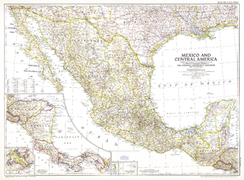
Mexico and Central America - Published 1953
This map is unique in that it combines Mexico and Central America, showing the expansion of transportation in the region as roads and parts of the Pan American Highway were being built. At the time of this publication in March 1953, many regions of Central America relied on air travel as the principal means of modern transportation. Honduras in particular had more airports that roadways.
Page Size: 37 x 27.25 in (937 x 690 mm)
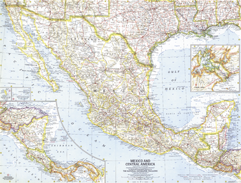
Mexico and Central America - Published 1961
This map of Mexico and Central America was created in the same month that Hurricane Hattie struck the coast of British Honduras (now Belize) and nearly destroyed Belize City. The capital was moved further inland to Belmopan in 1970. This map contains insets of the islands of Guadalupe and Revilla Gigedo, as well as the Panama Canal Zone. Published in October 1961.
Page Size: 25 x 19 in (631 x 478 mm)
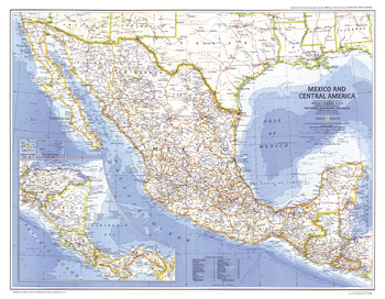
Mexico and Central America - Published 1980
The magnificent Aztec civilization left an abundance of temples, pyramids, and ruins throughout Mexico and parts of Guatemala. This map of Mexico and Central America was published in December 1980 as a companion to the "Visitor's Guide to the Aztec World" map and two articles on the Aztecs.
Page Size: 25.75 x 20 in (650 x 505 mm)
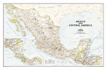
Mexico and Central America - Published 2008
As compared with our separate maps of Mexico and Central America , this map provides a contextual view of the region, and includes political boundaries, place names, waterways, major roads, parks and preserves, shaded relief, and more.
Page Size: 34.75 x 22.75 in (876 x 575 mm)
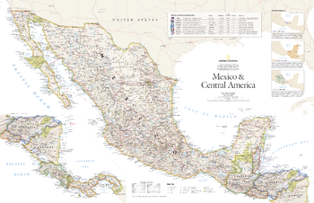
Mexico and Central America - Published 2007
This vibrant political map of Mexico and Central America was published in August 2007 as half of a two-map set with a physical map of the country. Features country and state boundaries, cities, highways, airports, national parks, and information about each country including Guatemala, Belize, El Salvador, Honduras, Nicaragua, Costa Rica, and Panama.
Page Size: 31.25 x 20.25 in (790 x 511 mm)
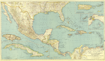
Mexico, Central America and the West Indies - Published 1934
Published in December 1934, this map of Mexico, Central America and the West Indies accompanied three articles on Mexico and the West Indies including "Hunting Useful Plants in the Caribbean." Broad in its scope of the region, this map includes inset maps of the isthmus of Panama and several major islands.
Page Size: 40.5 x 23.75 in (1026 x 602 mm)
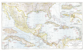
Mexico, Central America and the West Indies - Published 1939
The map of Mexico, Central America and the West Indies published in National Geographic Magazine in December 1939 accompanied the article "Puerto Rico: Watchdog of the Caribbean." A wealth of historical notes dot this map, including the dates of the the founding of many cities, the explorers who named them, Aztec and Maya sites, and more.
Page Size: 41.5 x 25 in (1053 x 634 mm)
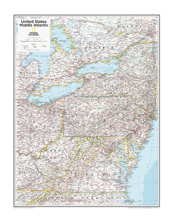
Middle Atlantic U.S. - Atlas of the World, 10th Edition
D.C., Delaware, Maryland, New Jersey, New York, Pennsylvania, Virginia, West Virginia
Page Size: 22 x 28 in (559 x 711 mm)
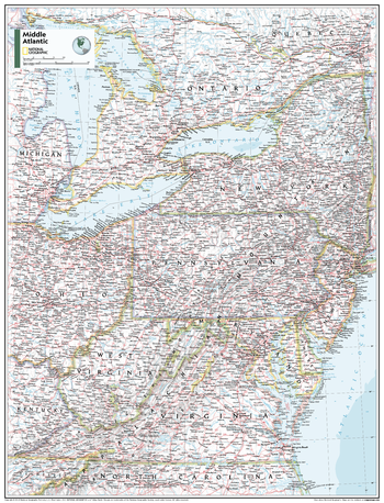
Middle Atlantic U.S. - Atlas of the World, 11th Edition
This Mid-Atlantic USA map of physical and political features can fit in any space. Showcasing the region in stunning detail with state-of-the-art cartographic techniques delivering accuracy and exceptional quality, the innovative and engaging design makes the content easily accessible and user-friendly.
Ideal for classrooms with an emphasis on teaching geography or environmental themes. The inclusion of physical features gives your students a genuine feel for how our world appears.
This map uses a bright, easy to read color palette featuring blue oceans and stunning shaded relief that has been featured on National Geographic wall maps for over 75 years. It is drawn in the Albers Conic Equal-Area projection, which uses two standard parallels between which distortion is minimized, however scale and shape are not preserved.
This map is found in National Geographic's 11th Edition World Atlas and is now available as a stand alone product.
Page Size: 24 x 31.5 in (610 x 798 mm)