top of page
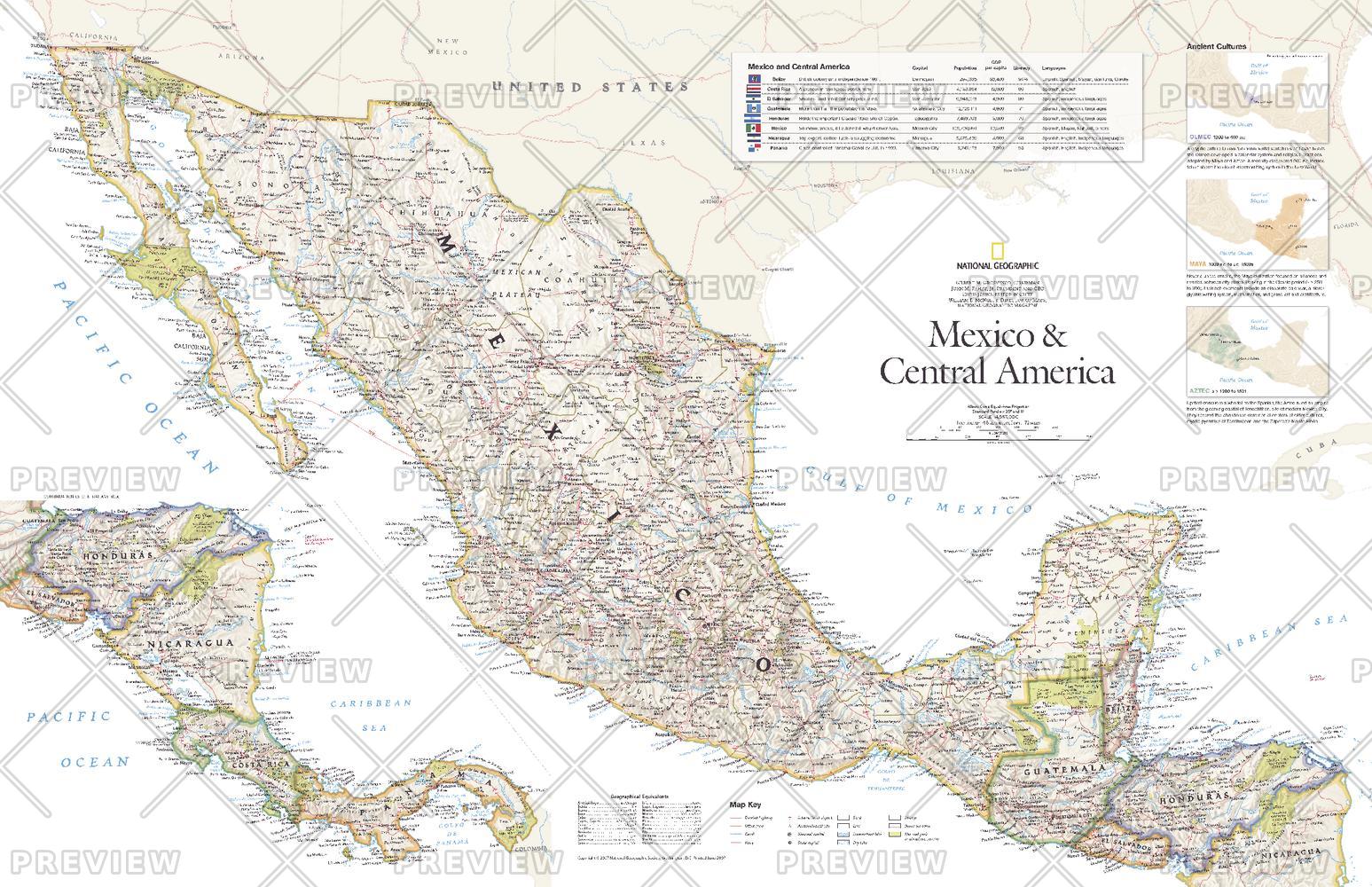
Mexico and Central America - Published 2007
National Geographic
This vibrant political map of Mexico and Central America was published in August 2007 as half of a two-map set with a physical map of the country. Features country and state boundaries, cities, highways, airports, national parks, and information about each country including Guatemala, Belize, El Salvador, Honduras, Nicaragua, Costa Rica, and Panama.
Page Size: 31.25 x 20.25 in (790 x 511 mm)
Buy this map on MapTrove.ca or MapTrove.com
bottom of page