


National Geographic

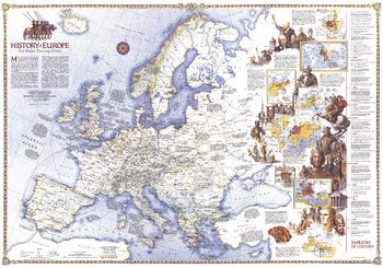
History of Europe, the Major Turning Points - Published 1983
Travel through time with this map as it explores the major turning points in European history. Features dazzling illustrations and multiple inset maps. Published in December 1983 as a companion to the "Europe" map and four articles including "Rome of the East."
Page Size: 43.25 x 30.5 in (1098 x 770 mm)
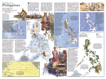
History of the Philippines - Published 1986
With the inauguration of Corazon Aquino earlier in 1986, the Philippines were on the road to recovery after the social and economic oppression of the Marcos regime. Published in July 1986 as a supplement to the Philippines map and the article "Hope and Danger in the Philippines," this map contains an abundance of information on the history of the region.
Page Size: 27.25 x 20.5 in (690 x 516 mm)

Holy Land
Fascinating in-depth look at the faiths, peoples, and politics that have shaped this historic region. Features a detailed political map overlayed with facts about significant religious sites.
Page Size: 23 x 33.75 in (579 x 855 mm)
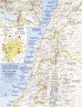
Holy Land Today - Published 1963
This map of the Holy Land provides crisp detail and an abundance of historical notes. An inset map of the Middle East shows Crusade routes, and the Walled City of Jerusalem map reveals the fourteen stations marking the way of the cross from Pilate's hall to Calvary. Published in December 1963 with the articles "Crusader Road to Jerusalem" and "Conquest of the Holy City."
Page Size: 19 x 25 in (481 x 631 mm)
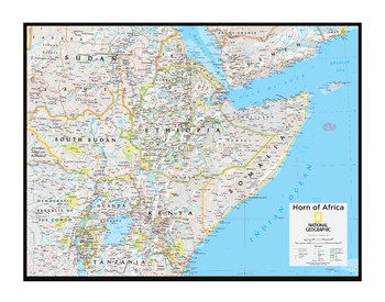
Horn of Africa - Atlas of the World, 10th Edition
Burundi, Djibouti, Eritrea, Ethiopia, Kenya, Rwanda, Somalia, Somaliland, South Sudan, Uganda
Page Size: 28 x 22 in (711 x 559 mm)
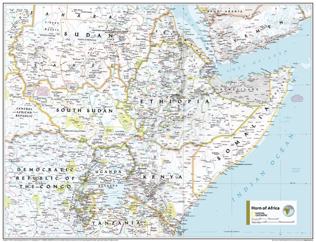
Horn of Africa - Atlas of the World, 11th Edition
This Horn of Africa map of physical and political features can fit in any space. Showcasing the region in stunning detail with state-of-the-art cartographic techniques delivering accuracy and exceptional quality, the innovative and engaging design makes the content easily accessible and user-friendly.
Ideal for classrooms with an emphasis on teaching geography or environmental themes. The inclusion of physical features gives your students a genuine feel for how our world appears.
This map uses a bright, easy to read color palette featuring blue oceans and stunning shaded relief that has been featured on National Geographic wall maps for over 75 years. It is drawn in the Transverse Mercator projection, which is a cylindrical map projection for nautical navigation because it represents lines of constant course.
This map is found in National Geographic's 11th Edition World Atlas and is now available as a stand alone product.
Page Size: 31.5 x 24 in (798 x 610 mm)
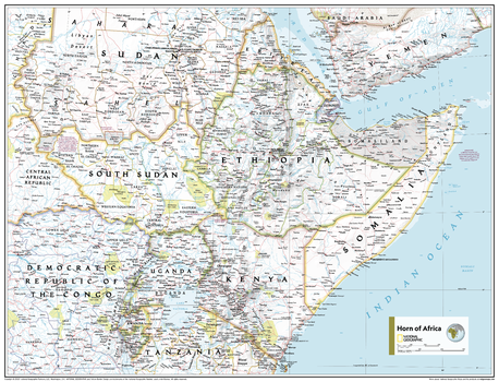
Horn of Africa - Atlas of the World, 11th Edition - Compact
This Horn of Africa map of physical and political features can fit in any space. Showcasing the region in stunning detail with state-of-the-art cartographic techniques delivering accuracy and exceptional quality, the innovative and engaging design makes the content easily accessible and user-friendly.
Ideal for classrooms with an emphasis on teaching geography or environmental themes. The inclusion of physical features gives your students a genuine feel for how our world appears.
This map uses a bright, easy to read color palette featuring blue oceans and stunning shaded relief that has been featured on National Geographic wall maps for over 75 years. It is drawn in the Transverse Mercator projection, which is a cylindrical map projection for nautical navigation because it represents lines of constant course.
This map is found in National Geographic's 11th Edition World Atlas and is now available as a stand alone product.
Page Size: 21.5 x 16.25 in (540 x 413 mm)
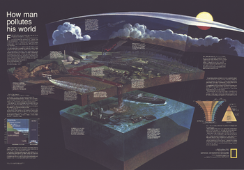
How Man Pollutes His World - Published 1970
Long before stewardship of the Earth was a popular topic, National Geographic was addressing these thorny issues. "How Man Pollutes His World," publiished in December fo 1970, identified and graphically demonstrated how human activities impact our fragile biosphere. Perfect for any student who wants to learn about how these forces interact.
Page Size: 42.25 x 29.5 in (1071 x 746 mm)
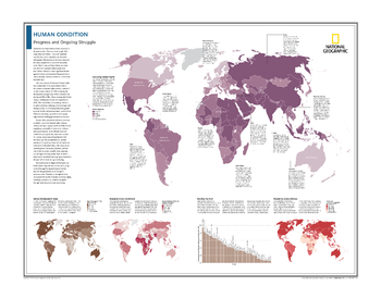
Human Condition: Progress and Ongoing Struggle - Atlas of the World, 10th Edition
Assessing Human Rights; Human Development Index; Mapping School Enrollment; Ranking the Poor; Measuring Global Literacy
Page Size: 28 x 22 in (711 x 559 mm)
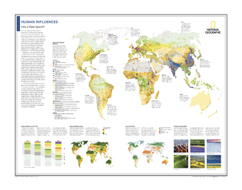
Human Influences: Into a New Epoch? - Atlas of the World, 10th Edition
Mapping Ecological Patterns; Human Influences Over Time; Human Influence Index; Last of the Wild; Planetary Stewardship
Page Size: 28 x 22 in (711 x 559 mm)
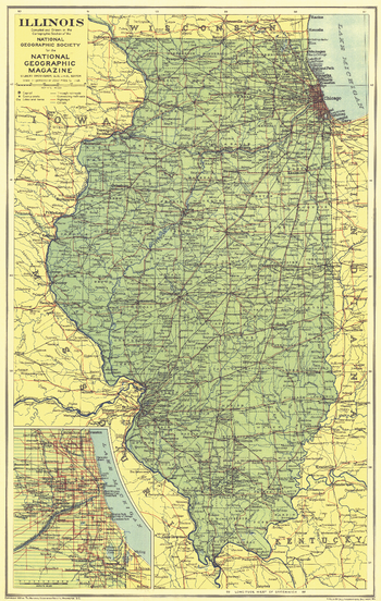
Illinois - Published 1931
This map of Illinois was published in May 1931, the same year Chicago's notorious gangster Al Capone was convicted and sentenced to prison for tax evasion. An inset of the city of Chicago provides additional detail in this map of the Land of Lincoln.
Page Size: 11.75 x 18.75 in (298 x 471 mm)
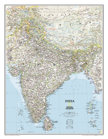
India Classic
One of the most detailed and comprehensive maps ever published for India and southern Asia. It includes India, Sri Lanka, Nepal, Bangladesh, Bhutan, Tajikistan, and portions of China, Pakistan, Afghanistan, and Myanmar. The India map is punctuated with thousands of place names, and embellished with shaded relief which highlights the region's dramatic topography in such places as the Tibetan Plateau and the Himalaya.
Page Size: 23.5 x 30.25 in (597 x 768 mm)
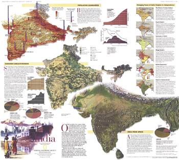
India Theme - Published 1997
National Geographic celebrated India's fifty years of independence in May 1997 with an article and this educational map of the country. This map contains a wealth of information including details on the population, history, geography, and economy of the second most populous nation in the world. A map of South Asia was printed as a companion to this map in the same issue.
Page Size: 23 x 20.5 in (578 x 520 mm)
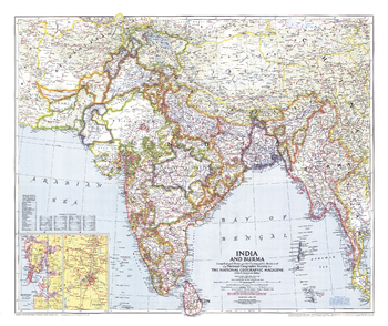
India and Burma - Published 1946
Published in April 1946 just a year before India and Pakistan gained their independence, this map of India and Burma details the numerous provinces of the region. Half of a two-map set, it accompanied the "Political Subdivisions of India" map and three articles on India.
Page Size: 31.25 x 26 in (787 x 660 mm)
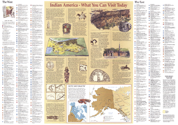
Indian America - Published 1991
This map provides a history of the first inhabitants of the United States, including Alaska and the peoples of the Arctic. Also displays illustrations of artifacts. Published in October 1991 as a companion to (and complete index of) the "Native American Heritage" map.
Page Size: 29 x 20.5 in (735 x 517 mm)
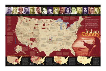
Indian Country
For five centuries, Indian territories have been contested on battlefields, legislated in Congress, and studied in classrooms. This updated map shows Indian reservations, tribal entities, trust lands, and locations of major festivals and pow-wows. Also includes photos and short biographies of notable Indians through history, and a series of four maps showing how Native American lands have lost territory from 1775 to the present. An excellent complement to our Indian Cultures of North America map.
Page Size: 35 x 23.5 in (889 x 597 mm)
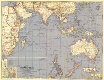
Indian Ocean - Published 1941
This World War II era map contains great detail about the Indian Ocean region including typical storm tracks, naval bases, and historical notes. Published in March 1941, this map is a great companion for the map of the Pacific in 1936.
Page Size: 32.25 x 25.25 in (819 x 636 mm)
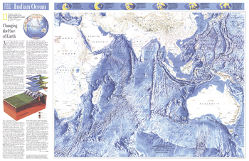
Indian Ocean - Published 1992
This attractive physical map of the Indian Ocean floor appeared in the June 1992 issue of National Geographic. It contains an article entitled "Changing the Face of Earth" and additional information on continental drift. The map's detail of such submarine terrain as fracture zones, basins, and ridges is stunning. A wonderful companion to the ocean floor map of the Pacific Ocean which appeared in the same issue.
Page Size: 31.5 x 20.5 in (796 x 517 mm)
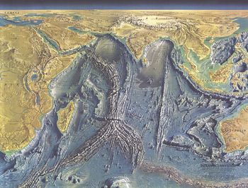
Indian Ocean Floor - Published 1967
This distinctive physical map of the Indian Ocean floor appeared in the October 1967 issue of National Geographic. The detail of such submarine terrain as continental shelves, basins, fracture zones and the mighty Mid-Oceanic Ridge is stunning. A true work of art, and a wonderful companion to the ocean floor maps of the Atlantic (1968), Pacific (1969), and Arctic (1971).
Page Size: 24.75 x 19 in (628 x 478 mm)
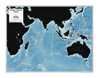
Indian Ocean Floor - Atlas of the World, 10th Edition
null
Page Size: 28 x 22 in (711 x 559 mm)