


National Geographic

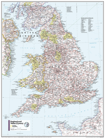
England and Wales (Cymru) - Atlas of the World, 11th Edition
This England and Wales (Cymru) map of physical and political features can fit in any space. Showcasing the country and surrounding regions in stunning detail with state-of-the-art cartographic techniques delivering accuracy and exceptional quality, the innovative and engaging design makes the content easily accessible and user-friendly.
Ideal for classrooms with an emphasis on teaching geography or environmental themes. Physical maps give your students a genuine feel for how our world appears.
This map uses a bright, easy to read color palette featuring blue oceans and stunning shaded relief that has been featured on National Geographic wall maps for over 75 years. It is drawn in a Polyconic projection, where the parallels are all non-concentric circular arcs.
Names of geographic features are carefully placed on the map to maintain legibility. Details on the counties and unitary authorities add details to this classic map.
This map is found in National Geographic's 11th Edition World Atlas and is now available as a stand alone product.
Page Size: 24 x 31.5 in (610 x 798 mm)
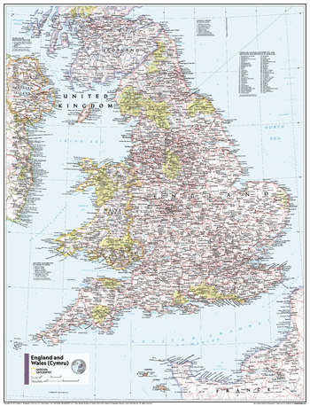
England and Wales (Cymru) - Atlas of the World, 11th Edition - Compact
This England and Wales (Cymru) map of physical and political features can fit in any space. Showcasing the country and surrounding regions in stunning detail with state-of-the-art cartographic techniques delivering accuracy and exceptional quality, the innovative and engaging design makes the content easily accessible and user-friendly.
Ideal for classrooms with an emphasis on teaching geography or environmental themes. Physical maps give your students a genuine feel for how our world appears.
This map uses a bright, easy to read color palette featuring blue oceans and stunning shaded relief that has been featured on National Geographic wall maps for over 75 years. It is drawn in a Polyconic projection, where the parallels are all non-concentric circular arcs.
Names of geographic features are carefully placed on the map to maintain legibility. Details on the counties and unitary authorities add details to this classic map.
This map is found in National Geographic's 11th Edition World Atlas and is now available as a stand alone product.
Page Size: 16.25 x 21.5 in (413 x 540 mm)
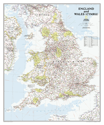
England and Wales Classic
This classic-style map portrays England and Wales (Cymru) in exceptional detail. It portrays hundreds of place-names—including Welsh and Manx names—transportation networks, and administrative divisions. Each has been carefully researched and accuracy assured by National Geographic's cartographers.<br><br>This map covers all of England and Wales (Cymru), along with parts of Scotland, Northern Ireland, Ireland (Éire), and France.
Page Size: 30 x 36 in (762 x 914 mm)
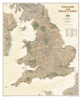
England and Wales Executive
This executive-style map portrays England and Wales (Cymru) in exceptional detail. It portrays hundreds of place-names—including Welsh and Manx names—transportation networks, and administrative divisions. Each has been carefully researched and accuracy assured by National Geographic's cartographers.<br><br>This map covers all of England and Wales (Cymru), along with parts of Scotland, Northern Ireland, Ireland (Éire), and France.
Page Size: 30 x 36 in (762 x 914 mm)
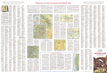
Enjoying Our Scenic Treasures and Historical Sites - Published 1966
A supplement to the Vacationlands of the United States and Canada map, this map includes tips on vacationing and maps of some popular sites. Published in July 1966, it contains information on the variety of scenic and historical sites, from the lure of Indian lands and places where wildlife roam to landmarks of city and industry.
Page Size: 38 x 26 in (962 x 659 mm)
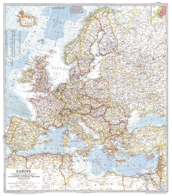
Europe - Published 1957
This map of Europe, created during the the Cold War, is a compelling historical piece. An inset shows which countries were Communist at the time. Published in June 1957 with an article entitled "Through Europe by Trailer Caravan."
Page Size: 29 x 33 in (735 x 838 mm)
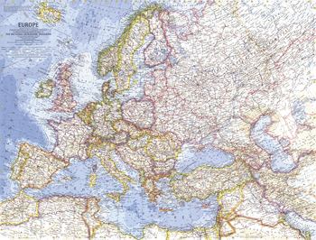
Europe - Published 1962
This marvelously detailed map of Europe provides a Cold War era snapshot of Europe, including the borders of Germany, Poland, and the Soviet Union as they existed in 1938. Published in June 1962 with the article "In the Crusader's Footsteps."
Page Size: 25 x 19 in (631 x 480 mm)
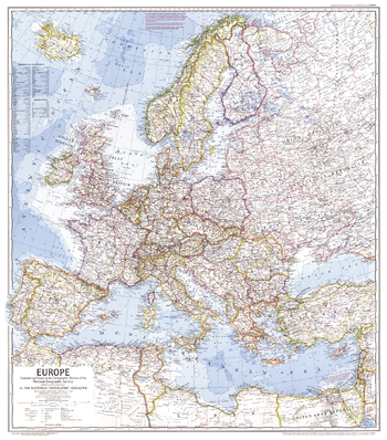
Europe - Published 1969
In comparison to earlier maps of Europe, this map is the first to show the network of superhighways criss-crossing the continent as European transportation surged. Published in June 1969, it accompanied an article entitled "Europe, A Restless Continent Remapped."
Page Size: 26.75 x 30.25 in (674 x 767 mm)
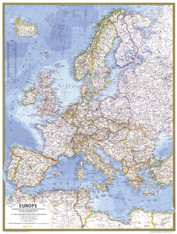
Europe - Published 1977
A modern Europe emerges with a network of superhighways in this map published in May 1977. This map was printed to accompany the article "The Celts" and a supplemental map entitled "Celtic Europe."
Page Size: 22.75 x 30 in (573 x 758 mm)
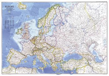
Europe - Published 1983
This striking map of Europe, a National Geographic classic, is vibrantly colored and beautifully rendered. Published in December 1983, during the last decade of the Cold War, as a companion to the "History of Europe, the Major Turning Points" map and four articles on Europe including "Rome of the East."
Page Size: 43.25 x 30.5 in (1098 x 770 mm)
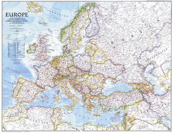
Europe - Published 1992
This striking map of Europe reveals a new landscape of nations as they emerged at the end of the Cold War. A wonderful snapshot of a historic period in Europe's history. Published in December 1992 as half of a two–map set with "The New Europe."
Page Size: 28.75 x 22.25 in (728 x 559 mm)
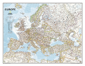
Europe Classic
National Geographic's classic political map of Europe features country boundaries, thousands of place names, waterbodies, airports, major highways and roads, national parks, and much more. Includes the countries and major cities of Albania, Armenia, Austria, Azerbaijan, Belarus, Belgium, Bosnia & Herzegovina, Bulgaria, Croatia, Cyprus, Czech Republic, Denmark, Estonia, Finland, France, Georgia, Germany, Greece, Hungary, Iceland, Ireland, Italy, Kosovo, Latvia, Liechtenstein, Lithuania, Luxembourg, Macedonia, Moldova, Montenegro, The Netherlands, Norway, Poland, Portugal, Romania, Russia, Serbia, Slovakia, Slovenia, Spain, Sweden, Switzerland, Turkey, Ukraine, and the United Kingdom.
Page Size: 30.5 x 24 in (772 x 605 mm)
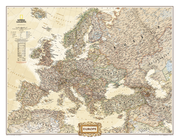
Europe Executive
National Geographic's antique-executive style political map of Europe features country boundaries, thousands of place names, waterbodies, airports, major highways and roads, national parks, and much more. Includes the countries and major cities of Albania, Armenia, Austria, Azerbaijan, Belarus, Belgium, Bosnia & Herzegovina, Bulgaria, Croatia, Cyprus, Czech Republic, Denmark, Estonia, Finland, France, Georgia, Germany, Greece, Hungary, Iceland, Ireland, Italy, Kosovo, Latvia, Liechtenstein, Lithuania, Luxembourg, Macedonia, Moldova, Montenegro, The Netherlands, Norway, Poland, Portugal, Romania, Russia, Serbia, Slovakia, Slovenia, Spain, Sweden, Switzerland, Turkey, Ukraine, and the United Kingdom.
Page Size: 30.5 x 24 in (772 x 605 mm)
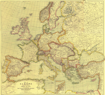
Europe Map with Africa and Asia - Published 1915
This beautifully rendered map of Europe was published in July 1915, one year into the First World War. A historical snapshot of a region in turmoil, this map is a must-have for map collectors, as well as those interested in The Great War. A National Geographic classic.
Page Size: 31.5 x 28.5 in (796 x 719 mm)
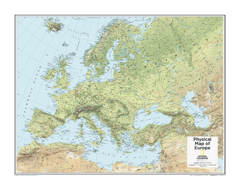
Europe Physical - Atlas of the World, 10th Edition
null
Page Size: 28 x 22 in (711 x 559 mm)
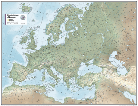
Europe Physical - Atlas of the World, 11th Edition
This map of Europe's physical geography can fit in any space. Showcasing Europe in stunning detail with state-of-the-art cartographic techniques delivering accuracy and exceptional quality, the innovative and engaging design makes the content easily accessible and user-friendly.
Ideal for classrooms with an emphasis on teaching geography or environmental themes. Physical wall maps give your students a genuine feel for how our world appears.
This physical map of Europe uses a bright, easy to read color palette featuring blue oceans and stunning shaded relief that has been featured on National Geographic wall maps for over 75 years. Drawn in the Azimuthal Equidistant projection, this map ensures that all points are at proportionally correct distances from the center point.
Names of geographic features such as international boundaries, cities, rivers and lakes are carefully placed on the map to maintain legibility.
This map is found in National Geographic's 11th Edition World Atlas and is now available as a stand alone product.
Page Size: 31.5 x 24 in (798 x 610 mm)
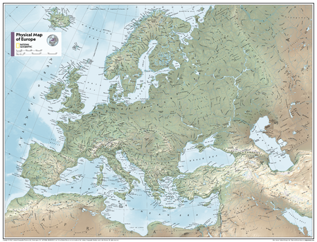
Europe Physical - Atlas of the World, 11th Edition - Compact
This map of Europe's physical geography can fit in any space. Showcasing Europe in stunning detail with state-of-the-art cartographic techniques delivering accuracy and exceptional quality, the innovative and engaging design makes the content easily accessible and user-friendly.
Ideal for classrooms with an emphasis on teaching geography or environmental themes. Physical wall maps give your students a genuine feel for how our world appears.
This physical map of Europe uses a bright, easy to read color palette featuring blue oceans and stunning shaded relief that has been featured on National Geographic wall maps for over 75 years. Drawn in the Azimuthal Equidistant projection, this map ensures that all points are at proportionally correct distances from the center point.
Names of geographic features such as international boundaries, cities, rivers and lakes are carefully placed on the map to maintain legibility.
This map is found in National Geographic's 11th Edition World Atlas and is now available as a stand alone product.
Page Size: 21.5 x 16.25 in (540 x 413 mm)
Europe Political - Atlas of the World, 10th Edition
null
Page Size: 28 x 22 in (711 x 559 mm)
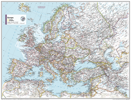
Europe Political - Atlas of the World, 11th Edition
This map of political features can fit in any space. Showcasing Europe in stunning detail with state-of-the-art cartographic techniques delivering accuracy and exceptional quality, the innovative and engaging design makes the content easily accessible and user-friendly.
Ideal for classrooms with an emphasis on teaching geography or environmental themes. The inclusion of physical features on this map gives your students a genuine feel for how our world appears.
This political map of Europe uses a bright, easy to read color palette featuring blue oceans and stunning shaded relief that has been featured on National Geographic wall maps for over 75 years. Drawn in the Azimuthal Equidistant projection, this map ensures that all points are at proportionally correct distances from the center point.
Names of geographic features such as international boundaries, cities, rivers and lakes are carefully placed on the map to maintain legibility.
This map is found in National Geographic's 11th Edition World Atlas and is now available as a stand alone product.
Page Size: 31.5 x 24 in (798 x 610 mm)
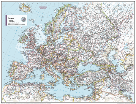
Europe Political - Atlas of the World, 11th Edition - Compact
This map of political features can fit in any space. Showcasing Europe in stunning detail with state-of-the-art cartographic techniques delivering accuracy and exceptional quality, the innovative and engaging design makes the content easily accessible and user-friendly.
Ideal for classrooms with an emphasis on teaching geography or environmental themes. The inclusion of physical features on this map gives your students a genuine feel for how our world appears.
This political map of Europe uses a bright, easy to read color palette featuring blue oceans and stunning shaded relief that has been featured on National Geographic wall maps for over 75 years. Drawn in the Azimuthal Equidistant projection, this map ensures that all points are at proportionally correct distances from the center point.
Names of geographic features such as international boundaries, cities, rivers and lakes are carefully placed on the map to maintain legibility.
This map is found in National Geographic's 11th Edition World Atlas and is now available as a stand alone product.
Page Size: 21.5 x 16.25 in (540 x 413 mm)