top of page
England and Wales Classic
National Geographic
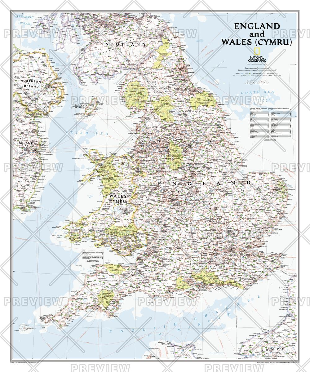
This classic-style map portrays England and Wales (Cymru) in exceptional detail. It portrays hundreds of place-names—including Welsh and Manx names—transportation networks, and administrative divisions. Each has been carefully researched and accuracy assured by National Geographic's cartographers.<br><br>This map covers all of England and Wales (Cymru), along with parts of Scotland, Northern Ireland, Ireland (Éire), and France.
Page Size: 30 x 36 in (762 x 914 mm)
Buy this map on MapTrove.ca or MapTrove.com
bottom of page