


MapSherpa
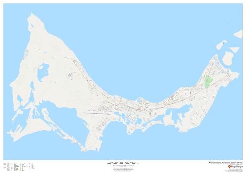
Providenciales, Turks and Caicos Islands
This map of Providenciales, Turks and Caicos Islands features a clean design and rich detail designed for the traveller.
Page Size: 47 x 33.25 in (1189 x 841 mm)
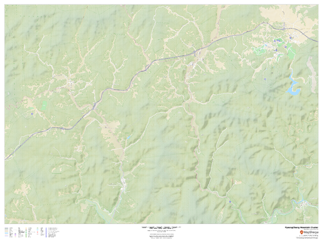
PyeongChang 2018 Winter Games Mountain Cluster Venues
This road map highlights the 9 venues of the 2018 PyeongChang winter games that are in the PyeongChang Mountain Cluster: PyeongChang Olympic Stadium, Alpensia Biathalon Centre, Alpensia Cross-Country Skiing Centre, Alpensia Ski Jumping Centre, Olympic Sliding Centre, Phoenix Snow Park, Jeongseon Alpine Centre, Yongpyong Alpine Centre, and the PyeongChang Olympic Village.
Page Size: 48 x 36 in (1219 x 914 mm)
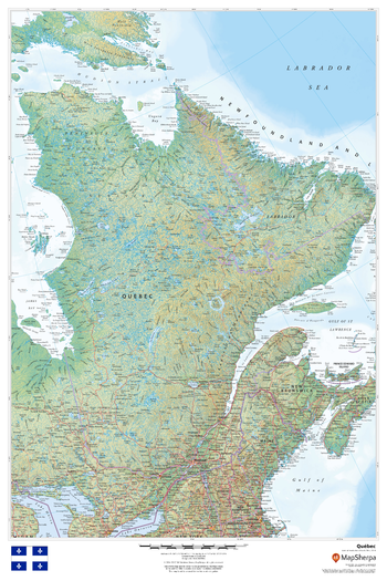
Quebec
This beautiful map shows physical and political features for Quebec and surrounding areas. Relief shading and the use of different colours by height above sea level are both informative and attractive.
Page Size: 24 x 36 in (610 x 914 mm)
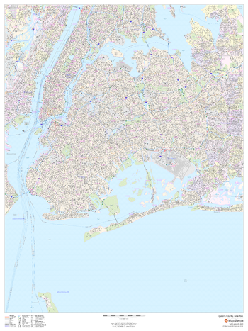
Queens County, New York
This map of Queens County, New York shows street level information including street labeling. Base map features include all roads with major roads and highways labelled; neighborhood names; railways; high level land use such as parks and recreation areas, industrial areas and hospital campuses; and a variety of points of interest including libraries, stadiums, museums, border crossings and more. ZIP code boundaries are shown as a secondary map feature.
Page Size: 36 x 48 in (914 x 1219 mm)
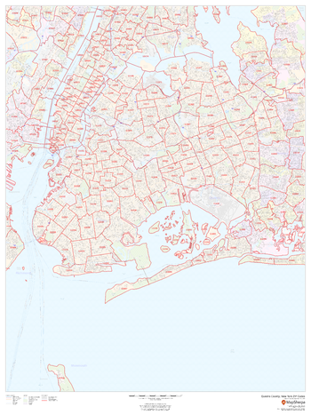
Queens County, New York ZIP Codes
This map of Queens County, New York shows ZIP code areas overlaid on a road map. Ideal for planning of deliveries, home services, sales territories, real estate and much more. Base map features include all roads with major roads and highways labelled; neighborhood names; railways; and high level land use such as parks and recreation areas, industrial areas and hospital campuses.
Page Size: 36 x 48 in (914 x 1219 mm)
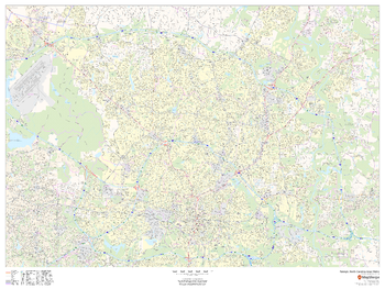
Raleigh, North Carolina Inner Metro - Landscape
This landscape-oriented map of central Raleigh, North Carolina shows detailed street level information including extensive street labeling. Ideal for planning of deliveries, home services, sales territories, real estate and much more. Base map features include all roads with major roads and highways labelled; neighborhood names; railways; high level land use such as parks and recreation areas, industrial areas and hospital campuses; and a variety of points of interest including schools, libraries, stadiums, museums, border crossings and more.
Page Size: 48 x 36 in (1219 x 914 mm)
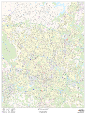
Raleigh, North Carolina Inner Metro - Portrait
This portrait-oriented map of central Raleigh, North Carolina shows detailed street level information including extensive street labeling. Ideal for planning of deliveries, home services, sales territories, real estate and much more. Base map features include all roads with major roads and highways labelled; neighborhood names; railways; high level land use such as parks and recreation areas, industrial areas and hospital campuses; and a variety of points of interest including schools, libraries, stadiums, museums, border crossings and more.
Page Size: 36 x 48 in (914 x 1219 mm)
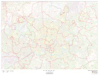
Raleigh, North Carolina ZIP Codes
This map of Raleigh, North Carolina shows ZIP code areas overlaid on a road map. Ideal for planning of deliveries, home services, sales territories, real estate and much more. Base map features include all roads with major roads and highways labelled; neighborhood names; railways; and high level land use such as parks and recreation areas, industrial areas and hospital campuses.
Page Size: 48 x 36 in (1219 x 914 mm)
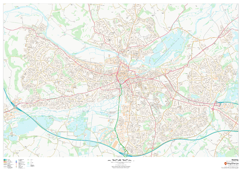
Reading
This map of Reading shows detailed street level information including extensive street labelling. Ideal for planning of deliveries, home services, sales territories, real estate and much more.
Page Size: 47 x 33.25 in (1189 x 841 mm)
Regional Relief - Australia & New Zealand
These beautiful maps show Political and Physical features for Australia and New Zealand. Maps contain extensive country specific features and text. Relief shading and the use of different colors by height above sea level are both informative and attractive. Custom maps can be made at scales between 1:1,000,000 and 1:4,000,000.
Regional Relief - Canada & Northern US
These beautiful maps show Political and Physical features for Canada and the Northern United States. Maps contain extensive country specific features and text. Relief shading and the use of different colors by height above sea level are both informative and attractive. Custom maps can be made at scales between 1:1,500,000 and 1:6,000,000 scales.
Regional Relief - Central & Eastern Asia
These beautiful maps show Political and Physical features for Central and Eastern Asia; from the Caspian Sea and Pakistan in the west to Japan and the Philippines in the east. Maps contain extensive country specific features and text. Relief shading and the use of different colors by height above sea level are both informative and attractive. Custom maps can be made at scales between 1:1,650,000 and 1:6,600,000.
Regional Relief - Central America & Caribbean
These beautiful maps show Political and Physical features for Central America & Caribbean. Maps contain extensive country specific features and text. Relief shading and the use of different colors by height above sea level are both informative and attractive. Custom maps can be made at scales between 1:1,250,000 and 1:5,000,000.
Regional Relief - Middle East
These beautiful maps show Political and Physical features for the Middle East; from Israel and Jordan in the west to Afghanistan and Pakistan in the east. Maps contain extensive country specific features and text. Relief shading and the use of different colors by height above sea level are both informative and attractive. Custom maps can be made at scales between 1:1,000,000 and 1:4,000,000.
Regional Relief - Northern Africa
These beautiful maps show Political and Physical features for Northern Africa; from Tunisia in the north to the Democratic Republic of Congo in the south. Maps contain extensive country specific features and text. Relief shading and the use of different colors by height above sea level are both informative and attractive. Custom maps can be made at scales between 1:1,600,000 and 1:6,400,000.
Regional Relief - Northern Europe
These beautiful maps show Political and Physical features for Northern Europe; from Iceland in the west, and Scandinavia in the east. Maps contain extensive country specific features and text. Relief shading and the use of different colors by height above sea level are both informative and attractive. Custom maps can be made at scales between 1:900,000 and 1:3,500,000.
Regional Relief - Northern South America
These beautiful maps show Political and Physical features for Northern South America; from Venezeula in the north to Bolivia in the south. Maps contain extensive country specific features and text. Relief shading and the use of different colors by height above sea level are both informative and attractive. Custom maps can be made at scales between 1:1,250,000 and 1:5,000,000.
Regional Relief - Russian Federation
These beautiful maps show Political and Physical features for the Russian Federation; from the Baltic States in the west to Japan and Korea in the east. Maps contain extensive country specific features and text. Relief shading and the use of different colors by height above sea level are both informative and attractive. Custom maps can be made at scales between 1:1,750,000 and 1:7,000,000.
Regional Relief - Southeastern Asia
These beautiful maps show Political and Physical features for Southeast Asia; from India in the west to Papua New Guinea in the east. Maps contain extensive country specific features and text. Relief shading and the use of different colors by height above sea level are both informative and attractive. Custom maps can be made at scales between 1:2,000,000 and 1:8,000,000.
Regional Relief - Southern Africa
These beautiful maps show Political and Physical features for Southern Africa; from the Gulf of Guinea and Ethiopia in the north to South Africa in the south. Maps contain extensive country specific features and text. Relief shading and the use of different colors by height above sea level are both informative and attractive. Custom maps can be made at scales between 1:1,600,000 and 1:6,400,000.