Geo4Map

Italy Hiking Map
A map product of the Piedmont region of Northern Italy for the outdoor enthusiast, in particular for lovers of the GTA (Alps Grand Tour). Located to the north west of Milan, and bordering on Switzerland, this map content was created in collaboration with the local sections of CAI (Italian Alpin Club) so that information about the local terrain is accurate. Clear and intuitive symbols ensure readability and comprehension by both experienced and inexperienced hikers. Information identified on the maps includes; footpaths of various difficulties, Camp sites, Alpine huts, Scenic viewpoints, Point elevations, Climbing-Canyoning and Paragliding locations as well as Service areas and Information centers. These beautiful maps can be made at a range of scales between 1:11,000 to 1:36,000.
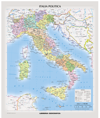
Italy Road Map
A tourist map product for Italy, perfect for planning your trip and discovering every hidden corner of Italy. Create maps at a range of scales between 1:100,000 to 1:750,000. These maps are easy to read and provide detailed road and travel information. Road information includes the type of road and any restrictions or scenic and seasonal roads. Travel infrastructure such as service areas, tolls, railway lines, trams and cable-cars are clearly marked. Features identified include; Parks, Historical sites, Airports and State and National Borders to name a few.


