


Product Update: USA Topo Custom Map
Sep 3
1 min read
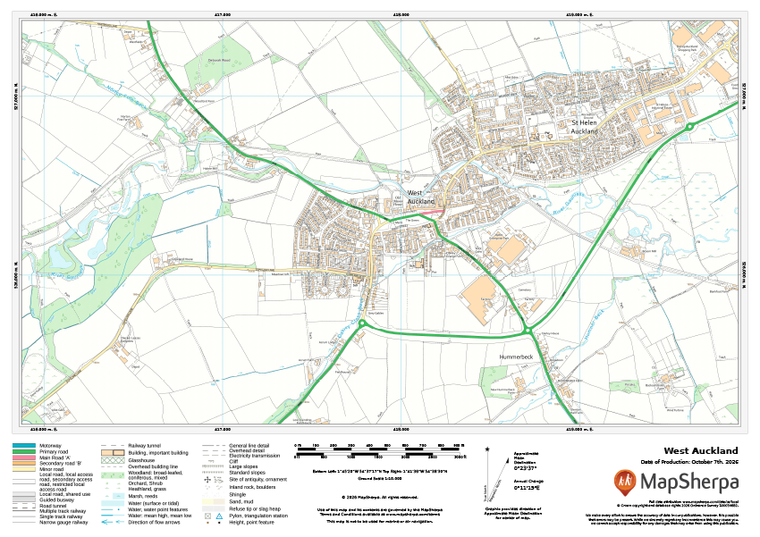
MapSherpa's USA Topo - Modern custom map product now includes updated quads through August 27, 2026.
Each United States Geological Service US Topo map covers 7.5 minutes of latitude by 7.5 minutes of longitude. at a scale of 1;24,000. Our custom map is built by rasterizing the source PDFs at 300 DPI and creating a mosaic of the map sheets for complete coverage of the USA.


Comments