


MapSherpa Catalog
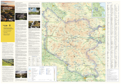
Yorkshire Dales National Park Map
Collins
With clear mapping and a high level of detail, explore Yorkshire Dales National Park easily with maps from Collins. This map identifies key park, tourist, and travel information, presented alongside a selection of photographs, making it an ideal companion for those exploring this beautiful area of Northern England.
Page Size: 32 x 22.25 in (810 x 560 mm)
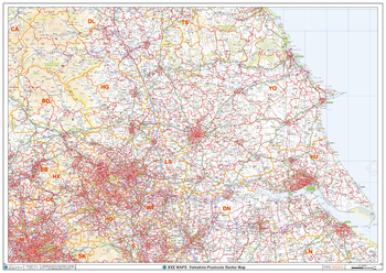
Yorkshire Postcode Sector Wall Map (S13)
XYZ Maps
The Yorkshire Postcode Sector Wall Map shows detailed postcode sector boundaries along with its associated label (YO1 1, YO1 2) on a comprehensive background and is perfect for determining postcode boundaries, for sales, logistics, planning mailshots or as a regional reference guide.
Page Size: 47 x 33.25 in (1189 x 841 mm)
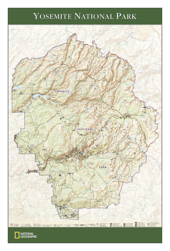
Yosemite National Park - Published 2006
National Geographic
View of the entire Yosemite National Park, based on its popular matching Trails Illustrated map. Rich topographic detail shows the park's magnificent mountains and valleys, as well as trail and road information for the California park, which is the first National Park in the United States and the crown jewel of the Sierra Nevada.
Page Size: 24 x 36 in (610 x 914 mm)
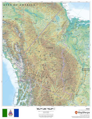
Yukon
MapSherpa
This beautiful map shows physical and political features for the Yukon surrounding areas. Relief shading and the use of different colours by height above sea level are both informative and attractive.
Page Size: 17 x 22 in (432 x 559 mm)
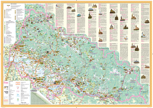
Zakarpatska oblast Wall Map - Ukrainian
Kartographia
This Ukrainian-language wall map features important architectural sites, monuments, cultural and entertainment establishments, reserves, national parks, wildlife areas, nature monuments and tourist centers of Zakarpatska oblast. Also included is a place name distance index and photographs and descriptions of notable historic features.
Page Size: 33.25 x 23.25 in (840 x 590 mm)
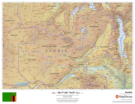
Zambia
MapSherpa
This beautiful map shows physical and political features for Zambia and surrounding areas. Relief shading and the use of different colours by height above sea level are both informative and attractive.
Page Size: 22 x 17 in (559 x 432 mm)
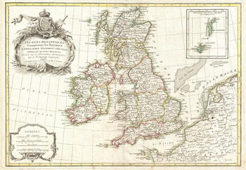
Zannoni Map of the British Isles: England, Scotland, Ireland (1771)
Artokoloro
1771 map of England, Scotland and Ireland by French geographer and cartographer Jean Janvier for Jean Lattre's 1783 final issue of the Atlas Moderne. Full title: Les Iles Britanniques Comprenant les Royaumes d'Angleterre d'Ecosse et d'Irelande divisés en grandes provinces Dréssés sur les Observations Astronomiques par le Sr. Janvier Géographe
Page Size: 17 x 11.75 in (427 x 295 mm)
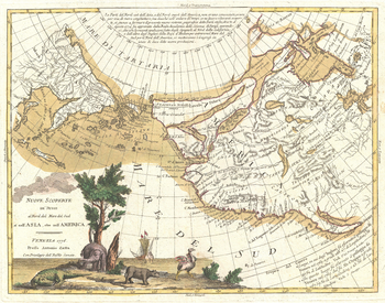
Zatta Map of California and the Western Parts of North America (1776)
Artokoloro
1766 map of the the new discoveries in the North Pacific by Italian cartographer Antonio Zatta. Full title: Nuove Scoperte de' Russi al Nord del Mare del sud sí nell' Asia, che nell'America.
Page Size: 18 x 14.25 in (454 x 357 mm)
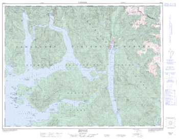
Zeballos - 92 E/15 - British Columbia
Natural Resources Canada
Canadian topographic map of Zeballos, British Columbia. NTS sheet 092E15 Edition 4.
Page Size: 32.75 x 25.5 in (830 x 647 mm)
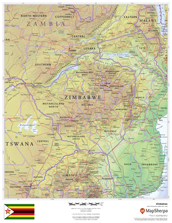
Zimbabwe
MapSherpa
This beautiful map shows physical and political features for Zimbabwe and surrounding areas. Relief shading and the use of different colours by height above sea level are both informative and attractive.
Page Size: 17 x 22 in (432 x 559 mm)
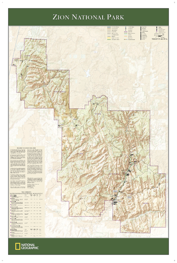
Zion National Park
National Geographic
The wall map of Zion National Park, based on the popular Trails Illustrated map of the park, provides rich topographic detail to show the Utah park's magnificent scenery, as well as updated trail and road information.
Page Size: 25 x 37 in (635 x 940 mm)
No search results