


MapSherpa Catalog
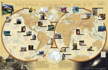
World of National Geographic
National Geographic
Learn about the fascinating events and cutting-edge research that National Geographic supports around the globe.
Page Size: 31.25 x 20.25 in (791 x 511 mm)
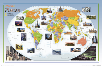
World of Places - Published in 2004
National Geographic
This colorful, educational map for kids features large photographs of notable landmarks and places throughout the world.
Page Size: 38.25 x 24.75 in (969 x 627 mm)
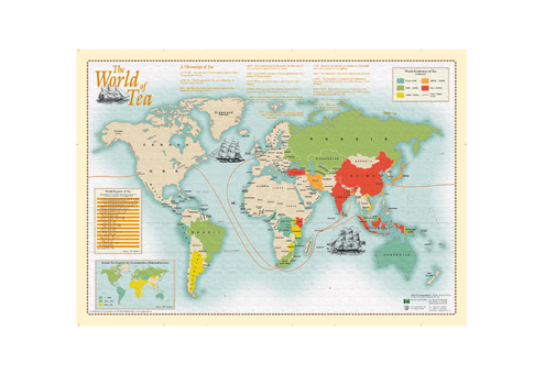
World of Tea
Oxford Cartographers
World map showing tea production and consumption
Page Size: 33.25 x 23.25 in (840 x 590 mm)
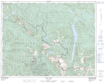
Woss Lake - 92 L/2 - British Columbia
Natural Resources Canada
Canadian topographic map of Woss Lake, British Columbia. NTS sheet 092L02 Edition 4.
Page Size: 32.25 x 25.25 in (817 x 641 mm)
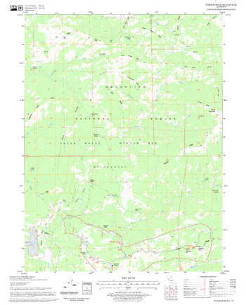
Wrights Ridge Quadrangle, California
United States Forest Service
United States Department of Agriculture Forestry Service topographical map of Wrights Ridge, Mendocino National Forest, California.
Page Size: 21.75 x 27 in (552 x 686 mm)
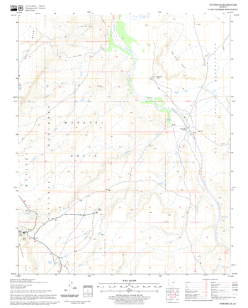
Wupatki SE Quadrangle, Arizona
United States Forest Service
United States Department of Agriculture Forestry Service topographical map of Wupatki SE, Coconino National Forest, Arizona.
Page Size: 21.75 x 27 in (552 x 686 mm)
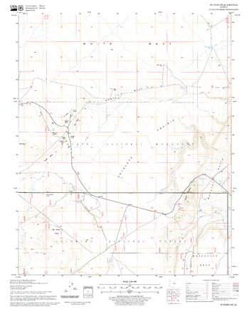
Wupatki SW Quadrangle, Arizona
United States Forest Service
United States Department of Agriculture Forestry Service topographical map of Wupatki SW, Coconino National Forest, Arizona.
Page Size: 21.75 x 27 in (552 x 686 mm)
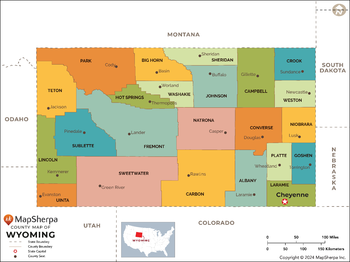
Wyoming Counties Map - Extra Large
MapSherpa
This map has been created exclusively for MapSherpa, and designed for reference or business use. Clear and clean colors & fonts matched with cartographic research makes this map of the 23 Wyoming counties easily readable and useful.
Page Size: 60 x 45 in (1524 x 1140 mm)
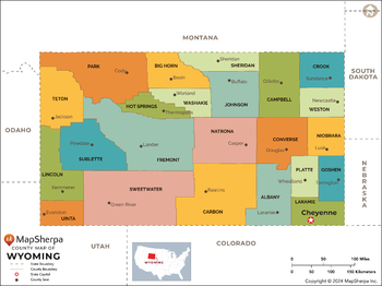
Wyoming Counties Map - Large
MapSherpa
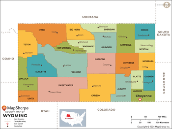
This map has been created exclusively for MapSherpa, and designed for reference or business use. Clear and clean colors & fonts matched with cartographic research makes this map of the 23 Wyoming counties easily readable and useful.
Page Size: 48 x 36 in (1219 x 912 mm)
Wyoming Counties Map - Standard
MapSherpa
This map has been created exclusively for MapSherpa, and designed for reference or business use. Clear and clean colors & fonts matched with cartographic research makes this map of the 23 Wyoming counties easily readable and useful.
Page Size: 36 x 27 in (914 x 684 mm)
Wyoming Recreation Wall Map
Benchmark Maps
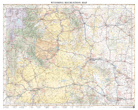
Wyoming is home to both Grand Teton and Yellowstone National Parks in its northwest corner, but there are more mountain ranges and rivers that extend beyond these iconic parks. This wall map illustrates The Cowboy State’s complete public land coverage and the scenic roadways that connect the Wind River Range to the Laramie Range, the Medicine Bow Mountains to the Bighorn Mountains, and the historic sites and recreation opportunities throughout.
Page Size: 35.5 x 28 in (896 x 711 mm)
Wyoming Recreation Wall Map – 26 inch
Benchmark Maps
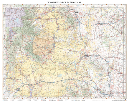
Wyoming is home to both Grand Teton and Yellowstone National Parks in its northwest corner, but there are more mountain ranges and rivers that extend beyond these iconic parks. This wall map illustrates The Cowboy State’s complete public land coverage and the scenic roadways that connect the Wind River Range to the Laramie Range, the Medicine Bow Mountains to the Bighorn Mountains, and the historic sites and recreation opportunities throughout.
Page Size: 32.5 x 26 in (826 x 660 mm)
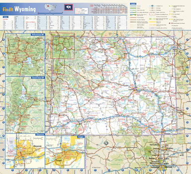
Wyoming State Wall Map
Globe Turner
This colorful, easy-to-read state map of Wyoming identifies all major thoroughfares, secondary roads, freeway interchanges, rest areas, distance markers, landmarks, recreational areas, and more. Shaded relief on the state map provides a three-dimensional sense of Wyoming’s topography. Detailed city inset maps of Casper and Cheyenne are based on the latest street information from our cartographic experts. The map also includes up-to-date insets of Grand Teton National Park and Yellowstone National Park. County and city indices make it simple to locate even the smallest town. City type sizes reflect the 2020 U.S. Census.
Page Size: 16.75 x 15.25 in (425 x 387 mm)
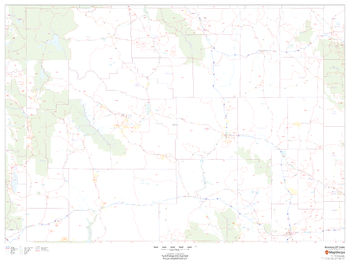
Wyoming ZIP Code Map
MapSherpa
This map of Wyoming shows ZIP codes overlaid on a road map. Base map features include county boundaries, major road network features, and state and national parks and conservation areas.
Page Size: 48 x 36 in (1219 x 914 mm)
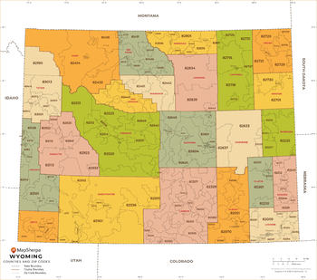
Wyoming ZIP Code Map with Counties - Extra Large
MapSherpa
This map has been created exclusively for MapSherpa, and designed for business or reference use. Clear and clean colors & fonts matched with cartographic research makes this map of Wyoming's counties and ZIP codes easily readable and useful.
Page Size: 60 x 53.25 in (1524 x 1348 mm)
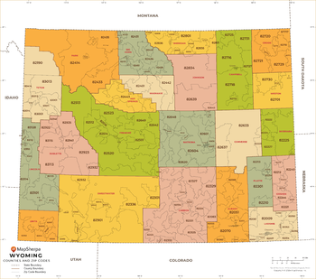
Wyoming ZIP Code Map with Counties - Large
MapSherpa
This map has been created exclusively for MapSherpa, and designed for business or reference use. Clear and clean colors & fonts matched with cartographic research makes this map of Wyoming's counties and ZIP codes easily readable and useful.
Page Size: 48 x 42.5 in (1219 x 1078 mm)
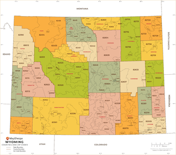
Wyoming ZIP Code Map with Counties - Standard
MapSherpa
This map has been created exclusively for MapSherpa, and designed for business or reference use. Clear and clean colors & fonts matched with cartographic research makes this map of Wyoming's counties and ZIP codes easily readable and useful.
Page Size: 36 x 32 in (914 x 809 mm)
XYZ Basic Map
XYZ Maps
A plain topographic map of Great Britain at any zoom level from Road Map 1:1 million down to Street Map 1:10 000 with appropriate roads, railways, lakes, rivers, towns, etc. Use this if you need street level delivery maps, walking maps, decorative wall maps, or route planning maps.
XYZ England Clinical Commissioning Groups
XYZ Maps
The new health structure for England introduced in April 2013.XYZ UK Strategic Health Authorities and Health BoardsStrategic Health Authorities for England, and Health Boards for Wales, Scotland and Northern Ireland.
XYZ Historical Ireland 1940s
XYZ Maps
Irish Ordnance Survey 1 inch to the mile (1:63 360) mapping from the 1940s. There have been huge changes since that mean these maps give a fascinating record of a by-gone age. Converted to the modern Irish National Grid.
No search results