


MapSherpa Catalog
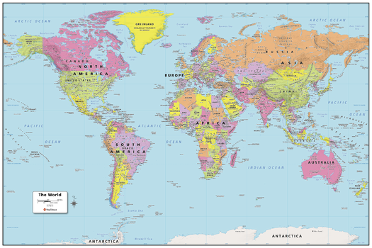
World Political Map
MapSherpa
Created specifically for MapSherpa, this World Political Map shows all the countries and land areas that make up our world. Each country, its capital and major cities are noted, as well as the primary physical and water features such as; mountain ranges, rivers, and lakes. Disputed borders, the international date line as well as world time zones are noted. With multiple sizes available, this is the perfect reference map for home, office, or school use.
Page Size: 36 x 24 in (914 x 610 mm)
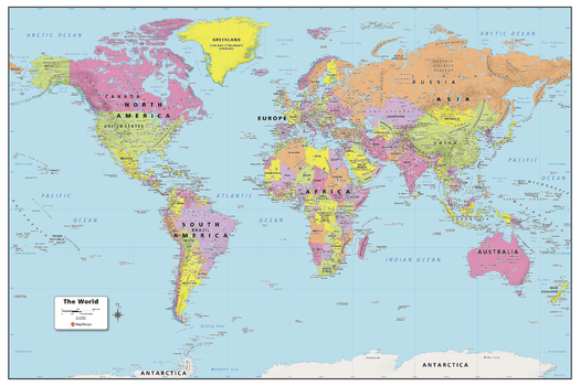
World Political Map - Large
MapSherpa
Created specifically for MapSherpa, this World Political Map shows all the countries and land areas that make up our world. Each country, its capital and major cities are noted, as well as the primary physical and water features such as; mountain ranges, rivers, and lakes. Disputed borders, the international date line as well as world time zones are noted. With multiple sizes available, this is the perfect reference map for home, office, or school use.
Page Size: 48 x 32 in (1219 x 813 mm)
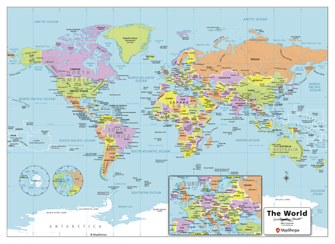
World Political Map - Compact
MapSherpa
Created specifically for MapSherpa, this World Political Map shows all the countries and land areas that make up our world. Each country, its capital and major cities are noted, as well as the primary physical and water features such as; mountain ranges, rivers, and lakes. Disputed borders, the international date line as well as world time zones are noted. With multiple sizes available, this is the perfect reference map for home, office, or school use.
Page Size: 22 x 16 in (559 x 406 mm)
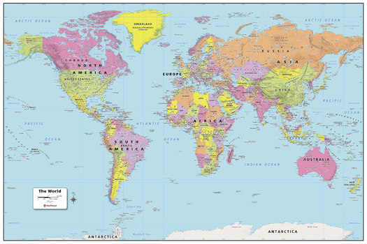
World Political Map - Extra Large
MapSherpa
Created specifically for MapSherpa, this World Political Map shows all the countries and land areas that make up our world. Each country, its capital and major cities are noted, as well as the primary physical and water features such as; mountain ranges, rivers, and lakes. Disputed borders, the international date line as well as world time zones are noted. With multiple sizes available, this is the perfect reference map for home, office, or school use.
Page Size: 60 x 40 in (1524 x 1016 mm)
World Political Wallpaper
Maps International
Politically coloured world wall map features every country as a different colour. All major towns and cities are featured on this map and capital cities are clearly marked. Hill and sea shading add to the vibrant overall effect in this political world map.
World Political with Relief
MapSherpa
This political world map features countries marked in different colours, with international and regional boundaries shown. A hill shading texture enhances the visual appearance of the map. Major towns and cities are displayed with the country capitals clearly marked. Major airports, roads and railway networks are represented, depending on the scale of your map. These wall maps are suitable for home, office or the classroom. Custom maps can be made at scales between 1:500,000 to 1:40,000,000.
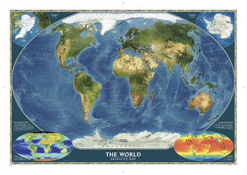
World Satellite
National Geographic
National Geographic's striking satellite map of The World is a visually stunning image that makes a wonderful addition to the wall of any office or study. This detailed composite map draws from more than 500 satellite images to give one-kilometer detail and consistent representation of Earth's natural colors and terrain. Inset maps detail the biosphere, surface temperature, and the polar regions. The beauty and complexity of Earth's landscapes, both above and below the oceans, is revealed with the Global Satellite Mosaic which was produced for National Geographic Society by NASA's Jet Propulsion Laboratory.
Page Size: 43.75 x 30.5 in (1106 x 773 mm)
World Terrain
MapSherpa
Based on Mapbox streets with terrain visualization; shaded relief and elevation contour lines atop OpenStreetMap land-use and land-cover information for the entire world. Appropriate for mapping starting at 1:10,000 and up.
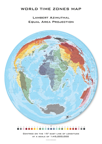
World Time Zones Hexagons centred on 15° East
Oxford Cartographers
World map, with land area made up of hexagons, with coloured time zones, on the Lambert Azimuthal projection, centred on 15° East longitude
Page Size: 23.5 x 33.25 in (594 x 841 mm)
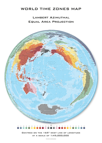
World Time Zones Hexagons centred on 165° West
Oxford Cartographers
World map, with land area made up of hexagons, with coloured time zones, on the Lambert Azimuthal projection, centred on 165° West longitude
Page Size: 23.5 x 33.25 in (594 x 841 mm)
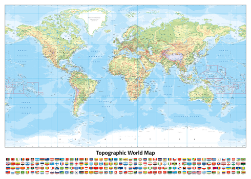
World Topographic (Miller projection)
Oxford Cartographers
World map, with coloured land height layers, on the Miller Projection
Page Size: 33.25 x 23.5 in (841 x 594 mm)
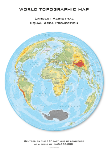
World Topographic Hexagons centred on 15° East
Oxford Cartographers
World map, with land area made up of hexagons, with coloured land height layers, on the Lambert Azimuthal projection, centred on 15° East longitude
Page Size: 23.5 x 33.25 in (594 x 841 mm)
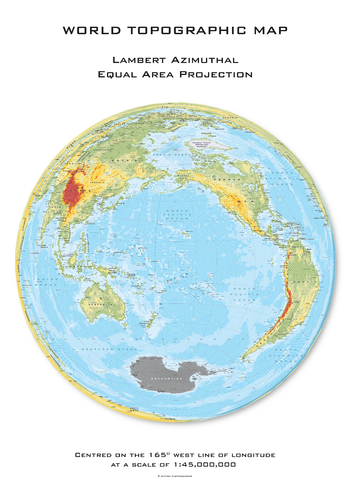
World Topographic Hexagons centred on 165° West
Oxford Cartographers
World map, with land area made up of hexagons, with coloured land height layers, on the Lambert Azimuthal projection, centred on 165° West longitude
Page Size: 23.5 x 33.25 in (594 x 841 mm)
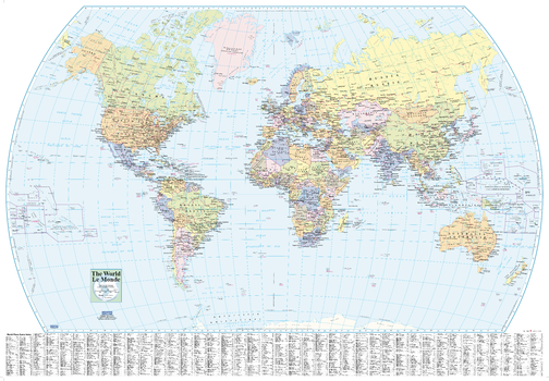
World Wall Map - English and French
Lucidmap
This world wall map has been designed with all text in both French and English, making this an ideal product in Canada for schools, businesses and public areas.
This political map, with a useful place name index, is ideal for classrooms and other public areas.
Page Size: 39.5 x 27.25 in (1003 x 692 mm)

World Wall Map - English and French - Large
Lucidmap
This large world wall map has been designed with all text in both French and English, making this an ideal product in Canada for schools, businesses and public areas.
This political map, with a useful place name index, is ideal for classrooms and other public areas.
Page Size: 54 x 37.5 in (1372 x 953 mm)

World Wall Map of Global Shipping Routes
Inspirit Cartographics
A world map showing the major shipping routes, undersea features, mountain peaks, geographic regions, and cities.
Page Size: 54 x 33 in (1372 x 837 mm)

World Wall Map with Flags - English and French
Lucidmap
This world wall map has been designed with all text in both French and English, making this an ideal product in Canada for schools, businesses and public areas.
This political map, with all the worlds flags, is ideal for classrooms and other public areas.
Page Size: 40 x 28 in (1016 x 711 mm)

World Wall Map with Flags - English and French - Large
Lucidmap
This large world wall map has been designed with all text in both French and English, making this an ideal product in Canada for schools, businesses and public areas.
This political map, with all the worlds flags, is ideal for classrooms and other public areas.
Page Size: 54 x 37.5 in (1372 x 953 mm)
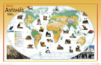
World of Animals - Published in 2004
National Geographic
This colorful, educational map for kids features large photographs of animals throughout the world and indicates the areas where they live. The map shows the earth's vegetation zones in beautiful detail.
Page Size: 38.25 x 24.75 in (969 x 627 mm)
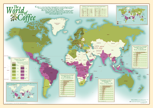
World of Coffee
Oxford Cartographers
World map showing coffee production and consumption
Page Size: 33.25 x 23.25 in (840 x 590 mm)
No search results