


MapSherpa Catalog
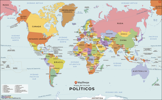
World Map with Countries in Spanish
MapSherpa
A modern World Map in Spanish. Strong color use makes distinguishing each country very easy, and all the labels are in Spanish. The map is clean and clear, and labels all the countries and the most prominent water features. In areas where the countries are too small and or tightly packed to label clearly, a numbering system is used with a corresponding legend in the lower left.
Page Size: 36 x 22.5 in (914 x 569 mm)
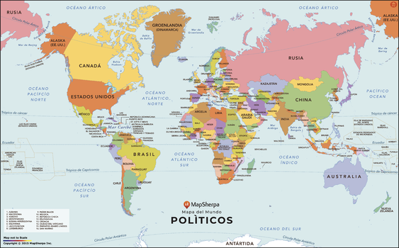
World Map with Countries in Spanish - Compact
MapSherpa
A modern World Map in Spanish. Strong color use makes distinguishing each country very easy, and all the labels are in Spanish. The map is clean and clear, and labels all the countries and the most prominent water features. In areas where the countries are too small and or tightly packed to label clearly, a numbering system is used with a corresponding legend in the lower left.
Page Size: 26.25 x 16.25 in (664 x 413 mm)
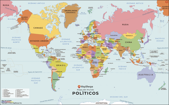
World Map with Countries in Spanish - Extra Large
MapSherpa
A modern World Map in Spanish. Strong color use makes distinguishing each country very easy, and all the labels are in Spanish. The map is clean and clear, and labels all the countries and the most prominent water features. In areas where the countries are too small and or tightly packed to label clearly, a numbering system is used with a corresponding legend in the lower left.
Page Size: 64.5 x 40 in (1634 x 1016 mm)
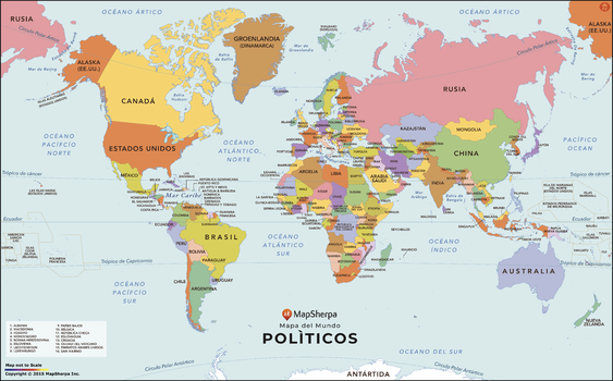
World Map with Countries in Spanish - Large
MapSherpa
A modern World Map in Spanish. Strong color use makes distinguishing each country very easy, and all the labels are in Spanish. The map is clean and clear, and labels all the countries and the most prominent water features. In areas where the countries are too small and or tightly packed to label clearly, a numbering system is used with a corresponding legend in the lower left.
Page Size: 48 x 30 in (1219 x 758 mm)
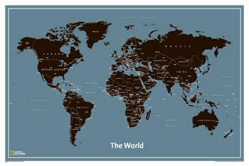
World Modern
National Geographic
Unlike other classroom poster maps, the world maps use the Winkel-Triple projection, which provides the best combination of size, shape, and distance giving the student the best visual representation of the Earth's surface in two dimensions. This solves the effect seen on other maps where Greenland appears larger than South America.
Page Size: 36 x 24 in (914 x 610 mm)
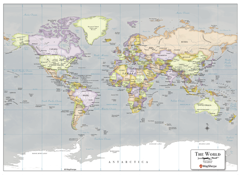
World Modern Map - Compact
MapSherpa
Introducing the MapSherpa Modern World Map, featuring a captivating display of unique colors. This meticulously designed map showcases the beauty of our political world in a contemporary and eye-catching way. With its vibrant hues and precise detailing, it serves as both a decorative piece and a functional tool for any geography enthusiast. Whether you are planning your next adventure or simply adding a touch of sophistication to your space, MapSherpa’s Modern world map is sure to impress.
Page Size: 22 x 16 in (559 x 406 mm)
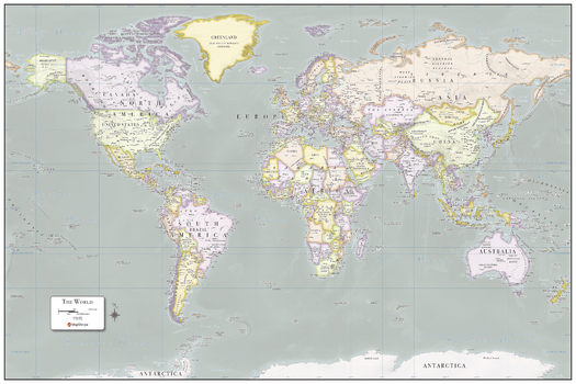
World Modern Map - Poster
MapSherpa
Introducing the MapSherpa Modern World Map, featuring a captivating display of unique colors. This meticulously designed map showcases the beauty of our political world in a contemporary and eye-catching way. With its vibrant hues and precise detailing, it serves as both a decorative piece and a functional tool for any geography enthusiast. Whether you are planning your next adventure or simply adding a touch of sophistication to your space, MapSherpa’s Modern world map is sure to impress.
Page Size: 36 x 24 in (914 x 610 mm)
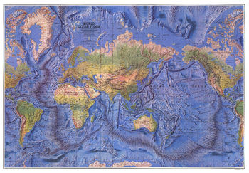
World Ocean Floor - Published 1981
National Geographic
This beautiful physical world map captures the Earth's lands and oceans. Stunning relief shading accentuates the ocean floor, mountain ranges, river valleys, deserts, and continental shelves in amazing detail and beauty. Published in December 1981.
Page Size: 42.5 x 29.5 in (1074 x 745 mm)
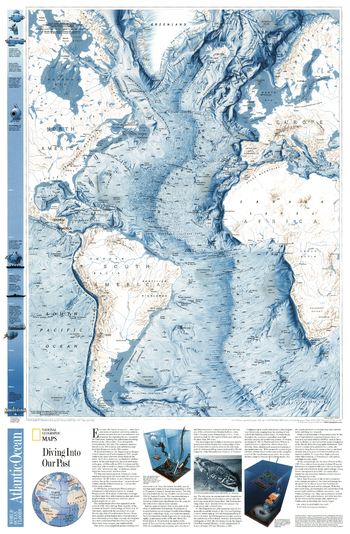
World Ocean Floor, Atlantic - Published 2001
National Geographic
This physical map of the Atlantic Ocean Floor shows continental shelves, fracture zones, ocean depths, and surrounding continents.
Page Size: 20.75 x 31.5 in (523 x 799 mm)
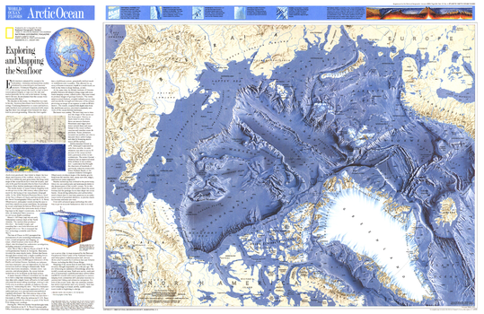
World Ocean Floors, Arctic Ocean - Published 1990
National Geographic
Experience the breathtaking detail of the Arctic Ocean floor with this fascinating map. Includes an explanation of the technology behind the map's amazing cartography in the article "Exploring and Mapping the Seafloor." Published in January 1990, nearly a year after the Exxon Valdez spilled an estimated 11 to 30 million U.S. gallons of crude oil into Prince William Sound, as a companion to the article "Alaska's Big Spill - Can the Wilderness Heal?"
Page Size: 31.5 x 20.5 in (796 x 517 mm)
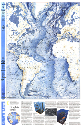
World Ocean Floors, Atlantic Ocean - Published 1990
National Geographic
Experience the breathtaking detail of the Atlantic Ocean floor with this fascinating map. Included on this map is the article "Diving Into Our Past" which explains the technology behind underwater archeaology. The Mediterranean Sea and parts of the South Pacific are also shown on this remarkable work which was published in January 1990 with a map of the Arctic Ocean floor.
Page Size: 20.5 x 31.5 in (519 x 795 mm)
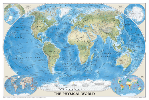
World Physical
National Geographic
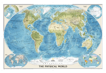
National Geographic's The Physical World map highlights the Earth's land and undersea forms with exquisite hand-painted relief. Drawn in the Winkel Tripel projection, distortions are minimized and unlike many other World maps, Greenland is show the same size as Argentina and not as the size of all of South America. Two corner inset maps show the Earth's crust and world climatic zones.
Page Size: 45.75 x 30.5 in (1162 x 775 mm)
World Physical
MapSherpa
This physical map displays relief features on the earth by colouring the land elevations and water depths. International boundaries, major towns and cities are displayed with the country capitals clearly marked. Major airports, roads and railway networks are represented, depending on the scale of your map. These wall maps are suitable for home, office or the classroom. Custom maps can have a scale from approximately 1:500,000 to 1:40,000,000.

World Physical - Published 1994
National Geographic
This physical world map strikingly captures the lands and oceans of the Earth. See mountain ranges, river valleys, deserts, continental shelves, and ocean floor in amazing detail and beauty. Published in February 1994.
Page Size: 43.25 x 30 in (1093 x 756 mm)
World Physical [Enlarged]
National Geographic
Our World Physical - Ocean Floor map highlights the Earth's land and undersea forms with exquisite hand-painted relief. Drawn in the Winkel Tripel projection to minimize distortion of the landforms. Two corner inset maps show the Earth's crust and world climatic zones.Map is printed on premium quality paper stock, rolled, and wrapped in kraft paper without display packaging.
Page Size: 69.25 x 46.25 in (1759 x 1175 mm)
World Political
MapSherpa
This political world map features countries marked in different colours, with international and regional boundaries shown. Major towns and cities are displayed with the country capitals clearly marked. Major airports, roads and railway networks are represented, depending on the scale of your map. These wall maps are suitable for home, office or the classroom. Custom maps can be made at scales between 1:500,000 to 1:40,000,000.
World Political - Published 1994
National Geographic
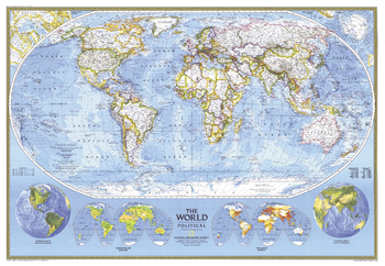
This political world map continues the long tradition of fine cartography for which National Geographic is known. Published in 1994.
Page Size: 43.25 x 30 in (1093 x 756 mm)
World Political (Miller projection)
Oxford Cartographers
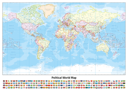
World map, politically coloured, on the Miller Projection
Page Size: 33.25 x 23.5 in (841 x 594 mm)
World Political Hexagons centred on 15° East
Oxford Cartographers
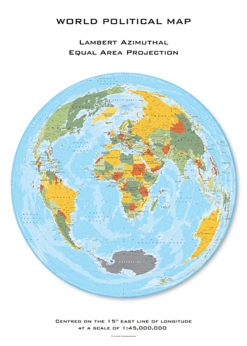
World map, with land area made up of hexagons, politically coloured, on the Lambert Azimuthal projection, centred on 15° East longitude
Page Size: 23.5 x 33.25 in (594 x 841 mm)
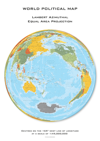
World Political Hexagons centred on 165° West
Oxford Cartographers
World map, with land area made up of hexagons, politically coloured, on the Lambert Azimuthal projection, centred on 165° West longitude
Page Size: 23.5 x 33.25 in (594 x 841 mm)
No search results