


MapSherpa Catalog
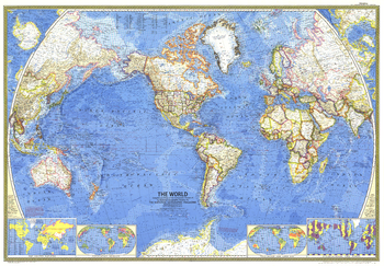
World - Published 1965
National Geographic
This stunning world map contains beautiful colors and the distinct National Geographic cartographic style, as well as detailed ocean bathymetry and information about ocean currents. Published in February 1965 as a companion to the article "Four-Ocean Navy in the Nuclear Age."
Page Size: 42.5 x 29.5 in (1076 x 748 mm)
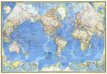
World - Published 1970
National Geographic
A great map is as much a reflection of its time in history as its beautiful craftsmanship. This map presents the world in classic National Geographic style: stunning colors, detailed geographical information, and timely insets. Published in 1970.
Page Size: 42.25 x 29.5 in (1072 x 746 mm)
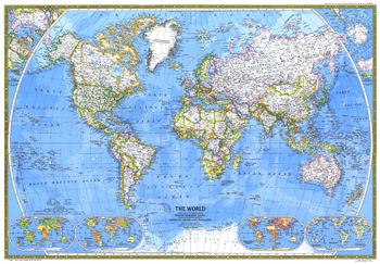
World - Published 1981
National Geographic
This classic World Map beautifully showcases cartograhic excellence and fine attention to detail, using strong colors, detailed geographical information, and informative insets. Published in December 1981.
Page Size: 42.5 x 29.5 in (1074 x 746 mm)
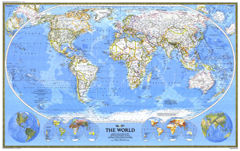
World - Published 1988
National Geographic
This world map combines the classic National Geographic cartographic style with several stunning inset maps to provide a comprehensive look at our planet. Insets include Eastern and Western Hemisphere physical geography, Religions of the World, and Population maps. Published on the National Geographic centennial in December 1988 as a companion to the article "Earth '88: Will We Mend Our Earth?"
Page Size: 46 x 29 in (1166 x 737 mm)
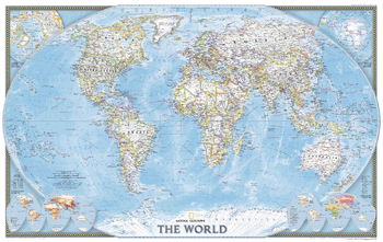
World - Published 2004
National Geographic
Published in November 2004, this political map of the world will look handsome framed and mounted on any wall. Inset maps of the polar regions as well as language families and population density make this map as informative as it is attractive. This map was originally printed as half of a two-map set with "Earth at Night."
Page Size: 35.25 x 22.25 in (890 x 562 mm)
World Antique Wallpaper
Maps International
A popular antique world map with artistic antique-style muted tones. Up-to-date political detail (countries shaded in different tones), country boundaries and cities are shown.
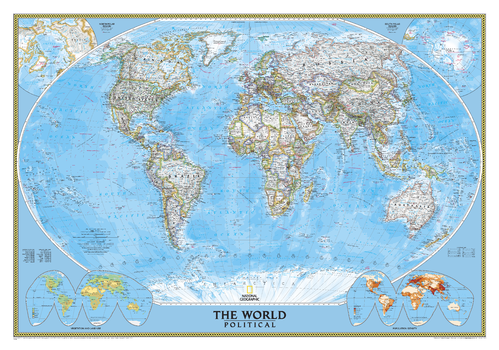
World Classic
National Geographic
National Geographic's World map is the standard by which all other reference maps are measured. The World map is meticulously researched and adheres to National Geographic's convention of making independent, apolitical decisions based on extensive research using multiple authoritative source.The signature Classic style map uses a bright, easy to read color palette featuring blue oceans and stunning shaded relief that has been featured on National Geographic wall maps for over 75 years. Drawn in the Winkel Tripel projection, distortions are minimized and unlike many other World maps, Greenland is show the same size as Argentina and not as the size of all of South America.Thousands of place names are carefully and artistically placed on the map to maintain legibility even in the heavily populated areas of Europe, Asia and the Middle East. Details include clearly defined international boundaries, cities, physical features, rivers, and ocean floor features. Corner inset maps feature vegetation and land use, and population density as well as the north and south polar regions.
Page Size: 43.75 x 30.5 in (1106 x 773 mm)
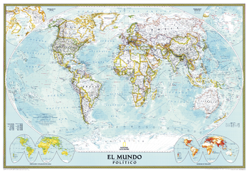
World Classic Spanish - Published in 2005
National Geographic
National Geographic's Classic World Map translated to Spanish features the Winkel Tripel projection to reduce distortion of land masses as they near the poles. This creates the most visually accurate representation of Earth's land-masses, versus other projections. The Classic series includes blue oceans, easy-to-read colorful boundaries, and National Geographic's proprietary fonts. Up-to-date and very detailed, with thousands of named places such as countries, oceans, major cities, geographic features. Subtle, easy-to-read border coloring on land. Prevailing winds and ocean currents at sea. Separate insets show the North and South Polar Regions, world vegetation and land use, and world population density.
Page Size: 39.25 x 27 in (991 x 684 mm)
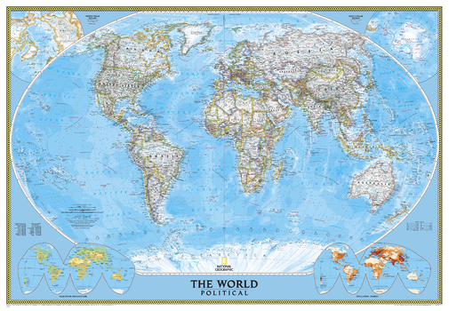
World Classic [Enlarged]
National Geographic
Enjoy the accuracy and beauty of the latest world map from the cartographers at National Geographic. This map features the Winkel Tripel projection to reduce distortion of land masses as they near the poles. Features include subtle border coloring on land, and prevailing winds and ocean currents at sea. Separate insets show the North and South Polar Regions, world vegetation and land use, and world population density.
Page Size: 69.25 x 48 in (1759 x 1219 mm)
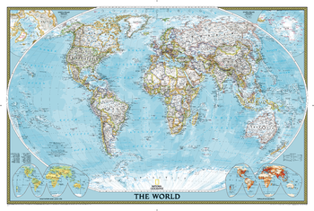
World Classic [Poster Size]
National Geographic
National Geographic's World map is the standard by which all other reference maps are measured. The World map is meticulously researched and adheres to National Geographic's convention of making independent, apolitical decisions based on extensive research using multiple authoritative source.The signature Classic style map uses a bright, easy to read color palette featuring blue oceans and stunning shaded relief that has been featured on National Geographic wall maps for over 75 years. Drawn in the Winkel Tripel projection, distortions are minimized and unlike many other World maps, Greenland is show the same size as Argentina and not as the size of all of South America.Thousands of place names are carefully and artistically placed on the map to maintain legibility even in the heavily populated areas of Europe, Asia and the Middle East. Details include clearly defined international boundaries, cities, physical features, rivers, and ocean floor features. Corner inset maps feature vegetation and land use, and population density as well as the north and south polar regions.Poster sized maps make a perfect addition to any sized space. They are specially designed to maximize content in a smaller footprint than standard wall maps and fit precisely into precut poster sized frames which makes finishing and hanging them a breeze.
Page Size: 36 x 24 in (914 x 610 mm)
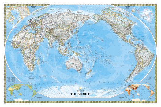
World Classic, Pacific Centered
National Geographic
National Geographic's World map is the standard by which all other reference maps are measured. The World map is meticulously researched and adheres to National Geographic's convention of making independent, apolitical decisions based on extensive research using multiple authoritative source.The signature Classic style map uses a bright, easy to read color palette featuring blue oceans and stunning shaded relief that has been featured on National Geographic wall maps for over 75 years. The Pacific Centered World map employs a unique view to accentuate the Pacific Rim, and focuses on Oceania and Asia and while showing the entire breadth of the Pacific Ocean. Drawn in the Winkel Tripel projection, distortions are minimized and unlike many other World maps, Greenland is show the same size as Argentina and not as the size of all of South America.Thousands of place names are carefully and artistically placed on the map to maintain legibility even in the heavily populated ares of Europe, Asia and the Middle East. Details include clearly defined international boundaries, cities, physical features, rivers, and ocean floor features. Corner inset maps feature vegetation and land use, and population density as well as the north and south polar regions.
Page Size: 46 x 30.5 in (1166 x 773 mm)
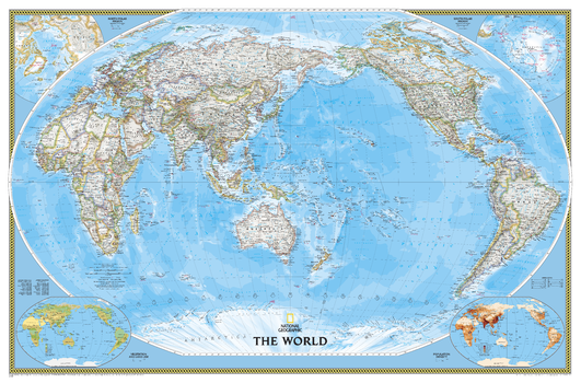
World Classic, Pacific Centered [Enlarged]
National Geographic
National Geographic's World map is the standard by which all other reference maps are measured. The World map is meticulously researched and adheres to National Geographic's convention of making independent, apolitical decisions based on extensive research using multiple authoritative source.The signature Classic style map uses a bright, easy to read color palette featuring blue oceans and stunning shaded relief that has been featured on National Geographic wall maps for over 75 years. The Pacific Centered World map employs a unique view to accentuate the Pacific Rim, and focuses on Oceania and Asia and while showing the entire breadth of the Pacific Ocean. Drawn in the Winkel Tripel projection, distortions are minimized and unlike many other World maps, Greenland is show the same size as Argentina and not as the size of all of South America.Thousands of place names are carefully and artistically placed on the map to maintain legibility even in the heavily populated ares of Europe, Asia and the Middle East. Details include clearly defined international boundaries, cities, physical features, rivers, and ocean floor features. Corner inset maps feature vegetation and land use, and population density as well as the north and south polar regions.Enlarged maps provide an immersive experience in any home or office environment. The exceptional cartography is even easier to appreciate at the larger size.
Page Size: 73 x 48 in (1852 x 1219 mm)
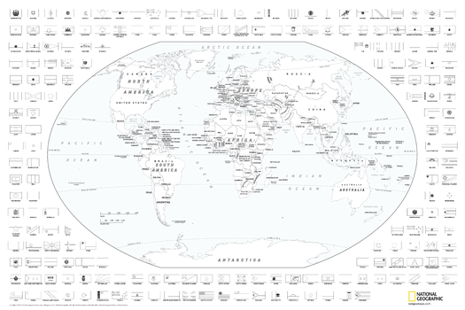
World Coloring Map with Flags
National Geographic
Map of the world suitable for coloring. Oceans and major water bodies shown in blue.
Page Size: 36 x 24 in (914 x 610 mm)
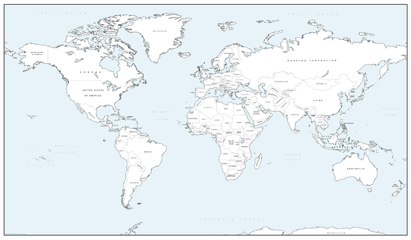
World Colouring Map - Big
Cosmographics
Make learning fun and be creative. Buy this simple World map as a gift, or for you and your family to colour and help learn the countries at the same time.
Page Size: 27.75 x 16.25 in (700 x 410 mm)
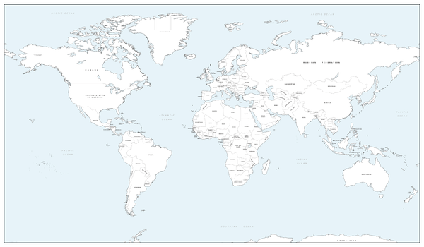
World Colouring Map - Giant
Cosmographics
Make learning fun and be creative. Buy this simple World map as a gift, or for you and your family to colour and help learn the countries at the same time.
Page Size: 53.5 x 31.25 in (1355 x 790 mm)
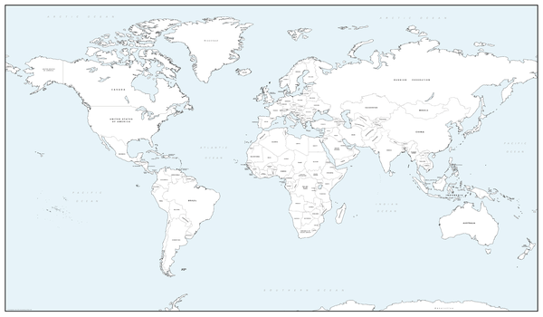
World Colouring Map - Large
Cosmographics
Make learning fun and be creative. Buy this simple World map as a gift, or for you and your family to colour and help learn the countries at the same time.
Page Size: 40.25 x 23.5 in (1020 x 595 mm)
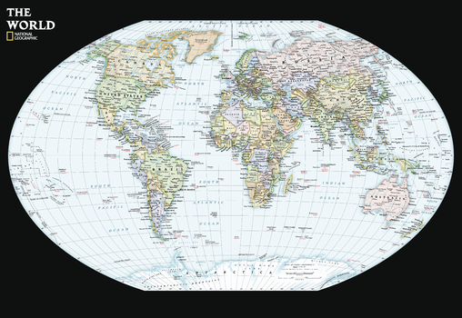
World Contemporary Wall Map - Compact
National Geographic
Available for the first time, from a name you trust, the National Geographic World Contemporary Wall Map Compact. Developed and researched to the standards that only National Geographic can live up to. Designed specifically to comfortably fit on your business or school desk, or a spot on your wall. Presenting the right amount of information to be compact and readable, this map features the Winkel Tripel Projection.
Page Size: 23.25 x 16 in (589 x 406 mm)
World Decorator
National Geographic
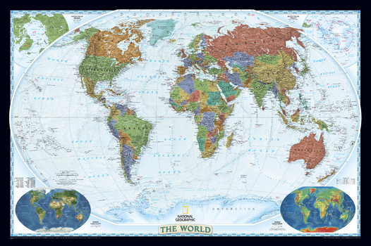
National Geographic's World map is the standard by which all other reference maps are measured. The World map is meticulously researched and adheres to National Geographic's convention of making independent, apolitical decisions based on extensive research using multiple authoritative source.The Decorator style World map uses a vibrant color palette that fills each country for easy identification and stunning shaded relief that will stand out as a beautiful piece of cartographic artistry. Drawn in the Winkel Tripel projection, distortions are minimized and unlike many other World maps, Greenland is show the same size as Argentina and not as the size of all of South America.Thousands of place names are carefully and artistically placed on the map to maintain legibility even in the heavily populated ares of Europe, Asia and the Middle East. Details include clearly defined international boundaries, cities, physical features, rivers, and ocean floor features. Corner inset maps feature vegetation and land use, and population density as well as the north and south polar regions.
Page Size: 46 x 30.5 in (1166 x 773 mm)
World Decorator [Enlarged]
National Geographic
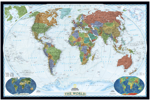
National Geographic's World map is the standard by which all other reference maps are measured. The World map is meticulously researched and adheres to National Geographic's convention of making independent, apolitical decisions based on extensive research using multiple authoritative source.The Decorator style World map uses a vibrant color palette that fills each country for easy identification and stunning shaded relief that will stand out as a beautiful piece of cartographic artistry. Drawn in the Winkel Tripel projection, distortions are minimized and unlike many other World maps, Greenland is show the same size as Argentina and not as the size of all of South America.Thousands of place names are carefully and artistically placed on the map to maintain legibility even in the heavily populated ares of Europe, Asia and the Middle East. Details include clearly defined international boundaries, cities, physical features, rivers, and ocean floor features. Corner inset maps feature vegetation and land use, and population density as well as the north and south polar regions.Enlarged maps provide an immersive experience in any home or office environment. The exceptional cartography is even easier to appreciate at the larger size.
Page Size: 73 x 48 in (1852 x 1219 mm)
World Environmental (Miller projection)
Oxford Cartographers
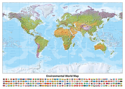
World map, with environmental colours (vegetation/desert/ice), on the Miller Projection
Page Size: 33.25 x 23.5 in (841 x 594 mm)
No search results