


MapSherpa Catalog
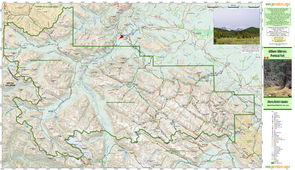
Willmore Wilderness Provincial Park
GoTrekkers
Willmore Wilderness Provincial Park
Page Size: 45 x 26 in (1143 x 660 mm)
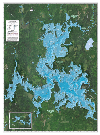
Willow Reservoir
Mapping Specialists
An Attractive map of the lake showing a visual 3D representation of the lake bottom. Includes boat launches, rock area and vegetation. Land area is high resolution aerial imagery.
Page Size: 27.75 x 37.25 in (704 x 943 mm)
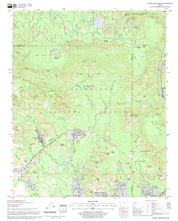
Wilson Mountain Quadrangle, Arizona
United States Forest Service
United States Department of Agriculture Forestry Service topographical map of Wilson Mountain, Coconino National Forest, Arizona.
Page Size: 21.75 x 27 in (552 x 686 mm)
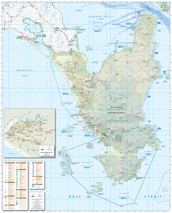
Wilsons Promontory, Victoria Topographic Map
Spatial Vision
Outdoor Recreation Guide of Wilsons Promontory National Park in Victoria for Bushwalking, camping, picnicking and water activities
Page Size: 32 x 39.5 in (810 x 1000 mm)
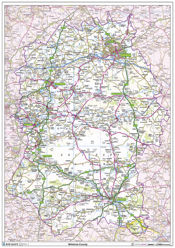
Wiltshire County Map
XYZ Maps
This is a large ceremonial county map of Wiltshire highlighting the county border, with the surrounding area faded out for excellent contrast. The map covers Bradford on Avon, Chippenham, Devizes, Malmesbury, Marlborough, Melksham, Salisbury, Swindon, Trowbridge and Warminster. The county map shows the latest County and Unitary Authority Boundaries, overlaid on a clear and easy to read Ordnance Survey map.
Page Size: 33.25 x 47 in (841 x 1189 mm)
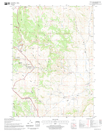
Wind Cave Quadrangle, South Dakota
United States Forest Service
United States Department of Agriculture Forestry Service topographical map of Wind Cave, Black Hills National Forest, South Dakota.
Page Size: 21.75 x 27 in (552 x 686 mm)
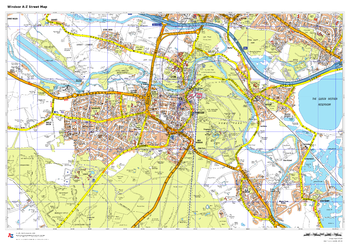
Windsor A-Z Street Map
A-Z Maps
This up-to-date A-Z street map covers Windsor and the immediate area, showing the town centre with Windsor Castle. Other areas included: Eton, Clewer, Dedworth, Old Windsor, Datchet, Horton.
Page Size: 33.25 x 23.5 in (841 x 594 mm)
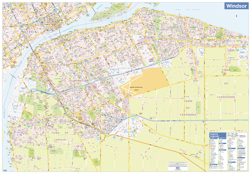
Windsor Wall Map - Street Detail
Lucidmap
This wall map shows highly detailed local information for the city of Windsor. Full street labeling along with transit information, parks, schools, churches and landmarks throughout the city are displayed.
The map has been designed in a very clear and legible manner with a traditional Canadian street map style embraced by map buyers over many years.
Page Size: 54 x 37.5 in (1372 x 953 mm)
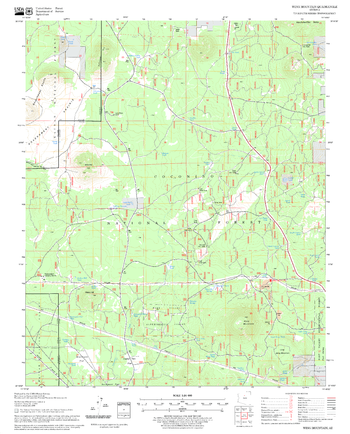
Wing Mountain Quadrangle, Arizona
United States Forest Service
United States Department of Agriculture Forestry Service topographical map of Wing Mountain, Coconino National Forest, Arizona.
Page Size: 21.75 x 27 in (552 x 686 mm)
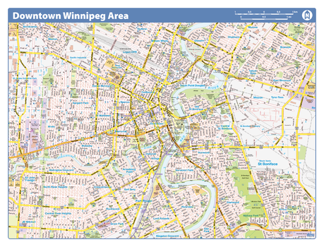
Winnipeg Downtown - Compact
Lucidmap
Map of downtown Winnipeg showing all roads, road names, political boundaries, transit, points of interest, parks, schools, churches, public buildings and landmarks.
Page Size: 21.5 x 16.25 in (546 x 413 mm)
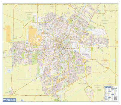
Winnipeg Wall Map - Street Detail
Lucidmap
This wall map shows highly detailed local information of the city of Winnipeg. Full street labeling along with transit information, parks, schools, churches and landmarks throughout the city are displayed.
The map has been designed in a very clear and legible manner with a traditional Canadian street map style embraced by map buyers over many years.
Page Size: 44 x 37.5 in (1118 x 953 mm)
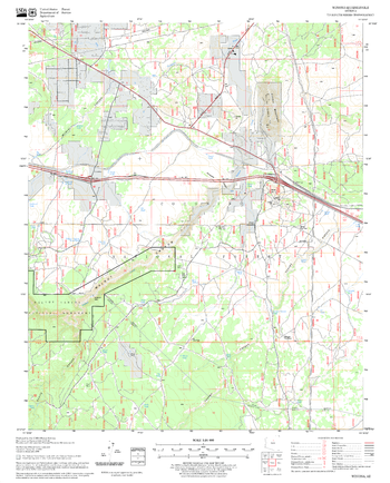
Winona Quadrangle, Arizona
United States Forest Service
United States Department of Agriculture Forestry Service topographical map of Winona, Coconino National Forest, Arizona.
Page Size: 21.75 x 27 in (552 x 686 mm)
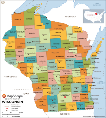
Wisconsin Counties Map - Extra Large
MapSherpa
This map has been created exclusively for MapSherpa, and designed for reference or business use. Clear and clean colors & fonts matched with cartographic research makes this map of the 72 Wisconsin counties easily readable and useful.
Page Size: 60 x 66.75 in (1524 x 1689 mm)
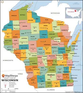
Wisconsin Counties Map - Large
MapSherpa
This map has been created exclusively for MapSherpa, and designed for reference or business use. Clear and clean colors & fonts matched with cartographic research makes this map of the 72 Wisconsin counties easily readable and useful.
Page Size: 48 x 53.25 in (1219 x 1351 mm)
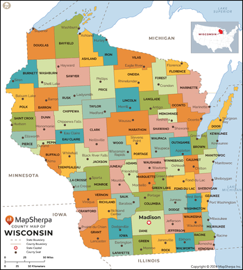
Wisconsin Counties Map - Standard
MapSherpa
This map has been created exclusively for MapSherpa, and designed for reference or business use. Clear and clean colors & fonts matched with cartographic research makes this map of the 72 Wisconsin counties easily readable and useful.
Page Size: 36 x 40 in (914 x 1014 mm)
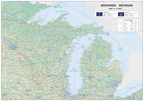
Wisconsin Michigan
Sparrow Maps
A detailed physical map of Wisconsin and Michigan, USA, with land cover and relief features and including National Parks showing administrative divisions, state capitals, county seats and other settlements, roads and airports. The state flag, area and population are included for each state. One of a series of attractive maps of US states giving a comprehensive overview.
Page Size: 33.25 x 23.5 in (841 x 594 mm)
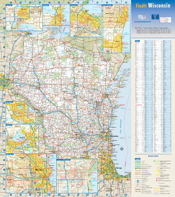
Wisconsin State Wall Map
Globe Turner
This colorful, easy-to-read state map of Wisconsin identifies all major thoroughfares, secondary roads, freeway interchanges, rest areas, distance markers, landmarks, recreational areas, and more. Shaded relief on the state map provides a three-dimensional sense of Wisconsin's topography. Detailed city inset maps of Appleton, Green Bay, Madison, Milwaukee, Oshkosh, and Racine/Kenosha are based on the latest street information from our cartographic experts. County and city indices make it simple to locate even the smallest town.
Page Size: 18.5 x 20.75 in (467 x 524 mm)
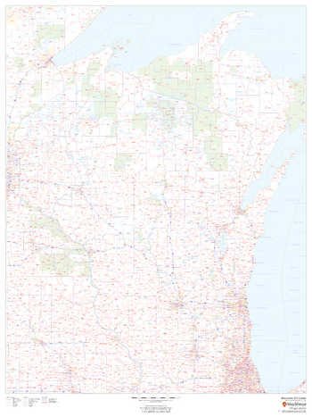
Wisconsin ZIP Code Map
MapSherpa
This map of Wisconsin shows ZIP codes overlaid on a road map. Base map features include county boundaries, major road network features, and state and national parks and conservation areas.
Page Size: 36 x 48 in (914 x 1219 mm)
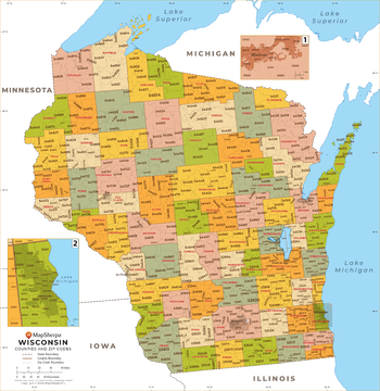
Wisconsin ZIP Code Map with Counties - Extra Large
MapSherpa
This map has been created exclusively for MapSherpa, and designed for business or reference use. Clear and clean colors & fonts matched with cartographic research makes this map of Wisconsin's counties and ZIP codes easily readable and useful.
Page Size: 60 x 62 in (1524 x 1569 mm)
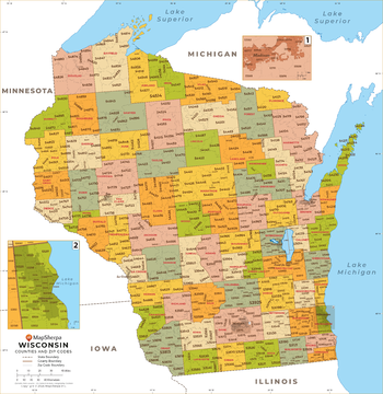
Wisconsin ZIP Code Map with Counties - Large
MapSherpa
This map has been created exclusively for MapSherpa, and designed for business or reference use. Clear and clean colors & fonts matched with cartographic research makes this map of Wisconsin's counties and ZIP codes easily readable and useful.
Page Size: 48 x 49.5 in (1219 x 1255 mm)
No search results