


MapSherpa Catalog
Wetlands
Natural Resources Canada
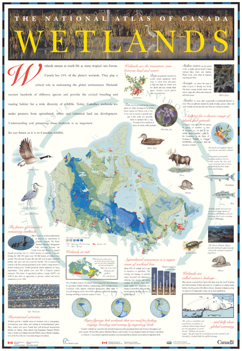
Contained within the Atlas of Canada Poster Map Series, is a poster which outlines the nature of wetlands, using photos and text to describe various types. A further set of photos and text describes the importance of wetlands, and the pressures on wetlands from human activities. The central map on the poster, a map of Canada at a scale of approximately 1: 20 000 000 shows the distribution of wetlands in Canada, and also the flyways of migratory birds (as these birds depend heavily on wetlands when migrating).
Page Size: 26.75 x 38.75 in (679 x 984 mm)
Weymouth A-Z Street Map
A-Z Maps
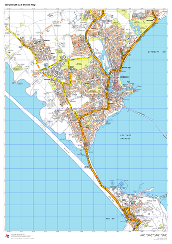
This up-to-date A-Z street map covers Weymouth and the immediate suburbs, showing the town centre with Weymouth Harbour. Other areas included: Wyke Regis, Chickerell, Radipole, Melcombe Regis, Westham.
Page Size: 23.5 x 33.25 in (594 x 841 mm)
Whaleback Creek
GoTrekkers
Whaleback Creek
Page Size: 27 x 41 in (686 x 1041 mm)
Whales of the World
National Geographic
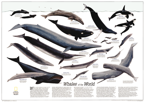
The Whales of the World poster was printed in December 1976 as a supplement to the Great Whales map. Featuring an overview article about whales, information about each species, and beautiful paintings by Larry Foster, this work is a must-have for anyone enamored of these magnificent giants of the sea. The poster was reprinted in 1998.
Page Size: 29.75 x 21.25 in (755 x 536 mm)
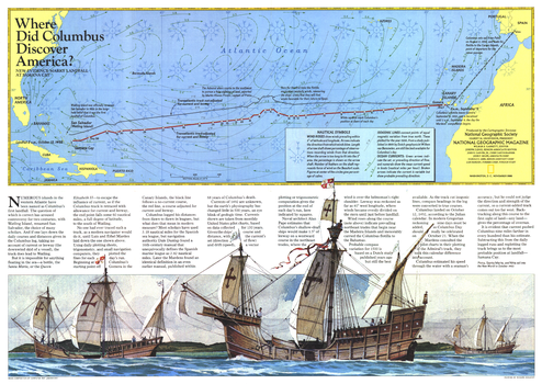
Where Did Columbus Discover America? - Published 1986
National Geographic
The exact site of Christopher Columbus's first landfall in the New World has been a controversial subject since his arrival in The Bahamas in 1492. Watling Island, renamed San Salvador, has been the choice of many scholars. A new theory presented by Luis and Ethel Marden, who tracked the journey presented on this map, points to Samana Cay. Published in National Geographic Magazine in November 1986 with the "Threading the Islands" map and three articles on Columbus.
Page Size: 20.5 x 14.5 in (519 x 368 mm)
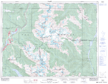
Whistler - 92 J/2 - British Columbia
Natural Resources Canada
Canadian topographic map of Whistler, British Columbia. NTS sheet 092J02 Edition 3.
Page Size: 32.5 x 25.5 in (821 x 642 mm)
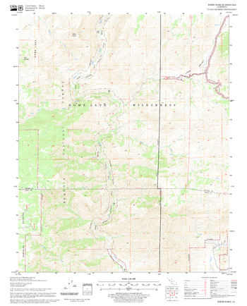
White Dome Quadrangle, California
United States Forest Service
United States Department of Agriculture Forestry Service topographical map of White Dome, Sequoia National Forest, California.
Page Size: 21.75 x 27 in (552 x 686 mm)
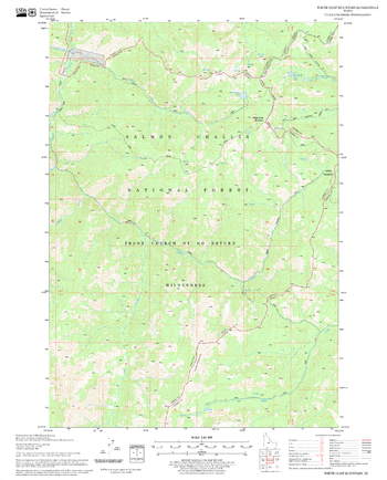
White Goat Mountain Quadrangle, Idaho
United States Forest Service
United States Department of Agriculture Forestry Service topographical map of White Goat Mountain, Salmon-Chalis National Forest, Idaho.
Page Size: 21.75 x 27 in (552 x 686 mm)
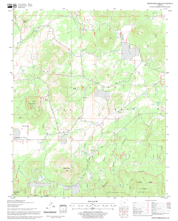
White Horse Hills Quadrangle, Arizona
United States Forest Service
United States Department of Agriculture Forestry Service topographical map of White Horse Hills, Coconino National Forest, Arizona.
Page Size: 21.75 x 27 in (552 x 686 mm)
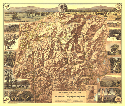
White Mountains of New Hampshire - Published 1937
National Geographic
Appearing in National Geographic Magazine in July 1937, the White Mountains of New Hampshire map highlights the scenic points of interest and outdoor activities to be enjoyed in this lovely region. The map's mountain relief and border of sketches make it a perfect wall-hanging.
Page Size: 20 x 17 in (507 x 429 mm)
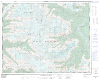
Whitemantle Creek - 92 N/3 - British Columbia
Natural Resources Canada
Canadian topographic map of Whitemantle Creek, British Columbia. NTS sheet 092N03 Edition 1.
Page Size: 31.75 x 25.5 in (805 x 641 mm)
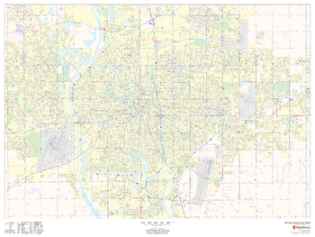
Wichita, Kansas Inner Metro - Landscape
MapSherpa
This landscape-oriented map of central Wichita, Kansas shows detailed street level information including extensive street labeling. Ideal for planning of deliveries, home services, sales territories, real estate and much more. Base map features include all roads with major roads and highways labelled; neighborhood names; railways; high level land use such as parks and recreation areas, industrial areas and hospital campuses; and a variety of points of interest including schools, libraries, stadiums, museums, border crossings and more.
Page Size: 48 x 36 in (1219 x 914 mm)
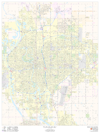
Wichita, Kansas Inner Metro - Portrait
MapSherpa
This portrait-oriented map of central Wichita, Kansas shows detailed street level information including extensive street labeling. Ideal for planning of deliveries, home services, sales territories, real estate and much more. Base map features include all roads with major roads and highways labelled; neighborhood names; railways; high level land use such as parks and recreation areas, industrial areas and hospital campuses; and a variety of points of interest including schools, libraries, stadiums, museums, border crossings and more.
Page Size: 36 x 48 in (914 x 1219 mm)
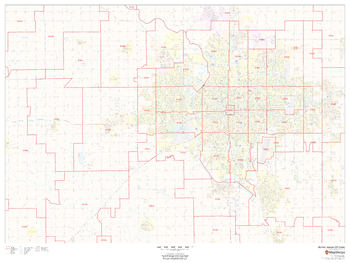
Wichita, Kansas ZIP Codes
MapSherpa
This map of Wichita, Kansas shows ZIP code areas overlaid on a road map. Ideal for planning of deliveries, home services, sales territories, real estate and much more. Base map features include all roads with major roads and highways labelled; neighborhood names; railways; and high level land use such as parks and recreation areas, industrial areas and hospital campuses.
Page Size: 48 x 36 in (1219 x 914 mm)
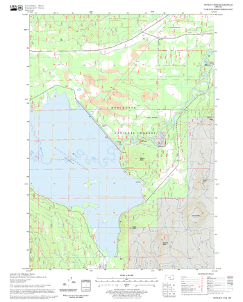
Wickiup Dam Quadrangle, Oregon
United States Forest Service
United States Department of Agriculture Forestry Service topographical map of Wickiup Dam, Deschutes National Forest, Oregon.
Page Size: 21.75 x 27 in (552 x 686 mm)
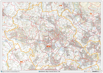
Wigan - WN - Postcode Wall Map
XYZ Maps
The Wigan Postcode Sector Wall Map shows detailed postcode sector boundaries (WN1 1, WN1 2) on a comprehensive background and is perfect for determining postcode boundaries for sales areas, planning mailshots and also an excellent reference for logistics. This wall map covers the whole of the WN Postcode Area.
Page Size: 47 x 33.25 in (1189 x 841 mm)
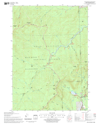
Wild River Quadrangle, New Hampshire-Vermont
United States Forest Service
United States Forestry Service topographical map of Wild River, New Hampshire-Vermont
Page Size: 21.75 x 27 in (552 x 686 mm)
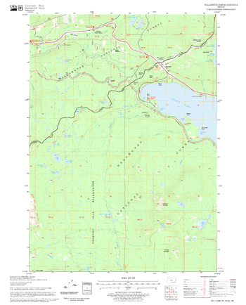
Willamette Pass Quadrangle, Oregon
United States Forest Service
United States Department of Agriculture Forestry Service topographical map of Willamette Pass, Deschutes National Forest, Oregon.
Page Size: 21.75 x 27 in (552 x 686 mm)
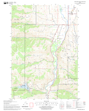
Williams Lake Quadrangle, Idaho
United States Forest Service
United States Department of Agriculture Forestry Service topographical map of Williams Lake, Salmon-Chalis National Forest, Idaho.
Page Size: 21.75 x 27 in (552 x 686 mm)
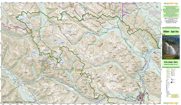
Willmore Jasper Area
GoTrekkers
Willmore Jasper Area
Page Size: 44 x 25.5 in (1118 x 648 mm)
No search results