


MapSherpa Catalog
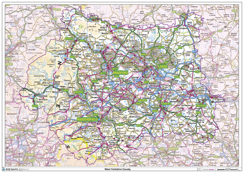
West Yorkshire County Map
XYZ Maps
This is a large ceremonial county map of West Yorkshire, highlighting the county border, with the surrounding area faded out for excellent contrast. The map covers Bradford, Dewsbury, Halifax, Huddersfield, Leeds, and Wakefield. The county map shows the latest County and Unitary Authority Boundaries, overlaid on a clear and easy to read Ordnance Survey map.
Page Size: 47 x 33.25 in (1189 x 841 mm)
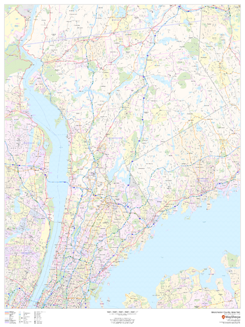
Westchester County, New York
MapSherpa
This map of Westchester County, New York shows regional level information. Base map features include highways and major roads with labelling; neighborhood names; railways; high level land use such as parks and recreation areas, industrial areas and hospital campuses; and a selection of points of interest including transportation hubs like airports and train stations, tourist information, police stations and shopping centres. ZIP code boundaries are shown as a secondary map feature.
Page Size: 36 x 48 in (914 x 1219 mm)
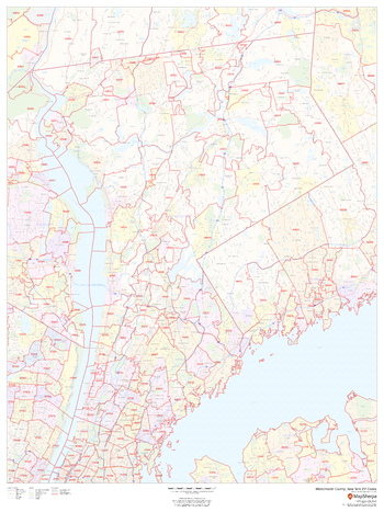
Westchester County, New York ZIP Codes
MapSherpa
This map of Westchester County, New York shows ZIP code areas overlaid on a road map. Ideal for planning of deliveries, home services, sales territories, real estate and much more. Base map features include all roads with major roads and highways labelled; neighborhood names; railways; and high level land use such as parks and recreation areas, industrial areas and hospital campuses.
Page Size: 36 x 48 in (914 x 1219 mm)

Western Australia State Supermap
Hema Maps
A large state map of Western Australia that is an ideal travel reference and wall map.
Page Size: 39.5 x 56.5 in (1001 x 1430 mm)

Western Australia State Wall Map
Hardie Grant
Western Australia state map coverage including an inset with coverage of south west Western Australia at a scale of 1: 1 870 000 covering Lancelin & Kalgoorlie-Boulder in the north , Albany in the south & Norseman & Esperance in the east. This map clearly shows dual carriageways, national highways, and other roads, distances between towns, route numbers, towns with an indication of the size of each town and also comprehensive listing of towns, localities & homesteads. Also included are Visitor Information Centres, Deserts, Reserves, National & Marine Parks . This is an easy to read map that will help you find your way around Western Australia with ease and is ideal for both travel & business. Maps are also available for other Australian states & territories for a comprehensive coverage of Australia.
Page Size: 27.25 x 36.25 in (690 x 920 mm)

Western Australia State Wall Map
Hema Maps
A state map of Western Australia that is an ideal travel reference and wall map.
Page Size: 27.75 x 39.5 in (700 x 1000 mm)
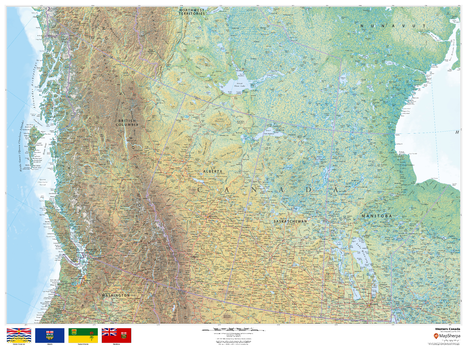
Western Canada
MapSherpa
This beautiful map shows physical and political features for Western Canada. Relief shading and the use of different colours by height above sea level are both informative and attractive.
Page Size: 48 x 36 in (1219 x 914 mm)
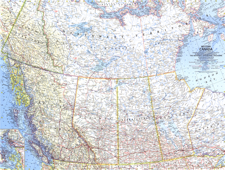
Western Canada - Published 1966
National Geographic
This map lets you explore the stunning landscape of Western Canada. Published in September 1966 with the article "Canadian Rockies, Lords of a Beckoning Land." Makes a fine companion to the maps of Central Canada (1963) and Eastern Canada (1967).
Page Size: 25 x 19 in (632 x 478 mm)
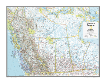
Western Canada - Atlas of the World, 10th Edition
National Geographic
Page Size: 28 x 22 in (711 x 559 mm)
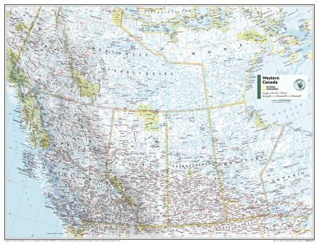
Western Canada - Atlas of the World, 11th Edition
National Geographic
This Western Canada map can fit in any space. Showcasing the region in stunning detail with state-of-the-art cartographic techniques delivering accuracy and exceptional quality, the innovative and engaging design makes the content easily accessible and user-friendly.
Ideal for classrooms with an emphasis on teaching geography or environmental themes. The inclusion of physical features gives your students a genuine feel for how our world appears.
This map uses a bright, easy to read color palette featuring blue oceans and stunning shaded relief that has been featured on National Geographic wall maps for over 75 years. It is drawn in the Albers Conic Equal-Area projection, which uses two standard parallels between which distortion is minimized, however scale and shape is not preserved.
Names of geographic features are carefully placed on the map to maintain legibility, and the contrasts between Canada's populated and unpopulated areas are on brilliant display.
This map is found in National Geographic's 11th Edition World Atlas and is now available as a stand alone product.
Page Size: 31.5 x 24 in (798 x 610 mm)
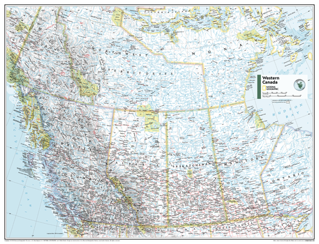
Western Canada - Atlas of the World, 11th Edition - Compact
National Geographic
This Western Canada map can fit in any space. Showcasing the region in stunning detail with state-of-the-art cartographic techniques delivering accuracy and exceptional quality, the innovative and engaging design makes the content easily accessible and user-friendly.
Ideal for classrooms with an emphasis on teaching geography or environmental themes. The inclusion of physical features gives your students a genuine feel for how our world appears.
This map uses a bright, easy to read color palette featuring blue oceans and stunning shaded relief that has been featured on National Geographic wall maps for over 75 years. It is drawn in the Albers Conic Equal-Area projection, which uses two standard parallels between which distortion is minimized, however scale and shape is not preserved.
Names of geographic features are carefully placed on the map to maintain legibility, and the contrasts between Canada's populated and unpopulated areas are on brilliant display.
This map is found in National Geographic's 11th Edition World Atlas and is now available as a stand alone product.
Page Size: 21.5 x 16.25 in (540 x 413 mm)
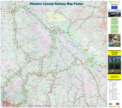
Western Canada Railway Map
GoTrekkers
Western Canada Railway Map
Page Size: 40 x 35.5 in (1016 x 902 mm)
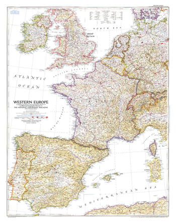
Western Europe - Published 1950
National Geographic
Published in December 1950, the Western Europe map is a snapshot of the region as it stood shortly after the end of the Second World War. The status of the Saar and the minor adjustments in Germany's boundary with the Netherlands, Belgium, Luxembourg, and France are provisional at the time, pending a treaty of peace with Germany.
Page Size: 30 x 38.25 in (762 x 967 mm)
Western New Brunswick
Lucidmap
Create custom regional maps in Canada from this series of attractive detailed road maps covering most of the populated areas across Canada. Maps are developed from Lucidmap’s iconic Canadian cartography. Map coverage is of western New Brunswick. Eastern-most communities include Saint John, Minto, Doaktown, and Doyleville. Native scale is 1:250,000.
Western Ontario
Lucidmap
Create custom regional maps in Canada from this series of attractive detailed road maps covering most of the populated areas across Canada. Maps are developed from Lucidmap’s iconic Canadian cartography. Coverage includes southern Ontario west of Cobourg. The northern map limit is around Highway 17, and includes Sudbury and Manitoulin Island. The north-western corner of the coverage contains Sault Ste. Marie. Native scale is 1:250,000.
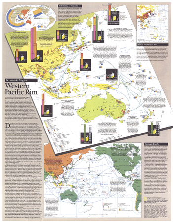
Western Pacific Rim - Published 1989
National Geographic
Published as a supplement to four articles including "Hanoi: The Capital Today" and the Asia-Pacific map in the November 1989 issue of National Geographic, this piece presents an abundance of information on the economic growth and development of the Western Pacific Rim. Discover the exciting changes taking place that are sure to affect the world economy in the decades to come.
Page Size: 19.75 x 25.25 in (497 x 640 mm)
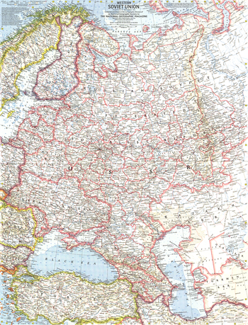
Western Soviet Union - Published 1959
National Geographic
This Cold War era map shows the Western Soviet Union. Three years prior, Soviet military force was used to suppress uprisings in Poland and Hungary. This era also saw the Soviets launch the first artificial satellite into orbit, beginning the space race with the United States. Published in September 1959 with two articles on the region.
Page Size: 19 x 25 in (480 x 630 mm)
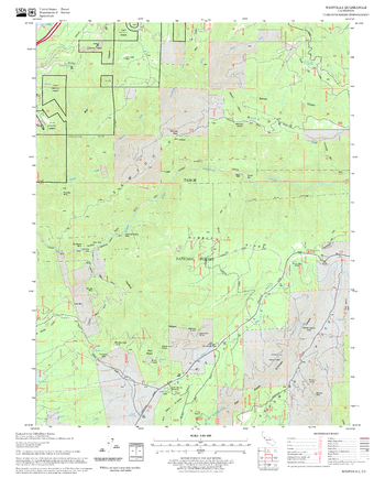
Westville Quadrangle, California
United States Forest Service
United States Department of Agriculture Forestry Service topographical map of Westville, Tahoe National Forest, California.
Page Size: 21.75 x 27 in (552 x 686 mm)
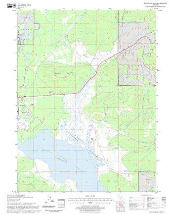
Westwood East Quadrangle, California
United States Forest Service
United States Department of Agriculture Forestry Service topographical map of Westwood East, Lassen National Forest, California.
Page Size: 21.75 x 27 in (552 x 686 mm)
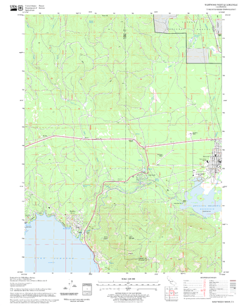
Westwood West Quadrangle, California
United States Forest Service
United States Department of Agriculture Forestry Service topographical map of Westwood West, Lassen National Forest, California.
Page Size: 21.75 x 27 in (552 x 686 mm)
No search results