


MapSherpa Catalog
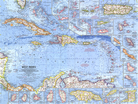
West Indies - Published 1962
National Geographic
This colorful and detailed map of the West Indies features inset maps of over two dozen islands, as well as ocean bathymetry, currents, and prevailing winds. Operation Bootstrap was the name given to ambitious projects which rapidly industrialized Puerto Rico in the 1950s, shifting the region's economy from agriculture to manufacturing. Published in December 1962 with the article "Puerto Rico's Seven-league Bootstraps."
Page Size: 25 x 19 in (633 x 480 mm)
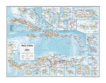
West Indies - Atlas of the World, 10th Edition
National Geographic
Anguilla (U.K.), Antigua and Barbuda, Aruba (Neth.), Bahamas, Barbados, Bonaire (Neth.), Cayman Is. (U.K.), Cuba, Curaçao (Neth.), Dominica, Dominican Republic, Guadeloupe (Fr.), Haiti, Jamaica, Martinique (Fr.), Montserrat (U.K.), Puerto Rico (U.S.), St. Kitts and Nevis, St. Lucia, St. Vincent and the Grenadines, Turks and Caicos Is. (U.K.), Virgin Islands (U.K. and U.S.)
Page Size: 28 x 22 in (711 x 559 mm)
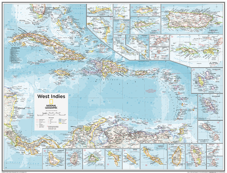
West Indies - Atlas of the World, 10th Edition - Compact
National Geographic
Anguilla (U.K.), Antigua and Barbuda, Aruba (Neth.), Bahamas, Barbados, Bonaire (Neth.), Cayman Is. (U.K.), Cuba, Curaçao (Neth.), Dominica, Dominican Republic, Guadeloupe (Fr.), Haiti, Jamaica, Martinique (Fr.), Montserrat (U.K.), Puerto Rico (U.S.), St. Kitts and Nevis, St. Lucia, St. Vincent and the Grenadines, Turks and Caicos Is. (U.K.), Virgin Islands (U.K. and U.S.)
Page Size: 21 x 16 in (532 x 406 mm)
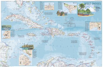
West Indies - Published 2003
National Geographic
This attractive political map shows the many island countries comprising the West Indies and contains inset maps and information for the cities of San Juan, Nassau, Charlotte Amalie, George Town, and Havana. Published in March 2003 as half of a two–map set with "A Traveler's Map of the West Indies."
Page Size: 31.25 x 20.25 in (791 x 510 mm)
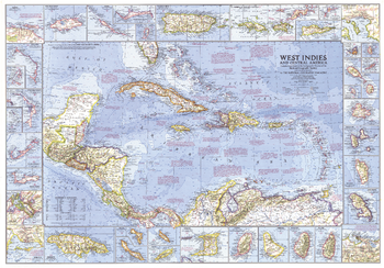
West Indies and Central America - Published 1970
National Geographic
This wonderfully detailed map of the West Indies and Central America includes inset maps of over thirty islands, four cities, and the Panama Canal. A particularly unique feature of this map is the splashdown points of various space missions. Published in January 1970 to accompany the article "The Netherlands Antilles: Holland in the Caribbean."
Page Size: 38 x 26.5 in (963 x 672 mm)
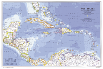
West Indies and Central America - Published 1981
National Geographic
In the Caribbean, the 1980s were marked by political unrest in Haiti and Grenada and economic difficulties in Jamaica. This map of the West Indies and Central America was published in February 1981 as a companion to two articles, "The U.S. Virgin Islands" and "The Caribbean: Sun, Sea, and Seething."
Page Size: 33.75 x 22.5 in (855 x 570 mm)
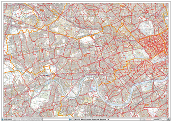
West London - W - Postcode Wall Map
XYZ Maps
The West London Postcode Sector Wall Map shows detailed postcode sector boundaries (W1 1, W1 2) on a comprehensive background and is perfect for determining postcode boundaries for sales areas, planning mailshots and also an excellent reference for logistics. This wall map covers the whole of the W Postcode Area.
Page Size: 47 x 33.25 in (1189 x 841 mm)
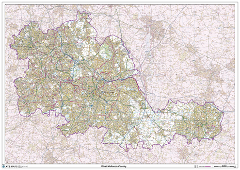
West Midlands County Map
XYZ Maps
This is a large ceremonial county map of the West Midlands. highlighting the county border, with the surrounding area faded out for excellent contrast. The map covers Wolverhampton, Walsall, West Bromwich, Dudley, Stourbridge, Birmingham, Solihull, Coventry. The county map shows the latest County and Unitary Authority Boundaries, Overlaid on a Clear and Easy to Read Ordnance Survey map.
Page Size: 47 x 33.25 in (1189 x 841 mm)
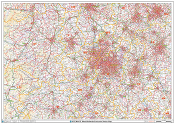
West Midlands Postcode Sector Wall Map (S10)
XYZ Maps
The West Midlands Postcode Sector Wall Map shows detailed postcode sector boundaries along with its associated label (B1 1, B1 2) on a comprehensive background and is perfect for determining postcode boundaries, for sales, logistics, planning mailshots or as a regional reference guide.
Page Size: 47 x 33.25 in (1189 x 841 mm)
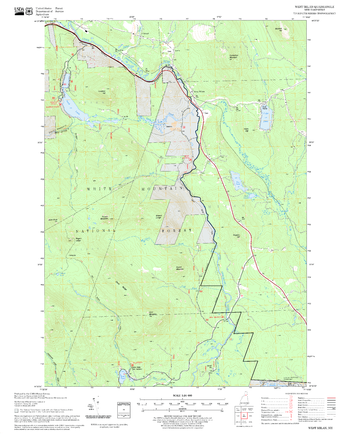
West Milan Quadrangle, New Hampshire-Vermont
United States Forest Service
United States Department of Agriculture Forestry Service topographical map of West Milan, White Mountains National Forest, New Hampshire-Vermont.
Page Size: 21.75 x 27 in (552 x 686 mm)
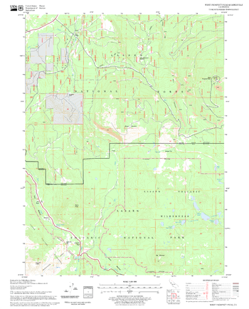
West Prospect Peak Quadrangle, California
United States Forest Service
United States Department of Agriculture Forestry Service topographical map of West Prospect Peak, Lassen National Forest, California.
Page Size: 21.75 x 27 in (552 x 686 mm)
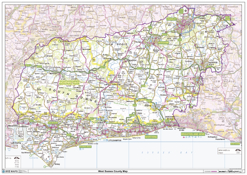
West Sussex County Map
XYZ Maps
This is a large ceremonial county map of West Sussex highlighting the county border, with the surrounding area faded out for excellent contrast. The map covers East Grinstead, Crawley, Horsham, Midhurst, Chichester, Bognor Regis and Worthing. The county map shows the latest County and Unitary Authority Boundaries, overlaid on a clear and easy to read Ordnance Survey map.
Page Size: 47 x 33.25 in (1189 x 841 mm)
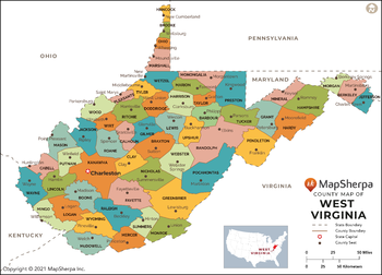
West Virginia Counties Map - Extra Large
MapSherpa
This map has been created exclusively for MapSherpa, and designed for reference or business use. Clear and clean colors & fonts matched with cartographic research makes this map of West Virginia Counties Map easily readable and useful. The map shows the 55 counties of West Virginia and their borders across the Mountain State.
Page Size: 60 x 43.25 in (1524 x 1097 mm)
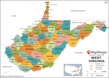
West Virginia Counties Map - Large
MapSherpa
This map has been created exclusively for MapSherpa, and designed for reference or business use. Clear and clean colors & fonts matched with cartographic research makes this map of West Virginia Counties Map easily readable and useful. The map shows the 55 counties of West Virginia and their borders across the Mountain State.
Page Size: 48 x 34.75 in (1219 x 877 mm)
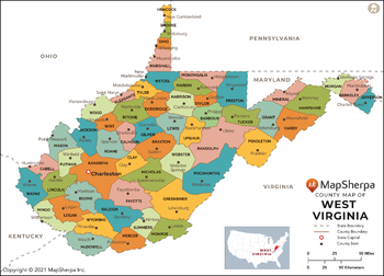
West Virginia Counties Map - Standard
MapSherpa
This map has been created exclusively for MapSherpa, and designed for reference or business use. Clear and clean colors & fonts matched with cartographic research makes this map of West Virginia Counties Map easily readable and useful. The map shows the 55 counties of West Virginia and their borders across the Mountain State.
Page Size: 36 x 26 in (914 x 658 mm)
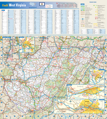
West Virginia State Wall Map
Globe Turner
This colorful, easy-to-read state map of West Virginia identifies all major thoroughfares, secondary roads, freeway interchanges, rest areas, distance markers, landmarks, recreational areas, and more. Shaded relief on the state map provides a three-dimensional sense of West Virginia's topography. Detailed city inset maps of Charleston, Huntington, Morgantown, and Wheeling are based on the latest street information from our cartographic experts. County and city indices make it simple to locate even the smallest town.
Page Size: 16.5 x 18.5 in (419 x 467 mm)
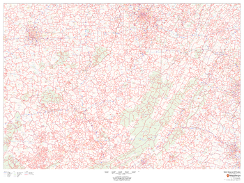
West Virginia ZIP Code Map
MapSherpa
This map of West Virginia shows ZIP codes overlaid on a road map. Base map features include municipality and county boundaries, major road network features, and state and national parks and conservation areas.
Page Size: 48 x 36 in (1219 x 914 mm)
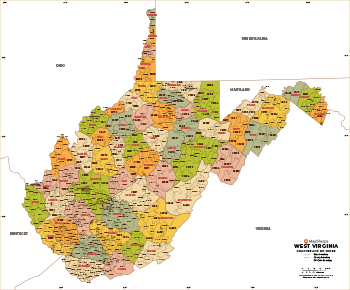
West Virginia ZIP Code Map with Counties - Extra Large
MapSherpa
This map has been created exclusively for MapSherpa, and designed for business or reference use. Clear and clean colors & fonts matched with cartographic research makes this West Virginia Zip Code Map with Counties easily readable and useful. The map shows the 55 counties of West Virginia and the borders of the over 700 zip codes across the Mountain State.
Page Size: 60 x 49.75 in (1524 x 1262 mm)
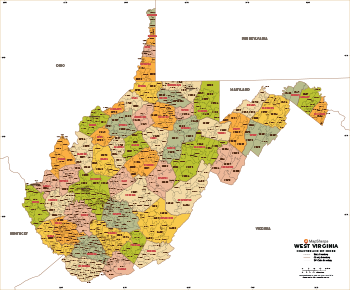
West Virginia ZIP Code Map with Counties - Large
MapSherpa
This map has been created exclusively for MapSherpa, and designed for business or reference use. Clear and clean colors & fonts matched with cartographic research makes this West Virginia Zip Code Map with Counties easily readable and useful. The map shows the 55 counties of West Virginia and the borders of the over 700 zip codes across the Mountain State.
Page Size: 48 x 39.75 in (1219 x 1010 mm)
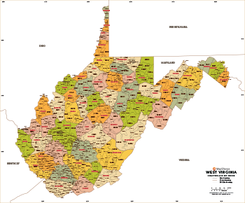
West Virginia ZIP Code Map with Counties - Standard
MapSherpa
This map has been created exclusively for MapSherpa, and designed for business or reference use. Clear and clean colors & fonts matched with cartographic research makes this West Virginia Zip Code Map with Counties easily readable and useful. The map shows the 55 counties of West Virginia and the borders of the over 700 zip codes across the Mountain State.
Page Size: 36 x 30 in (914 x 757 mm)
No search results