


MapSherpa Catalog
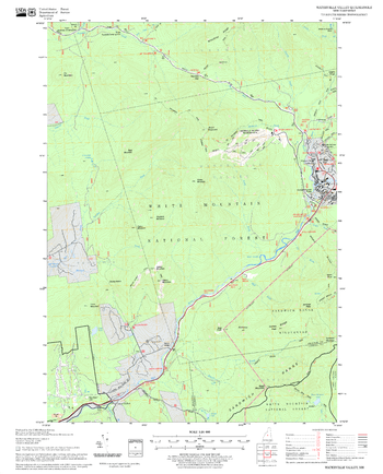
Waterville Valley Quadrangle, New Hampshire-Vermont
United States Forest Service
United States Forestry Service topographical map of Waterville Valley, New Hampshire-Vermont
Page Size: 21.75 x 27 in (552 x 686 mm)
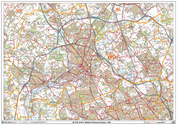
Watford - WD - Postcode Wall Map
XYZ Maps
The Watford Postcode Sector Wall Map shows detailed postcode sector boundaries (WD1 1, WD1 2) on a comprehensive background and is perfect for determining postcode boundaries for sales areas, planning mailshots and also an excellent reference for logistics. This wall map covers the whole of the WD Postcode Area.
Page Size: 47 x 33.25 in (1189 x 841 mm)
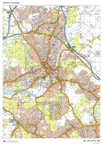
Watford A-Z Street Map
A-Z Maps
This up-to-date A-Z street map covers Watford, including the town centre together with the surrounding districts of Bushey, Leavesden, North Watford, Oxhey and West Watford. Coverage also extends to neighbouring areas including Northwood and Croxley Green.
Page Size: 23.5 x 33.25 in (594 x 841 mm)
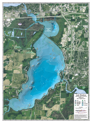
Waubesa Lake
Mapping Specialists
An Attractive map of the lake showing a visual 3D representation of the lake bottom. Includes boat launches, rock area and vegetation. Land area is high resolution aerial imagery.
Page Size: 27.75 x 37.25 in (705 x 943 mm)
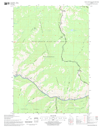
Waugh Mountain Quadrangle, Idaho
United States Forest Service
United States Department of Agriculture Forestry Service topographical map of Waugh Mountain, Salmon-Chalis National Forest, Idaho.
Page Size: 21.75 x 27 in (552 x 686 mm)
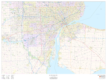
Wayne County, Michigan
MapSherpa
This map of Wayne County, Michigan shows regional level information. Base map features include highways and major roads with labelling; neighborhood names; railways; high level land use such as parks and recreation areas, industrial areas and hospital campuses; and a selection of points of interest including transportation hubs like airports and train stations, tourist information, police stations and shopping centres. ZIP code boundaries are shown as a secondary map feature.
Page Size: 48 x 36 in (1219 x 914 mm)
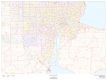
Wayne County, Michigan ZIP Codes
MapSherpa
This map of Wayne County, Michigan shows ZIP code areas overlaid on a road map. Ideal for planning of deliveries, home services, sales territories, real estate and much more. Base map features include all roads with major roads and highways labelled; neighborhood names; railways; and high level land use such as parks and recreation areas, industrial areas and hospital campuses.
Page Size: 48 x 36 in (1219 x 914 mm)
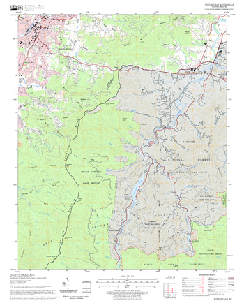
Waynesville Quadrangle, North Carolina
United States Forest Service
United States Department of Agriculture Forestry Service topographical map of Waynesville, Pisgah National Forest, North Carolina.
Page Size: 21.75 x 27 in (552 x 686 mm)
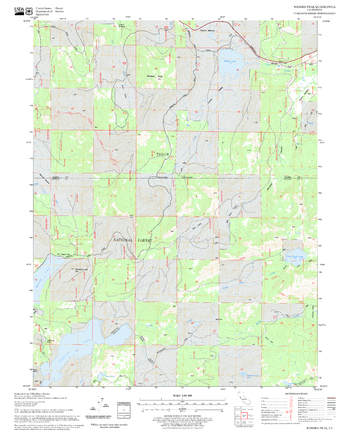
Webber Peak Quadrangle, California
United States Forest Service
United States Department of Agriculture Forestry Service topographical map of Webber Peak, Tahoe National Forest, California.
Page Size: 21.75 x 27 in (552 x 686 mm)
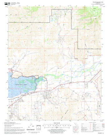
Weldon Quadrangle, California
United States Forest Service
United States Department of Agriculture Forestry Service topographical map of Weldon, Sequoia National Forest, California.
Page Size: 21.75 x 27 in (552 x 686 mm)
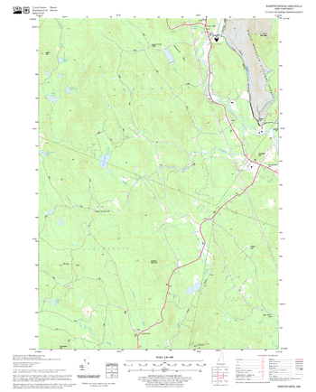
Wentworth Quadrangle, New Hampshire-Vermont
United States Forest Service
United States Forestry Service topographical map of Wentworth, New Hampshire-Vermont
Page Size: 21.75 x 27 in (552 x 686 mm)
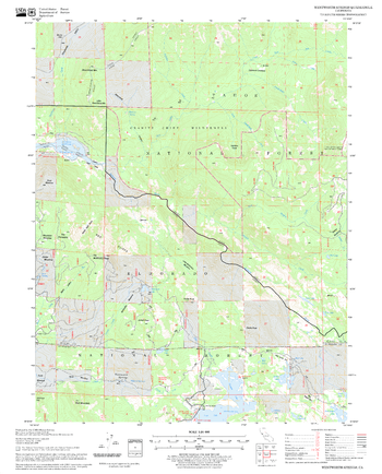
Wentworth Springs Quadrangle, California
United States Forest Service
United States Department of Agriculture Forestry Service topographical map of Wentworth Springs, Tahoe National Forest, California.
Page Size: 21.75 x 27 in (552 x 686 mm)
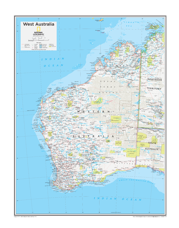
West Australia - Atlas of the World, 10th Edition
National Geographic
Page Size: 22 x 28 in (559 x 711 mm)
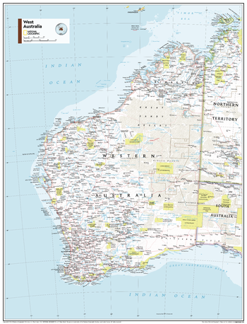
West Australia - Atlas of the World, 11th Edition
National Geographic
This West Australia map of political and physical can fit in any space. Showcasing the region in stunning detail with state-of-the-art cartographic techniques delivering accuracy and exceptional quality, the innovative and engaging design makes the content easily accessible and user-friendly.
Ideal for classrooms with an emphasis on teaching geography or environmental themes. The inclusion of physical features gives your students a genuine feel for how our world appears.
This map uses a bright, easy to read color palette featuring blue oceans and stunning shaded relief that has been featured on National Geographic wall maps for over 75 years. Drawn in the Azimuthal Equidistant projection, this map ensures that all points on the map are at proportionally correct distances from the center point.
This map is found in National Geographic's 11th Edition World Atlas and is now available as a stand alone product.
Page Size: 24 x 31.5 in (610 x 798 mm)
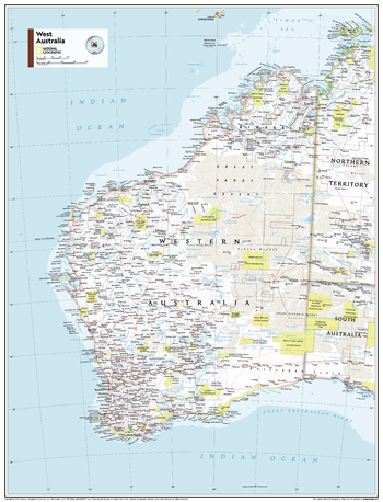
West Australia - Atlas of the World, 11th Edition - Compact
National Geographic
This West Australia map of political and physical can fit in any space. Showcasing the region in stunning detail with state-of-the-art cartographic techniques delivering accuracy and exceptional quality, the innovative and engaging design makes the content easily accessible and user-friendly.
Ideal for classrooms with an emphasis on teaching geography or environmental themes. The inclusion of physical features gives your students a genuine feel for how our world appears.
This map uses a bright, easy to read color palette featuring blue oceans and stunning shaded relief that has been featured on National Geographic wall maps for over 75 years. Drawn in the Azimuthal Equidistant projection, this map ensures that all points on the map are at proportionally correct distances from the center point.
This map is found in National Geographic's 11th Edition World Atlas and is now available as a stand alone product.
Page Size: 16.25 x 21.5 in (413 x 540 mm)
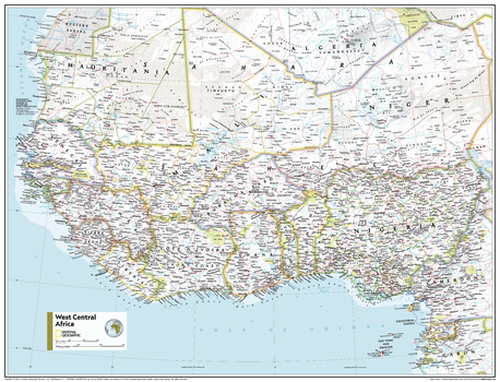
West Central Africa - Atlas of the World, 11th Edition
National Geographic
This West Central Africa map of physical and political features can fit in any space. Showcasing the region in stunning detail with state-of-the-art cartographic techniques delivering accuracy and exceptional quality, the innovative and engaging design makes the content easily accessible and user-friendly.
Ideal for classrooms with an emphasis on teaching geography or environmental themes. The inclusion of physical features gives your students a genuine feel for how our world appears.
This map uses a bright, easy to read color palette featuring blue oceans and stunning shaded relief that has been featured on National Geographic wall maps for over 75 years. It is drawn in the Transverse Mercator projection, which is a cylindrical map projection for nautical navigation because it represents lines of constant course.
This map is found in National Geographic's 11th Edition World Atlas and is now available as a stand alone product.
Page Size: 31.5 x 24 in (798 x 610 mm)
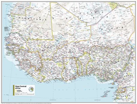
West Central Africa - Atlas of the World, 11th Edition - Compact
National Geographic
This West Central Africa map of physical and political features can fit in any space. Showcasing the region in stunning detail with state-of-the-art cartographic techniques delivering accuracy and exceptional quality, the innovative and engaging design makes the content easily accessible and user-friendly.
Ideal for classrooms with an emphasis on teaching geography or environmental themes. The inclusion of physical features gives your students a genuine feel for how our world appears.
This map uses a bright, easy to read color palette featuring blue oceans and stunning shaded relief that has been featured on National Geographic wall maps for over 75 years. It is drawn in the Transverse Mercator projection, which is a cylindrical map projection for nautical navigation because it represents lines of constant course.
This map is found in National Geographic's 11th Edition World Atlas and is now available as a stand alone product.
Page Size: 21.5 x 16.25 in (540 x 413 mm)
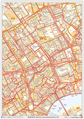
West City London - WC - Postcode Wall Map
XYZ Maps
The West City London Postcode Sector Wall Map shows detailed postcode sector boundaries (WC1 1, WC1 2) on a comprehensive background and is perfect for determining postcode boundaries for sales areas, planning mailshots and also an excellent reference for logistics. This wall map covers the whole of the WC Postcode Area.
Page Size: 33.25 x 47 in (841 x 1189 mm)
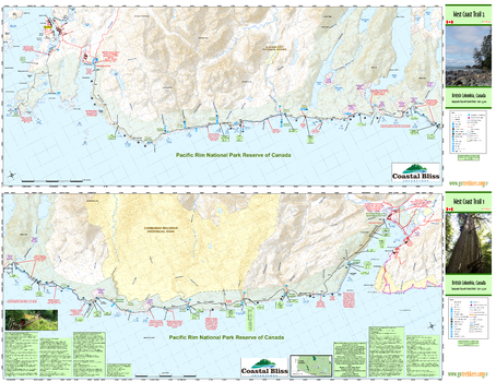
West Coast Trail
GoTrekkers
West Coast Trail
Page Size: 46 x 35.5 in (1168 x 902 mm)
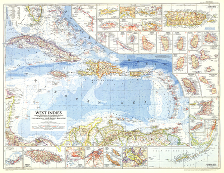
West Indies - Published 1954
National Geographic
This colorful map of the West Indies contains thirty inset maps providing spectacular detail of the many islands in the Caribbean. Published in March 1954 with two articles, "Jamaica - Hub of the Caribbean" and "Night Life in the Gulf Stream."
Page Size: 37.5 x 29 in (949 x 735 mm)
No search results