


MapSherpa Catalog
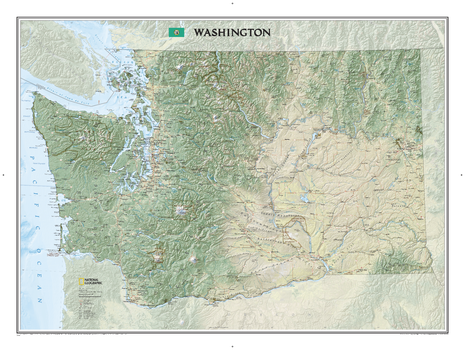
Washington
National Geographic
Explore the forested islands of Puget Sound, the snow-capped Cascades, and the agricultural basins fed by the Columbia and Snake rivers with National Geographic's wall map of Washington. Part of the growing series of State Wall Maps, this map offers a dramatic visualization of the Evergreen State's physical geography. Stunning shaded relief and vibrant colorization depicts mountain ranges, forests, valleys, and other physical topography.In addition to the geographical features such as mountain ranges, prominent peaks, islands, major lakes, rivers, and reservoirs, this map includes the location of cities, towns, airports, national and state parks, and military bases. The Pacific Crest Trail, a long-distance hiking and equestrian trail to runs through the entire state from the border with Canada into Oregon, is shown as well.
Page Size: 40.5 x 30.25 in (1029 x 768 mm)
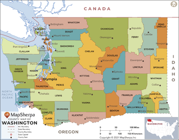
Washington Counties Map - Extra Large
MapSherpa
This map has been created exclusively for MapSherpa, and designed for reference or business use. Clear and clean colors & fonts matched with cartographic research makes this map of Washington Counties Map easily readable and useful. The map shows the 39 counties of Washington and their borders across the Evergreen State.
Page Size: 60 x 47 in (1524 x 1191 mm)
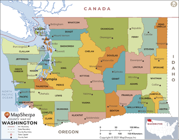
Washington Counties Map - Large
MapSherpa
This map has been created exclusively for MapSherpa, and designed for reference or business use. Clear and clean colors & fonts matched with cartographic research makes this map of Washington Counties Map easily readable and useful. The map shows the 39 counties of Washington and their borders across the Evergreen State.
Page Size: 48 x 37.75 in (1219 x 953 mm)
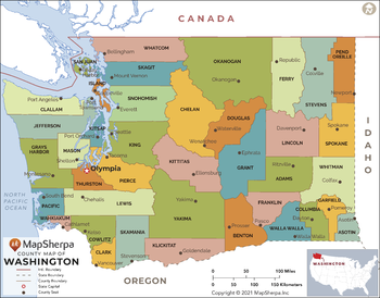
Washington Counties Map - Standard
MapSherpa
This map has been created exclusively for MapSherpa, and designed for reference or business use. Clear and clean colors & fonts matched with cartographic research makes this map of Washington Counties Map easily readable and useful. The map shows the 39 counties of Washington and their borders across the Evergreen State.
Page Size: 36 x 28.25 in (914 x 715 mm)
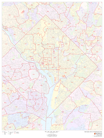
Washington Metropolitan Area ZIP Codes
MapSherpa
This map of the Washington Metropolitan shows ZIP code areas overlaid on a road map. Ideal for planning of deliveries, home services, sales territories, real estate and much more. Base map features include all roads with major roads and highways labelled; neighborhood names; railways; and high level land use such as parks and recreation areas, industrial areas and hospital campuses.
Page Size: 36 x 48 in (914 x 1219 mm)
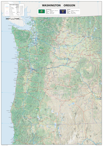
Washington Oregon
Sparrow Maps
A detailed physical map of Washington and Oregon USA, with land cover and relief features and including National Parks showing administrative divisions, state capitals, county seats and other settlements, roads and airports. The state flag, area and population are included for each state. One of a series of attractive maps of US states giving a comprehensive overview.
Page Size: 23.5 x 33.25 in (594 x 841 mm)
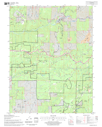
Washington Quadrangle, California
United States Forest Service
United States Department of Agriculture Forestry Service topographical map of Washington, Tahoe National Forest, California.
Page Size: 21.75 x 27 in (552 x 686 mm)
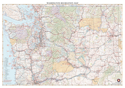
Washington Recreation Wall Map
Benchmark Maps
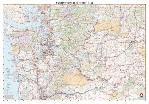
Washington features all the best natural landscapes of the Pacific Northwest, including skyscraping volcanic peaks, immense temperate forests, coastal wonders, inlet waterways, and manicured wine country. This wall map illustrates the public lands, scenic roadways, and recreation possibilities throughout The Evergreen State.
Page Size: 40 x 28.25 in (1016 x 717 mm)
Washington Recreation Wall Map – 26 inch
Benchmark Maps
Washington features all the best natural landscapes of the Pacific Northwest, including skyscraping volcanic peaks, immense temperate forests, coastal wonders, inlet waterways, and manicured wine country. This wall map illustrates the public lands, scenic roadways, and recreation possibilities throughout The Evergreen State.
Page Size: 37.25 x 26 in (943 x 660 mm)
Washington State Wall Map
Globe Turner
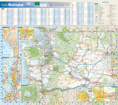
This colorful, easy-to-read state map of Washington identifies all major thoroughfares, secondary roads, freeway interchanges, rest areas, distance markers, landmarks, recreational areas, and more. Shaded relief on the state map provides a three-dimensional sense of Washington's topography. Detailed city inset maps of Olympia, Seattle, Spokane, and Yakima are based on the latest street information from our cartographic experts. Up-to-date insets of Mount Rainier National Park and downtown Seattle provide must-see information on these tourist areas. County and city indices make it simple to locate even the smallest town.
Page Size: 20.75 x 18.5 in (524 x 467 mm)
Washington ZIP Code Map
MapSherpa
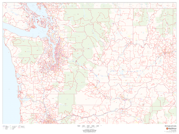
This map of Washington shows ZIP codes overlaid on a road map. Base map features include municipality and county boundaries, major road network features, and state and national parks and conservation areas.
Page Size: 48 x 36 in (1219 x 914 mm)
Washington ZIP Code Map with Counties - Extra Large
MapSherpa
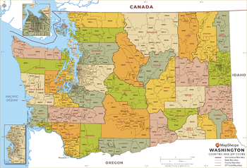
This map has been created exclusively for MapSherpa, and designed for business or reference use. Clear and clean colors & fonts matched with cartographic research makes this Washington Zip Code Map with Counties easily readable and useful. The map shows the 39 counties of Washington and the borders of the over 500 zip codes across the Evergreen State.
Page Size: 60 x 41 in (1524 x 1037 mm)
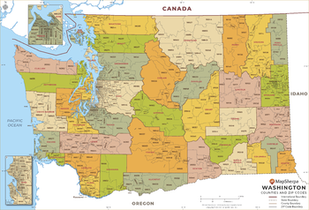
Washington ZIP Code Map with Counties - Large
MapSherpa
This map has been created exclusively for MapSherpa, and designed for business or reference use. Clear and clean colors & fonts matched with cartographic research makes this Washington Zip Code Map with Counties easily readable and useful. The map shows the 39 counties of Washington and the borders of the over 500 zip codes across the Evergreen State.
Page Size: 48 x 32.75 in (1219 x 830 mm)
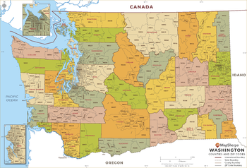
Washington ZIP Code Map with Counties - Standard
MapSherpa
This map has been created exclusively for MapSherpa, and designed for business or reference use. Clear and clean colors & fonts matched with cartographic research makes this Washington Zip Code Map with Counties easily readable and useful. The map shows the 39 counties of Washington and the borders of the over 500 zip codes across the Evergreen State.
Page Size: 36 x 24.5 in (914 x 622 mm)
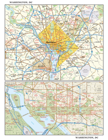
Washington, DC Wall Map, large
Globe Turner
This detailed reference map combines two maps in one - a regional map of the District of Columbia and surrounding Maryland and Virginia suburbs plus a street-level map of downtown Washington. The regional map shows the area's cities and towns, highways and roads, and a variety of points of interest. Encompassing the historic area between Georgetown and Capitol Hill - including The Mall, The White House, the Capitol Building, and a part of Arlington National Cemetery in Virginia - the downtown map shows highways, streets, parks, landmarks, and other points of interest. Also available in a small size of 14.625" high X 11.25" wide.
Page Size: 22.75 x 29.5 in (572 x 743 mm)
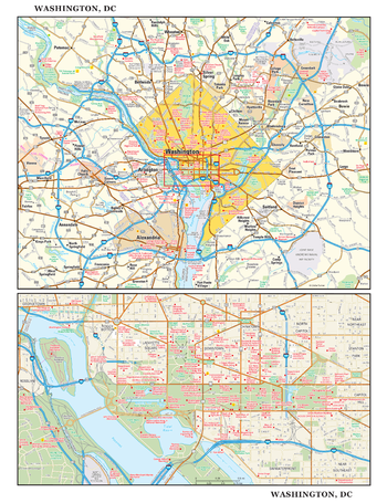
Washington, DC Wall Map, small
Globe Turner
This detailed reference map combines two maps in one - a regional map of the District of Columbia and surrounding Maryland and Virginia suburbs plus a street-level map of downtown Washington. The regional map shows the area's cities and towns, highways and roads, and a variety of points of interest. Encompassing the historic area between Georgetown and Capitol Hill - including The Mall, The White House, the Capitol Building, and a part of Arlington National Cemetery in Virginia - the downtown map shows highways, streets, parks, landmarks, and other points of interest. Also available in a large size of 29.25" high X 22.50" wide.
Page Size: 11.25 x 14.75 in (286 x 371 mm)
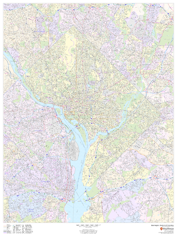
Washington, District of Columbia - Portrait
MapSherpa
This portrait-oriented map of Washington, District of Columbia shows detailed street level information including extensive street labeling. Ideal for planning of deliveries, home services, sales territories, real estate and much more. Base map features include all roads with major roads and highways labelled; neighborhood names; railways; high level land use such as parks and recreation areas, industrial areas and hospital campuses; and a variety of points of interest including schools, libraries, stadiums, museums, border crossings and more.
Page Size: 36 x 48 in (914 x 1219 mm)
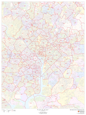
Washington, District of Columbia ZIP Codes
MapSherpa
This map of Washington, D.C. shows ZIP code areas overlaid on a road map. Ideal for planning of deliveries, home services, sales territories, real estate and much more. Base map features include all roads with major roads and highways labelled; neighborhood names; railways; and high level land use such as parks and recreation areas, industrial areas and hospital campuses.
Page Size: 36 x 48 in (914 x 1219 mm)
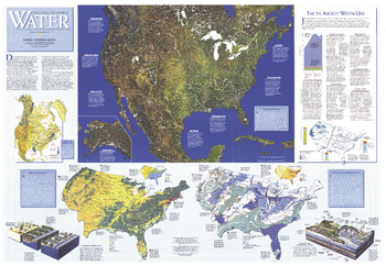
Water Precious Resource - Published 1993
National Geographic
The "Water: Precious Resource" map contains a wealth of information on surface water, ground water, water pollution, and water usuage. This map was published in National Geographic in November 1993 in a special issue devoted to water. A map of the United States also accompanied it.
Page Size: 43.25 x 30 in (1097 x 758 mm)
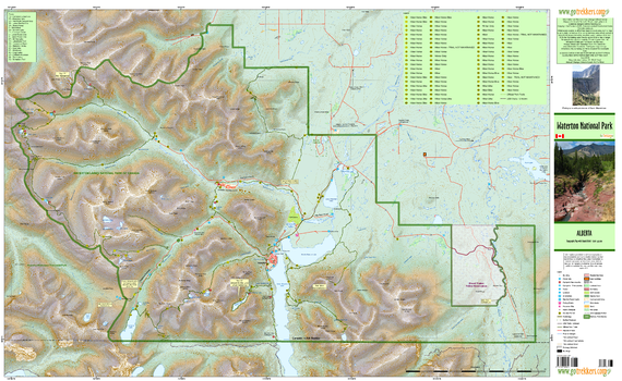
Waterton National Park
GoTrekkers
Waterton National Park
Page Size: 44 x 27 in (1118 x 686 mm)
No search results