


MapSherpa Catalog
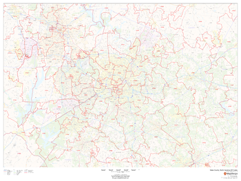
Wake County, North Carolina ZIP Codes
MapSherpa
This map of Wake County, North Carolina shows ZIP code areas overlaid on a road map. Ideal for planning of deliveries, home services, sales territories, real estate and much more. Base map features include all roads with major roads and highways labelled; neighborhood names; railways; and high level land use such as parks and recreation areas, industrial areas and hospital campuses.
Page Size: 48 x 36 in (1219 x 914 mm)
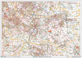
Wakefield - WF - Postcode Wall Map
XYZ Maps
The Wakefield Postcode Sector Wall Map shows detailed postcode sector boundaries (WF1 1, WF1 2) on a comprehensive background and is perfect for determining postcode boundaries for sales areas, planning mailshots and also an excellent reference for logistics. This wall map covers the whole of the WF Postcode Area.
Page Size: 47 x 33.25 in (1189 x 841 mm)
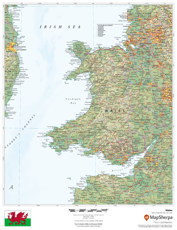
Wales
MapSherpa
This beautiful map shows physical and political features for Wales and surrounding areas. Relief shading and the use of different colours by height above sea level are both informative and attractive.
Page Size: 17 x 22 in (432 x 559 mm)
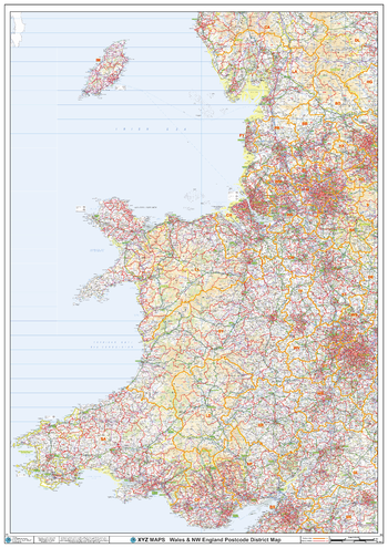
Wales Postcode District Wall Map (D3)
XYZ Maps
The Wales Postcode District Map clearly shows postcode district boundaries and associated district labels (CF1, CF2) on a comprehensive background and is perfect for determining postcode boundaries for sales territories, logistics, planning mailshots or as a regional reference guide.
Page Size: 33.25 x 47 in (841 x 1189 mm)
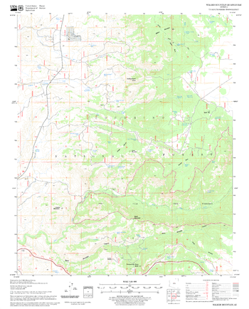
Walker Mountain Quadrangle, Arizona
United States Forest Service
United States Department of Agriculture Forestry Service topographical map of Walker Mountain, Coconino National Forest, Arizona.
Page Size: 21.75 x 27 in (552 x 686 mm)
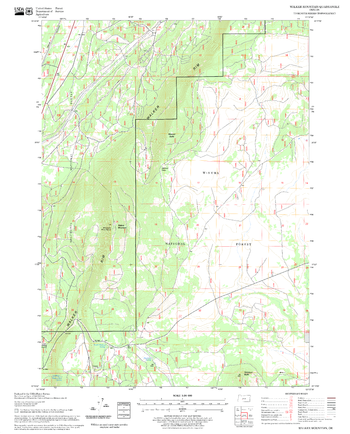
Walker Mountain Quadrangle, Oregon
United States Forest Service
United States Department of Agriculture Forestry Service topographical map of Walker Mountain, Deschutes National Forest, Oregon.
Page Size: 21.75 x 27 in (552 x 686 mm)
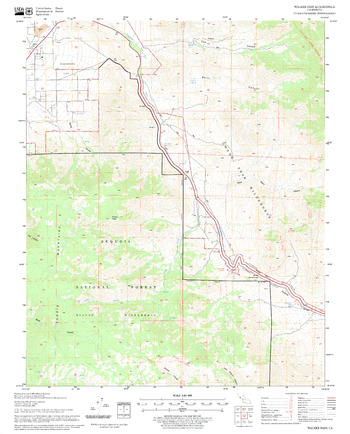
Walker Pass Quadrangle, California
United States Forest Service
United States Department of Agriculture Forestry Service topographical map of Walker Pass, Sequoia National Forest, California.
Page Size: 21.75 x 27 in (552 x 686 mm)
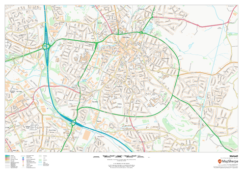
Walsall
MapSherpa
This map of Walsall shows detailed street level information including extensive street labelling. Ideal for planning of deliveries, home services, sales territories, real estate and much more.
Page Size: 33.25 x 23.5 in (841 x 594 mm)
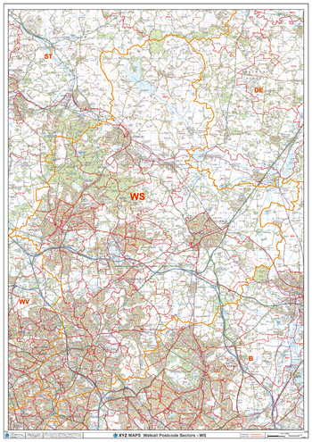
Walsall - WS - Postcode Wall Map
XYZ Maps
The Walsall Postcode Sector Wall Map shows detailed postcode sector boundaries (WS1 1, WS1 2) on a comprehensive background and is perfect for determining postcode boundaries for sales areas, planning mailshots and also an excellent reference for logistics. This wall map covers the whole of the WS Postcode Area.
Page Size: 33.25 x 47 in (841 x 1189 mm)
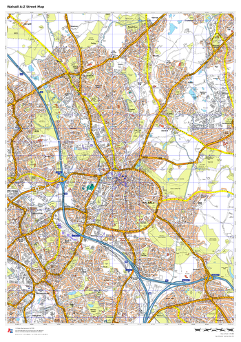
Walsall A-Z Street Map
A-Z Maps
This up-to-date A-Z street map covers Walsall, including the town centre together with the surrounding districts of Bloxwich, Darlaston, Leamore, Pelsall, Rushall and Walsall Wood.
Page Size: 23.5 x 33.25 in (594 x 841 mm)
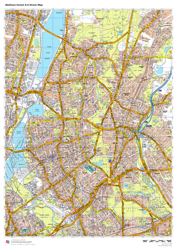
Waltham Forest A-Z Street Map
A-Z Maps
This up-to-date A-Z street map covers the London Borough of Waltham Forest, including the districts of Walthamstow, Chingford, Leyton, Leytonstone and Walthamstow.
Page Size: 23.5 x 33.25 in (594 x 841 mm)
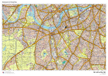
Wandsworth A-Z Street Map
A-Z Maps
This up-to-date A-Z street map covers the London Borough of Wandsworth, including the districts of Clapham, Battersea, Putney, Roehampton, Tooting and Wandsworth.
Page Size: 33.25 x 23.5 in (841 x 594 mm)
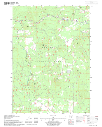
Wanoga Butte Quadrangle, Oregon
United States Forest Service
United States Department of Agriculture Forestry Service topographical map of Wanoga Butte, Deschutes National Forest, Oregon.
Page Size: 21.75 x 27 in (552 x 686 mm)
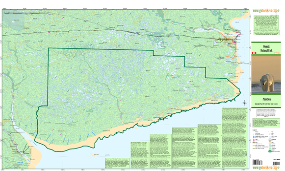
Wapusk National Park
GoTrekkers
Wapusk National Park
Page Size: 41.5 x 25 in (1054 x 635 mm)
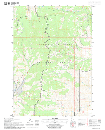
Wards Butte Quadrangle, Idaho
United States Forest Service
United States Department of Agriculture Forestry Service topographical map of Wards Butte, Salmon-Chalis National Forest, Idaho.
Page Size: 21.75 x 27 in (552 x 686 mm)
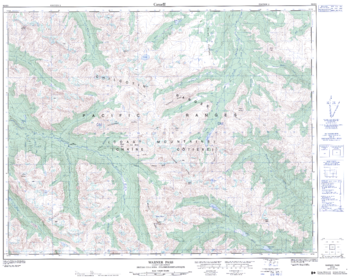
Warner Pass - 92 O/3 - British Columbia
Natural Resources Canada
Canadian topographic map of Warner Pass, British Columbia. NTS sheet 092O03 Edition 2.
Page Size: 32 x 25.5 in (808 x 643 mm)
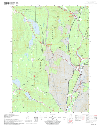
Warren Quadrangle, New Hampshire-Vermont
United States Forest Service
United States Forestry Service topographical map of Warren, New Hampshire-Vermont
Page Size: 21.75 x 27 in (552 x 686 mm)
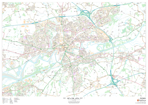
Warrington
MapSherpa
This map of Warrington shows detailed street level information including extensive street labelling. Ideal for planning of deliveries, home services, sales territories, real estate and much more.
Page Size: 47 x 33.25 in (1189 x 841 mm)
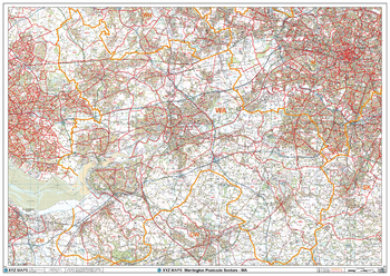
Warrington - WA - Postcode Wall Map
XYZ Maps
The Warrington Postcode Sector Wall Map shows detailed postcode sector boundaries (WA1 1, WA1 2) on a comprehensive background and is perfect for determining postcode boundaries for sales areas, planning mailshots and also an excellent reference for logistics. This wall map covers the whole of the WA Postcode Area.
Page Size: 47 x 33.25 in (1189 x 841 mm)
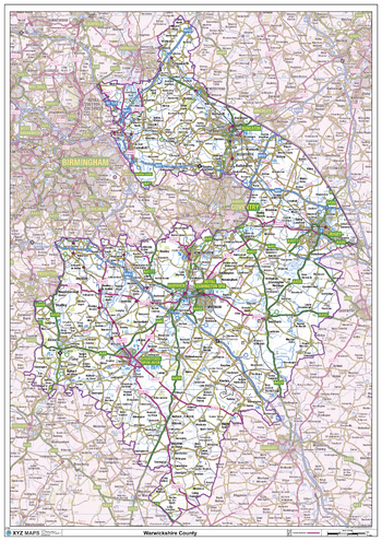
Warwickshire County Map
XYZ Maps
This is a large ceremonial county map of Warwickshire highlighting the county border, with the surrounding area faded out for excellent contrast. The map covers Nuneaton, Rugby, Royal Leamington Spa, Warwick and Straford-Upon-Avon.The county map shows the latest County and Unitary Authority Boundaries, Overlaid on a Clear and Easy to Read Ordnance Survey map.
Page Size: 33.25 x 47 in (841 x 1189 mm)
No search results