


MapSherpa Catalog
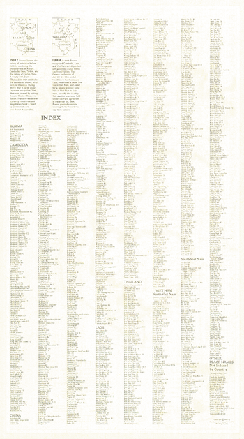
Vietnam, Cambodia, Laos and Eastern Thailand Index - Published 1965
National Geographic
This is the index for the map of Viet Nam, Cambodia, Laos and Eastern Thailand which appeared in January 1965 issue of National Geographic with the article "American Special Forces in Action in Viet Nam." An extensive index, it also includes historical information about French Indochina.
Page Size: 11.5 x 20.5 in (288 x 518 mm)
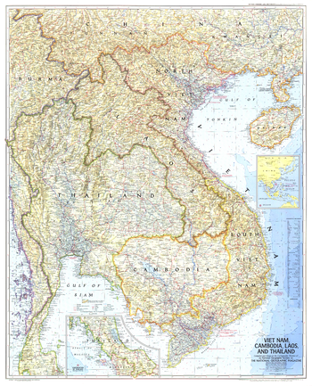
Vietnam, Cambodia, Laos, and Thailand - Published 1967
National Geographic
This map demonstrates the cartographic excellence for which National Geographic is known. Published in February 1967 with the article "Behind the Headlines in Viet Nam." A great companion to the 1965 map of the same region.
Page Size: 31.5 x 39 in (800 x 990 mm)
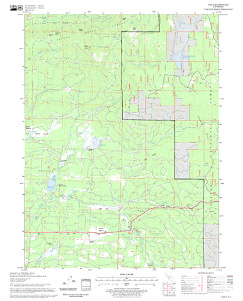
Viola Quadrangle, California
United States Forest Service
United States Department of Agriculture Forestry Service topographical map of Viola, Lassen National Forest, California.
Page Size: 21.75 x 27 in (552 x 686 mm)
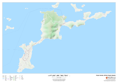
Virgin Gorda, British Virgin Islands
MapSherpa
This map of the Virgin Gorda features a full road network for the island including the capital The Valley, walking paths, land use, points of interest, and many of the buildings. Useful for the traveller, and as a wall map for display in your home.
Page Size: 33.25 x 23.5 in (841 x 594 mm)
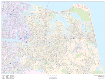
Virginia Beach, Virginia Inner Metro - Landscape
MapSherpa
This landscape-oriented map of central Virginia Beach, Virginia shows detailed street level information including extensive street labeling. Ideal for planning of deliveries, home services, sales territories, real estate and much more. Base map features include all roads with major roads and highways labelled; neighborhood names; railways; high level land use such as parks and recreation areas, industrial areas and hospital campuses; and a variety of points of interest including schools, libraries, stadiums, museums, border crossings and more.
Page Size: 48 x 36 in (1219 x 914 mm)
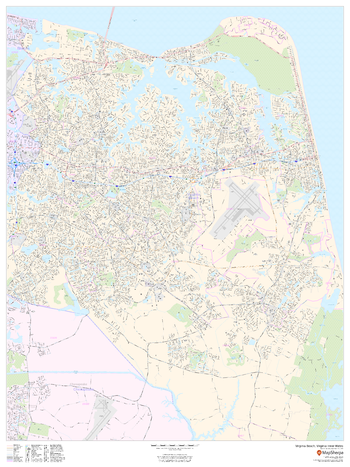
Virginia Beach, Virginia Inner Metro - Portrait
MapSherpa
This portrait-oriented map of central Virginia Beach, Virginia shows detailed street level information including extensive street labeling. Ideal for planning of deliveries, home services, sales territories, real estate and much more. Base map features include all roads with major roads and highways labelled; neighborhood names; railways; high level land use such as parks and recreation areas, industrial areas and hospital campuses; and a variety of points of interest including schools, libraries, stadiums, museums, border crossings and more.
Page Size: 36 x 48 in (914 x 1219 mm)
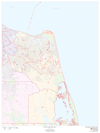
Virginia Beach, Virginia ZIP Codes
MapSherpa
This map of Virginia Beach, Virginia shows ZIP code areas overlaid on a road map. Ideal for planning of deliveries, home services, sales territories, real estate and much more. Base map features include all roads with major roads and highways labelled; neighborhood names; railways; and high level land use such as parks and recreation areas, industrial areas and hospital campuses.
Page Size: 36 x 48 in (914 x 1219 mm)
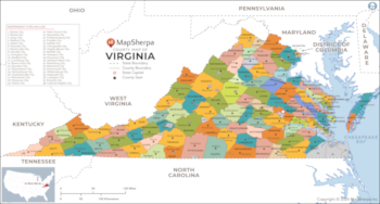
Virginia Counties Map - Extra Large
MapSherpa
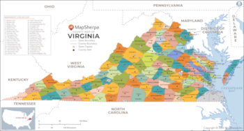
This map has been created exclusively for MapSherpa, and designed for reference or business use. Clear and clean colors & fonts matched with cartographic research makes this map of Virginia Counties Map easily readable and useful. The map shows the 95 counties of Virginia and their borders across the Old Dominion.
Page Size: 60 x 32.25 in (1524 x 817 mm)
Virginia Counties Map - Large
MapSherpa
This map has been created exclusively for MapSherpa, and designed for reference or business use. Clear and clean colors & fonts matched with cartographic research makes this map of Virginia Counties Map easily readable and useful. The map shows the 95 counties of Virginia and their borders across the Old Dominion.
Page Size: 48 x 25.75 in (1219 x 653 mm)
Virginia Counties Map - Standard
MapSherpa
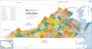
This map has been created exclusively for MapSherpa, and designed for reference or business use. Clear and clean colors & fonts matched with cartographic research makes this map of Virginia Counties Map easily readable and useful. The map shows the 95 counties of Virginia and their borders across the Old Dominion.
Page Size: 36 x 19.5 in (914 x 490 mm)
Virginia State Road Map
GM Johnson
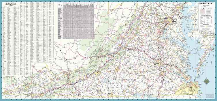
A Five Star Road Map of Virginia. Includes: Mileage Chart and Complete Index.
Page Size: 39.25 x 18.25 in (997 x 464 mm)

Virginia State Wall Map
Globe Turner
This colorful, easy-to-read state map of Virginia identifies all major thoroughfares, secondary roads, freeway interchanges, rest areas, distance markers, landmarks, recreational areas, and more. Shaded relief on the state map provides a three-dimensional sense of Virginia's topography. Detailed city inset maps of Charlottesville, Lynchburg, Norfolk/Virginia Beach, Petersburg, Richmond, Roanoke, and Williamsburg are based on the latest street information from our cartographic experts. County and city indices make it simple to locate even the smallest town.
Page Size: 30.75 x 19.25 in (781 x 489 mm)
Virginia ZIP Code Map
MapSherpa
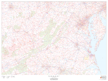
This map of Virginia shows ZIP codes overlaid on a road map. Base map features include county boundaries, major road network features, and state and national parks and conservation areas.
Page Size: 48 x 36 in (1219 x 914 mm)
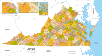
Virginia ZIP Code Map with Counties - Extra Large
MapSherpa
This map has been created exclusively for MapSherpa, and designed for business or reference use. Clear and clean colors & fonts matched with cartographic research makes this Virginia Zip Code Map with Counties easily readable and useful. The map shows the 95 counties of Virginia and the borders of the over 800 zip codes across the Old Dominion.
Page Size: 60 x 33 in (1524 x 836 mm)
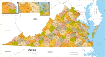
Virginia ZIP Code Map with Counties - Large
MapSherpa
This map has been created exclusively for MapSherpa, and designed for business or reference use. Clear and clean colors & fonts matched with cartographic research makes this Virginia Zip Code Map with Counties easily readable and useful. The map shows the 95 counties of Virginia and the borders of the over 800 zip codes across the Old Dominion.
Page Size: 48 x 26.5 in (1219 x 669 mm)
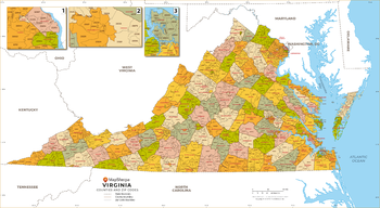
Virginia ZIP Code Map with Counties - Standard
MapSherpa
This map has been created exclusively for MapSherpa, and designed for business or reference use. Clear and clean colors & fonts matched with cartographic research makes this Virginia Zip Code Map with Counties easily readable and useful. The map shows the 95 counties of Virginia and the borders of the over 800 zip codes across the Old Dominion.
Page Size: 36 x 19.75 in (914 x 502 mm)
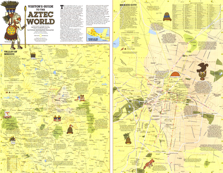
Visitors Guide to the Aztec World - Published 1980
National Geographic
Discover the intriguing world of the ancient Aztecs with the "Visitor's Guide to the Aztec World" map. Published in December 1980, this map appeared as a companion to the map of Mexico and Central America and two articles on the Aztecs. Filled with a wealth of information about archaeological sites and a modern map of Mexico City, this piece is perfect for travelers or those interested in the ancient civilizations.
Page Size: 25.75 x 20 in (650 x 505 mm)
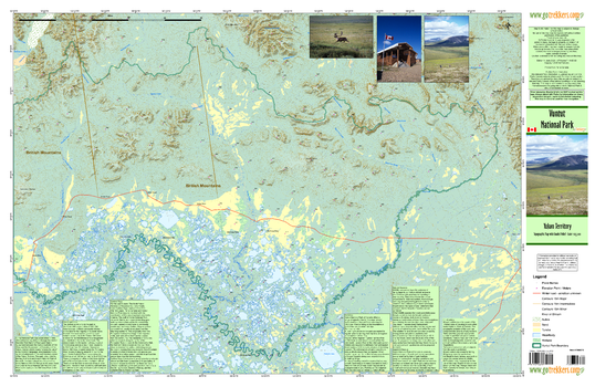
Vuntut National Park
GoTrekkers
Vuntut National Park
Page Size: 41.5 x 27 in (1054 x 686 mm)
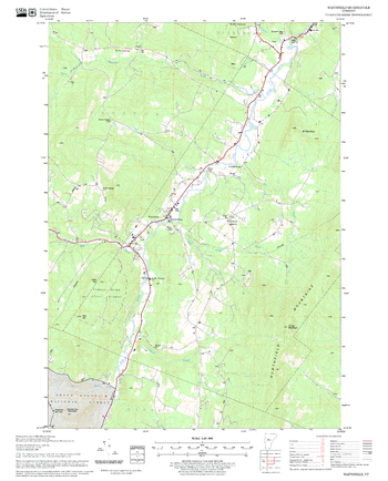
Waitsfield Quadrangle, New Hampshire-Vermont
United States Forest Service
United States Forestry Service topographical map of Waitsfield, New Hampshire-Vermont
Page Size: 21.75 x 27 in (552 x 686 mm)
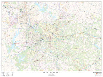
Wake County, North Carolina
MapSherpa
This map of Wake County, North Carolina shows regional level information. Base map features include highways and major roads with labelling; neighborhood names; railways; high level land use such as parks and recreation areas, industrial areas and hospital campuses; and a selection of points of interest including transportation hubs like airports and train stations, tourist information, police stations and shopping centres. ZIP code boundaries are shown as a secondary map feature.
Page Size: 48 x 36 in (1219 x 914 mm)
No search results